Downloaded 613 times
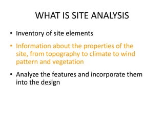
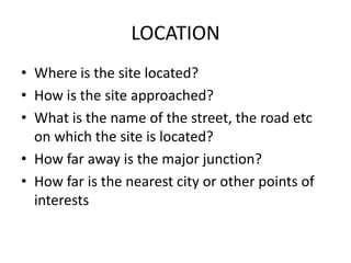

This document discusses the key elements of site analysis, including location, orientation, topography, soil conditions, vegetation, precipitation, hydrology, facilities, site context, views, and locally available resources. Conducting a thorough site analysis provides important information to incorporate site features into building design and placement.


