Downloaded 343 times

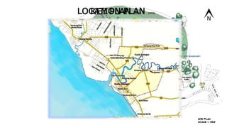
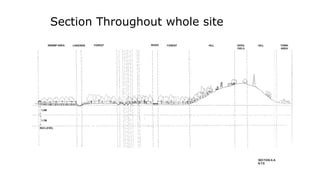
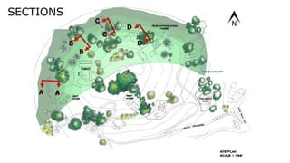
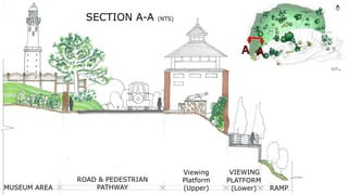
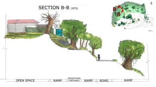
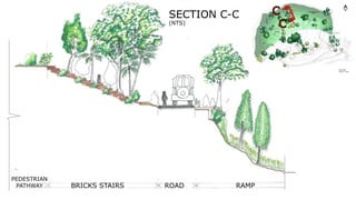
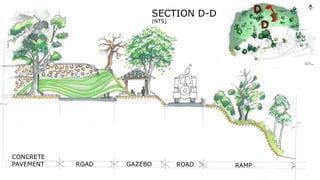

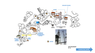
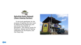
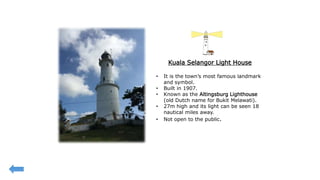
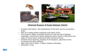
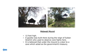
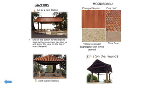
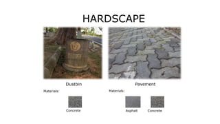
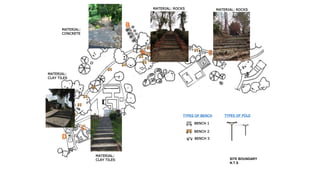


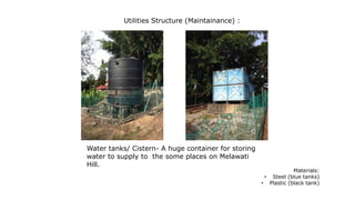
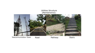
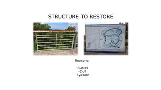
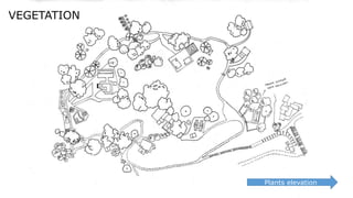
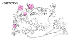
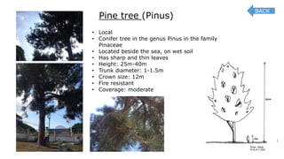
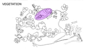
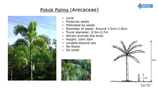
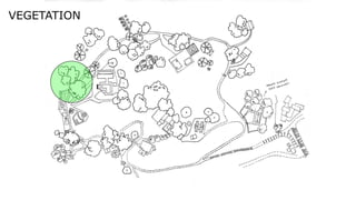
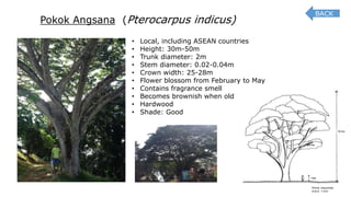
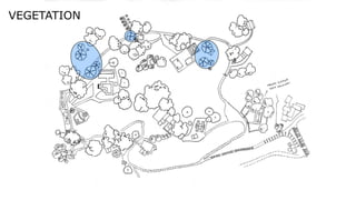
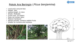
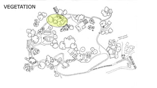
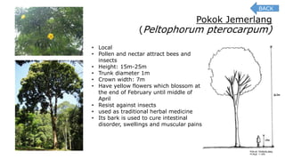
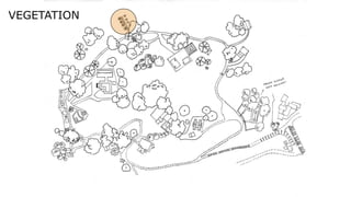
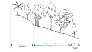
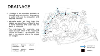
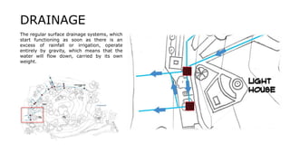
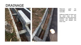
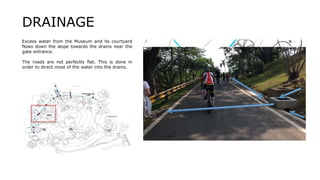
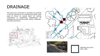
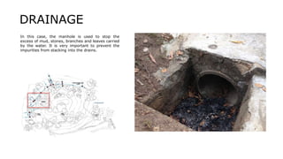
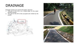

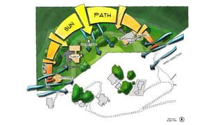
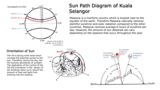
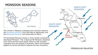
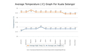
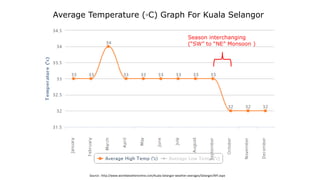
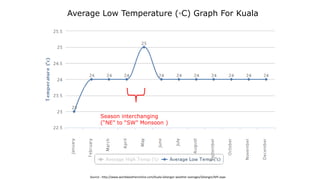
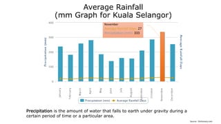
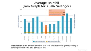
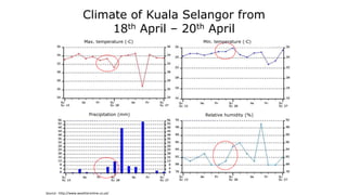
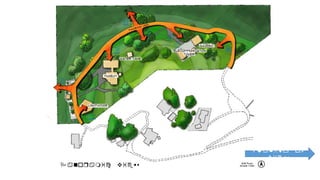
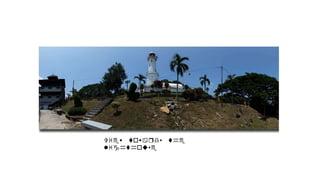
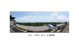
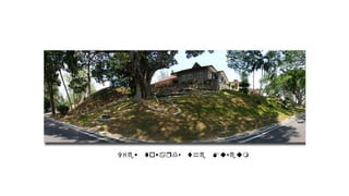
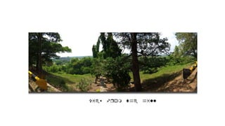
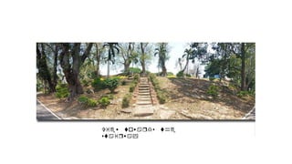
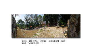
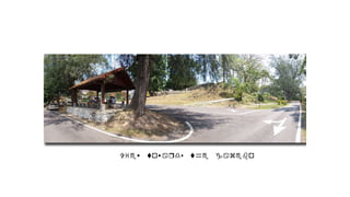
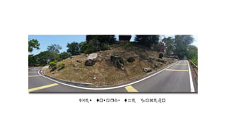
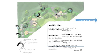
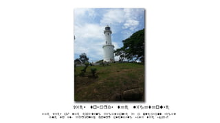
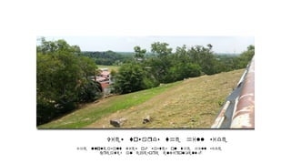
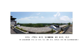
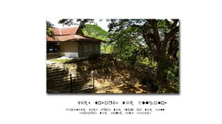
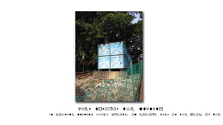
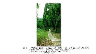
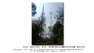
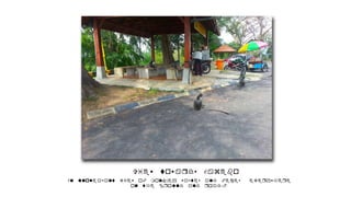
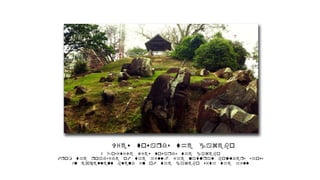

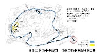
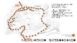
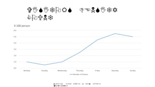

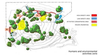


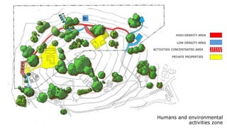

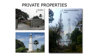
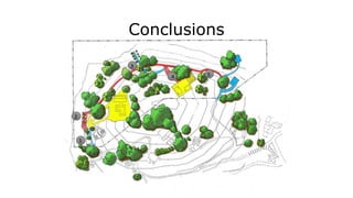
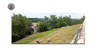
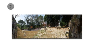
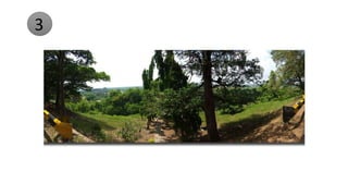
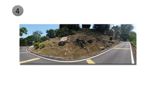

This document provides a site analysis for a proposed pavilion at the Kuala Selangor Nature Park. It includes sections, plans, and diagrams analyzing the site conditions including topography, vegetation, existing structures, climate, views, and circulation. Key existing structures discussed include the lighthouse, historical museum, gazebos, and cannons. Drainage and hardscape elements are also analyzed. Vegetation surveyed includes pine trees, palms, angsana, and ara beringin trees. Climate data presented includes sun path diagrams, temperature graphs, rainfall amounts, and monsoon wind patterns.


