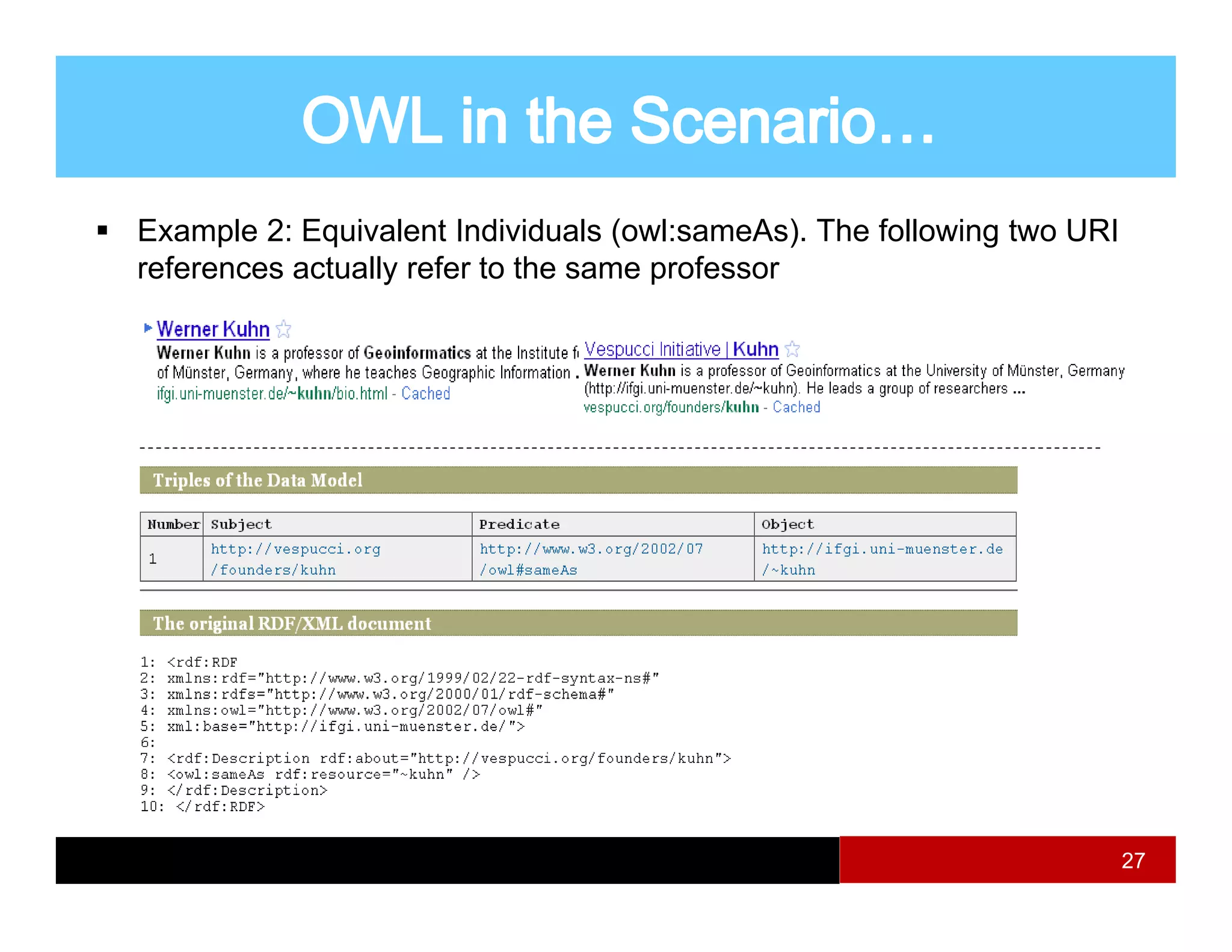
![Semantics
– study of meaning ; focuses on the relation between symbols (e g
(e.g.
words) and what they stand for [wikipedia]
– Our context : relations between the computer representations and
the corresponding real world features
features.
Interoperability
– Ability of diverse ‘systems’ to operate effectively and efficiently in
conjunction, on the exchange and reuse of available resources,
services, procedures, and information, according to the intended use
of their providers … [Kavouras et al 2010]
et.al.
– ‘System’ do not refer strictly to technical systems.
3](https://image.slidesharecdn.com/week4semanticinteroperability-110519160650-phpapp01/75/Semantic-interoperability-3-2048.jpg)
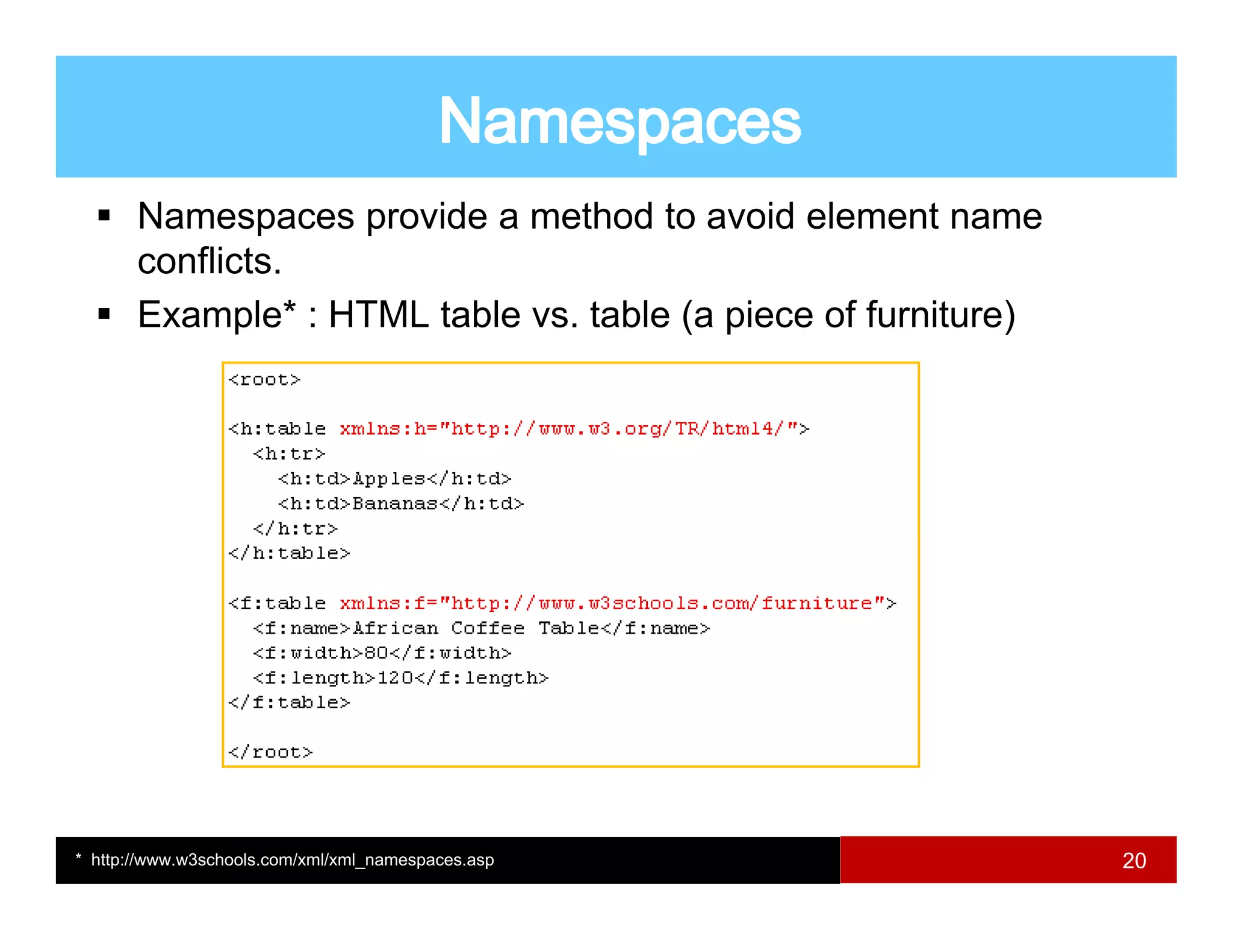
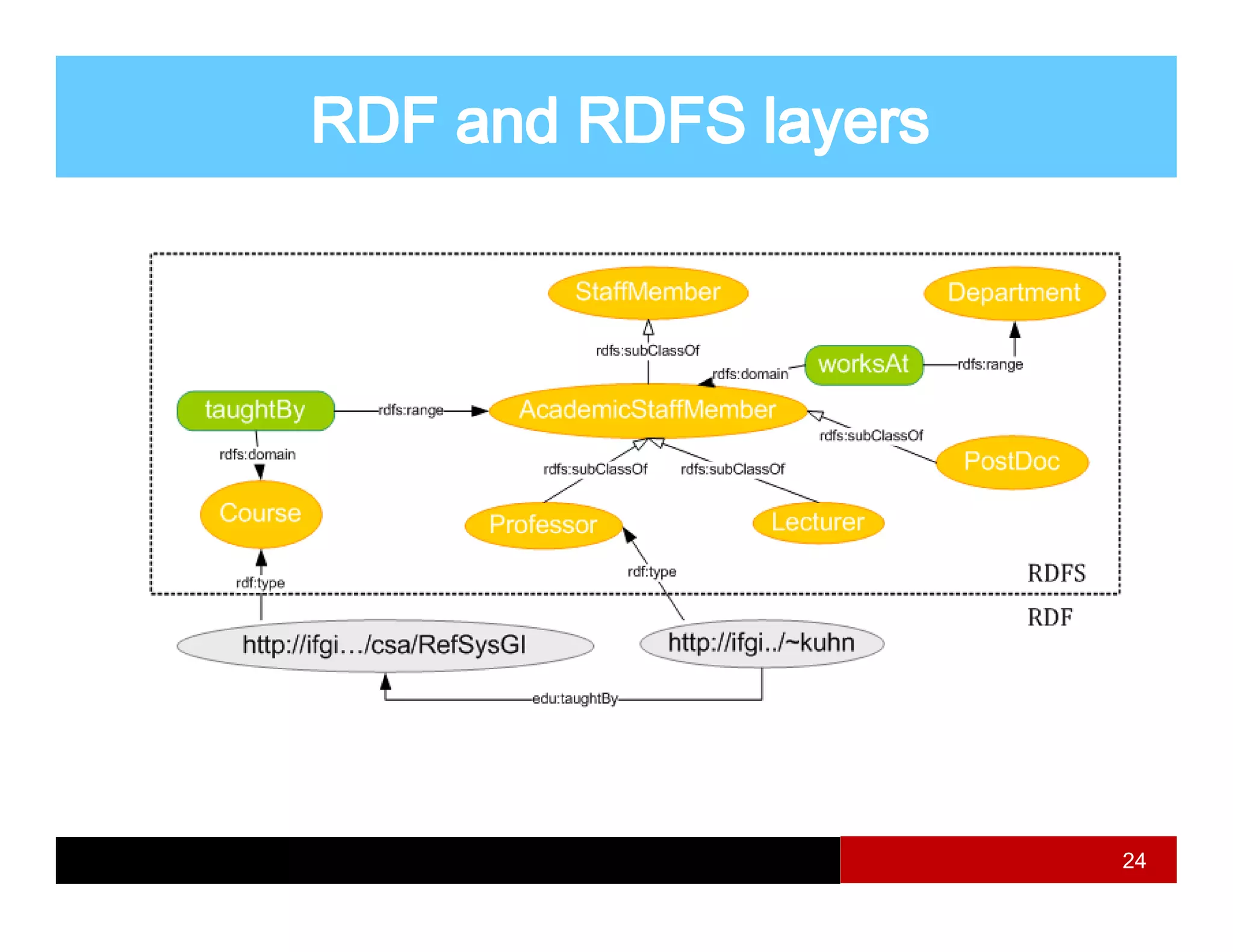
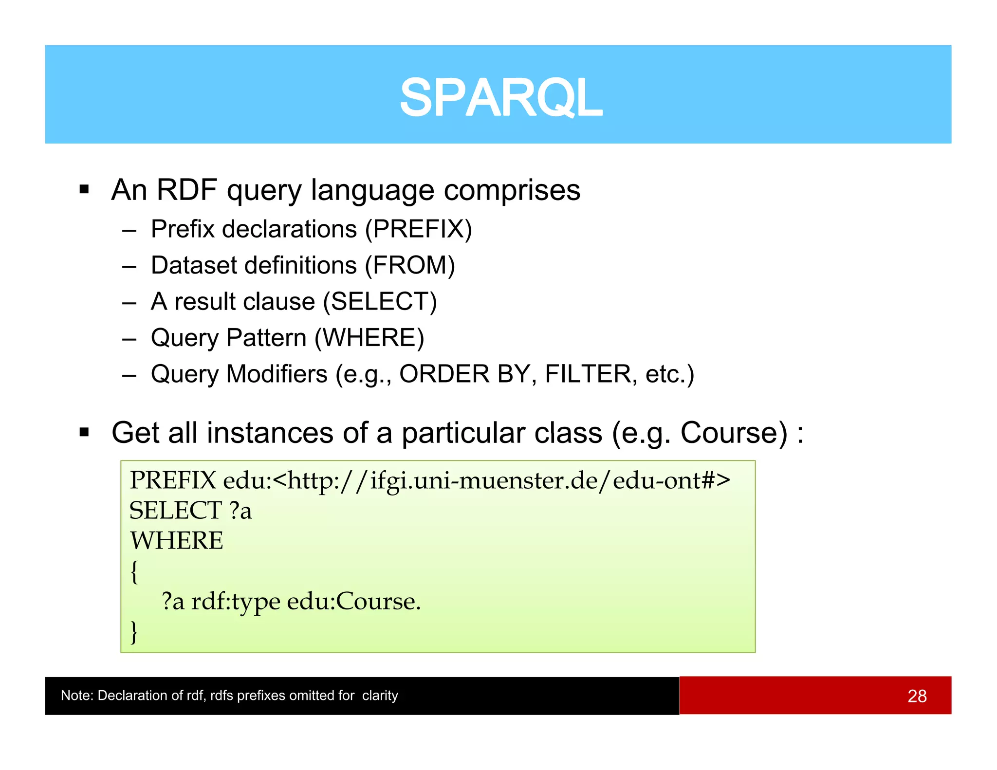
![Interoperability may occur at any six levels
Levels of interoperability [Bishr 2010]
4](https://image.slidesharecdn.com/week4semanticinteroperability-110519160650-phpapp01/75/Semantic-interoperability-4-2048.jpg)
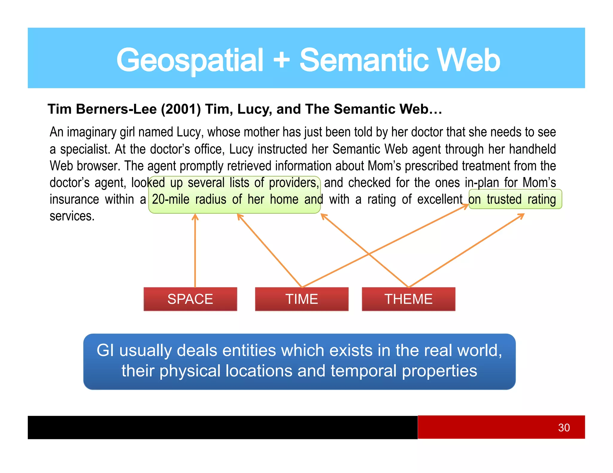
![Semantic Interoperability
– Focuses on preserving the semantics between communicating
p g g
entities.
– Information is properly interpreted by the ‘receiver’ in the same
sense as intended by ‘sender’.
y
Information perspective : Integration vs. Interoperability
- A fully interoperable solution also requires information integration to
y p q g
deal with interpretation of data.
Semantic Integration
– Subset of semantic interoperability [Kavouras et.al. 2010]
– Necessitates the reconciliation of mismatches, heterogeneities, etc.
5](https://image.slidesharecdn.com/week4semanticinteroperability-110519160650-phpapp01/75/Semantic-interoperability-5-2048.jpg)
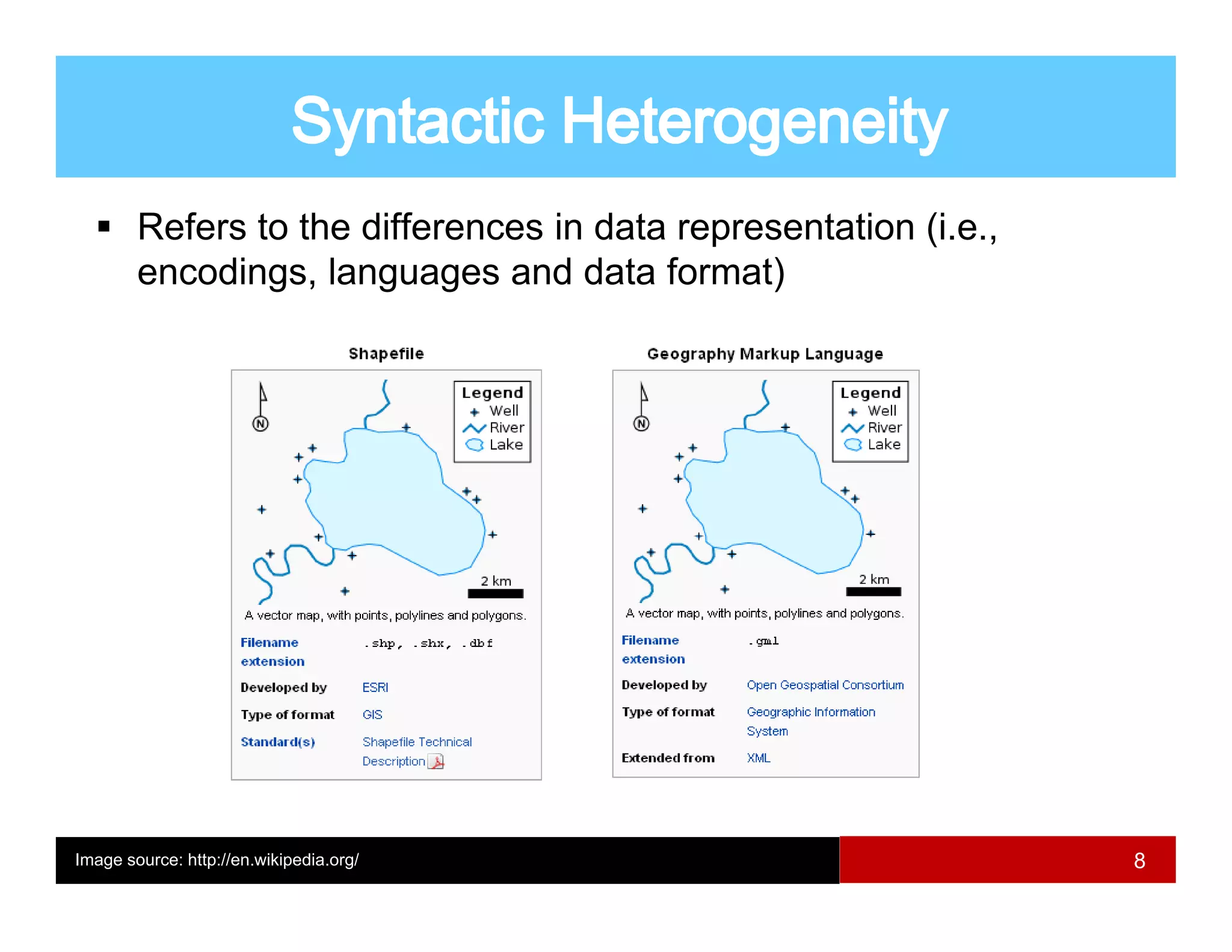
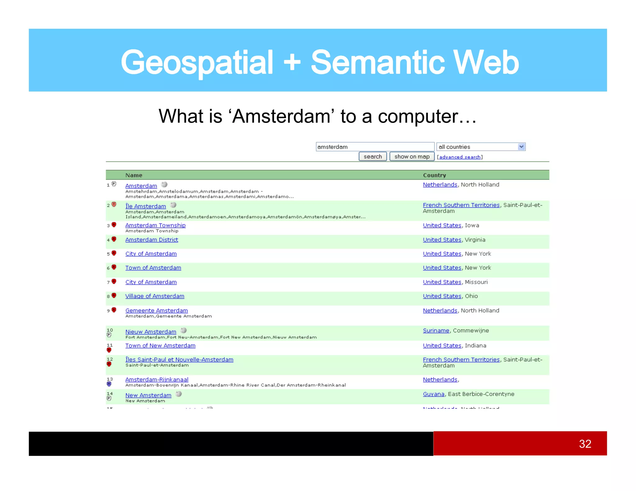
![Standards/specifications provide a syntactic approach to
encoding geospatial information [Doerr 2004]
– Source information needs adaptation to the standard.
– Symbols in a data schema need to be interpreted by users.
– A standard is one for its domain It cannot be optimal for all
domain.
applications.
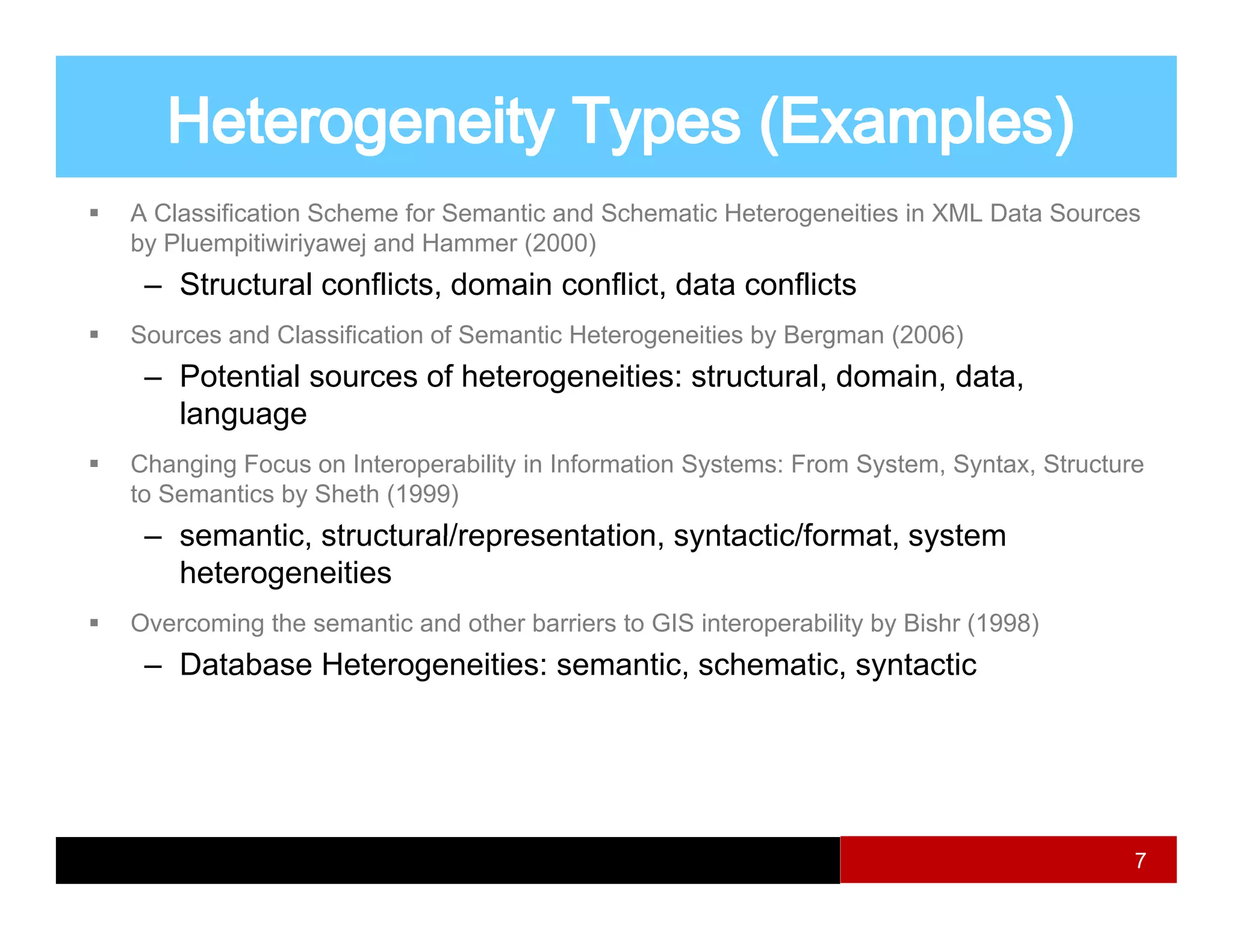
Semantic interoperability requires [Kavouras et.al. 2010]]
p y q [
– Existing heterogeneities identification
– Their importance and priority analysis
– A systematic strategy too resolve them
16](https://image.slidesharecdn.com/week4semanticinteroperability-110519160650-phpapp01/75/Semantic-interoperability-16-2048.jpg)

![River in Newcastle…
Newcastle UK
Newcastle
Australia
The need for spatial component within Semantic Web
Example : geospatial data + spatial operator [Egenhofer, 2002]
31](https://image.slidesharecdn.com/week4semanticinteroperability-110519160650-phpapp01/75/Semantic-interoperability-31-2048.jpg)
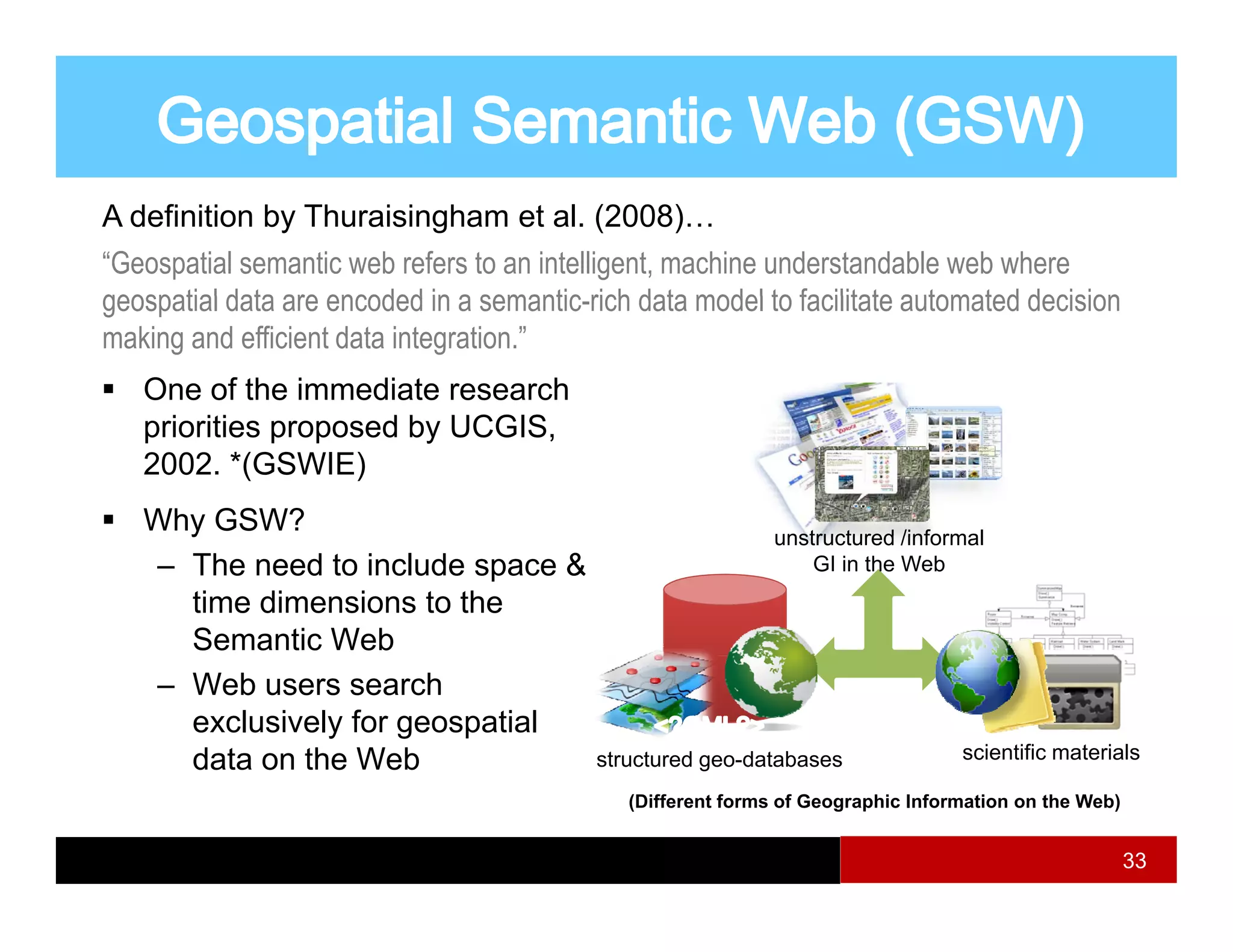
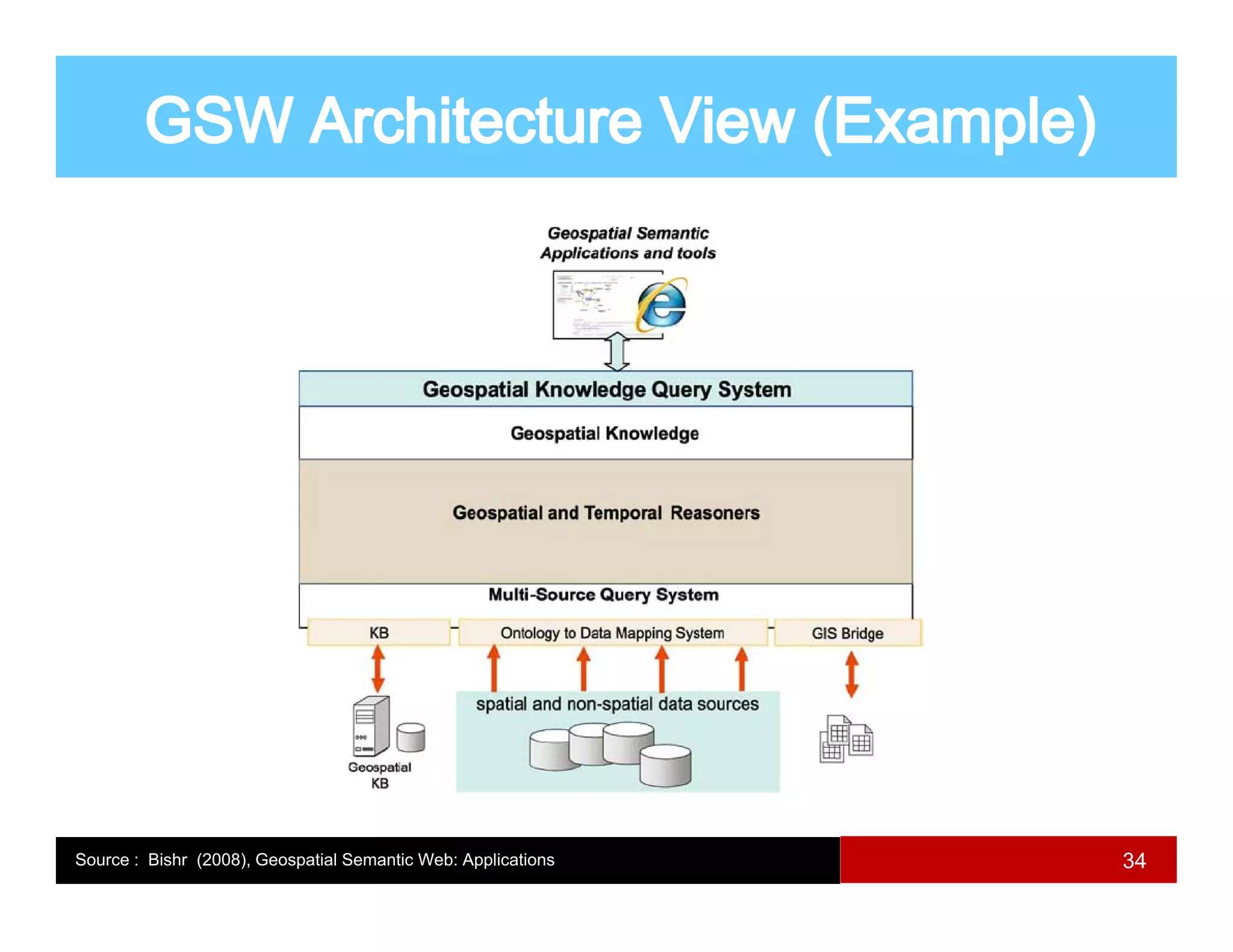
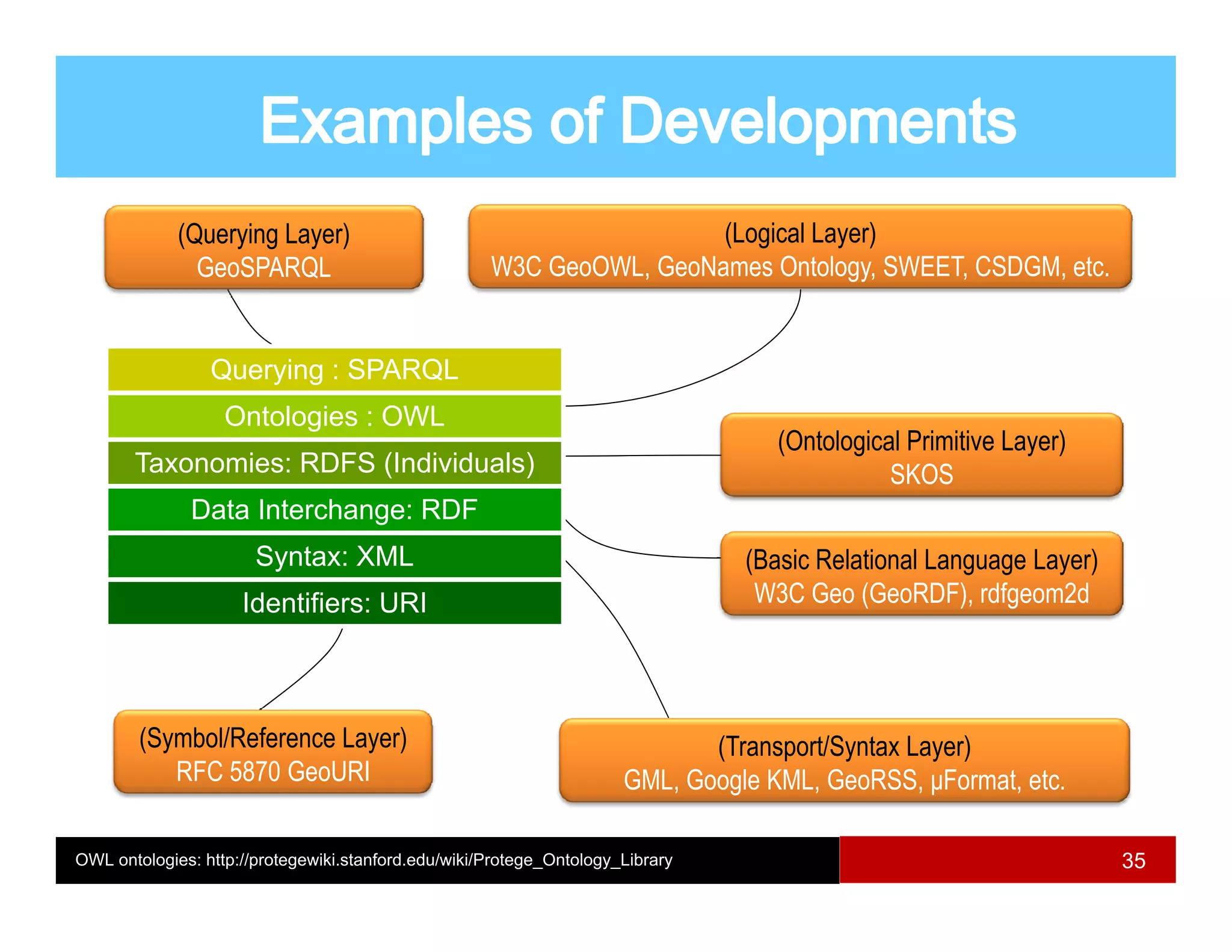

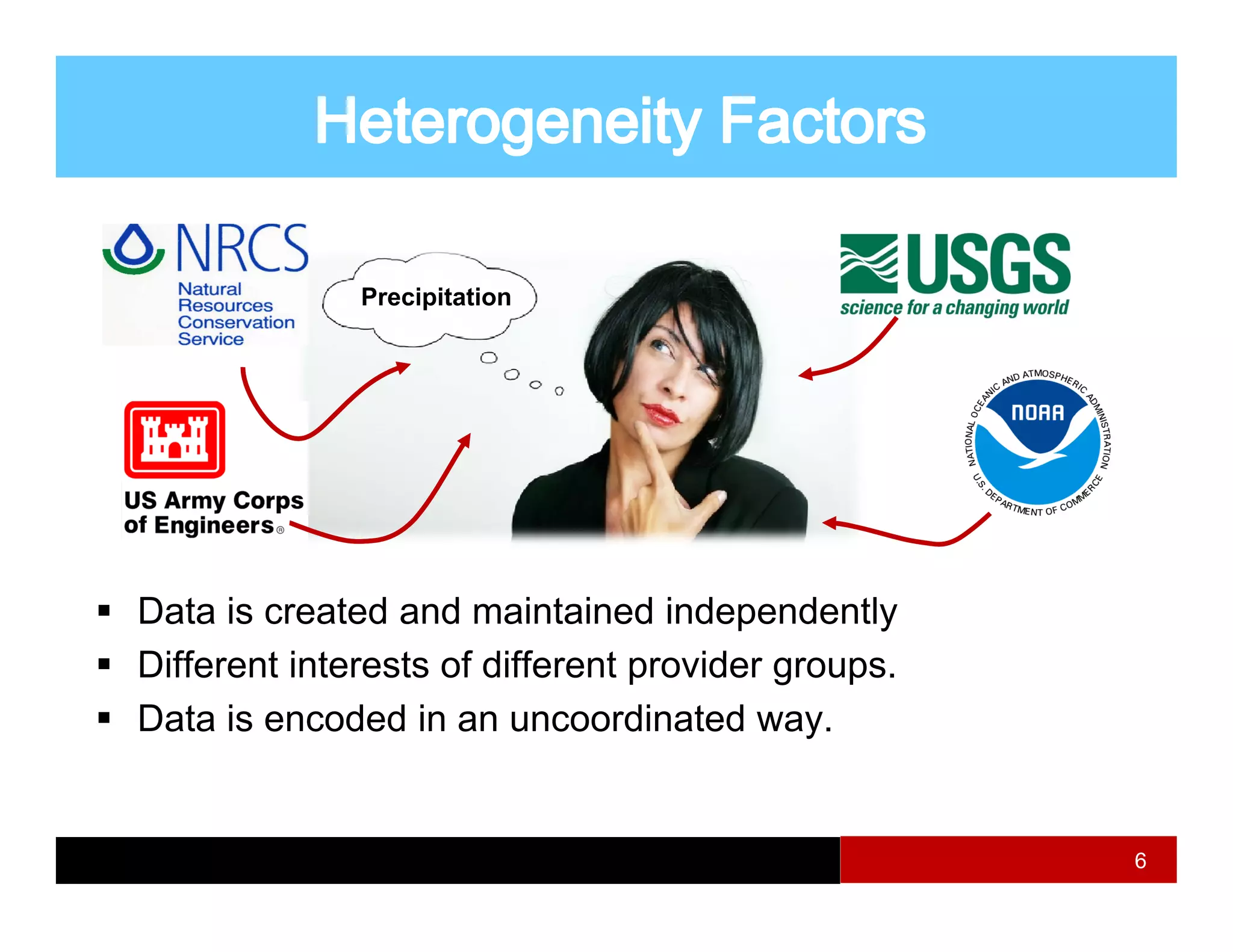
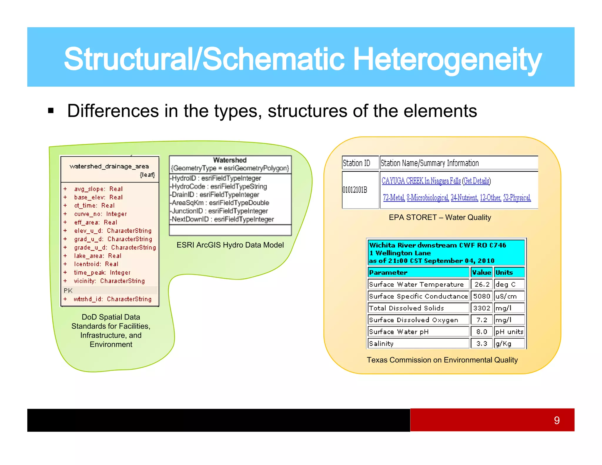
This document provides an overview of geospatial semantics and interoperability. It defines key concepts like semantics, interoperability, integration, and heterogeneities. It discusses types of heterogeneities that can occur like structural, domain, data, and language conflicts between data sources. Standards and specifications aim to provide syntactic interoperability but semantic interoperability requires identifying and resolving heterogeneities. The document also introduces geospatial semantic web and observations data standards that can help achieve greater interoperability.