Download to read offline

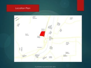
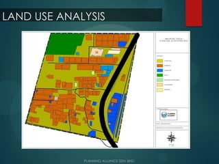
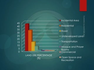
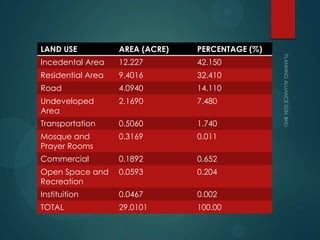
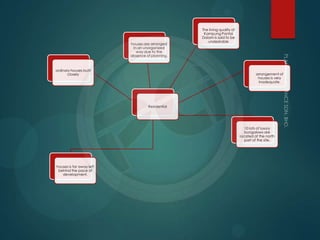
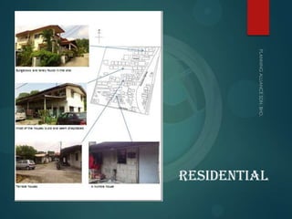
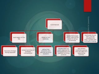
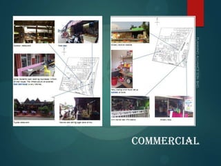
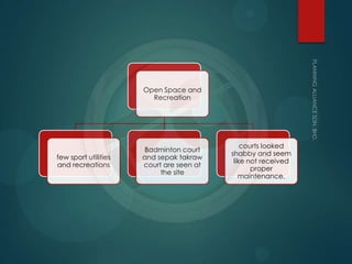
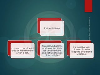
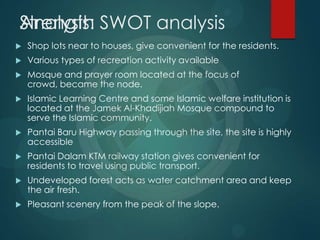
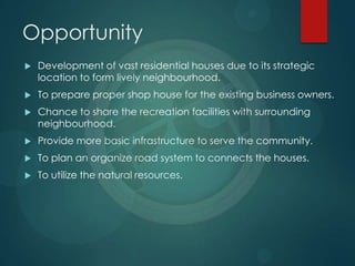
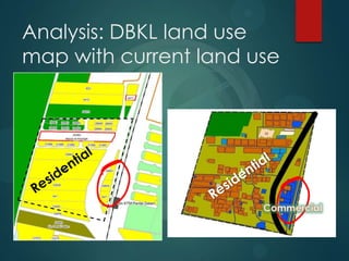
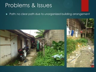

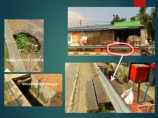
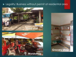
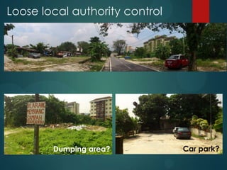

The document analyzes the land use and physical characteristics of a 20-acre squatter area identified for redevelopment. It finds that over 40% of the land is unused incidental area, while the main land uses are residential at 32% and roads at 14%. Issues include an unorganized layout, lack of infrastructure like schools, and unsafe housing structures. The analysis concludes the site is suitable for dense residential development but must address current problems to create a well-planned neighborhood.


