Download as PDF, PPTX
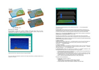
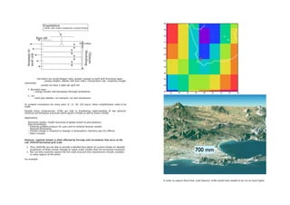


Climate modeling employs general circulation models (GCMs) to simulate the complex interactions within the Earth's climate system, aiming to understand past climates and predict future climate changes. Despite inherent uncertainties and limitations in model resolution and parameterization, GCMs are essential for studying key climate processes and guiding future climate scenarios. Coupled atmosphere-ocean models (AOGCMs) provide advanced simulations, yet often cannot capture fine-scale regional climate variations, prompting the use of downscaling techniques for more localized climate analysis.