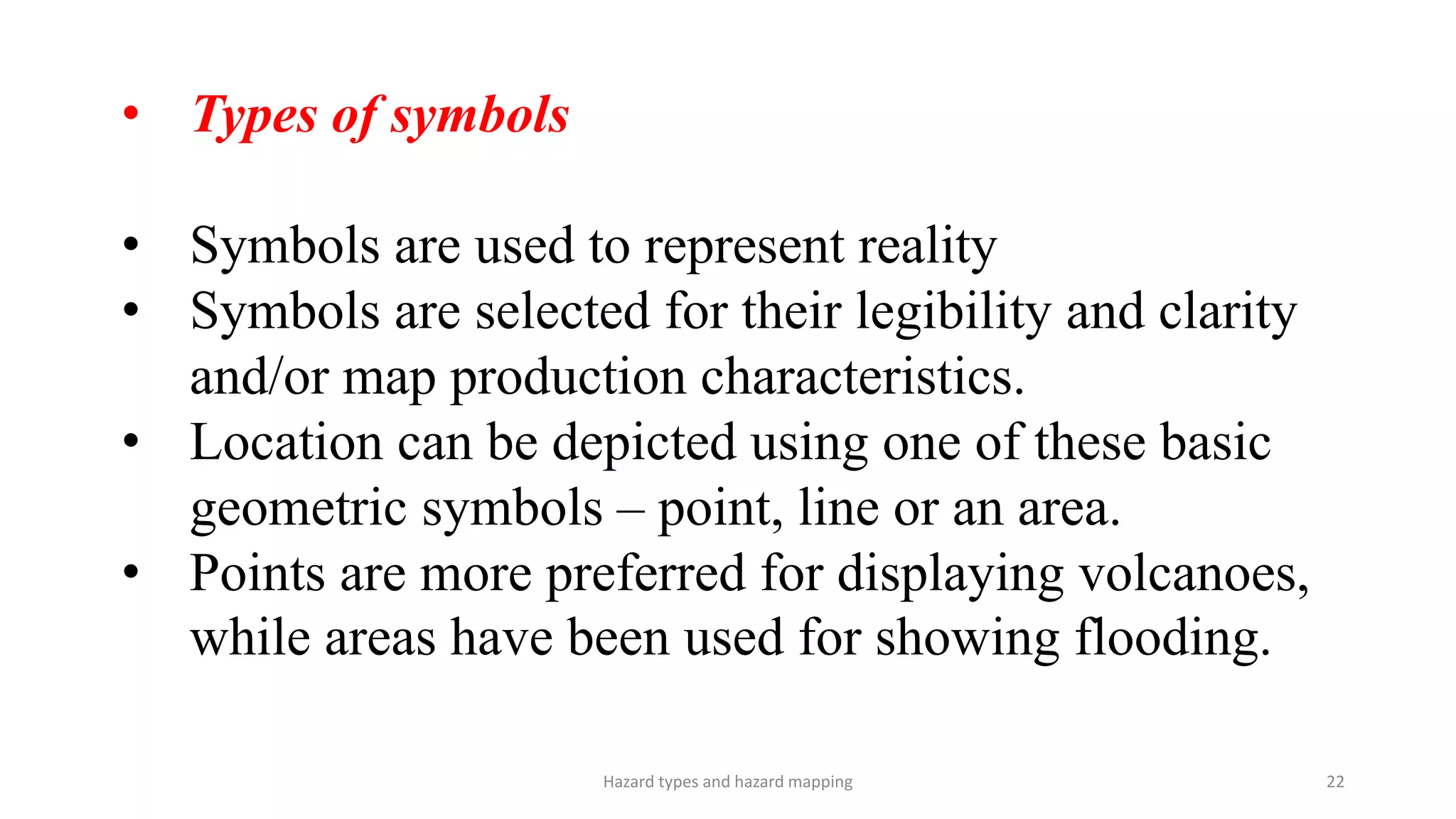
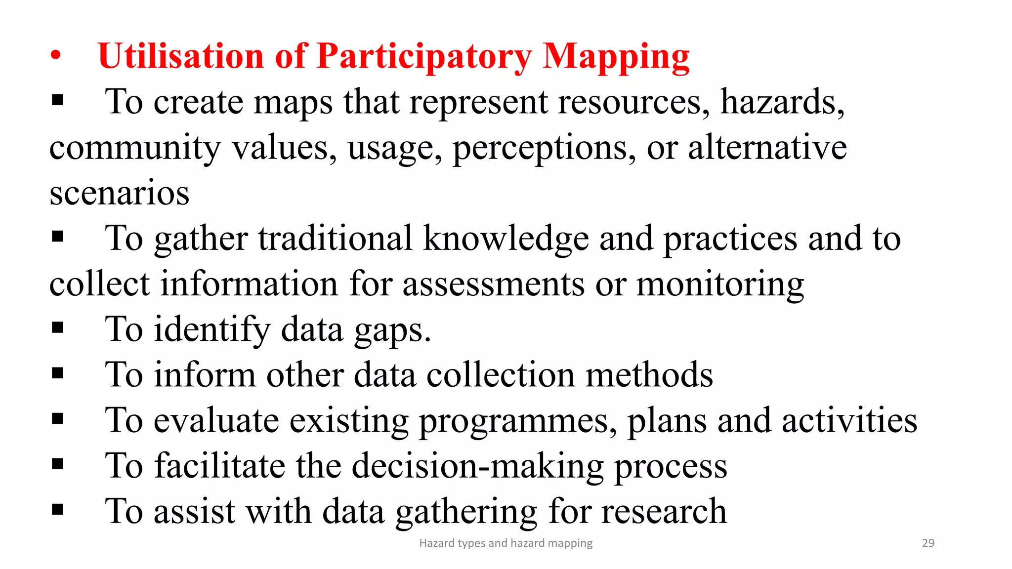
Hazard mapping involves graphically representing the location, magnitude, and characteristics of hazards on maps. There are three main categories of hazards: natural hazards caused by uncontrollable forces like floods and earthquakes, human-induced hazards caused by human activities like pollution, and technological hazards caused by infrastructure failures or accidents like dam failures or industrial explosions. Effective hazard maps require data on the spatial and temporal aspects of hazards obtained from sources like remote sensing images, field data, and base maps. These maps are used for spatial planning, risk reduction measures, emergency planning, and raising public awareness about hazards.