
Download to read offline
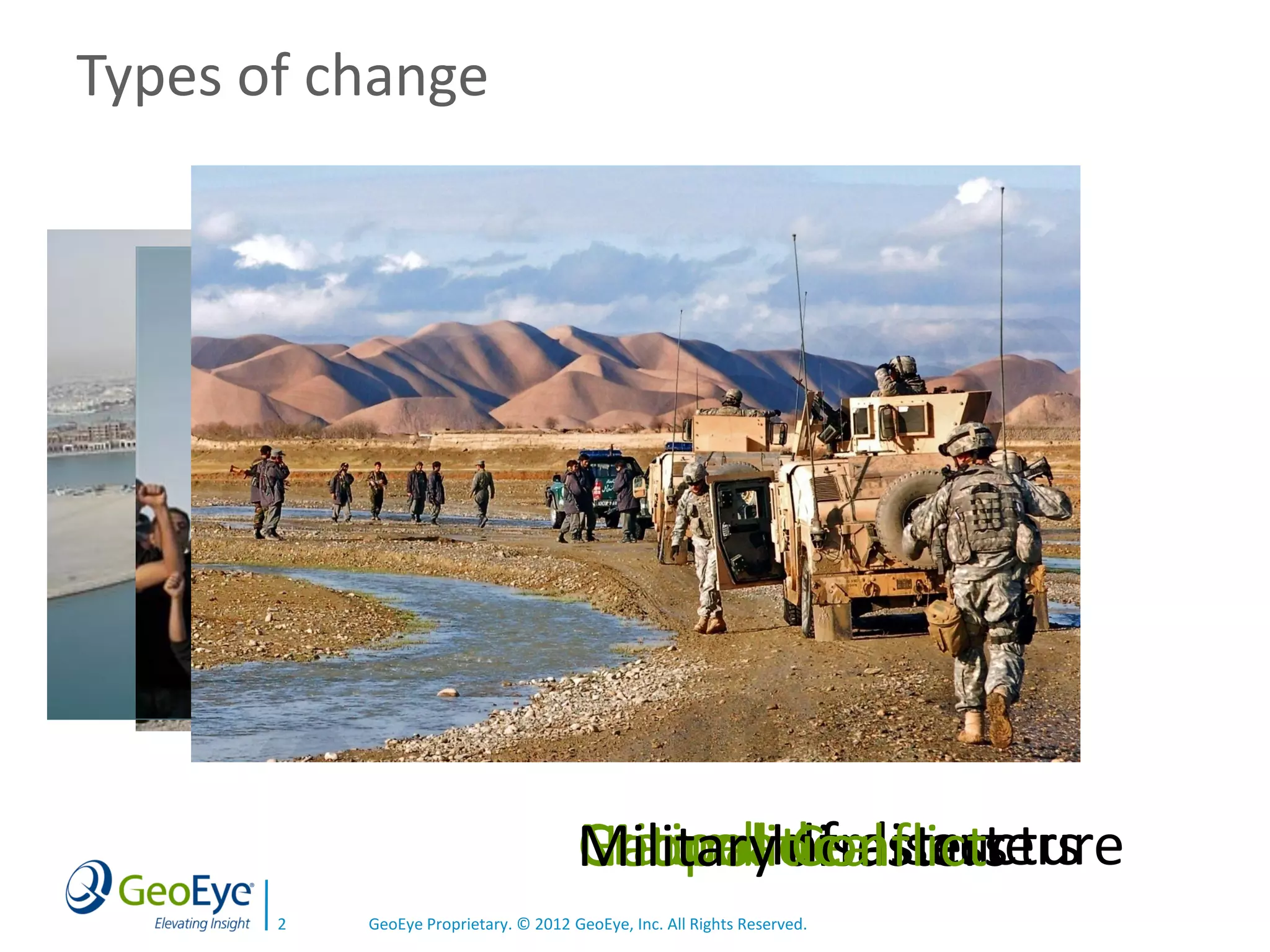
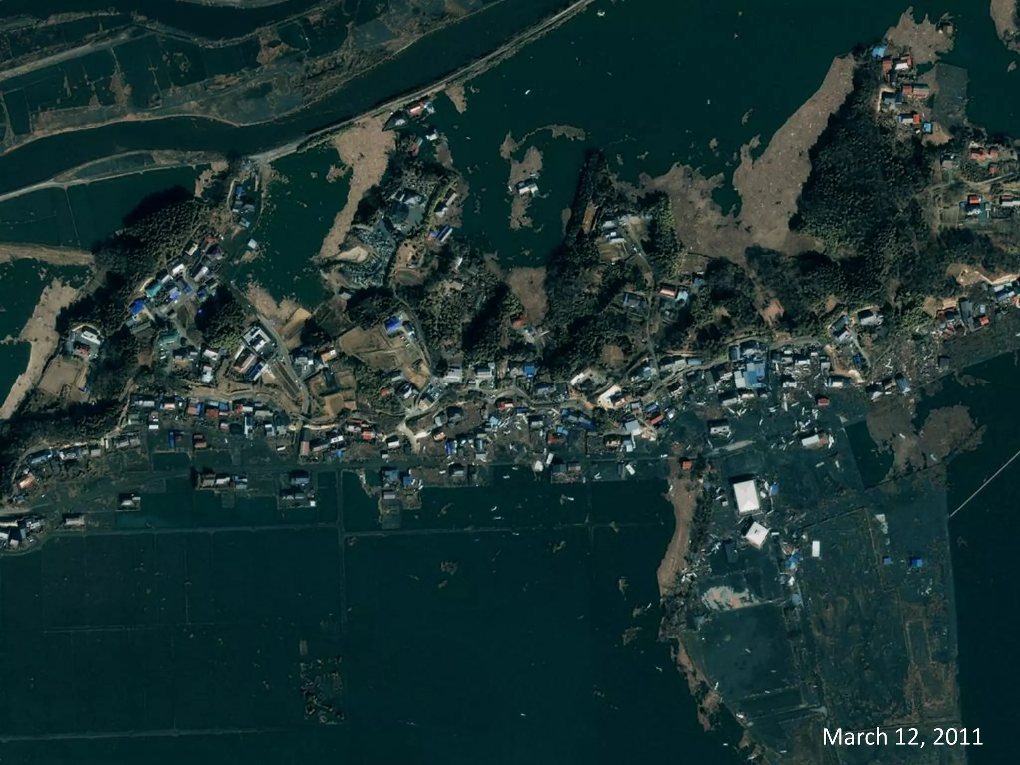
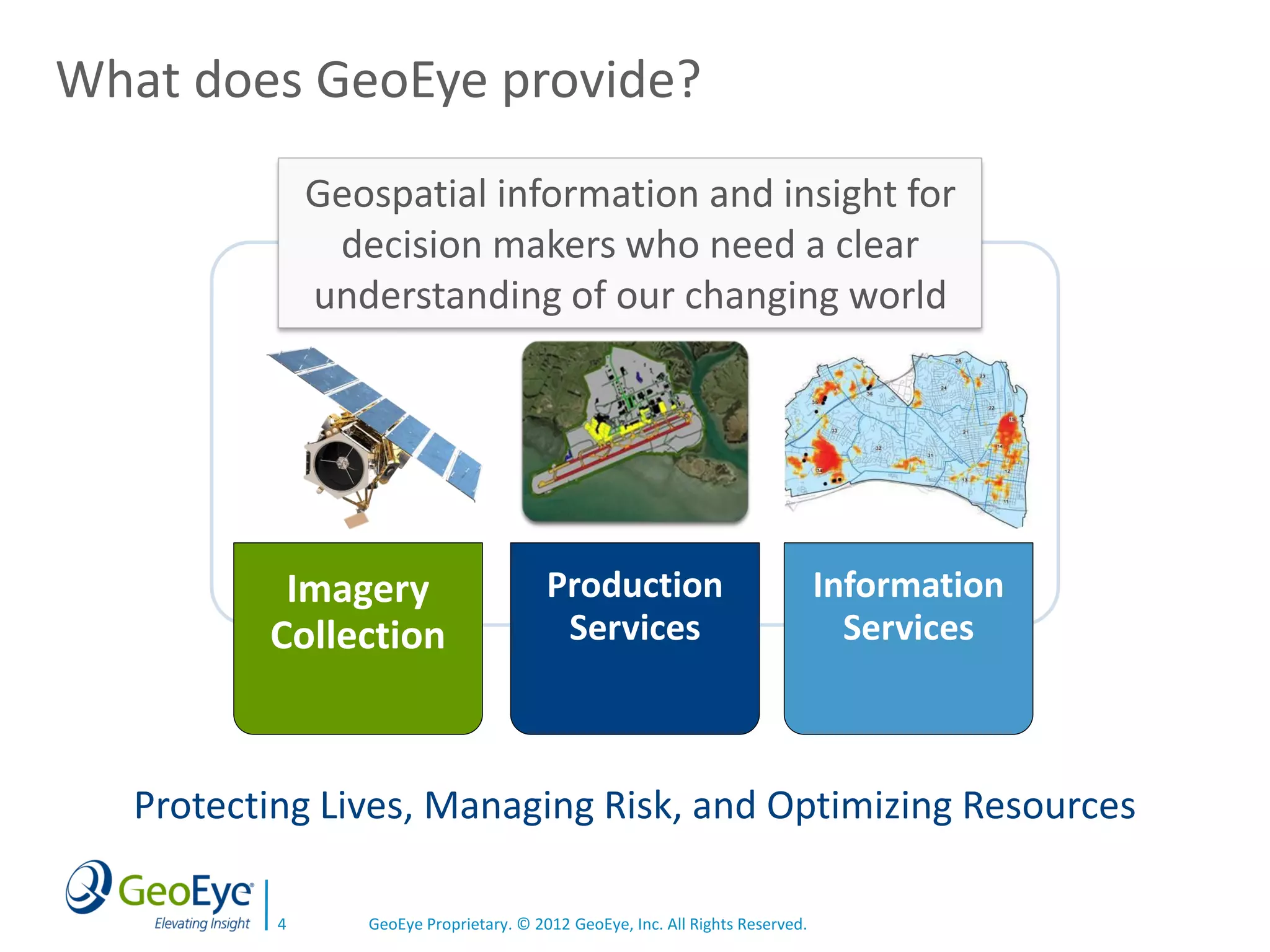
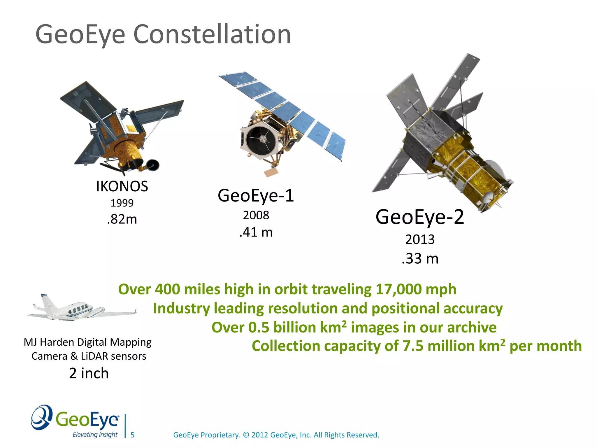
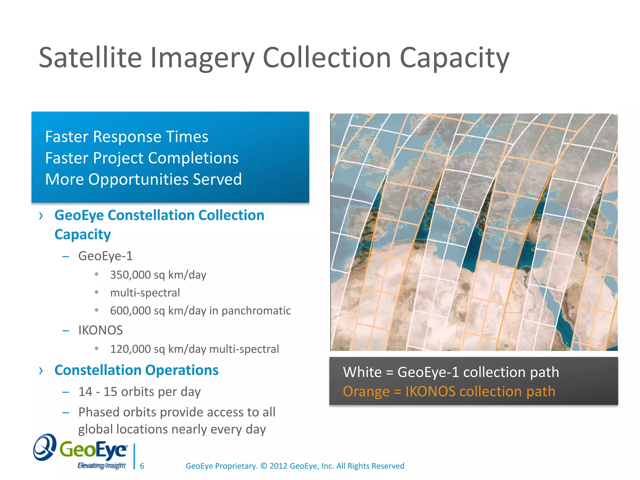
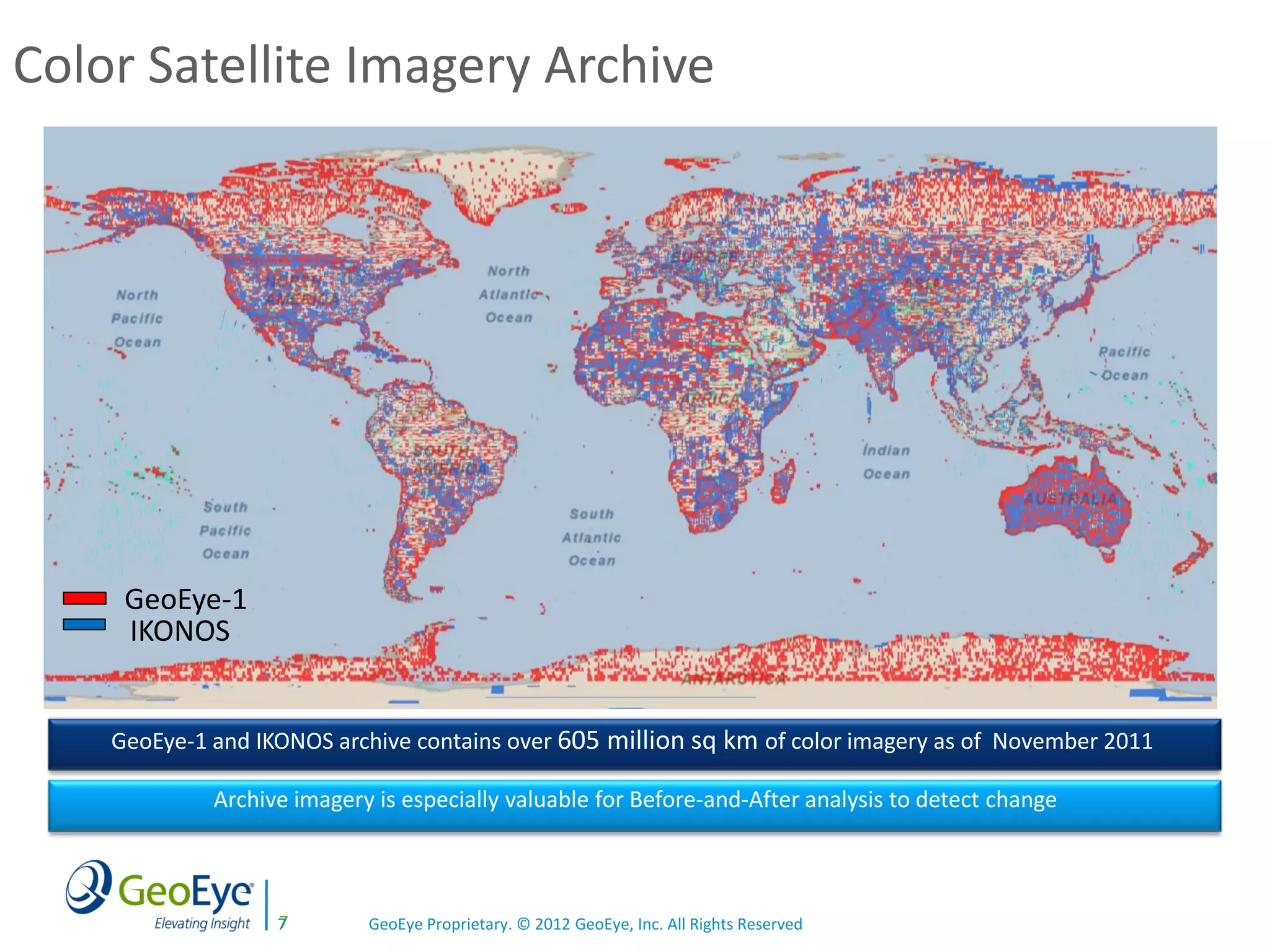

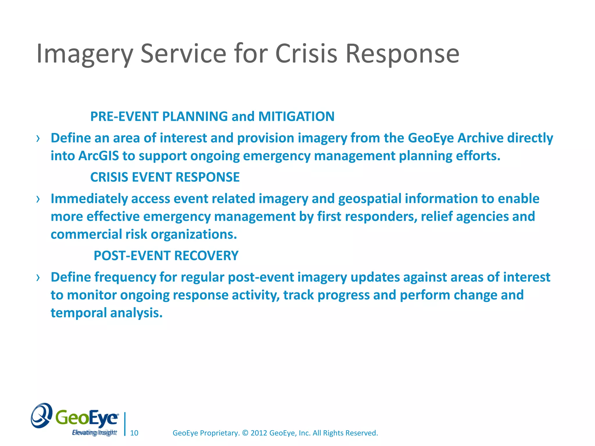
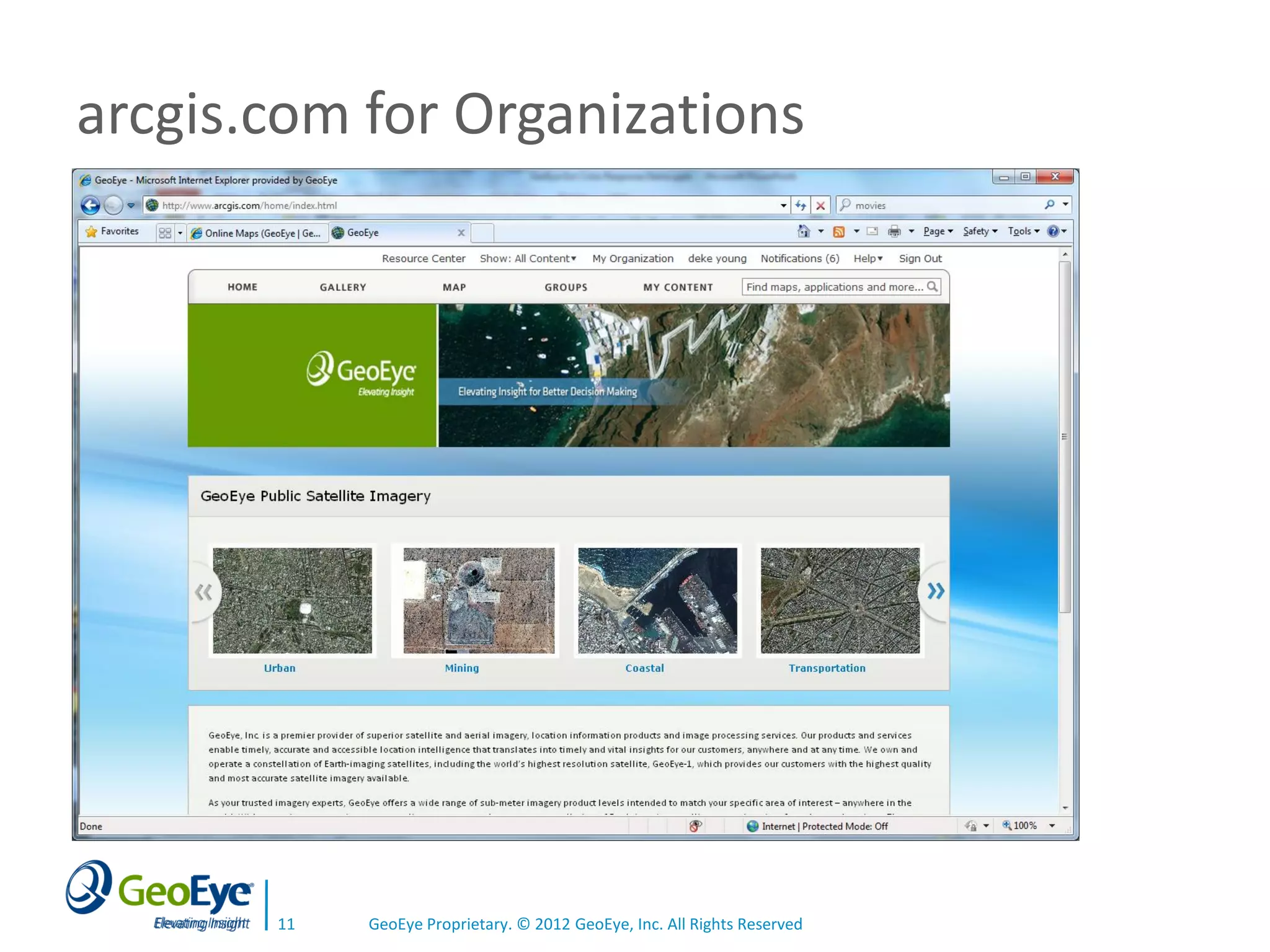
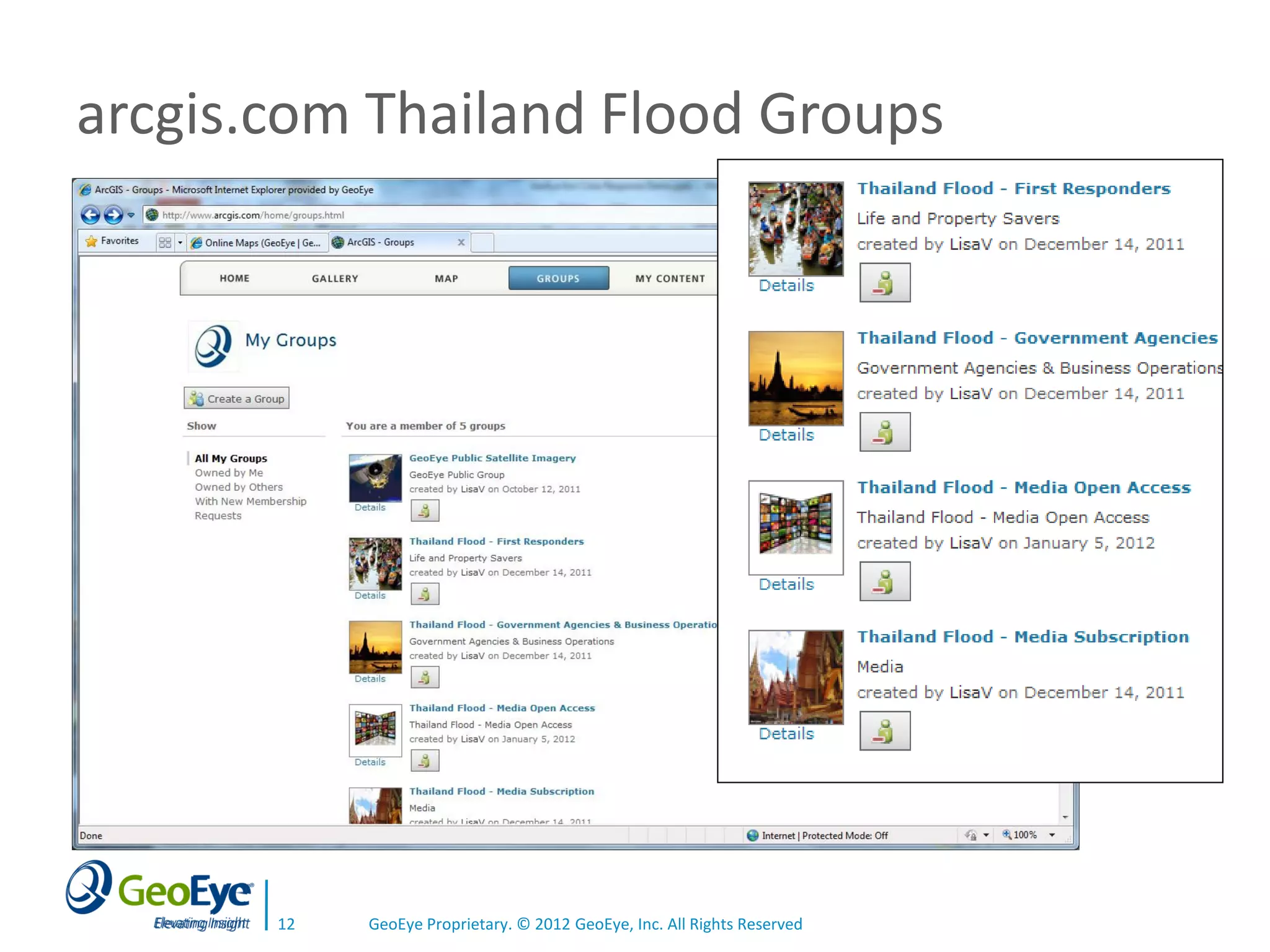
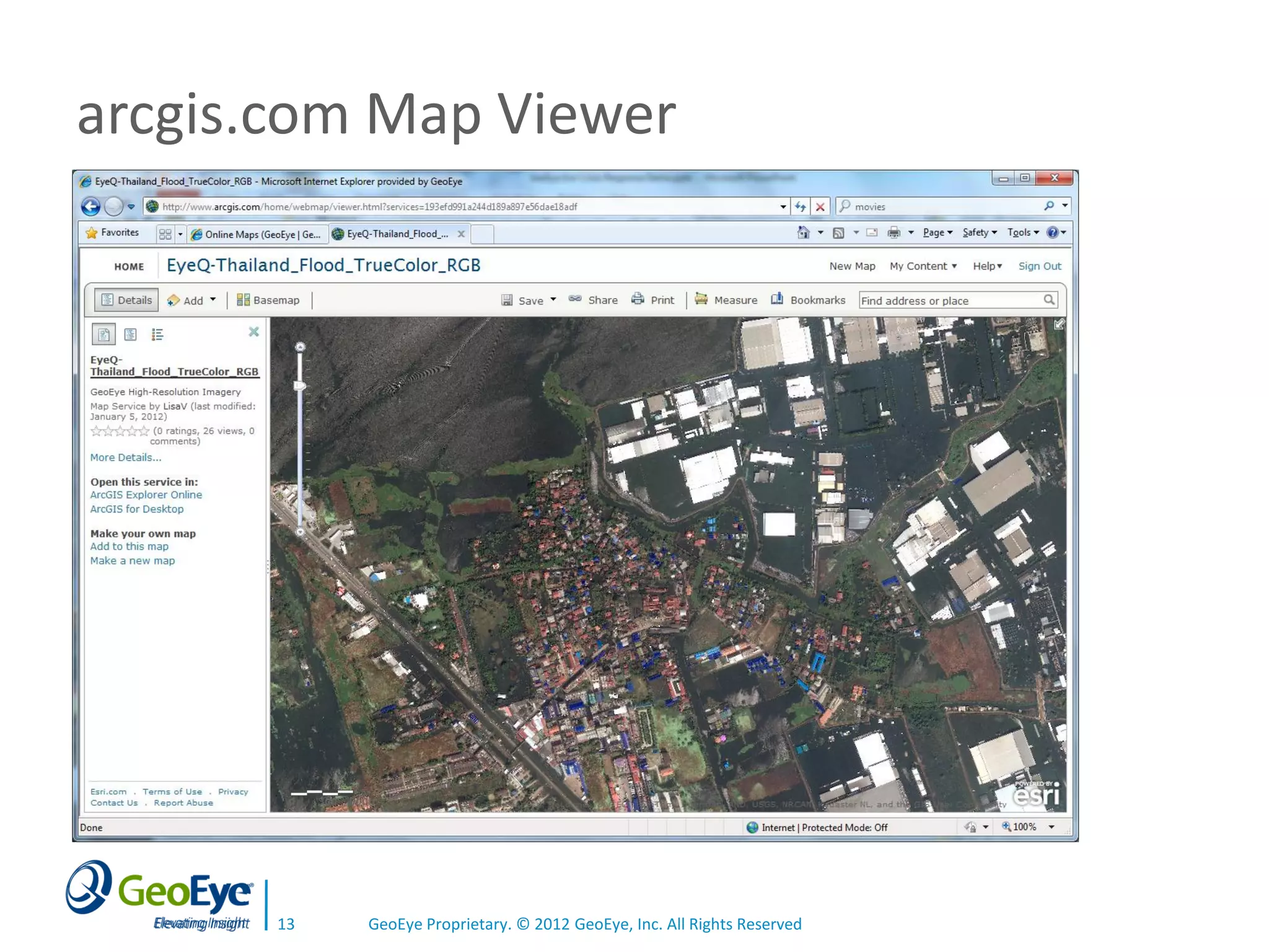
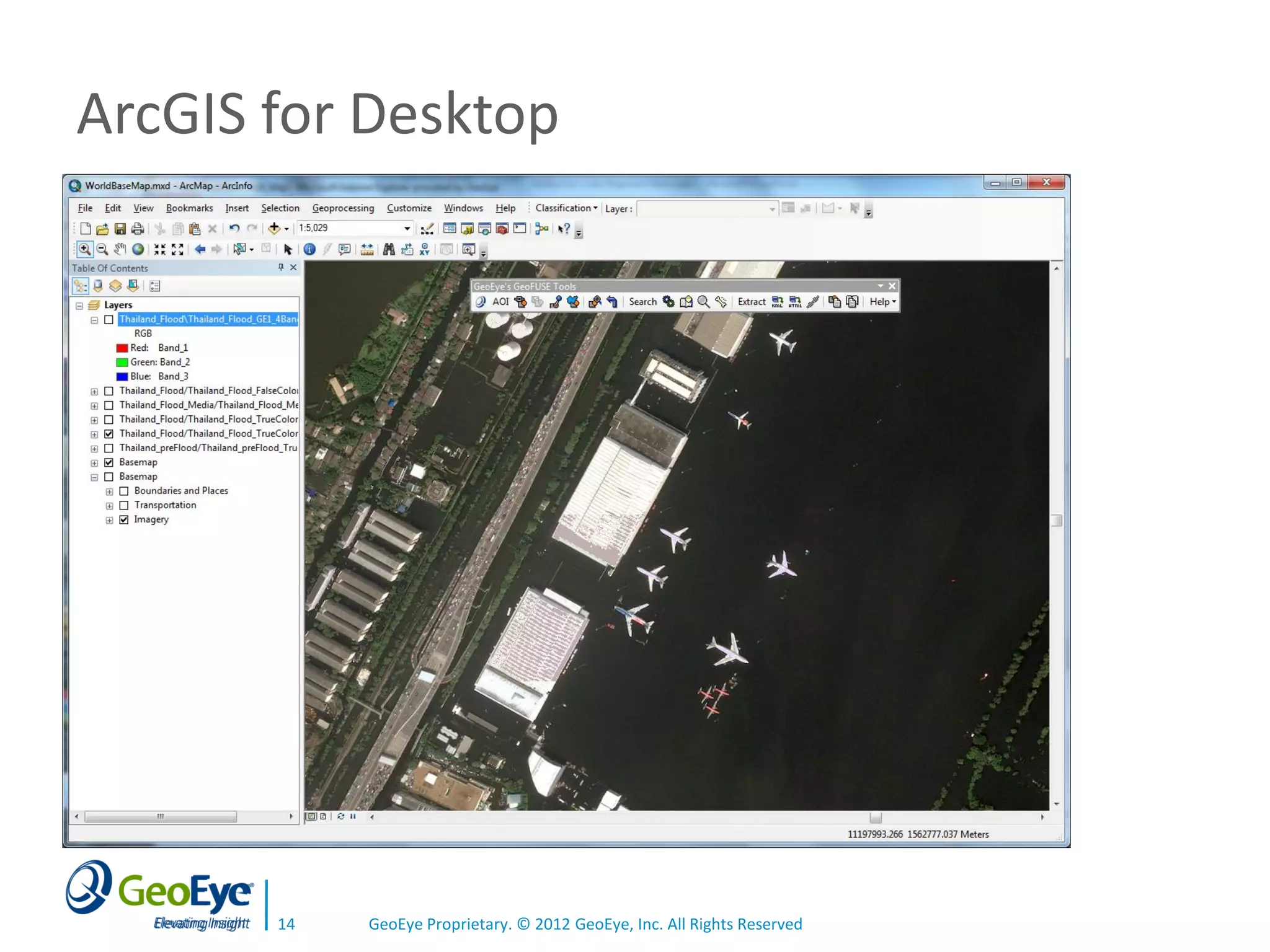
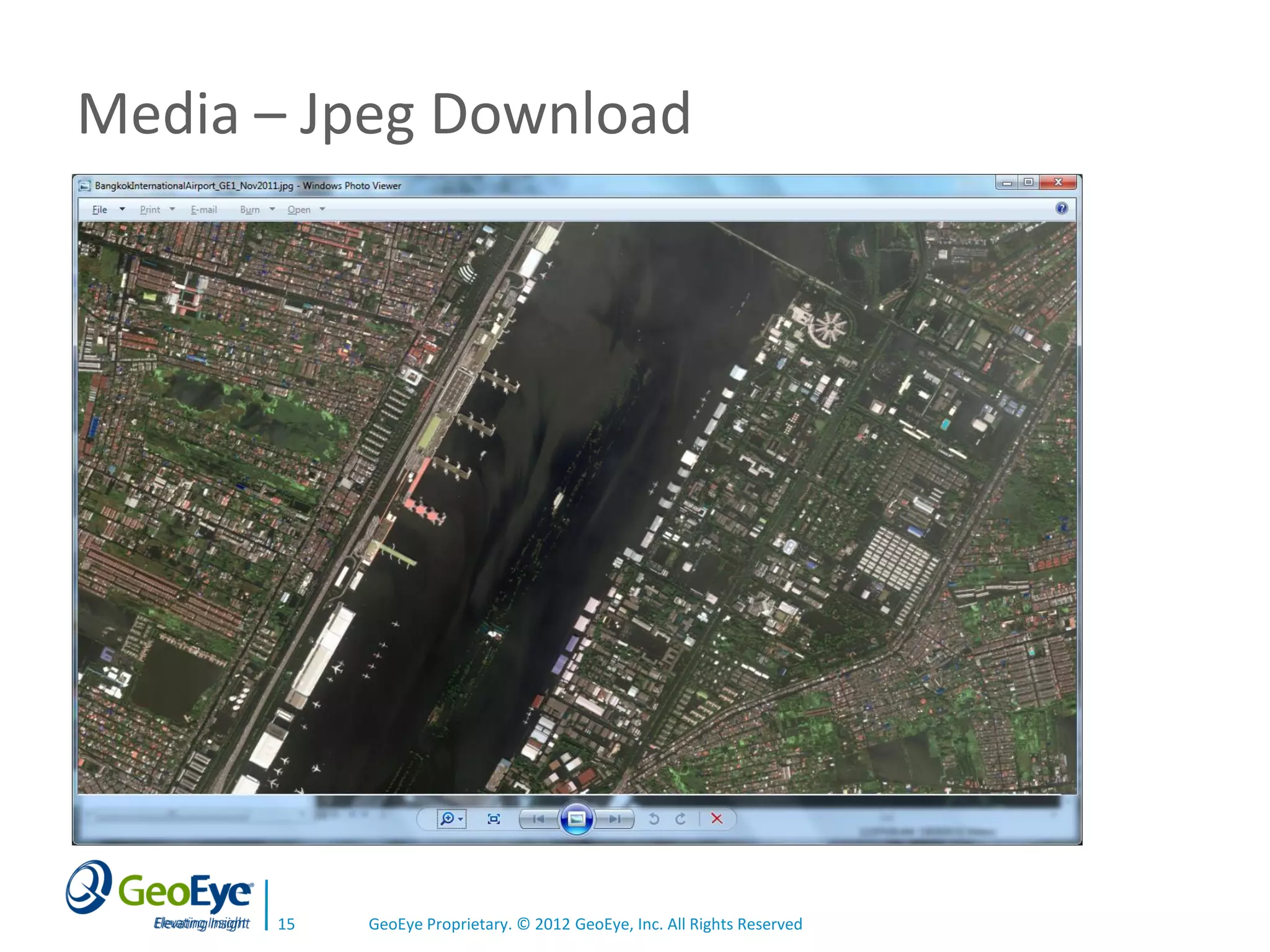
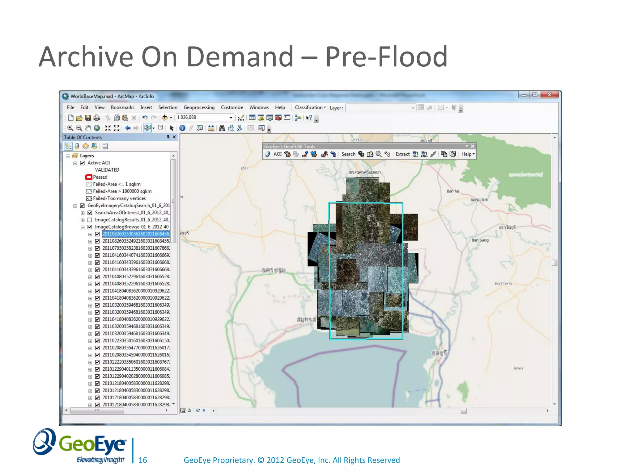
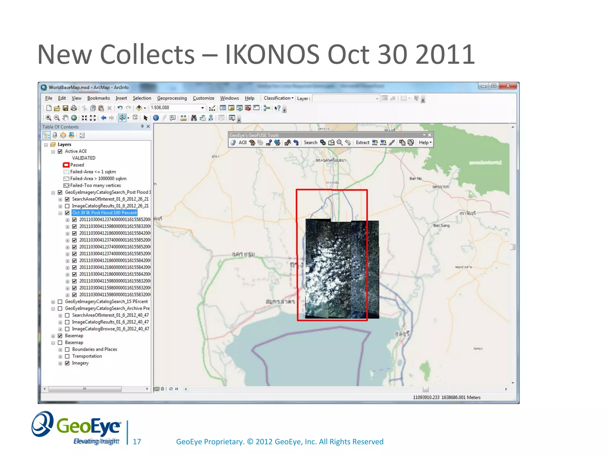
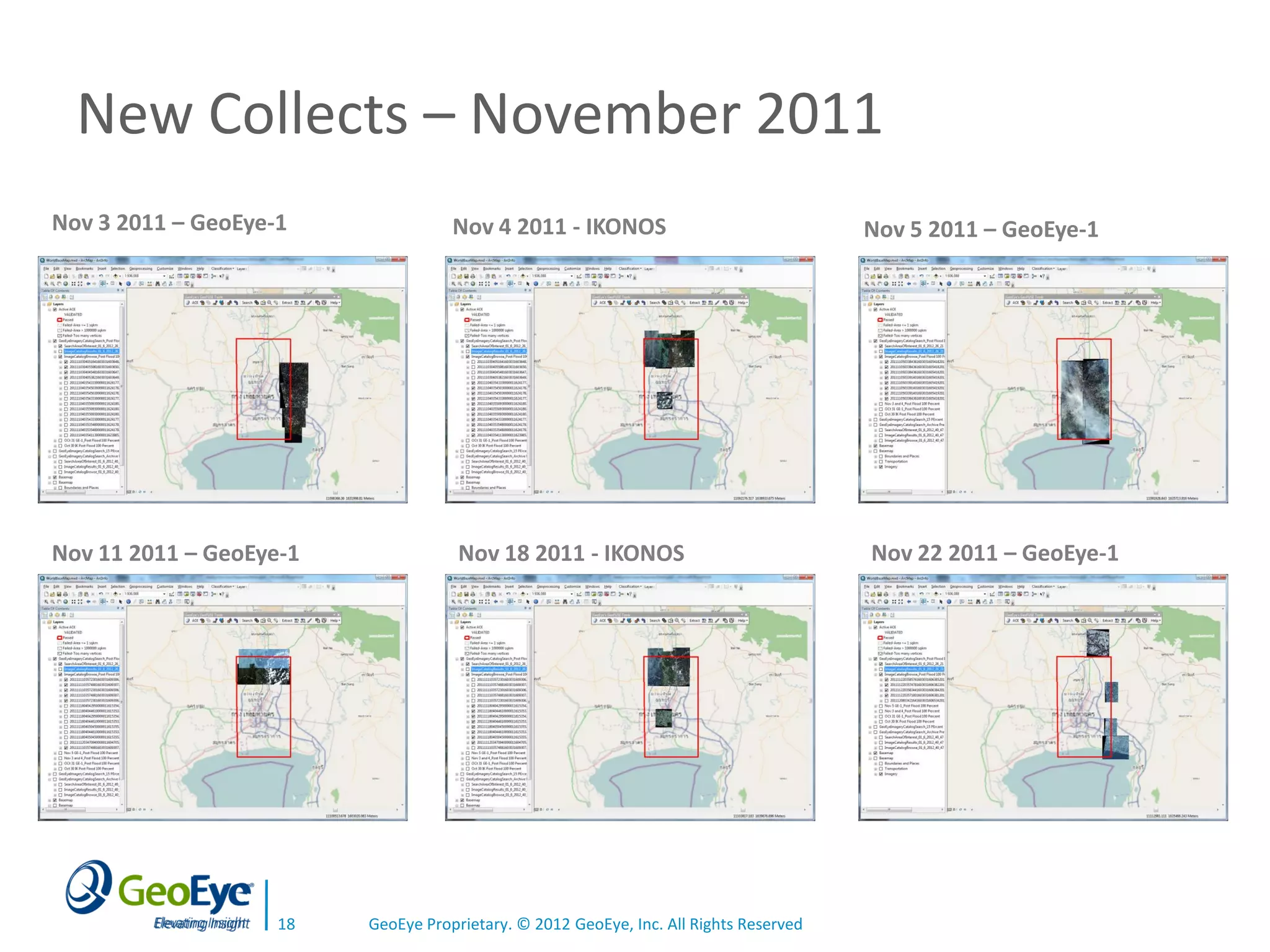
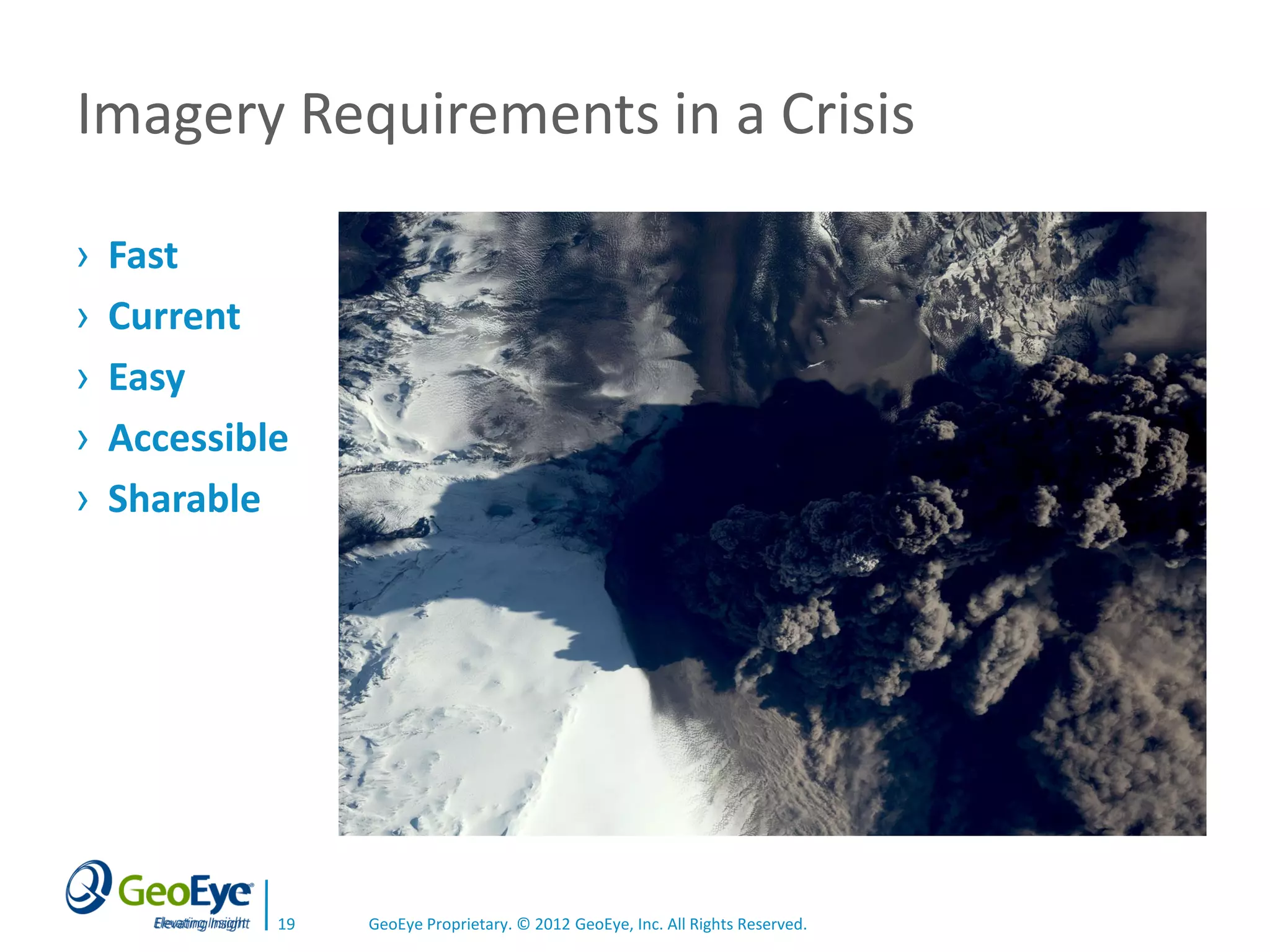

The document discusses how satellite imagery can support crisis response efforts by providing the right data at the right time to the right users. It outlines GeoEye's capabilities to collect and archive imagery that can then be easily accessed and shared through ArcGIS online mapping tools to support emergency planning, response, and recovery from natural disasters and other crises. Key requirements for imagery during crises are that it be fast, current, easy to access and share.


![Coded Agents – with UiPath SDK + LangGraph [Virtual Hands-on Workshop]](https://cdn.slidesharecdn.com/ss_thumbnails/codedagentsdeck-251215155422-5497c599-thumbnail.jpg?width=640&height=640&fit=bounds)

![Vibe Coding vs. Spec-Driven Development [Free Meetup]](https://cdn.slidesharecdn.com/ss_thumbnails/vibecodingvsspecdrivendevelopment-251209105622-43f455e7-thumbnail.jpg?width=640&height=640&fit=bounds)


