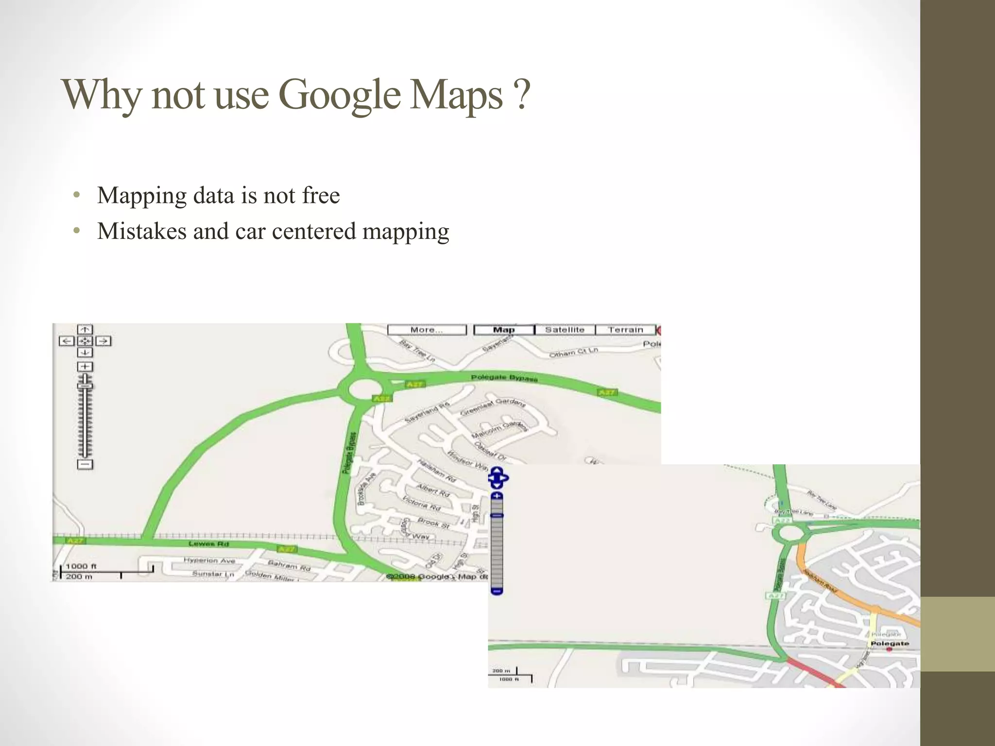
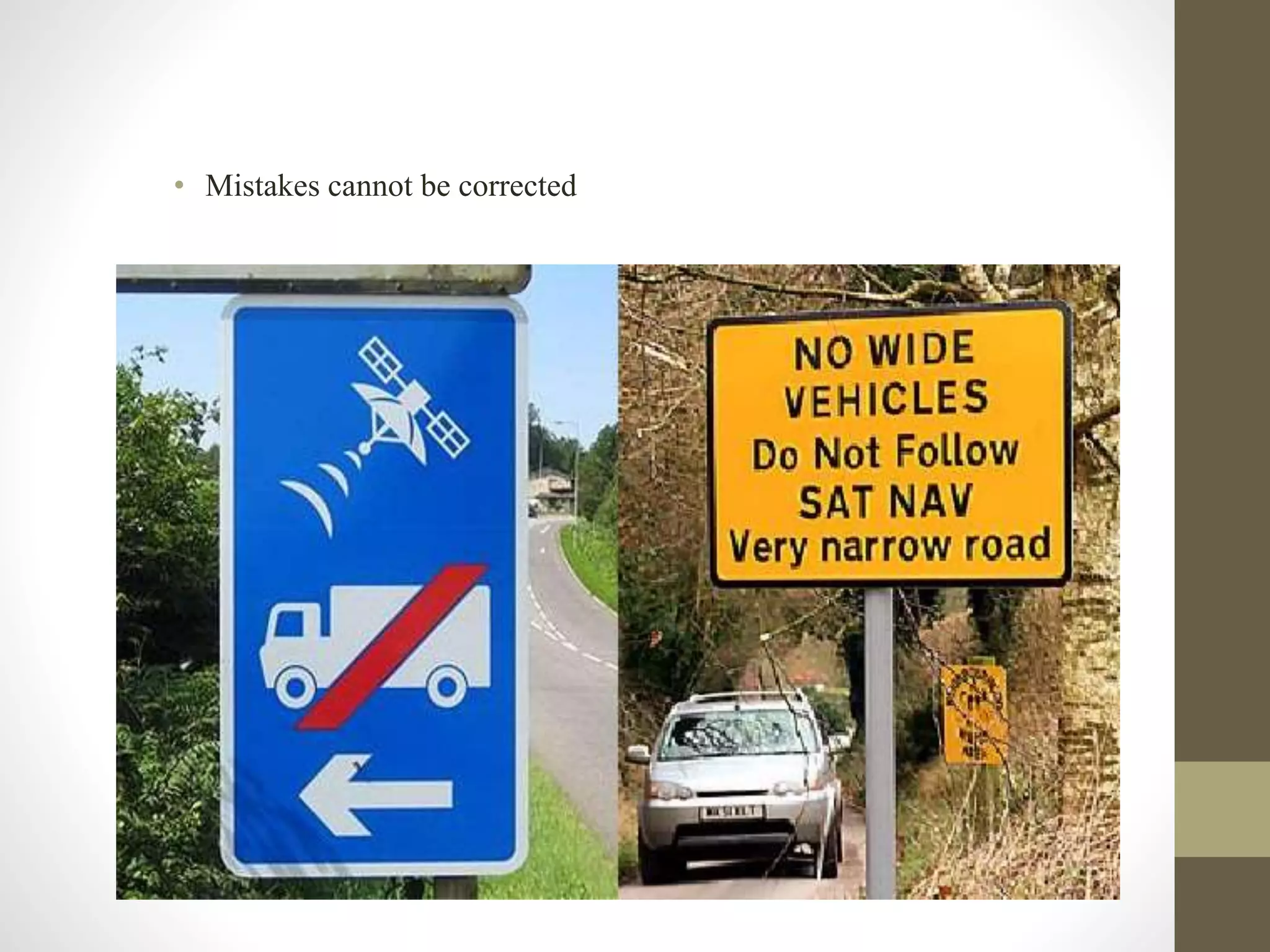
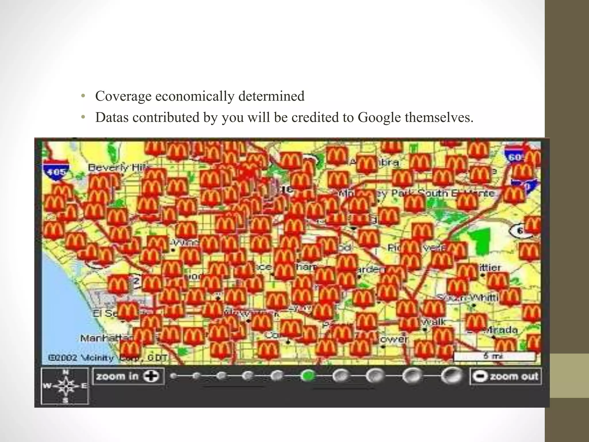
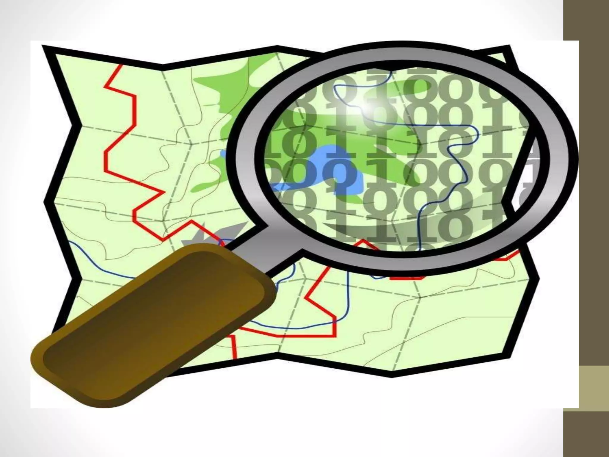
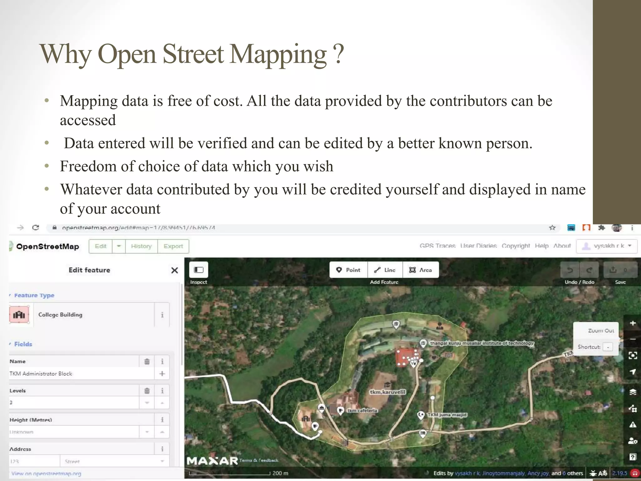
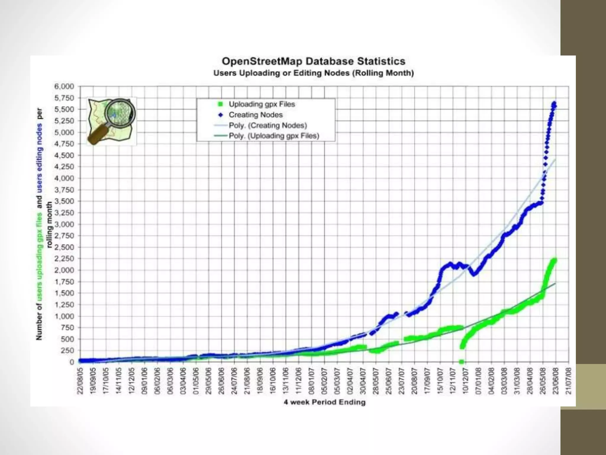
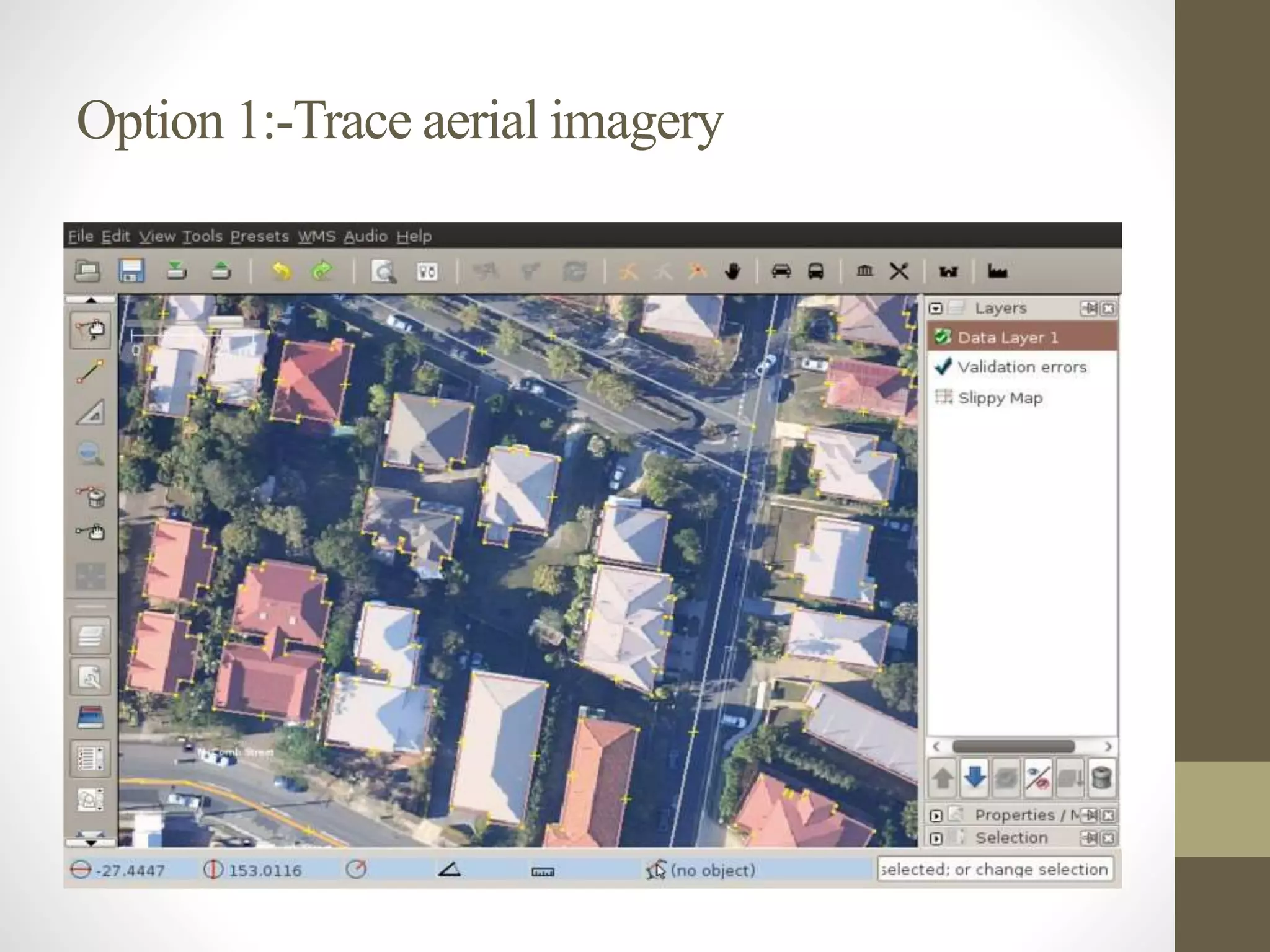
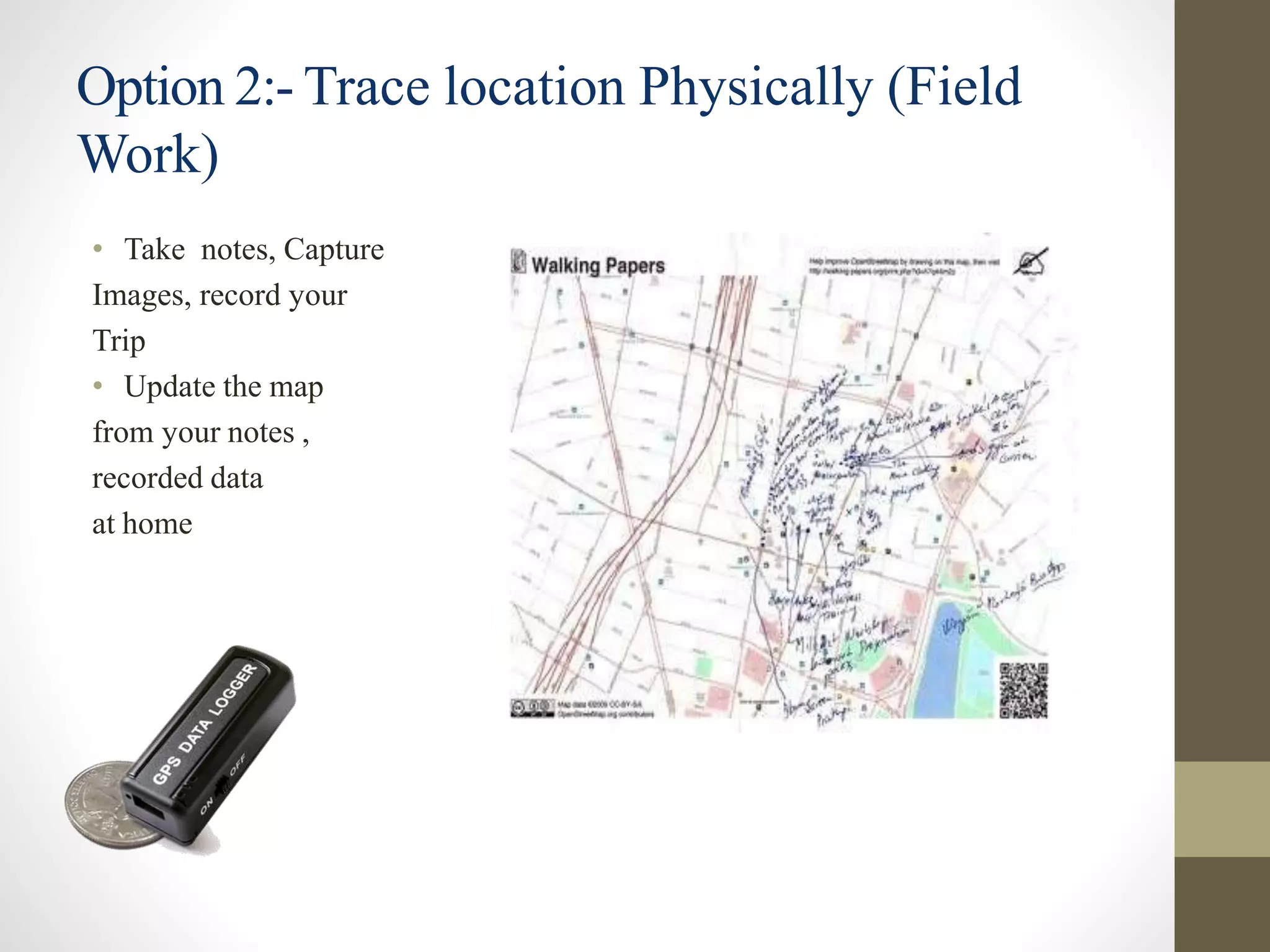
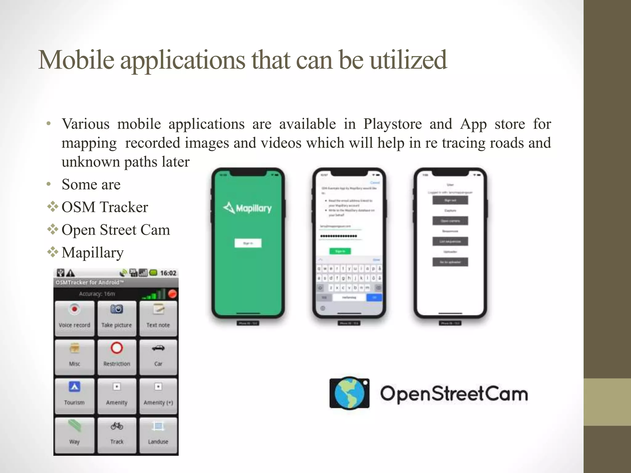
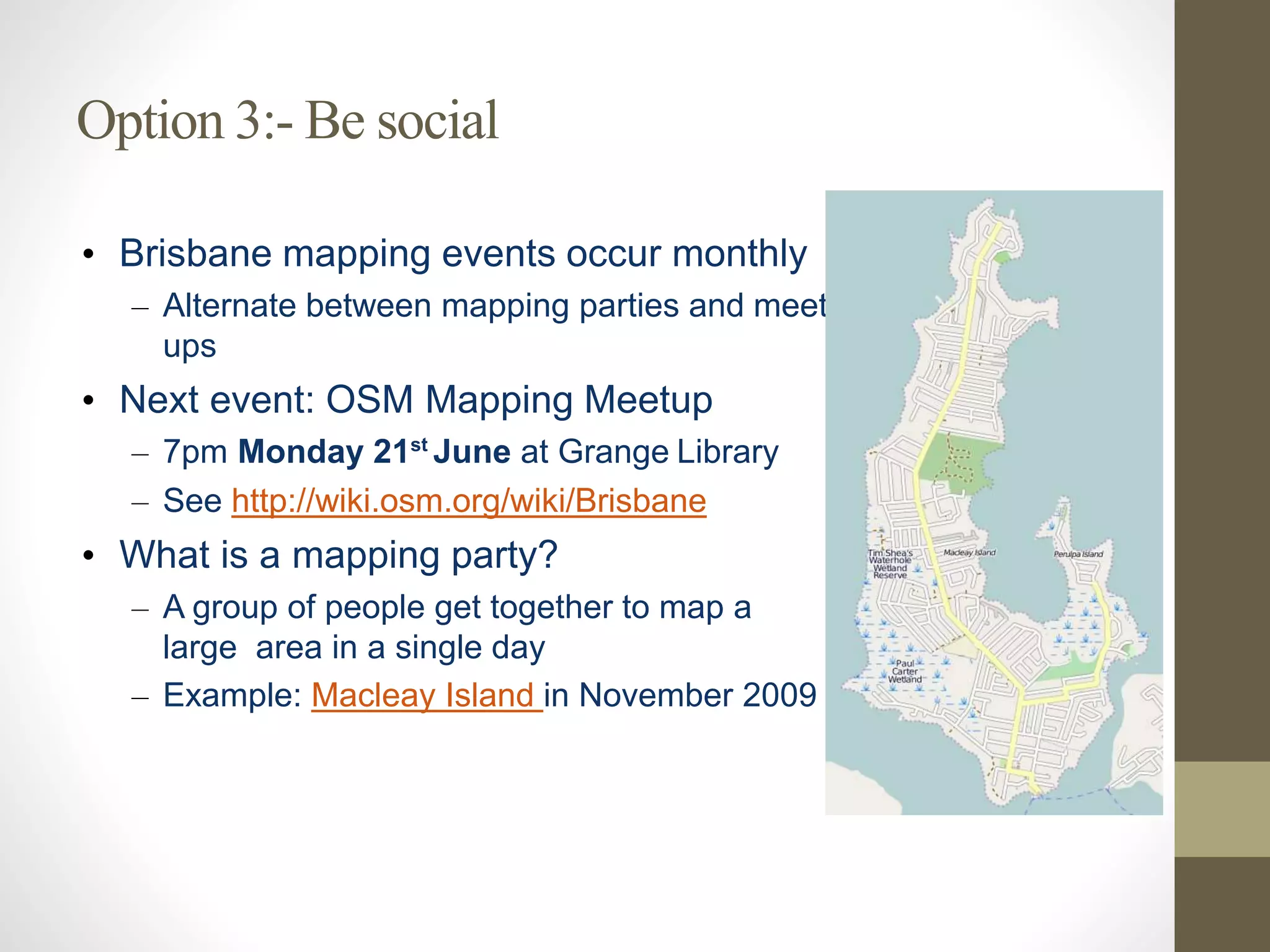
OpenStreetMap (OSM) is a collaborative project that creates a free, editable map of the world, allowing volunteers to contribute geodata for humanitarian efforts in crisis areas. Unlike Google Maps, OSM offers free mapping data that can be corrected and attributed to contributors, fostering a community-driven approach to mapping. Volunteers can start mapping by creating an account and utilizing tools for aerial imagery tracing, fieldwork, and participating in social mapping events.


![Coded Agents – with UiPath SDK + LangGraph [Virtual Hands-on Workshop]](https://cdn.slidesharecdn.com/ss_thumbnails/codedagentsdeck-251215155422-5497c599-thumbnail.jpg?width=640&height=640&fit=bounds)


