Downloaded 1,006 times

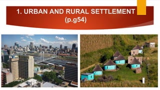
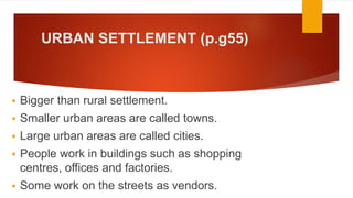
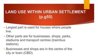
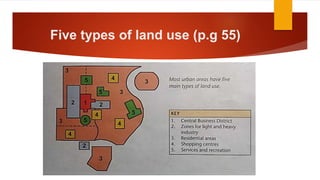
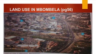
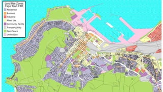


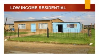
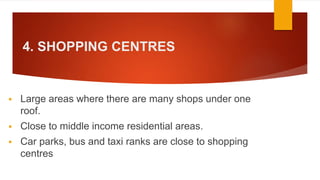
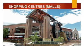
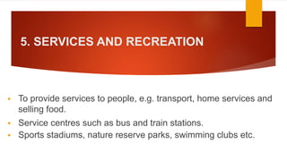
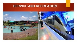

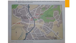
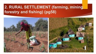
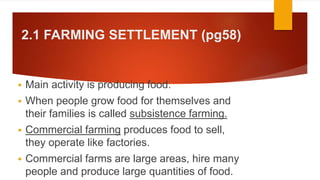
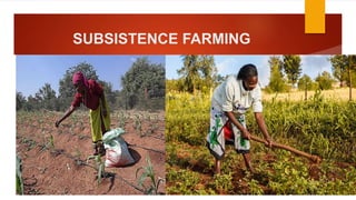

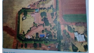

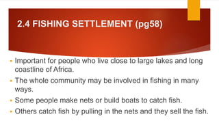

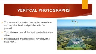
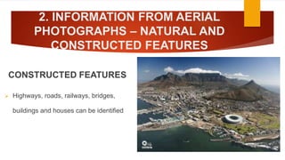
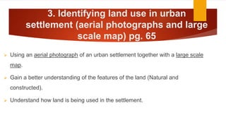
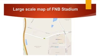
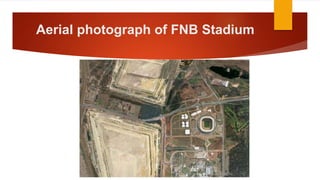

The document discusses urban and rural settlements, highlighting their characteristics, land use types, and various activities such as farming, mining, and fishing. It details the central business district, residential areas, shopping centers, and services in urban settings, while also explaining subsistence and commercial farming in rural contexts. Additionally, it covers the importance of aerial photographs and large-scale maps for understanding land use and features in both urban and rural environments.


