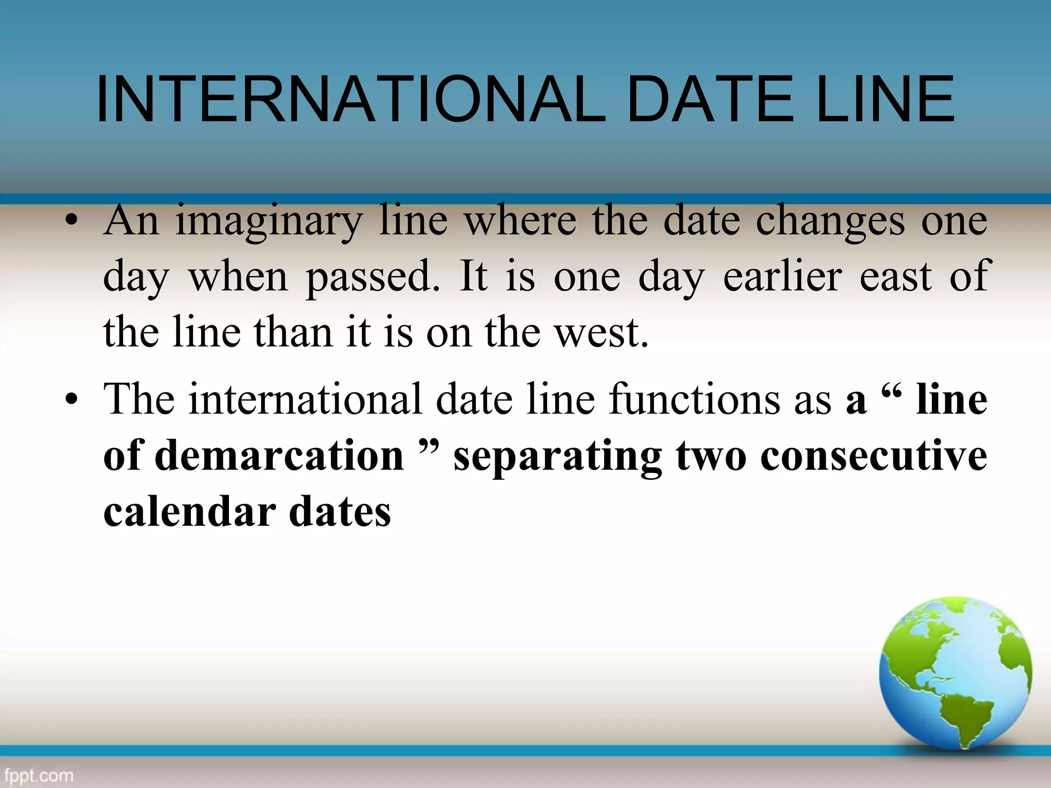
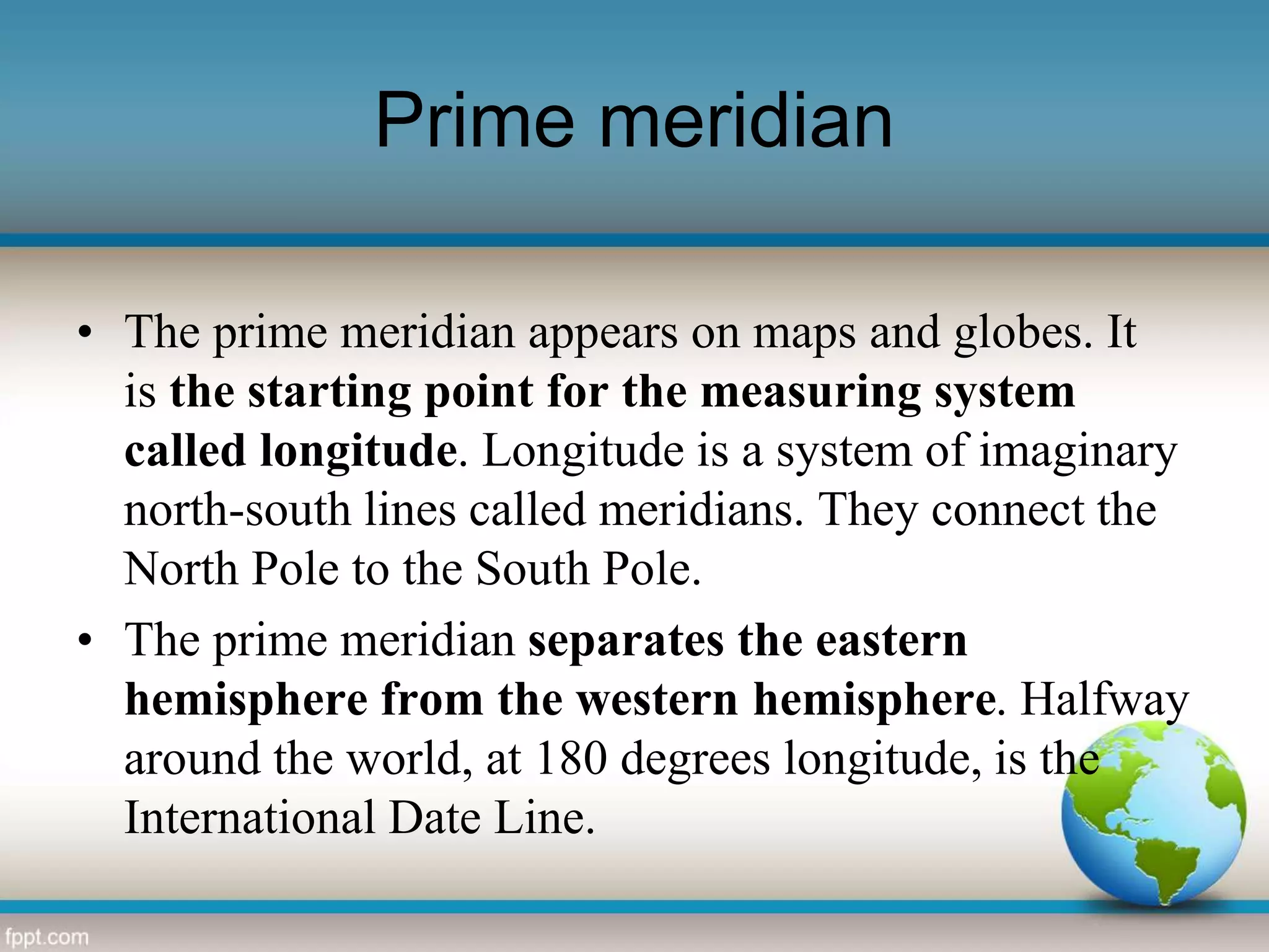
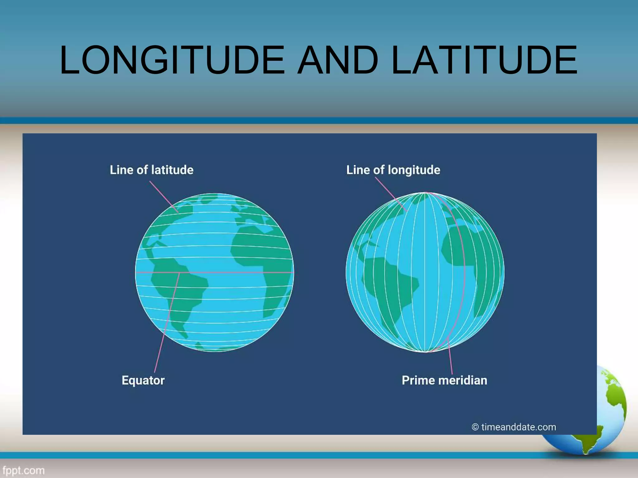
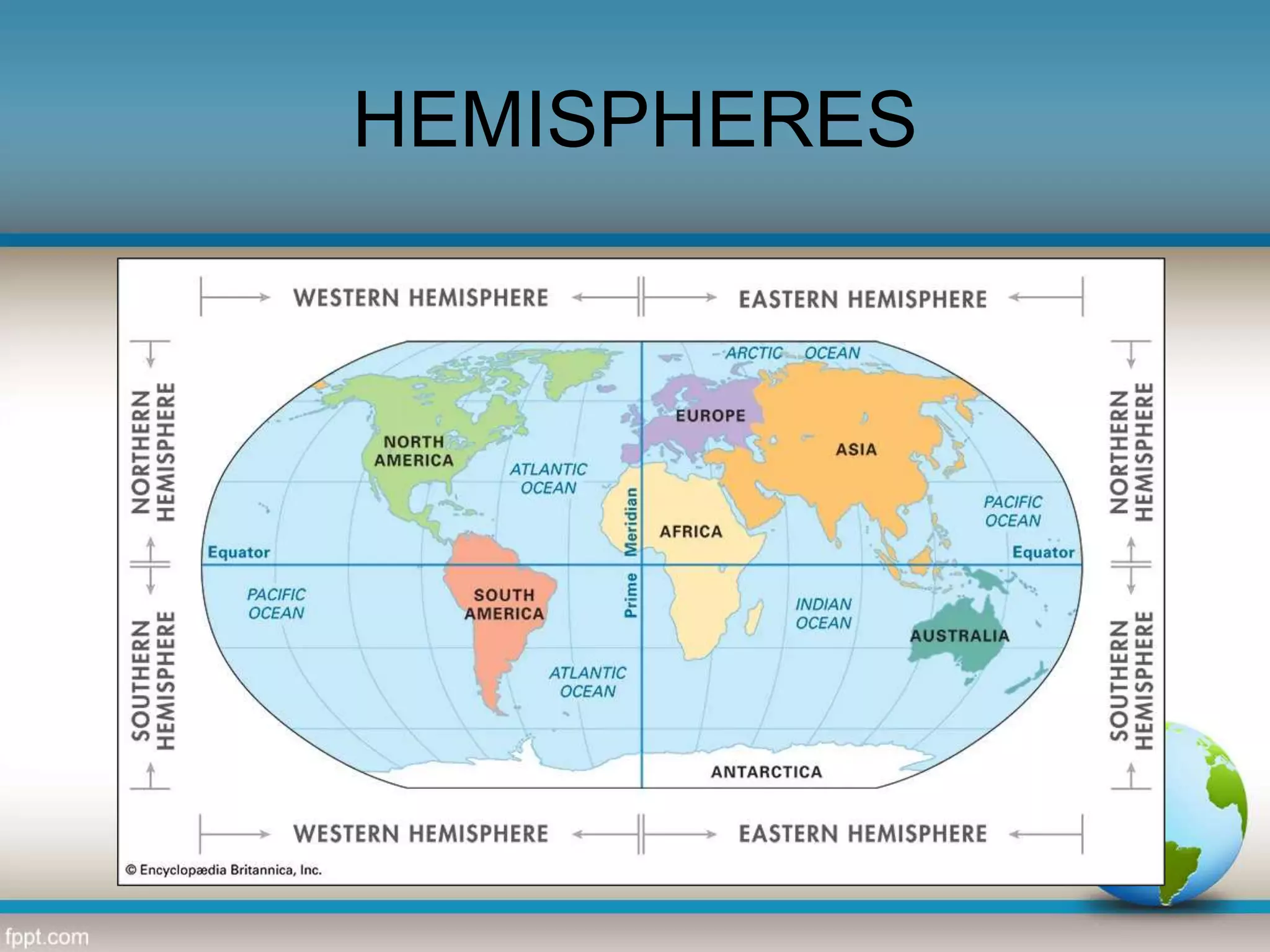
The document discusses different types of lines that appear on maps, including circles of latitude like the Arctic and Antarctic Circles, as well as the Equator, Tropics of Cancer and Capricorn, and hemispheres. These lines serve purposes like marking regions, dividing the globe into sections, and aiding navigation. Key points covered include the definition and purpose of lines like the DEW radar line, prime meridian, and International Date Line, as well as how latitude and longitude are used to locate places on a map.


![Latitudes and Longitudes [Autosaved].pptx](https://cdn.slidesharecdn.com/ss_thumbnails/latitudesandlongitudesautosaved-221031193426-8f2f0591-thumbnail.jpg?width=640&height=640&fit=bounds)


