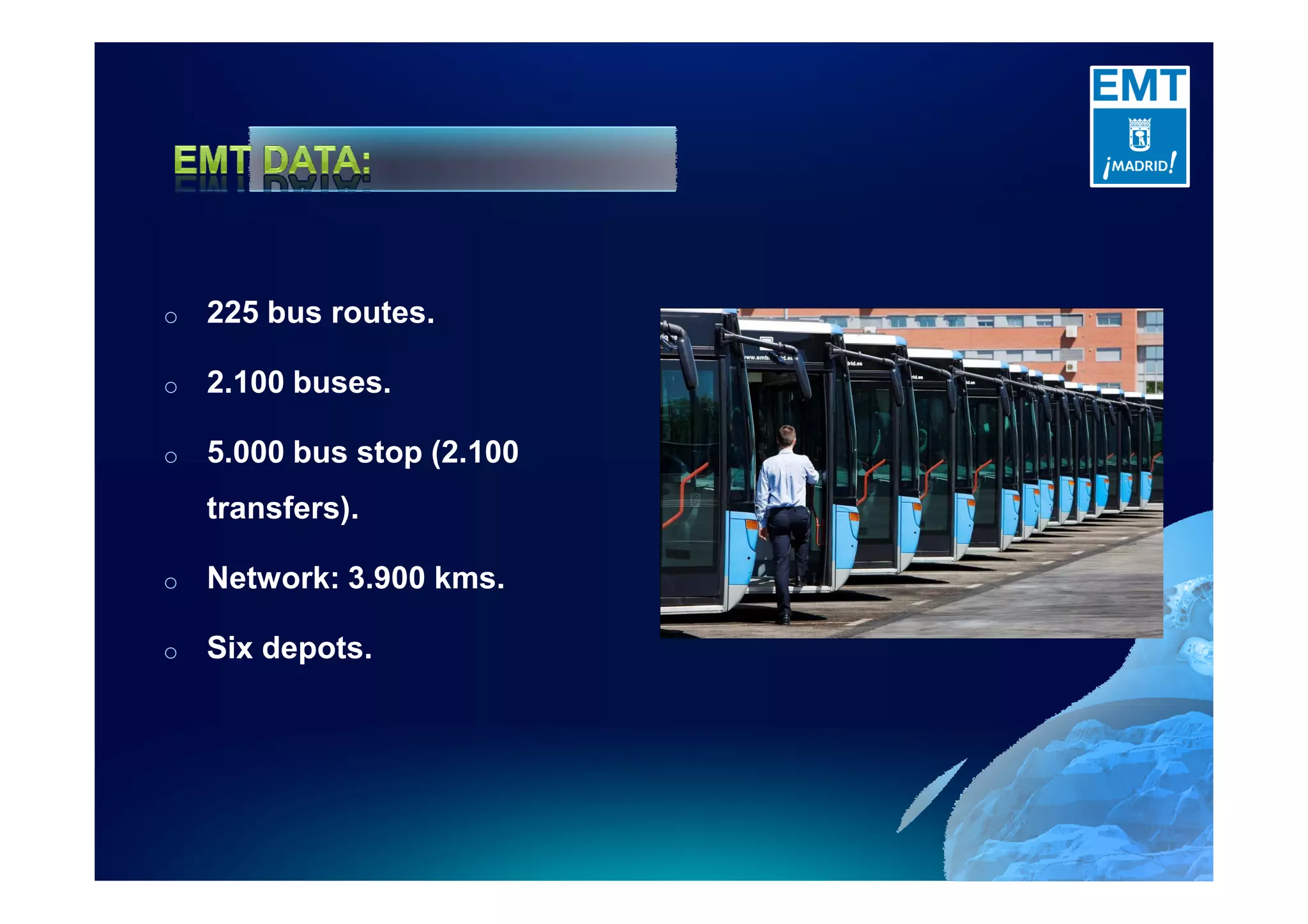
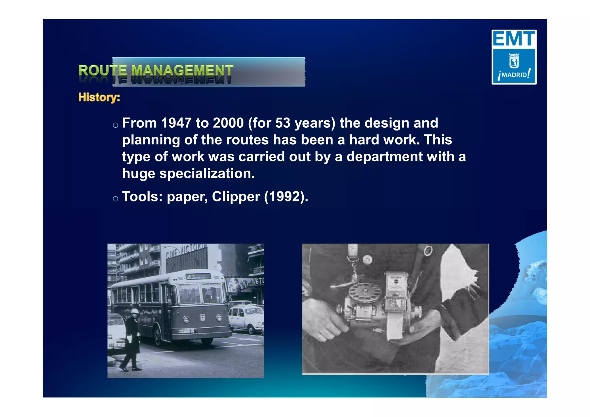
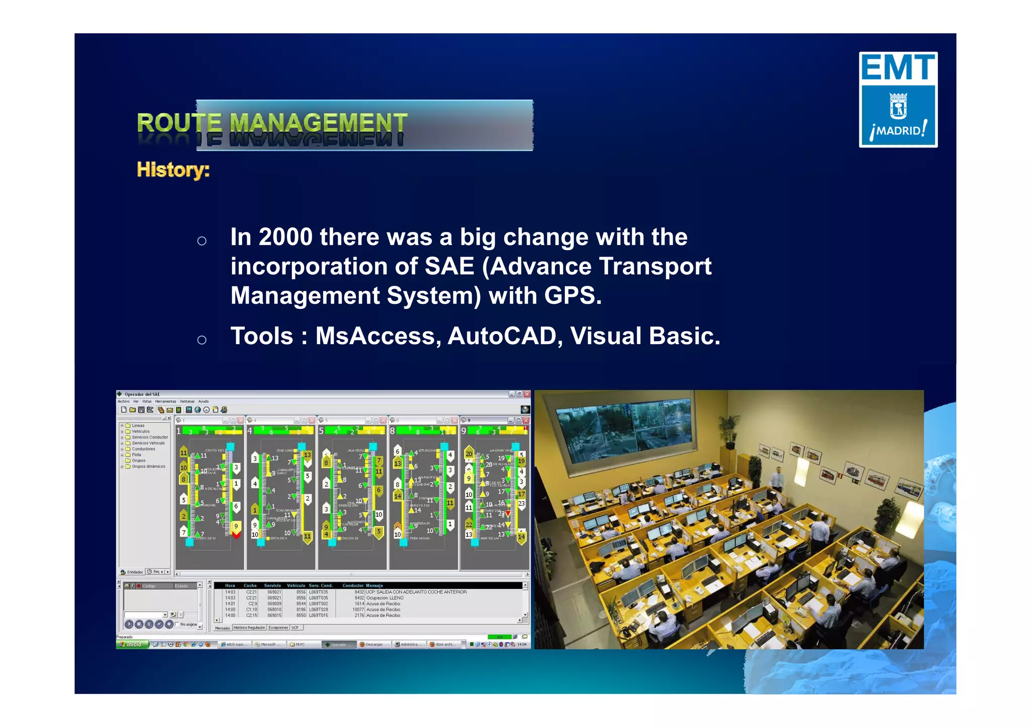
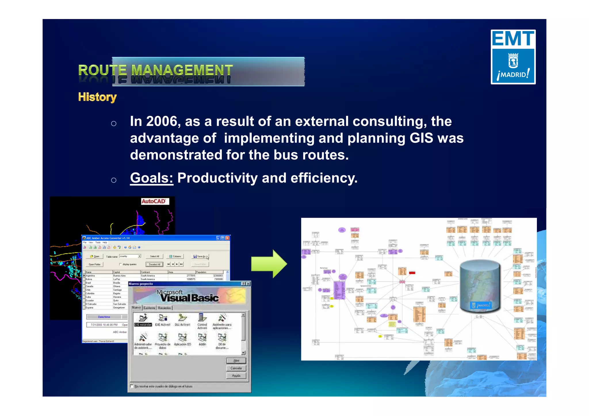
Welcome #EUC11
o   225 bus routes.

o   2.100 buses.

o   5.000 bus stop (2.100
    transfers).

o   Network: 3.900 kms.

o   Six depots.
o From 1947 to 2000 (for 53 years) the design and
 planning of the routes has been a hard work. This
 type of work was carried out by a department with a
 huge specialization.
o Tools:   paper, Clipper (1992).
o   In 2000 there was a big change with the
    incorporation of SAE (Advance Transport
    Management System) with GPS.
o   Tools : MsAccess, AutoCAD, Visual Basic.
o   In 2006, as a result of an external consulting, the
    advantage of implementing and planning GIS was
    demonstrated for the bus routes.
o   Goals: Productivity and efficiency.
o   ARCGIS Server 9.2 Enterprise
o   Completely customize application in .NET.
o   Client-server architecture with a SOA architecture
    based on Web-services with embedded Arcobjects.
o   Creation of all transport geodata specific points
    (stops, poles, bus shelters) and network paths.
o   Real-time integration with the SAE system.
o   Integration with all EMT business systems.
o   Client application to manage routes network.
o   Daily performance web application.
o   Migrate to Arc Gis Server 9.3.1
o   Creation of a routes module with
    Network Analyst.
o   Maps services to be extended.
o   Developing a layer of SOA
    GeoServices.
o   Integration and complete offer for
    customer connections using
    SOA/OGC standards


                 Goals
       Improve user information.
o   SAE Web application.
o   SAE Android application.
Thank You
Mario González Fernández

Empresa Municipal de Transportes de Madrid, S.A.

Mario.gonzalez@emtmadrid.es

+34 914 068 882

GIS for Transportation: from International Management to Customer Information

  • 1.
  • 3.
    o 225 bus routes. o 2.100 buses. o 5.000 bus stop (2.100 transfers). o Network: 3.900 kms. o Six depots.
  • 4.
    o From 1947to 2000 (for 53 years) the design and planning of the routes has been a hard work. This type of work was carried out by a department with a huge specialization. o Tools: paper, Clipper (1992).
  • 5.
    o In 2000 there was a big change with the incorporation of SAE (Advance Transport Management System) with GPS. o Tools : MsAccess, AutoCAD, Visual Basic.
  • 6.
    o In 2006, as a result of an external consulting, the advantage of implementing and planning GIS was demonstrated for the bus routes. o Goals: Productivity and efficiency.
  • 7.
    o ARCGIS Server 9.2 Enterprise o Completely customize application in .NET. o Client-server architecture with a SOA architecture based on Web-services with embedded Arcobjects. o Creation of all transport geodata specific points (stops, poles, bus shelters) and network paths. o Real-time integration with the SAE system. o Integration with all EMT business systems.
  • 8.
    o Client application to manage routes network. o Daily performance web application.
  • 9.
    o Migrate to Arc Gis Server 9.3.1 o Creation of a routes module with Network Analyst. o Maps services to be extended. o Developing a layer of SOA GeoServices. o Integration and complete offer for customer connections using SOA/OGC standards Goals Improve user information.
  • 10.
    o SAE Web application. o SAE Android application.
  • 13.
    Thank You Mario GonzálezFernández Empresa Municipal de Transportes de Madrid, S.A. Mario.gonzalez@emtmadrid.es +34 914 068 882