Download to read offline
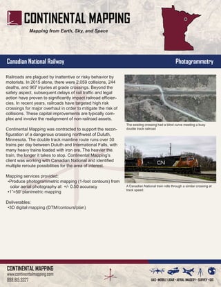

Continental Mapping was contracted to provide mapping services to support the reconfiguration of a dangerous railroad crossing in Minnesota. The crossing had issues with collisions between trains and motor vehicles, resulting in deaths, injuries, and delays. Continental Mapping used aerial photography to produce high-accuracy contour maps and planimetric maps of the area to identify options for rerouting the crossing to reduce safety risks from the blind curve and busy double track railroad. The maps were delivered in a 3D digital format to support redesigning the crossing configuration.


