Download as PDF, PPTX

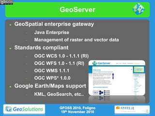
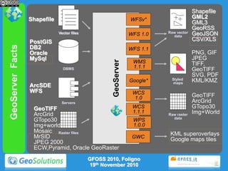
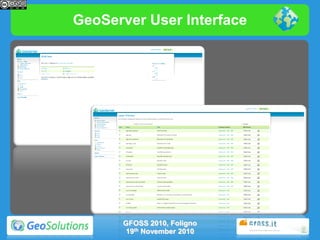
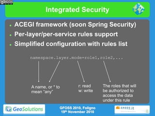
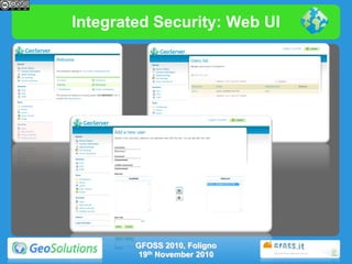
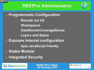
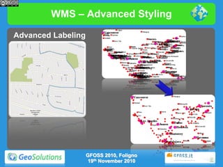
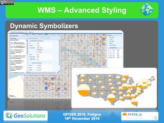
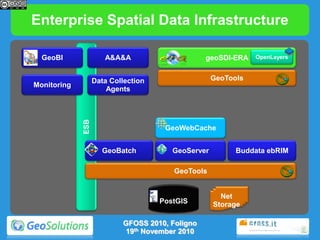
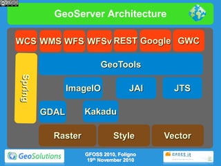

GeoServer is an open source server for sharing geospatial data. It allows for the management and publishing of geospatial map and feature data in accordance with open standards like WMS, WFS, and WCS. The presentation described GeoServer's user interface, security features, administration tools, support for various OGC services, and extensions like complex features, raster styling, KML, and integration with GeoWebCache.