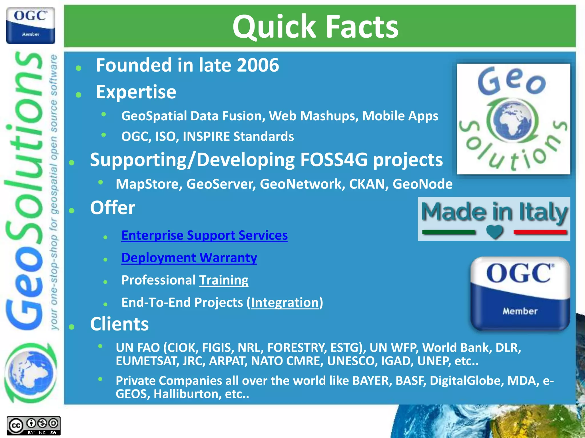
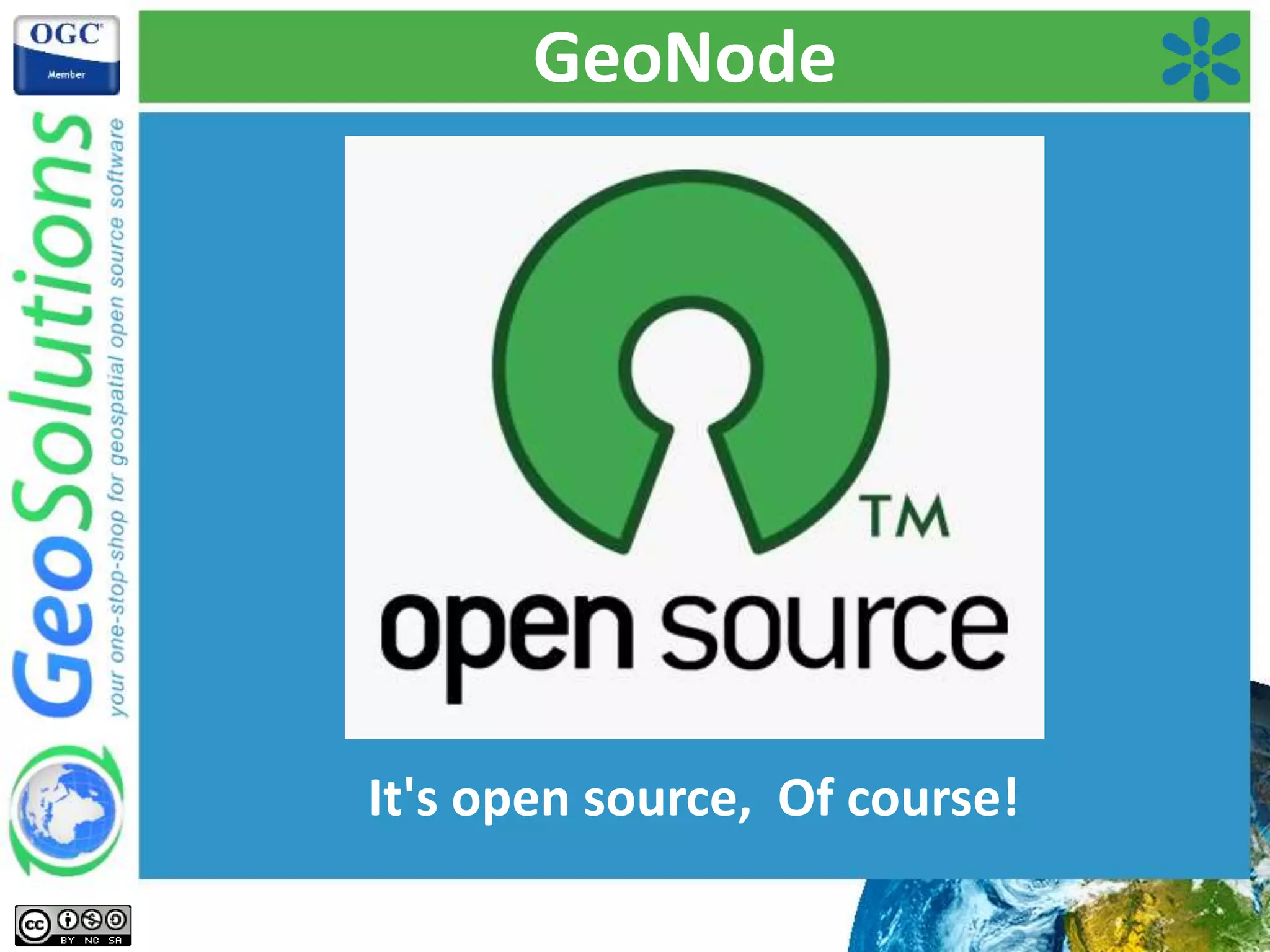
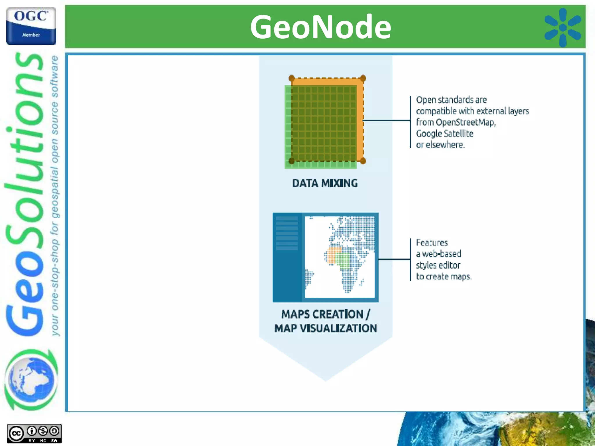
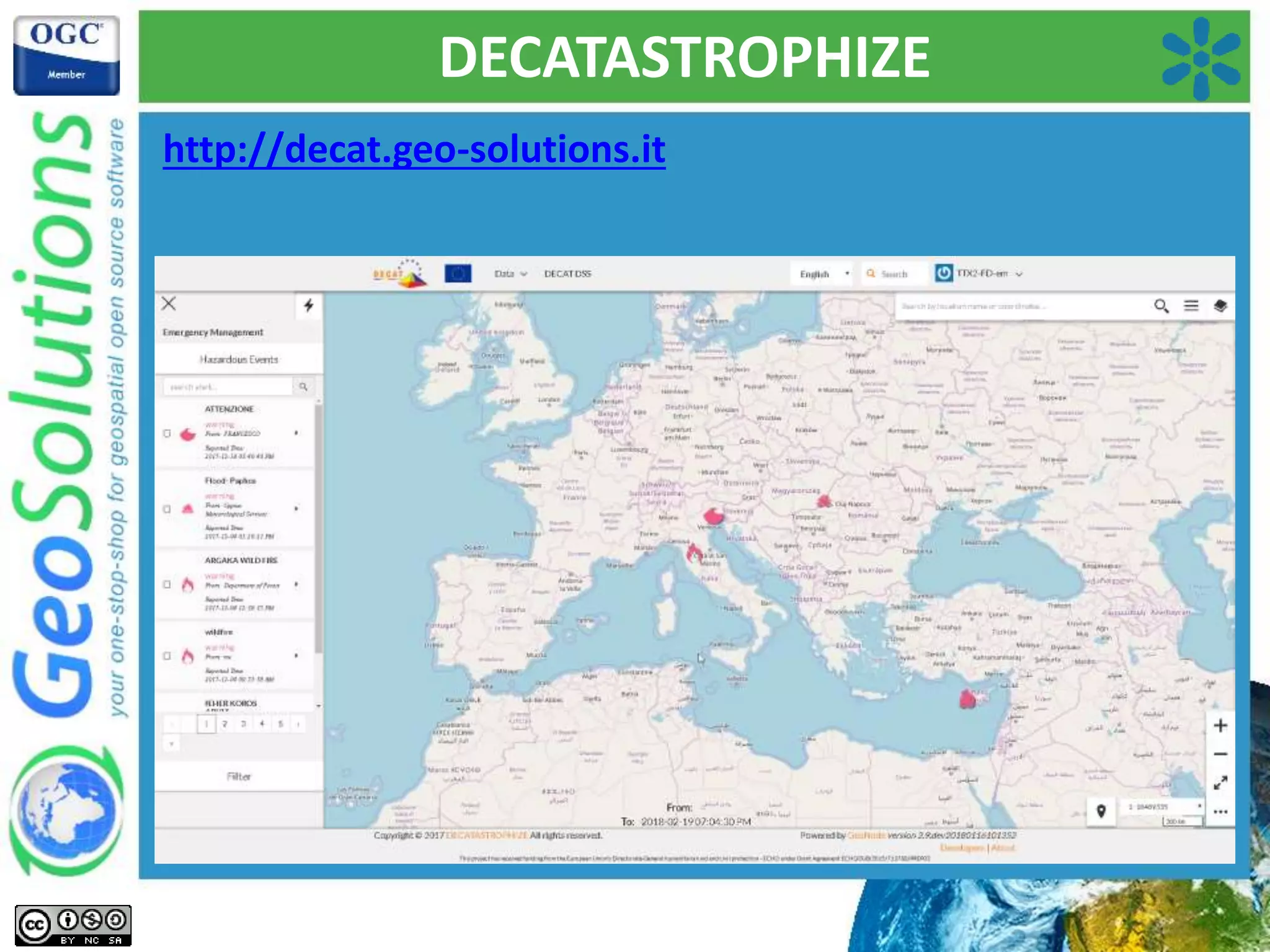
Ing. Alessio Fabiani
Ing. Simone Giannecchini
Introduction to GeoNode
Quick Facts
 Founded in late 2006
 Expertise
• GeoSpatial Data Fusion, Web Mashups, Mobile Apps
• OGC, ISO, INSPIRE Standards
 Supporting/Developing FOSS4G projects
• MapStore, GeoServer, GeoNetwork, CKAN, GeoNode
 Offer
 Enterprise Support Services
 Deployment Warranty
 Professional Training
 End-To-End Projects (Integration)
 Clients
• UN FAO (CIOK, FIGIS, NRL, FORESTRY, ESTG), UN WFP, World Bank, DLR,
EUMETSAT, JRC, ARPAT, NATO CMRE, UNESCO, IGAD, UNEP, etc..
• Private Companies all over the world like BAYER, BASF, DigitalGlobe, MDA, e-
GEOS, Halliburton, etc..
Starting Point & Goals
• Share data without being a GIS expert
• Simplified styling and mapping
• Simplified search and download
• Management of ancillary documents
• Fine grain access control
• Management of users and groups
• Comprehensive GUI
Goals
Traditional Approach to Data collection
Consultant
driven
Opaque
collection
Expensive upfront
Recurring costs
Out of date
Static
Unengaged
Unaffordable
Unchanging
Rethink Data Collection
“Open Data for Resilience Initiative” 2017 - Vivien Deparday
Data collection using Open platforms
TECHNICAL
INSTITUTIONAL
Resources
focused towards
building
capacity
Transparent
& Reusable
Foster more usage
of the data
Scalable and
Maintainable
Collaborative
Builds Govt
capacity to
understand risk
Raises community
awareness of risk
Building local
ownership and
trust in the data
Rethink Data Collection
“Open Data for Resilience Initiative” 2017 - Vivien Deparday
Sharing, Collecting, Using Information to Inform Decisions
Collecting
Sharing
Using
“Open Data for Resilience Initiative” 2017 - Vivien Deparday
GeoNode
GeoNode!
It's open source, Of course!
GeoNode
 Founders
 Global Facility for Disaster Reduction and Recovery
(GFDRR) and World Bank
 UN International Strategy for Disaster Reduction
(UNISDR)
 Prominent Users
 WFP
 GEM
 UNESCO
 NGA
 MapStory Foundation
GeoNode
GeoNode
GeoNode
GeoNode
GeoNode
GeoNode - Functionalities
Data Upload
GeoNode - Functionalities
Styling
GeoNode - Functionalities
Editing
GeoNode - Functionalities
Permissions
Download
GeoNode - Functionalities
Users &Groups
GeoNode - Functionalities
Metadata
What's it made of?
GeoNode
Showcase
Uganda Bureau Of Statistics
http://maps.ugandadata.org/
GeoDashboard Bangladesh
https://geodash.gov.bd/
GeoDashboard Bangladesh
https://geodash.gov.bd/
Madagascar GeoNode
C-READ
http://ckan.c-read.net/
C-READ
http://ckan.c-read.net/
C-READ
http://ckan.c-read.net/
Malawi Spatial Data Platform
http://www.masdap.mw/
Malawi Spatial Data Platform
http://www.masdap.mw/
 January 2015 floods:
• Most impacted districts
were Nsanje and
Chikwawa
• Affected >600,000 people,
displaced 200,000,
and damaged 35,000 ha of
agricultural crops
• Affected the poorest the
hardest
 The benefit of having data and Masdap Platform:
• All data from the flood event was shared on the official Government
GeoNode (e.g.. satellite imagery)
• All data from the flood event was shared on the official Government
GeoNode (e.g.. satellite imagery)
Zanzibar Drone Mapping
http://www.zanzibarmapping.com/
https://www.youtube.com/watch?v=qVEdhSodIeE
http://zansea-geonode.org/
Zanzibar Drone Mapping
http://zansea-geonode.org/
Afghanistan Distaster Risk
http://disasterrisk.af.geonode.org/
Afghanistan Distaster Risk
Risk Data Extraction & Visualization Tool
Afghanistan Distaster Risk
Risk Data Extraction & Visualization Tool
Afghanistan Distaster Risk
Cost Benefit Analysis & Decision Tool
Afghanistan Distaster Risk
Cost Benefit Analysis & Decision Tool
UNESCO Water Information Network System
http://ihp-wins.unesco.org/
DECATASTROPHIZE
http://decat.geo-solutions.it
DECATASTROPHIZE
http://decat.geo-solutions.it
That’s all!
http://www.geo-solutions/contacts
info@geo-solutions.it

Introduction to GeoNode