Download to read offline

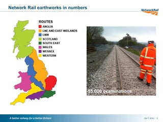
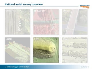
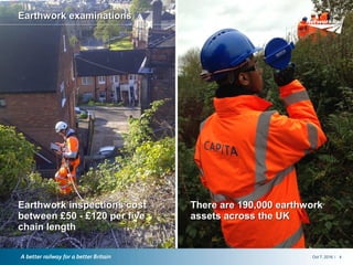
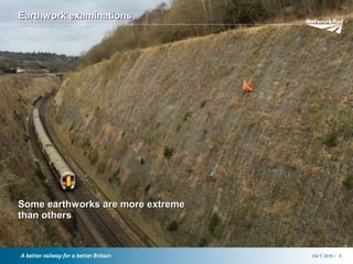
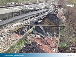
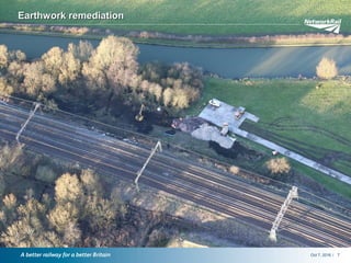
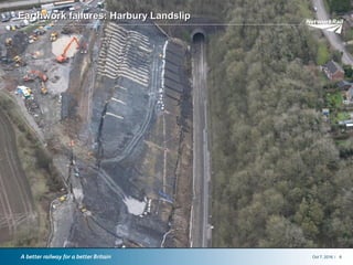
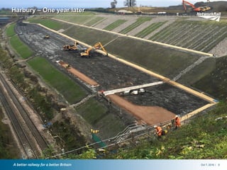
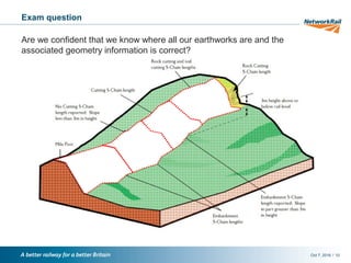
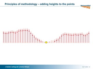
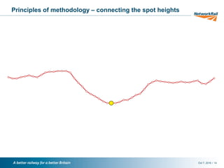
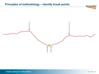
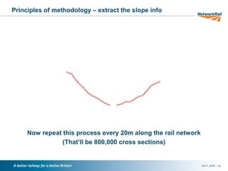
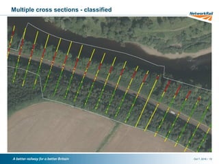
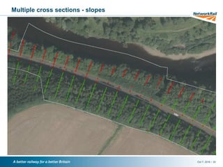
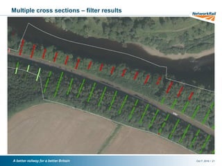
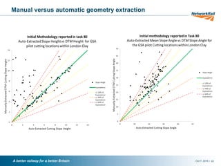
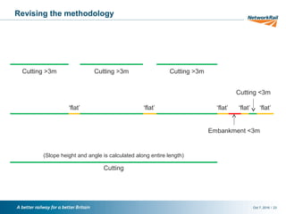

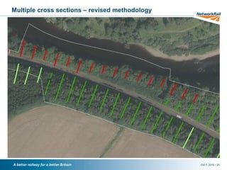
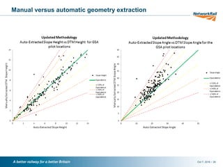
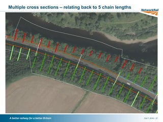
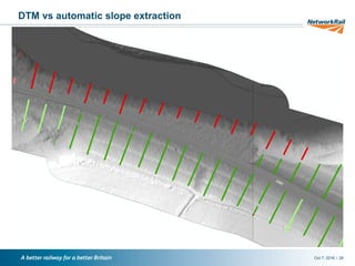
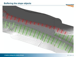
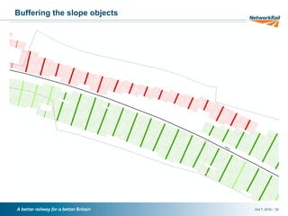
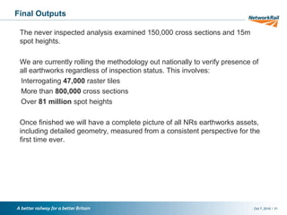
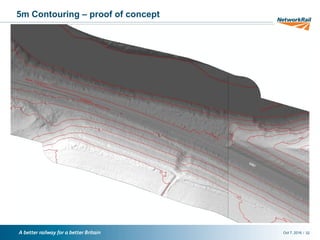
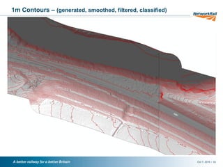
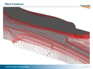
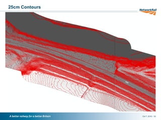
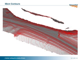

Network Rail manages over 190,000 earthwork assets across the UK's 16,000 route km of track. Traditionally, earthwork inspections cost between £50-£120 per five chain length and were conducted on around 55,000 sites. However, the document describes how GIS analysis of aerial imagery and contour data allowed Network Rail to automatically extract geometry data on over 150,000 cross-sections and identify locations of 80% of sites previously marked as "never inspected", removing the need for on-site visits and saving around £1.2 million. The methodology is now being applied nationwide to generate a complete and consistent record of all earthwork assets for the first time.


