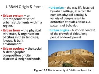
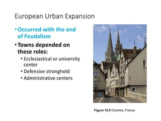
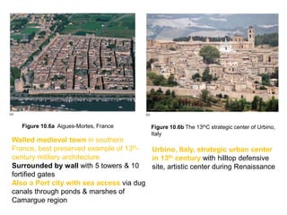
Downloaded 82 times

![[Insert Figure 10.15]
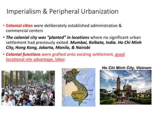
Colonial Cities
•European
imperialism
•"Established" or
planted Colonial
functions
grafted onto an
existing
settlement
Figure 10.15 Mumbai, an example of colonial architecture and urban design](https://image.slidesharecdn.com/disc-160425002559/85/Disc-4-Urban-issues-Ch-11-10-Urbanization-10-320.jpg)
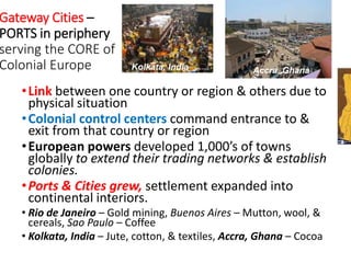

![[Insert Figure 10.23]
World Urbanization Today
•Over-urbanization
• Squatter settlements
•Megacities –
• Very large cities
• characterized by
• both primacy & a
• high degree of centrality
•Informal sector of the economy, activities off official
records & not subject to formal regulation, “getting paid”,
also centers of self-help networks & community
organization. Serves the city core.
Figure 10.20 Slum housing in Nairobi, Kenya, a peripheral city](https://image.slidesharecdn.com/disc-160425002559/85/Disc-4-Urban-issues-Ch-11-10-Urbanization-25-320.jpg)

The document discusses urbanization as a significant global phenomenon, emphasizing the concentration of populations in cities and the resulting socio-economic implications. It explores historical aspects of urban growth, the impacts of deindustrialization, segregation, and the emergence of urban slums. Additionally, it highlights the complexities of urban environments, including colonial influences, gateway cities, and the effects of policies such as redlining in North America.


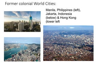
![[Urban Management Program City Paper : Mexico City, Mexico]](https://cdn.slidesharecdn.com/ss_thumbnails/presentation-141112203123-conversion-gate01-thumbnail.jpg?width=640&height=640&fit=bounds)


