
Download as PDF, PPTX

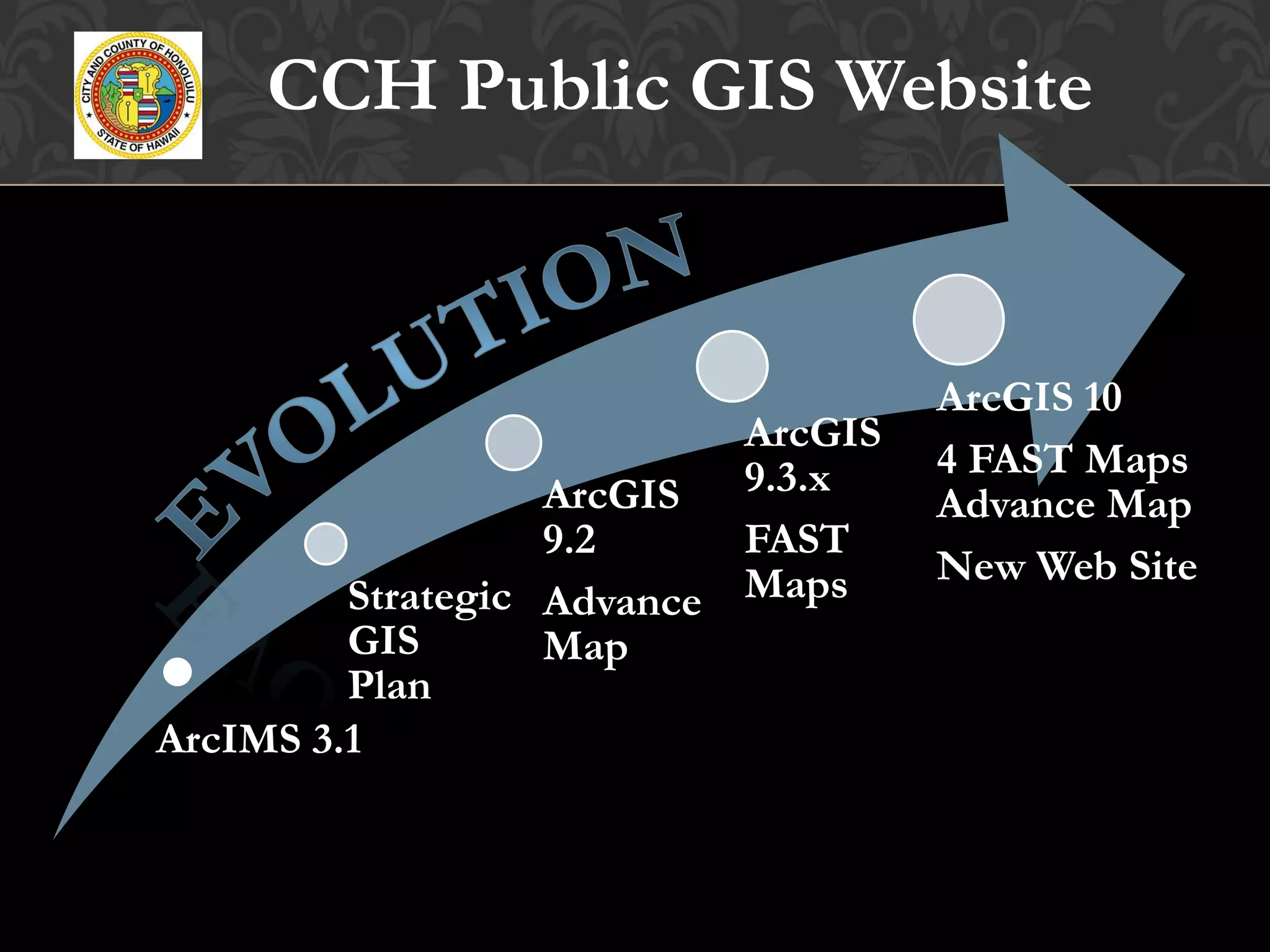
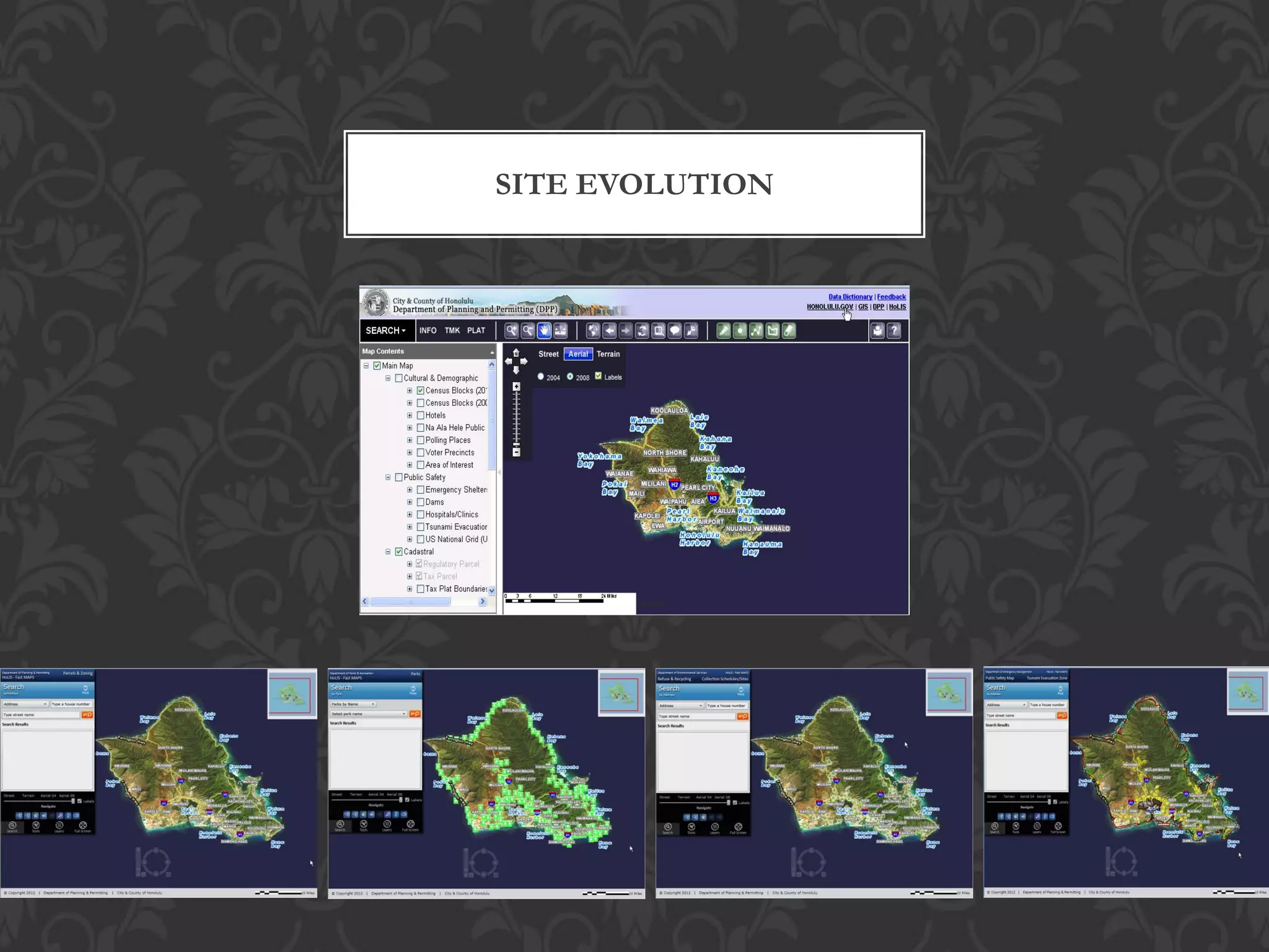
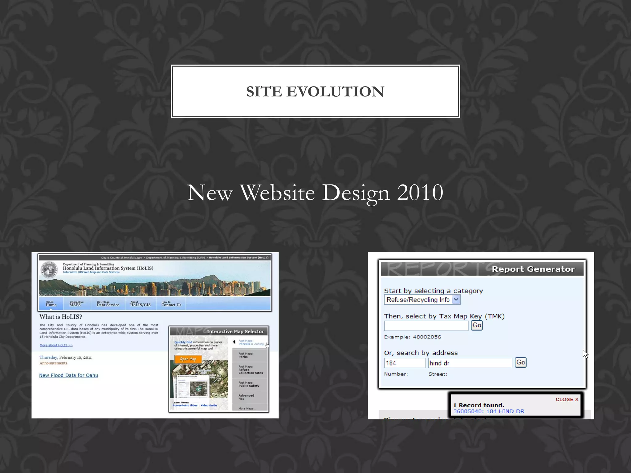
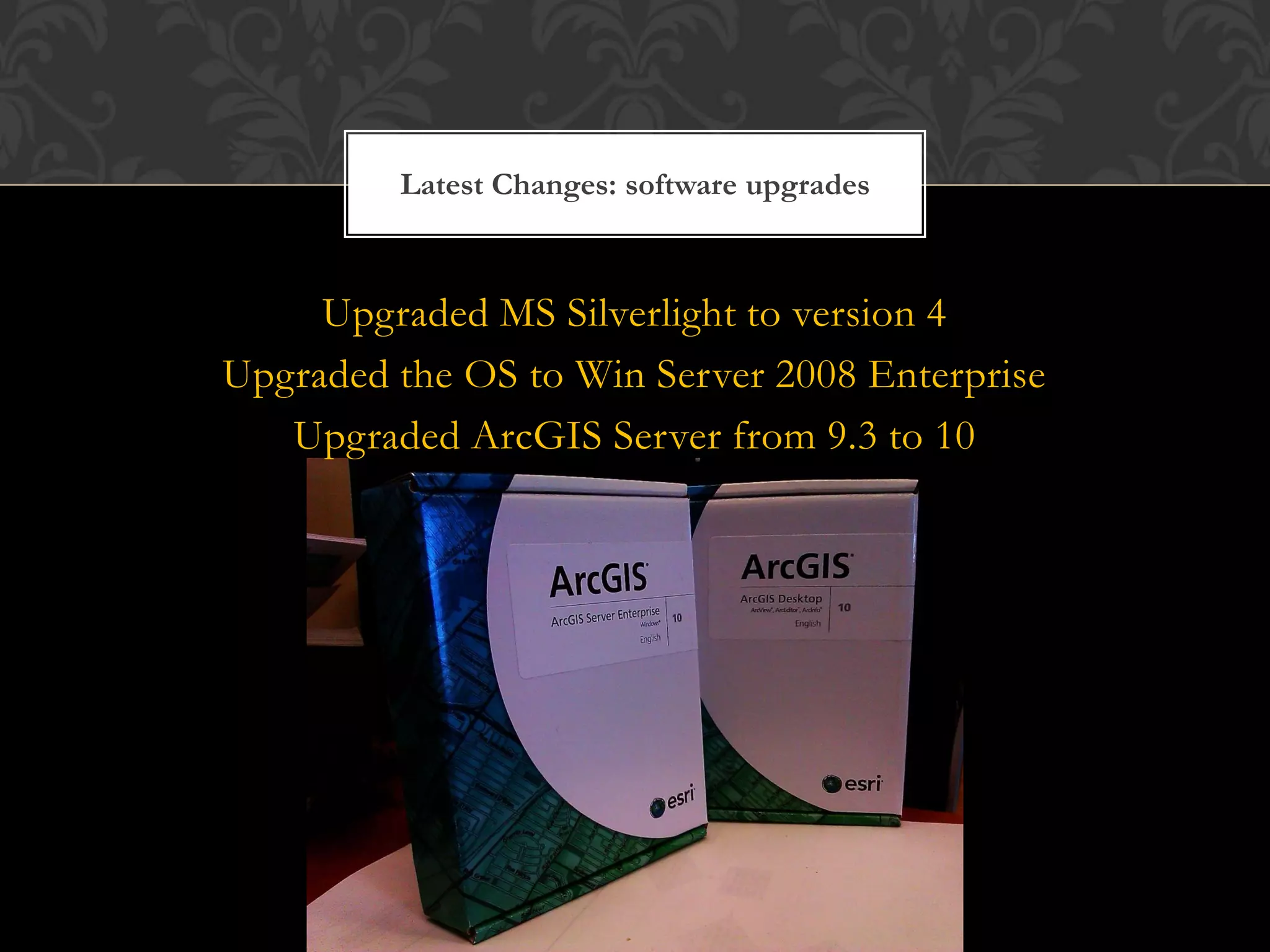

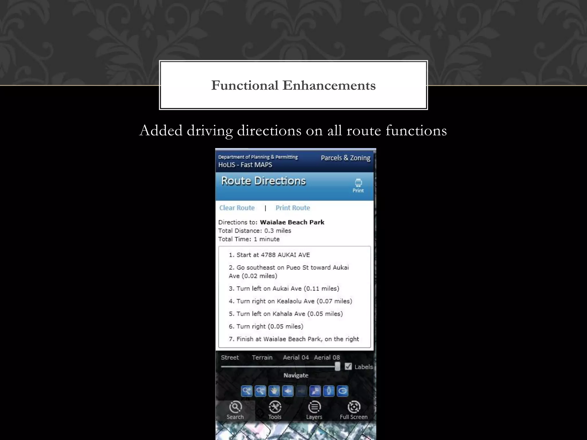
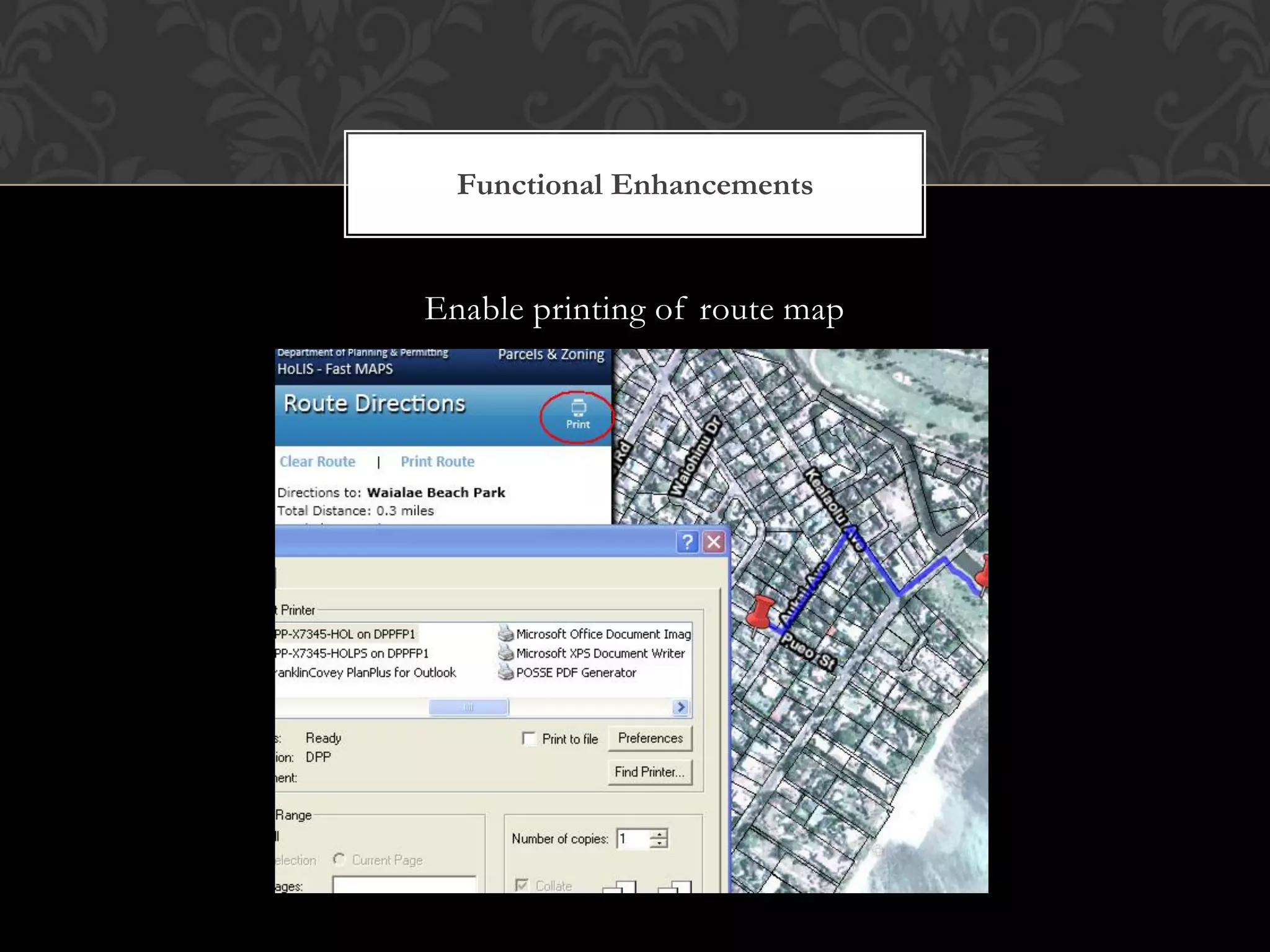
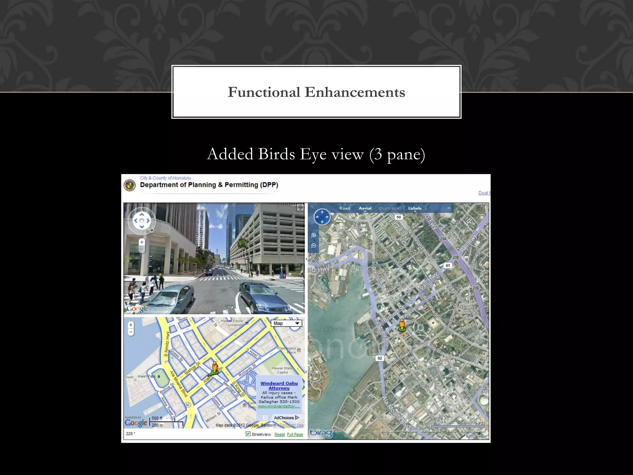

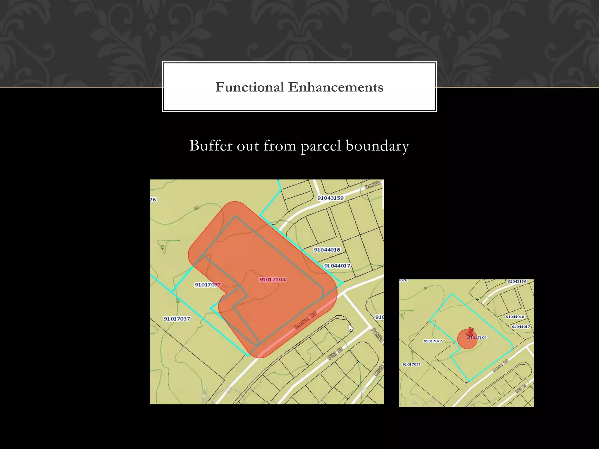
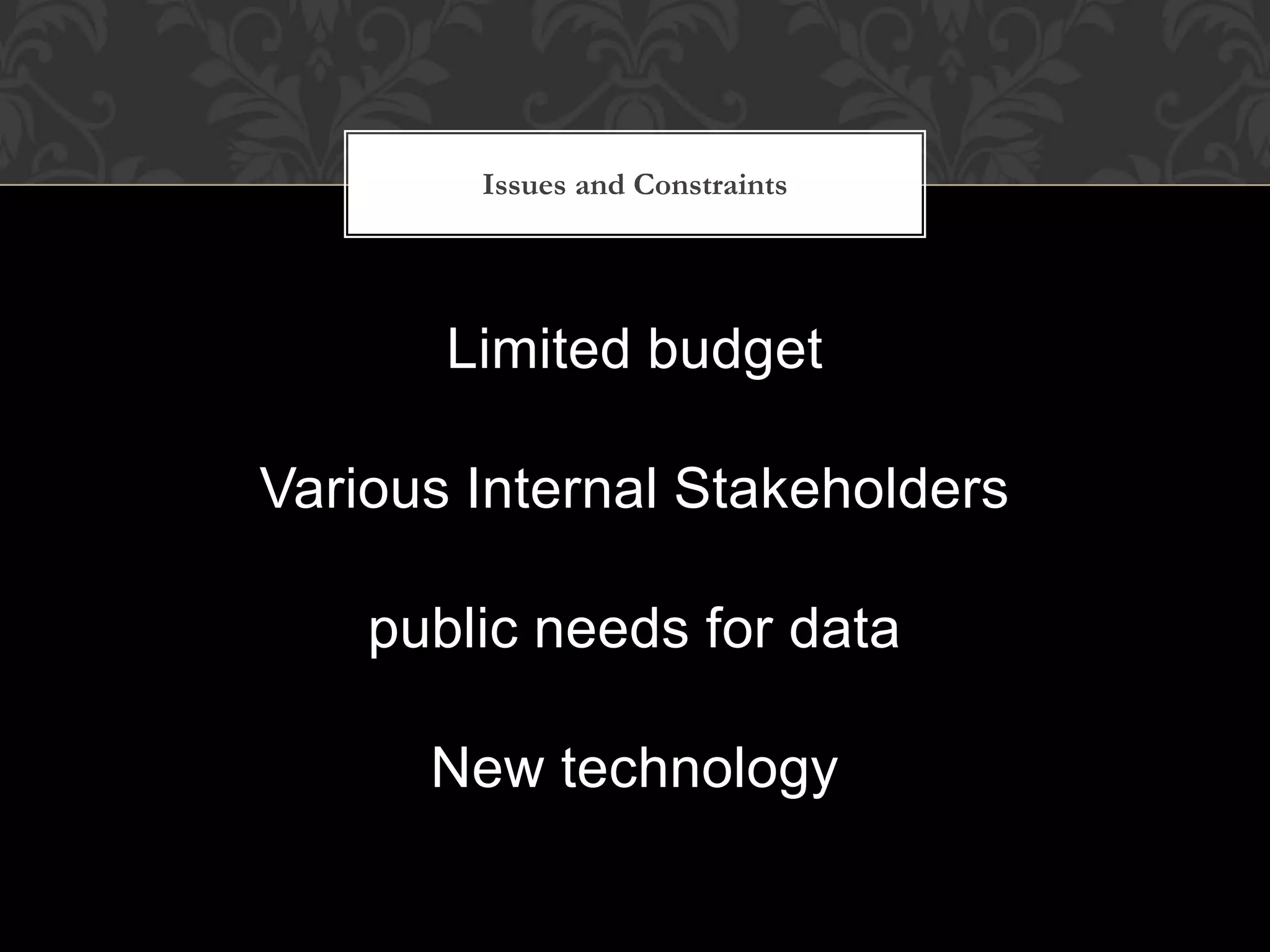
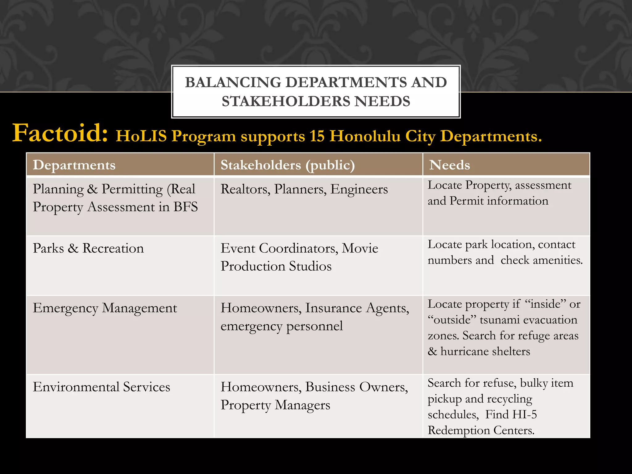
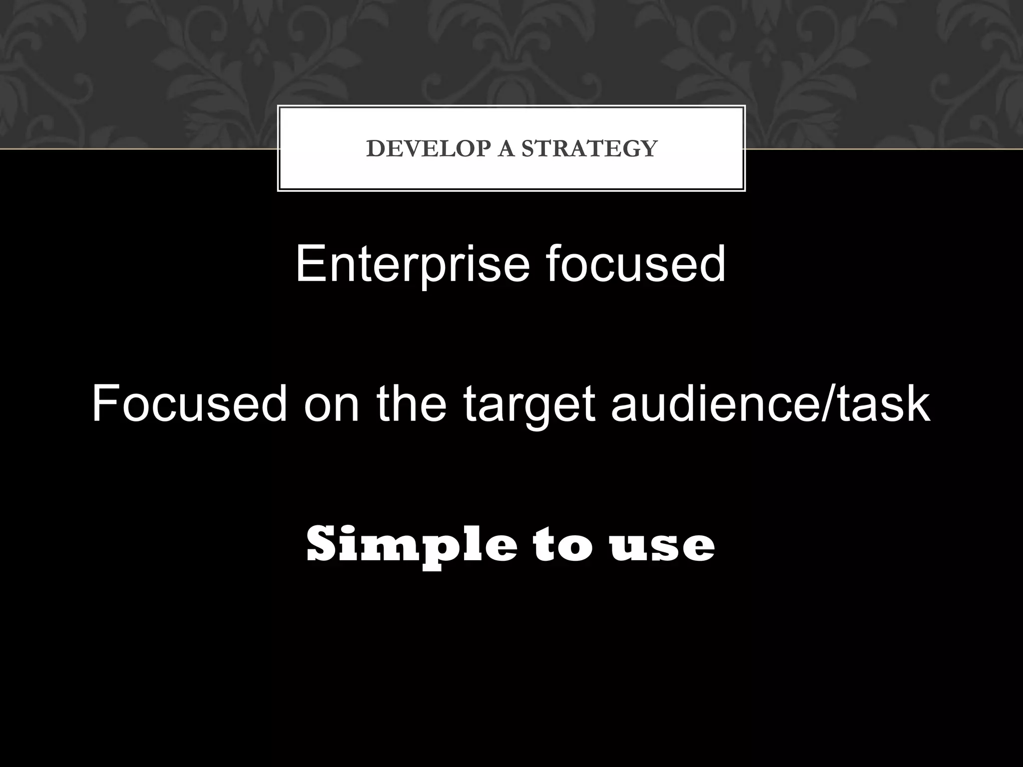

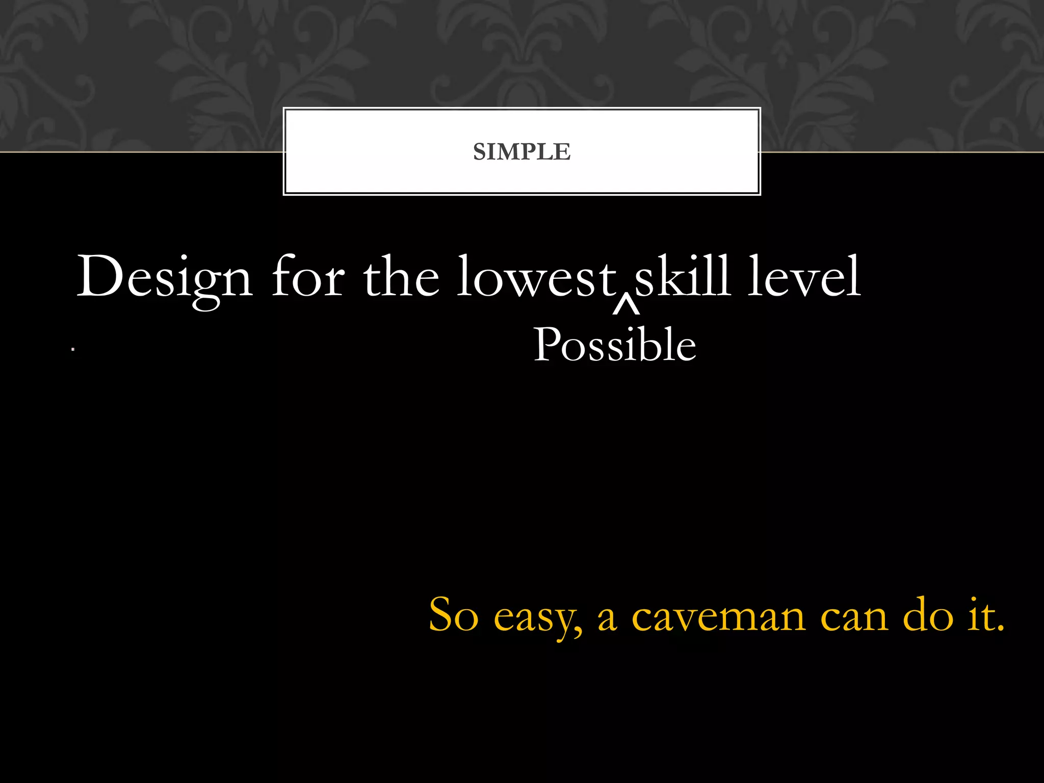
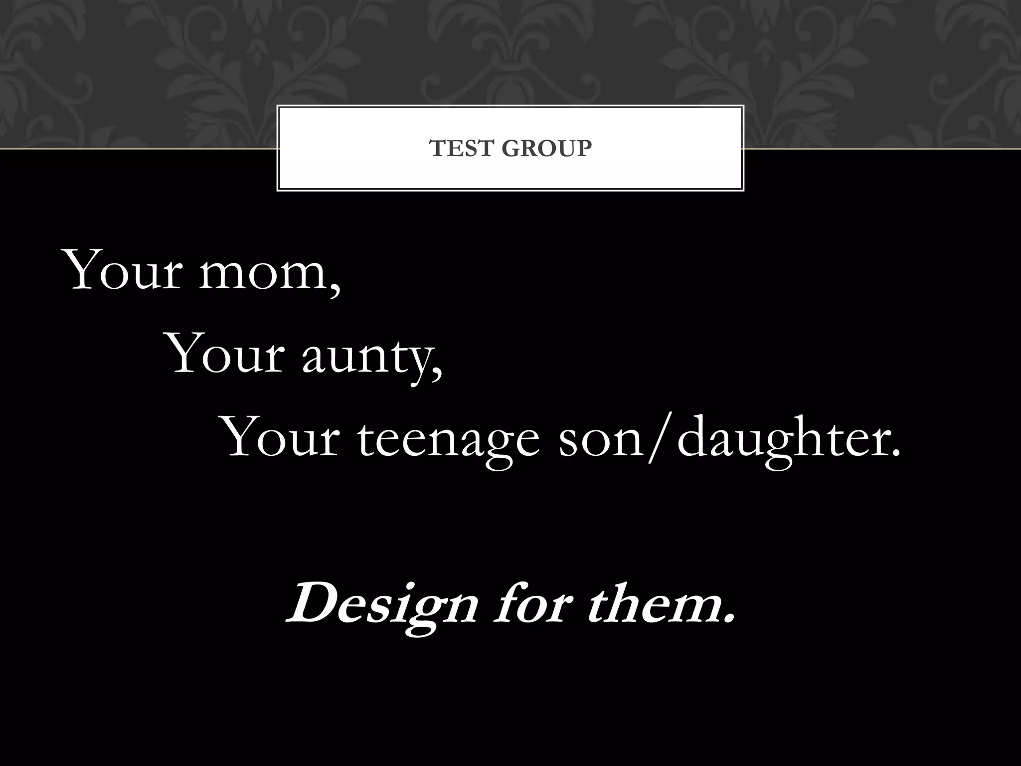


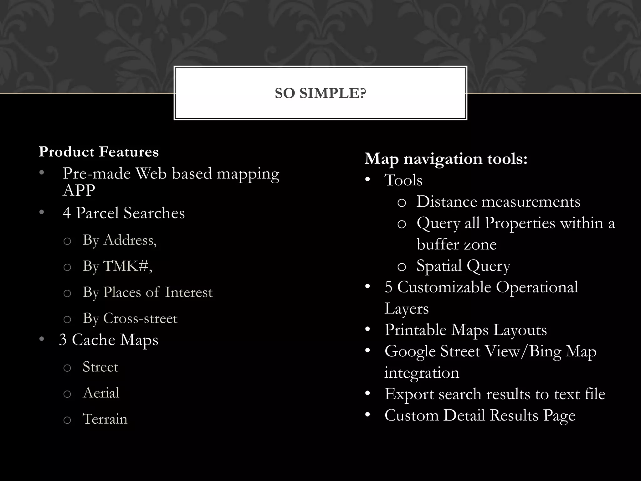


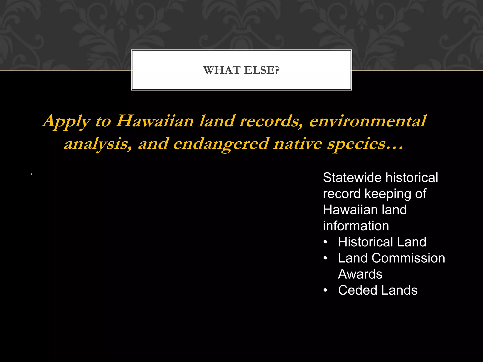


This document discusses the evolution of a GIS map application for the City and County of Honolulu. It went through several upgrades over time from ArcIMS 3.1 to the current ArcGIS Server 10. The latest changes involved hardware upgrades and adding new functionality like property information enhancements, routing features, and printing capabilities. Developing the application required balancing the needs of various city departments and stakeholders while working with limited budgets. The document emphasizes designing for simplicity and usability by non-experts to ensure the widest possible audience can successfully use the tool. It provides recommendations around developing a strategy, reusing existing solutions, hiring a designer, and prioritizing simplicity.


