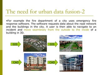
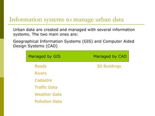
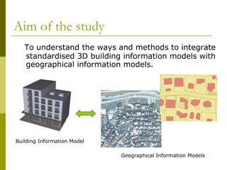

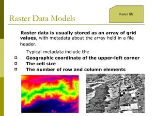
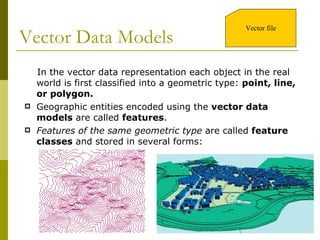
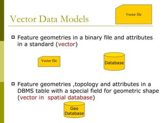
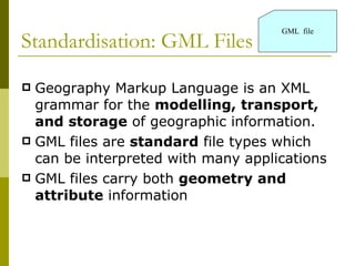
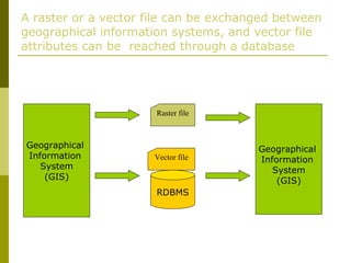
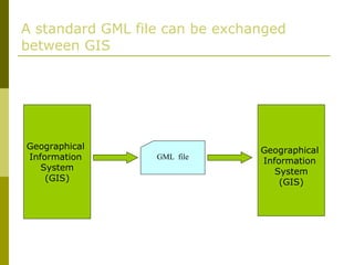
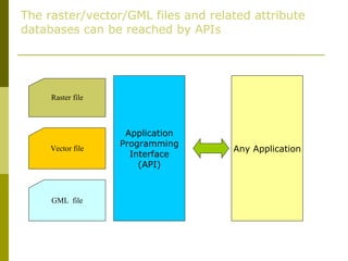
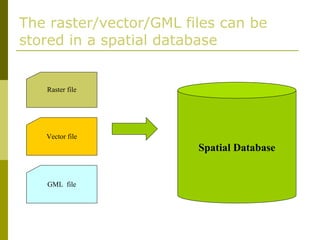
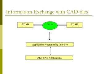
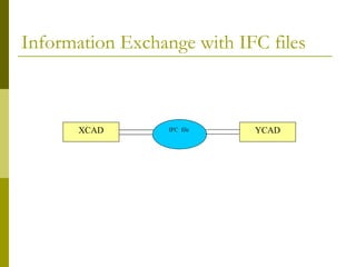
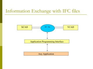
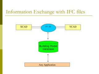

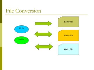
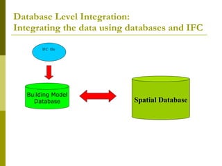
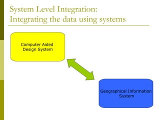
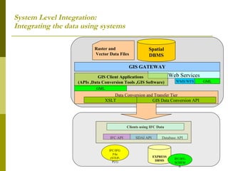
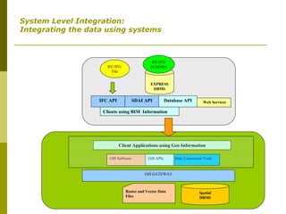


The document discusses urban data fusion, which involves integrating geographical information models and building information models. Geographical information models represent natural and infrastructure data, while building information models contain 3D representations and attributes of buildings. There are various data formats and standards for each model type, as well as different approaches to integrating the two, including file conversion, database integration, and system integration that links different software applications. The study aims to understand methods for standardizing integration between 3D building models and geographical datasets.