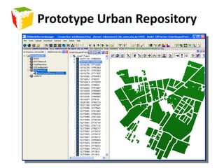
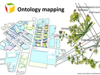
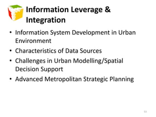
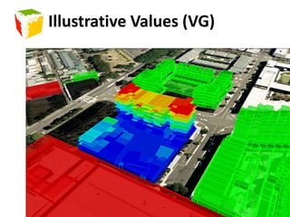
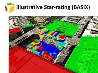
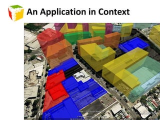
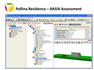
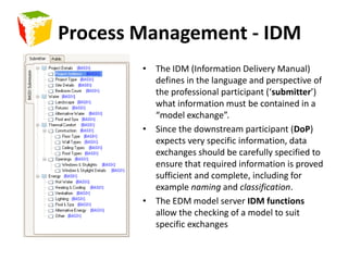
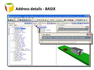
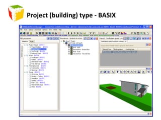
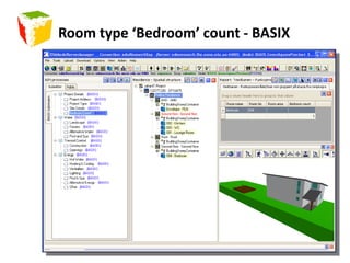
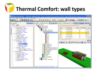
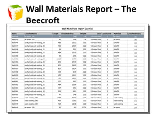
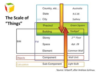
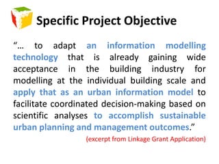
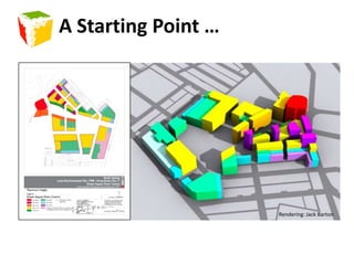
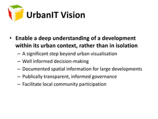
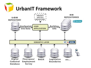
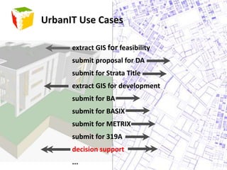
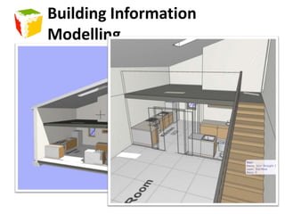
This document provides an overview of the UrbanIT project, which aims to develop an urban information modeling framework to support integrated metropolitan planning. It discusses the development of an urban information model for the Green Square area in Sydney, based on building information modeling (BIM) standards. The framework uses ontologies and open standards to integrate diverse planning, social and spatial data sources. Example applications include context analysis, compliance checking and BASIX energy assessment. The project demonstrates how an urban information model can help decision-making and management of large-scale urban development projects.


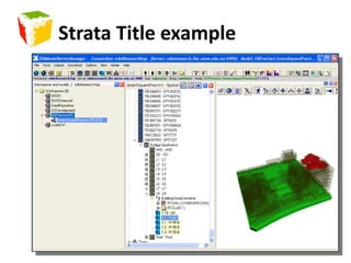
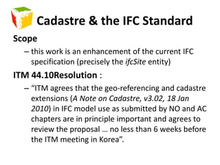
![Cadastre – links GIS & BIM “A cadastre (also spelt cadaster), using a cadastral survey[1] or cadastral map, is a comprehensive register of the (boundary)metes-and-boundsof real property of a country.](https://image.slidesharecdn.com/urbanit-finalpresentationannotated-100426193605-phpapp01/85/UrbanIT-Partner-Presentation-27-320.jpg)
![To build requires the ownership of land, and only relatively recently has it been possible to own part of a facility, that is a strata title.Australian Cadastral Types[1] See Wikipedia, http://en.wikipedia.org/wiki/Cadastre](https://image.slidesharecdn.com/urbanit-finalpresentationannotated-100426193605-phpapp01/85/UrbanIT-Partner-Presentation-29-320.jpg)