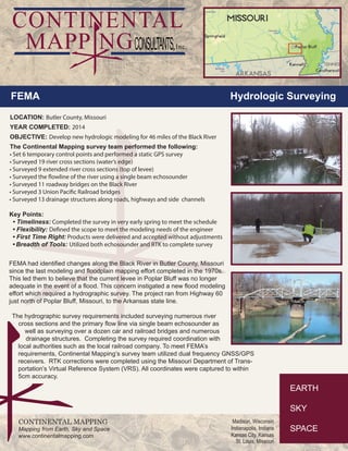
Download to read offline

FEMA identified changes to the Black River in Missouri that required new flood modeling from Highway 60 north of Poplar Bluff to the Arkansas border. Continental Mapping performed a hydrographic survey of the 46 mile river section, surveying cross sections, bridges, and drainage structures. Using GPS and an echosounder, they surveyed river edges, extended levee sections, the river flowline, 11 road bridges, 3 railroad bridges, and 13 drainage structures to provide data for updated floodplain modeling within 5cm accuracy.


