Downloaded 521 times

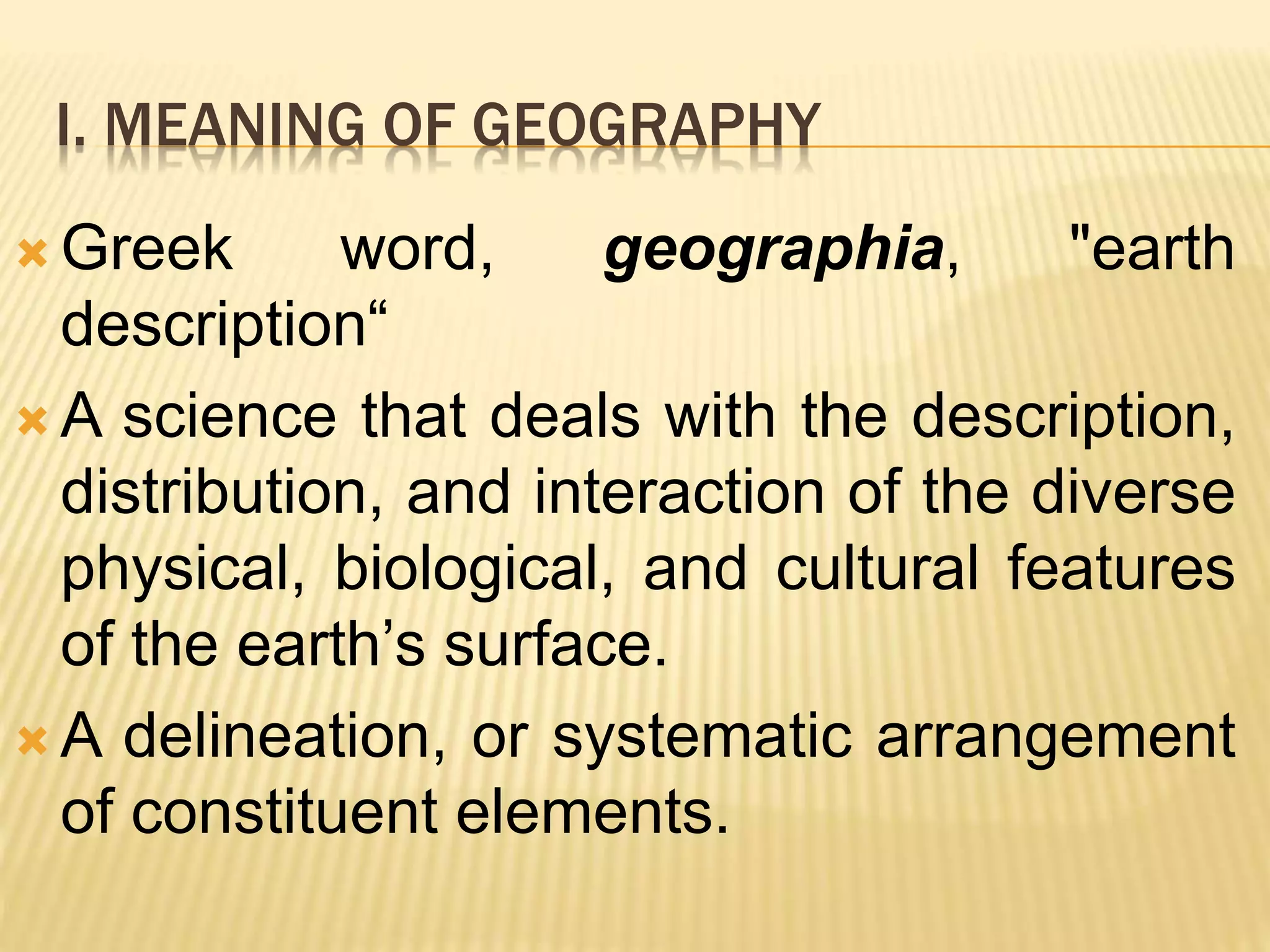
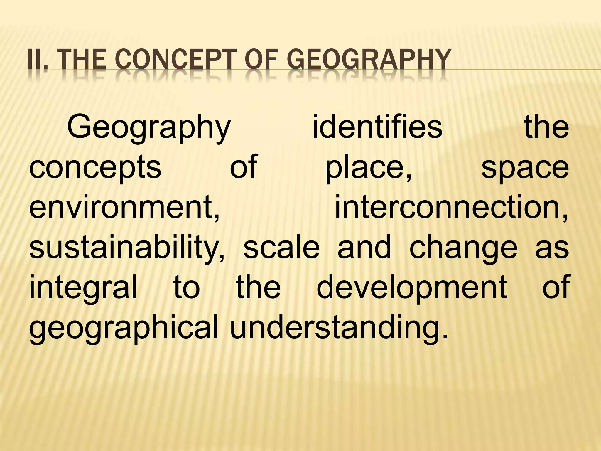


This document provides an overview of geography as an academic discipline. It begins by defining geography as the study of the earth's physical features and human systems. It then covers various key concepts in geography like place, space, environment, interconnection, sustainability, scale and change. The document also discusses the history and evolution of geography as a field of study. It outlines the key elements of geography and discusses the relationships between geography and other social sciences. Finally, it provides descriptions of the sub-disciplines of physical geography and human geography.