Downloaded 233 times
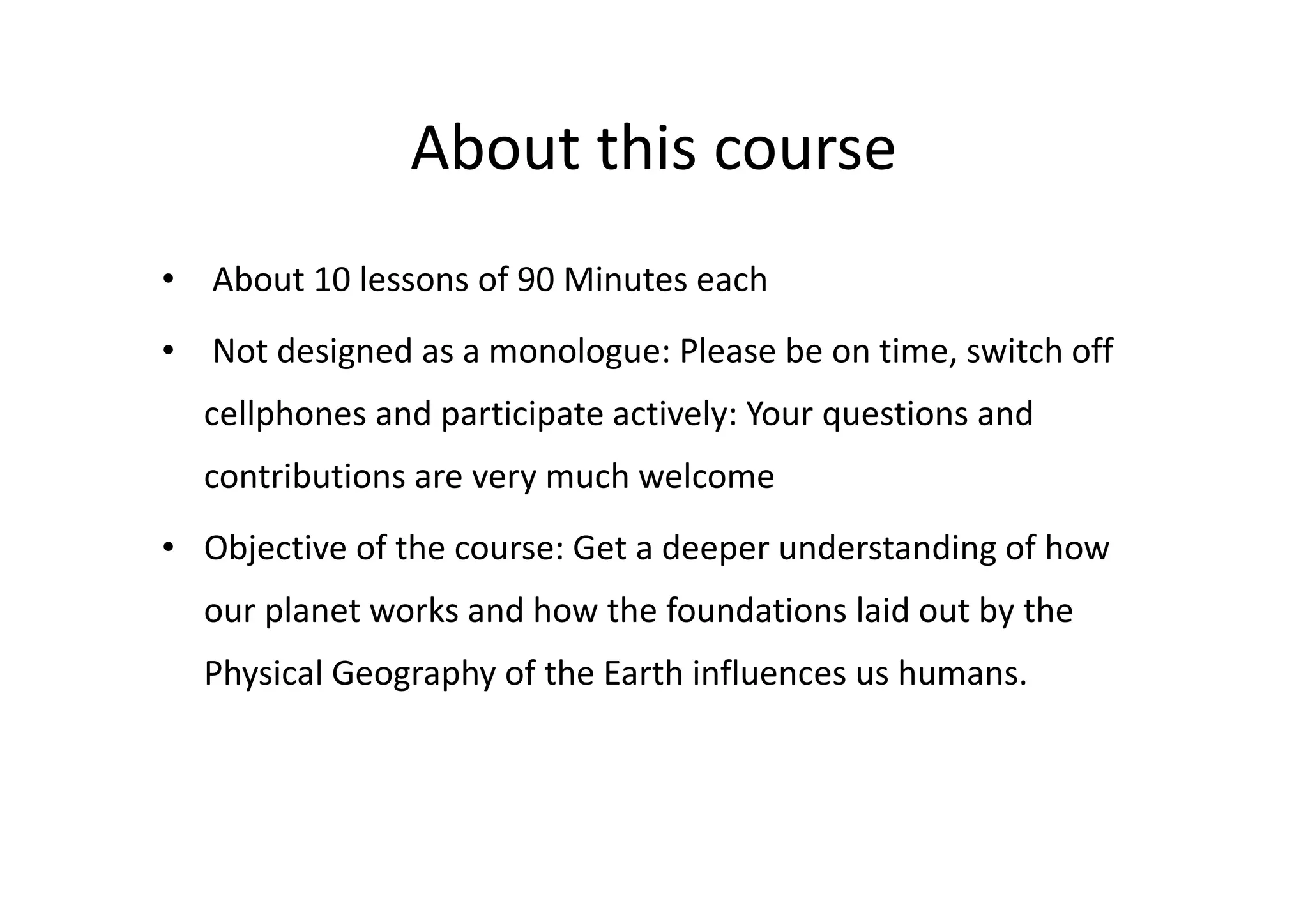
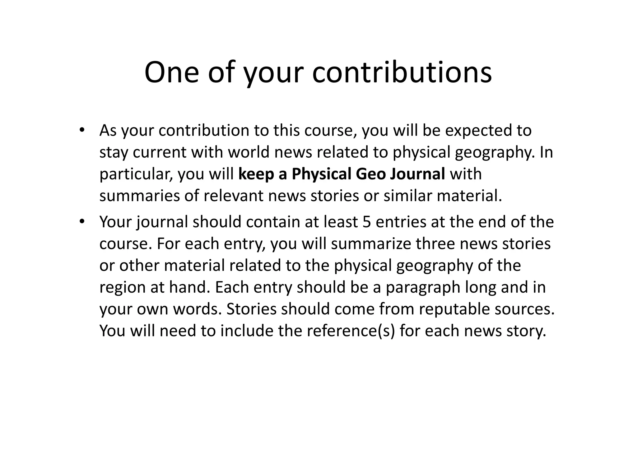
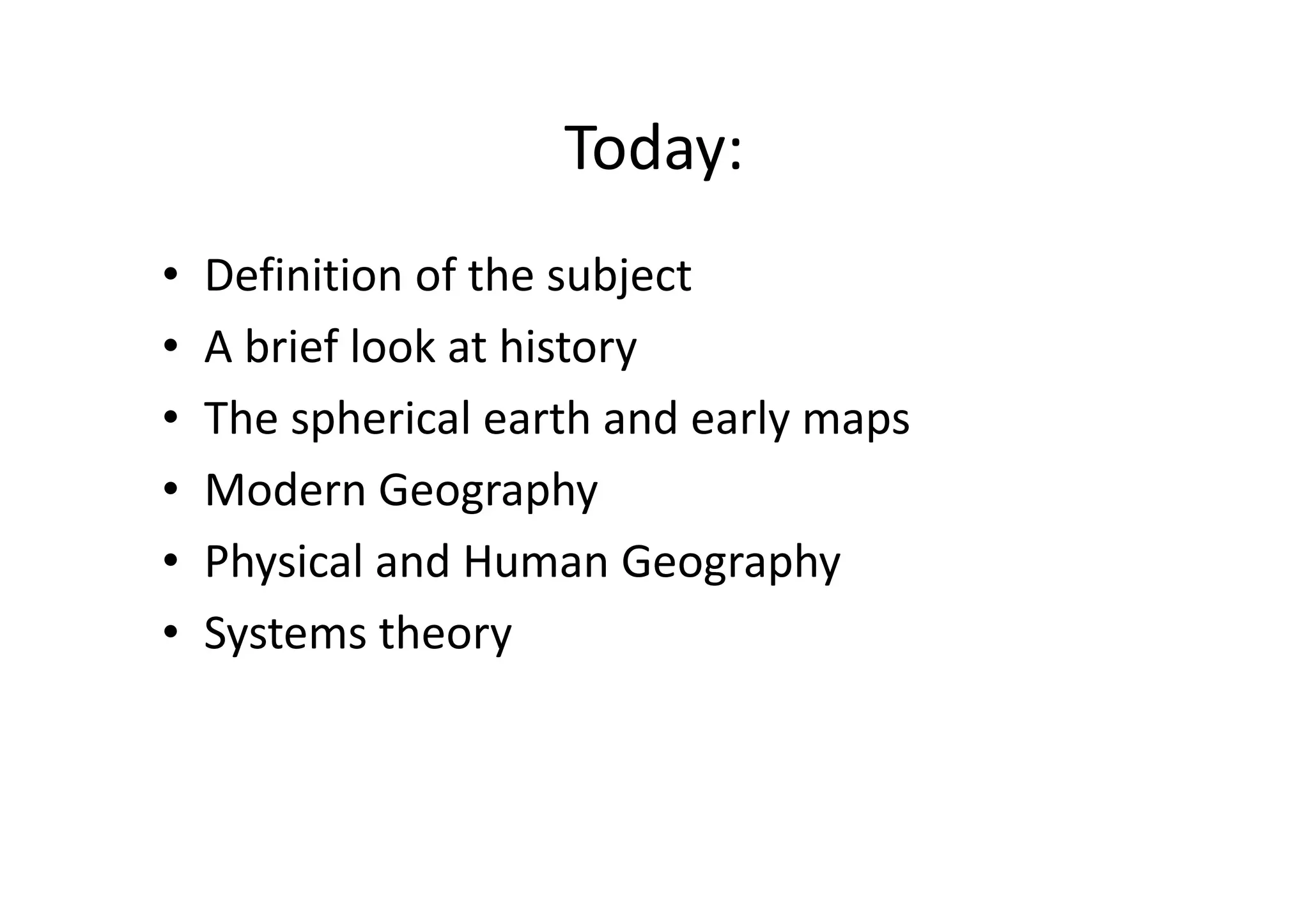
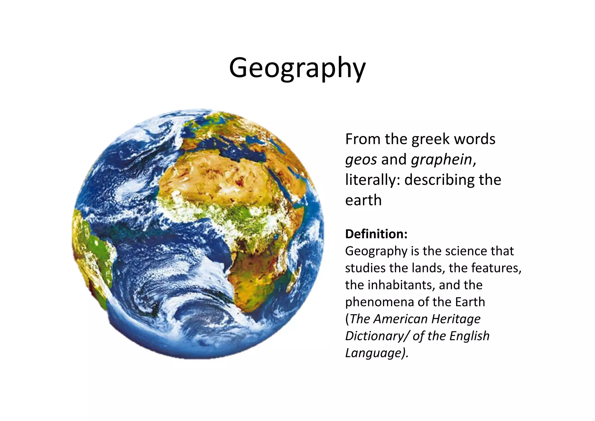
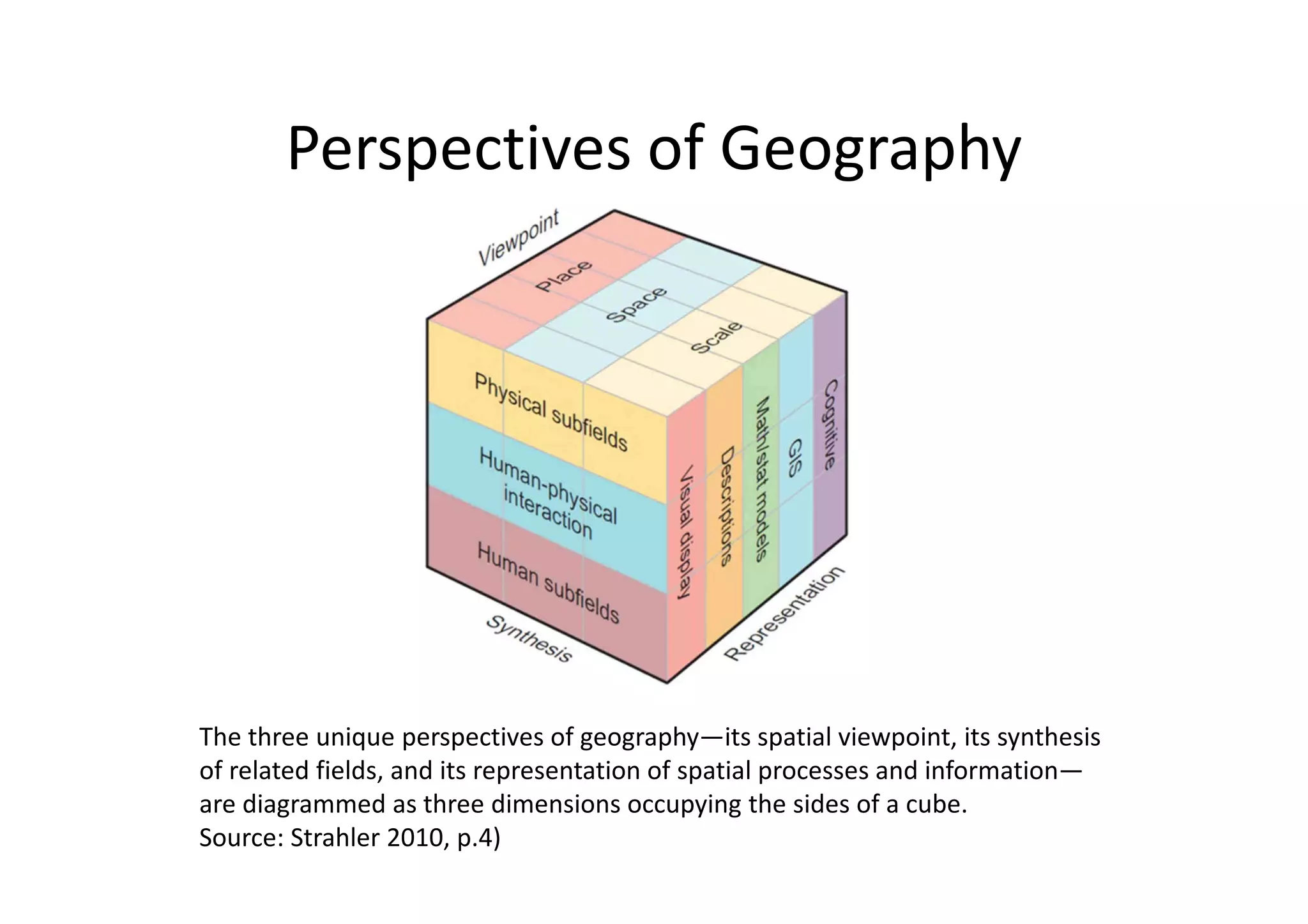
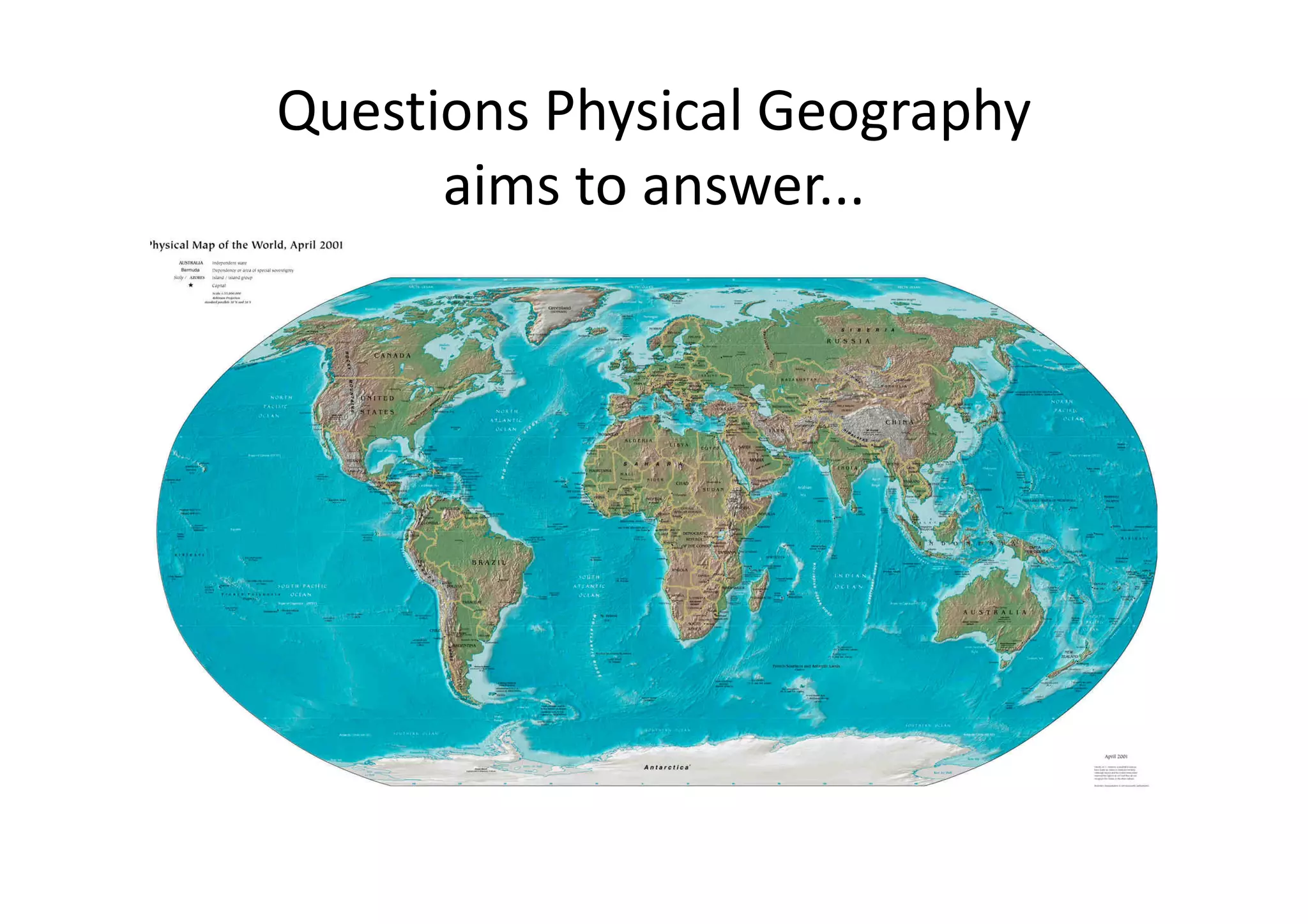

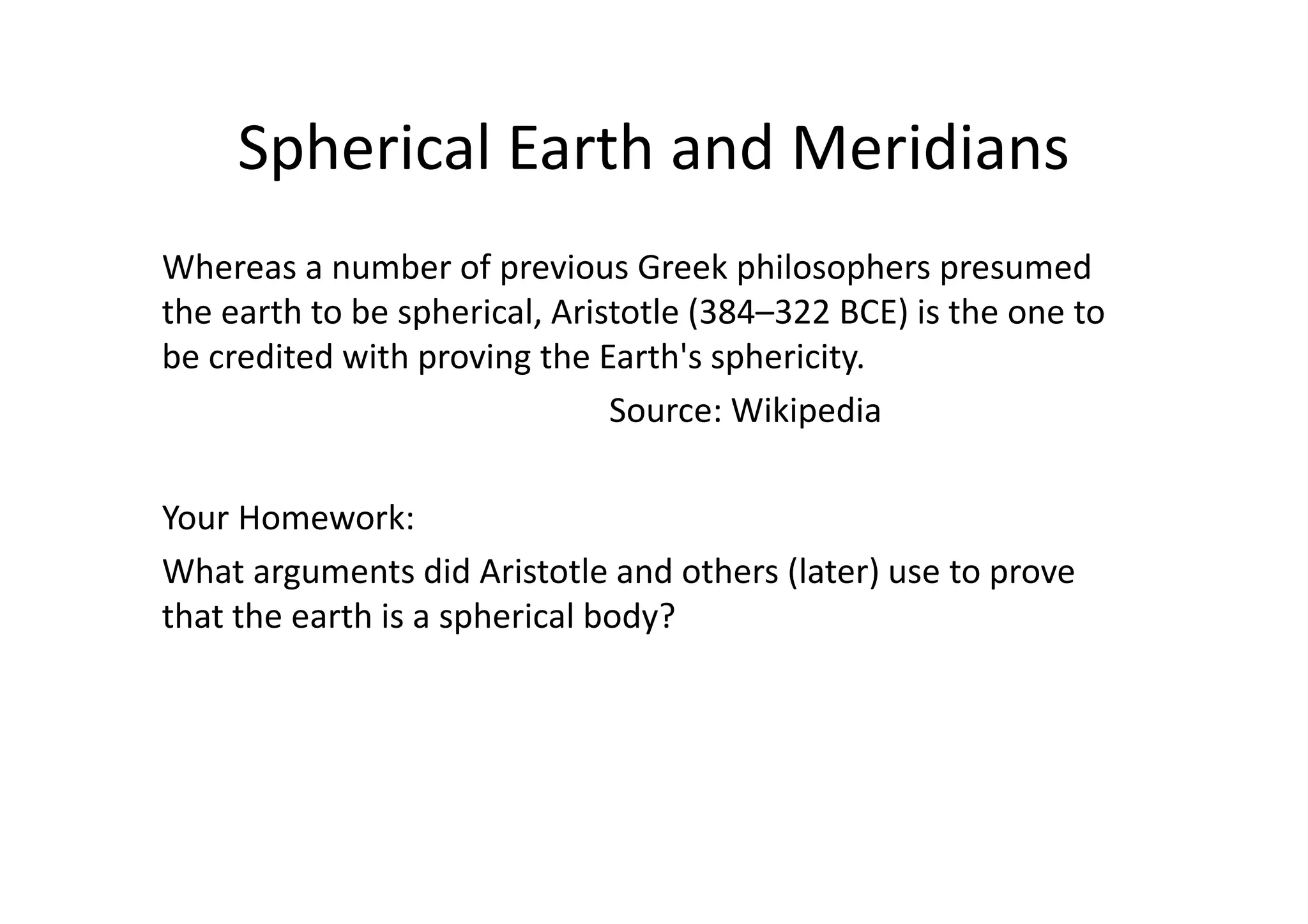

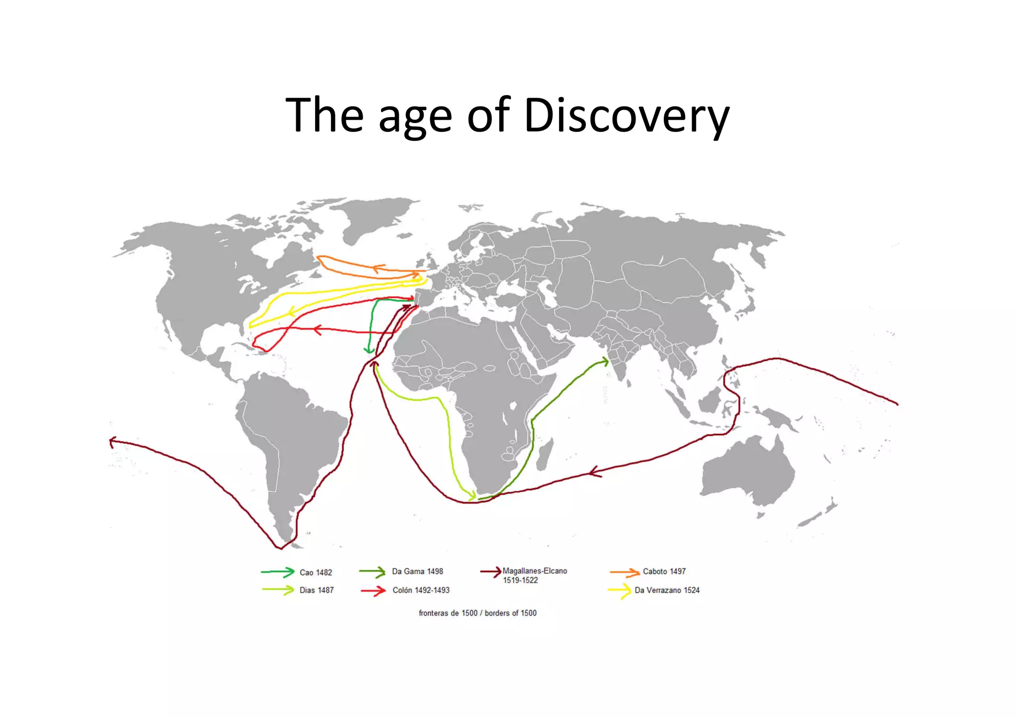

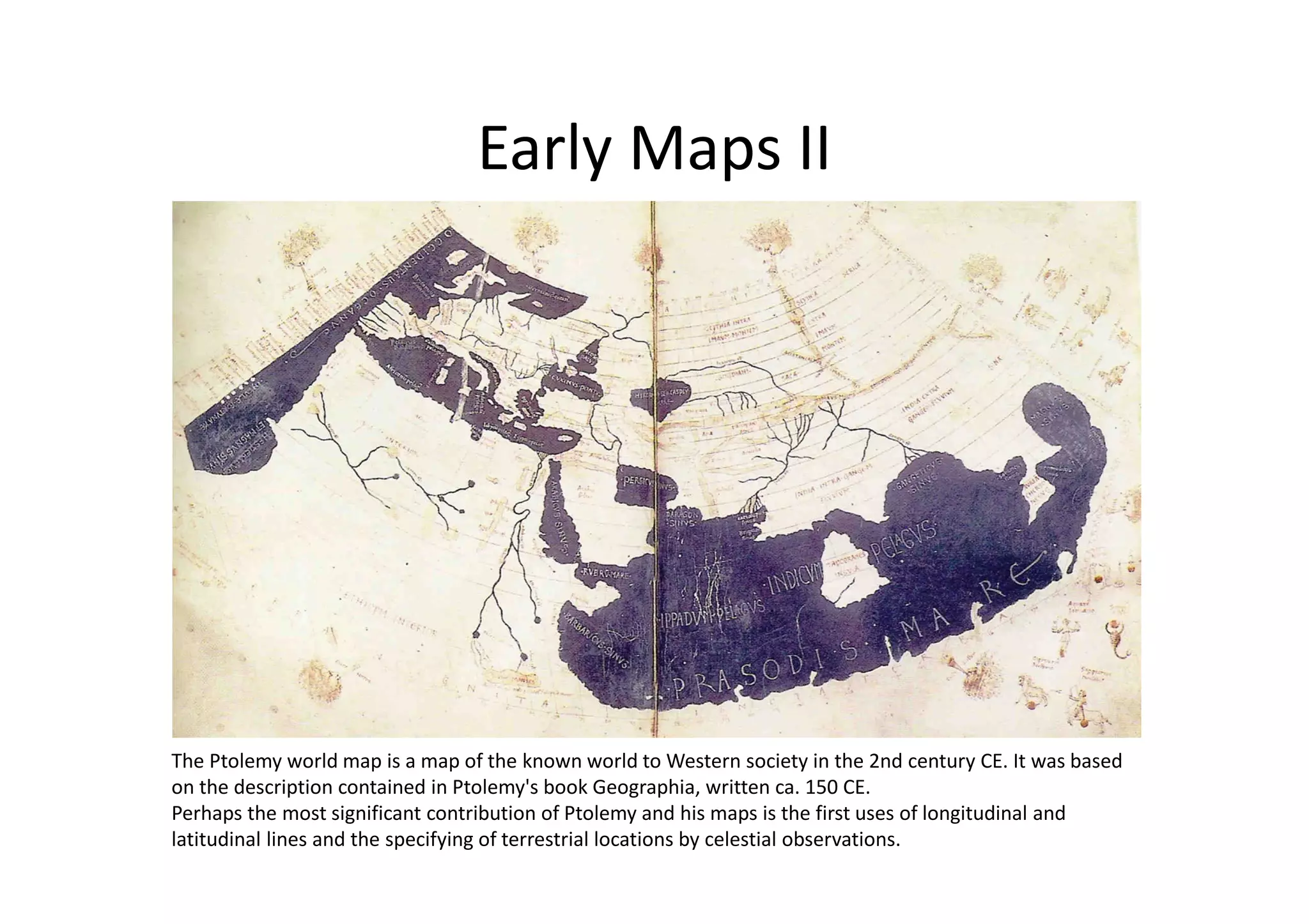
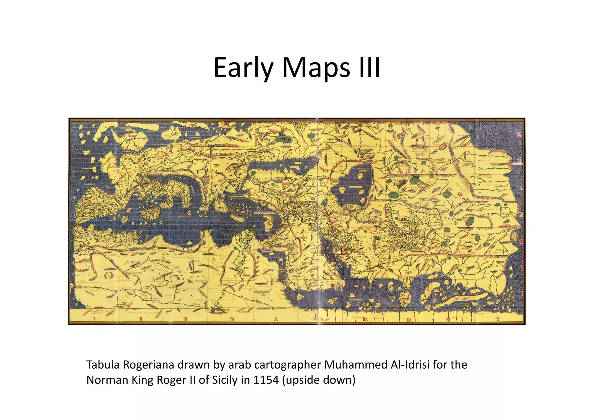
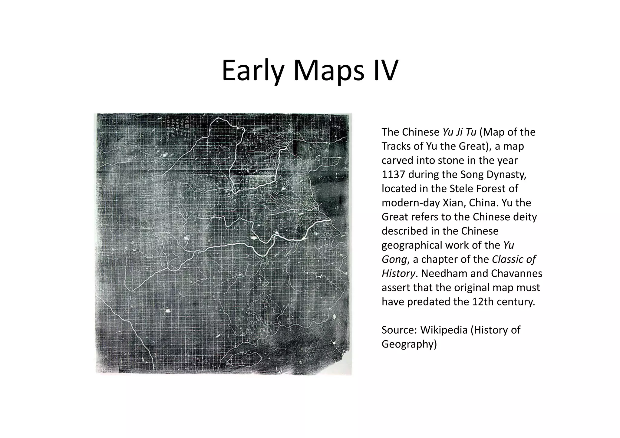
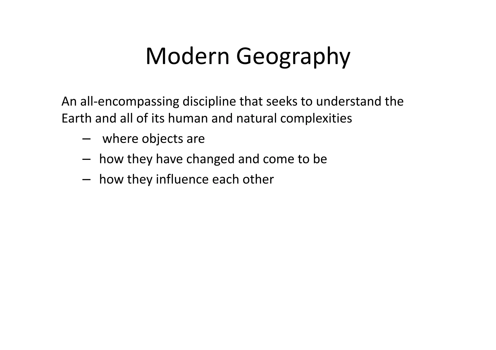
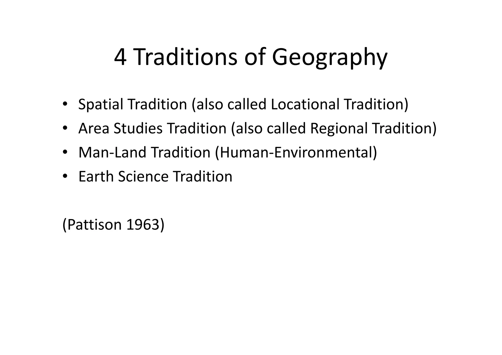
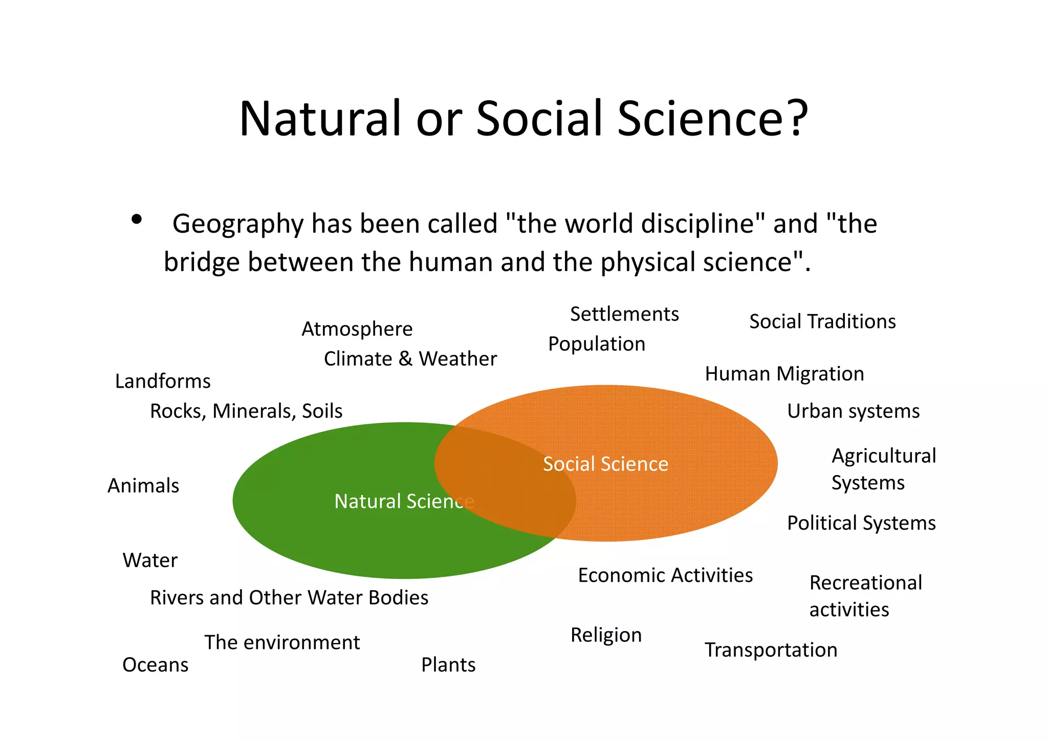
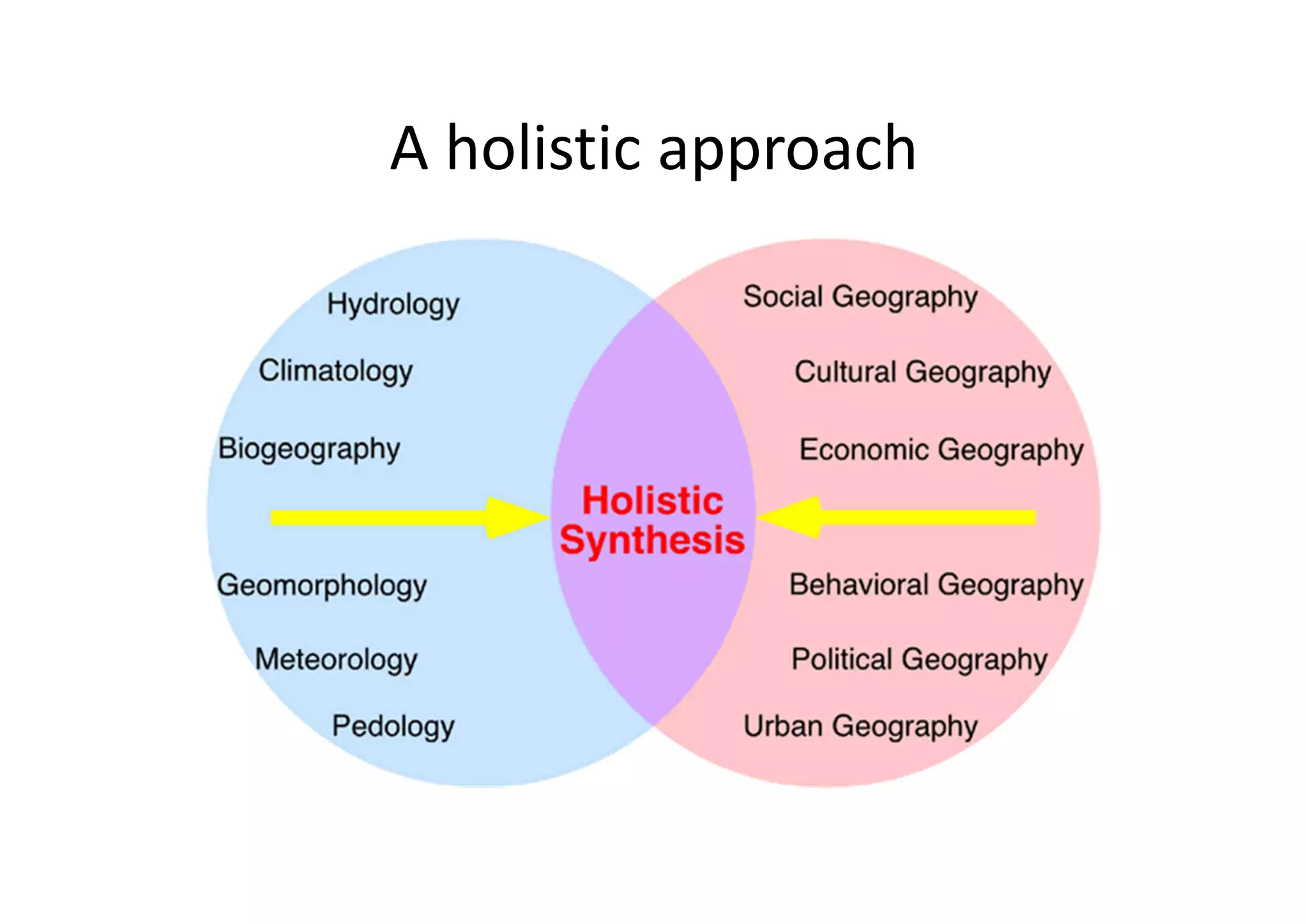
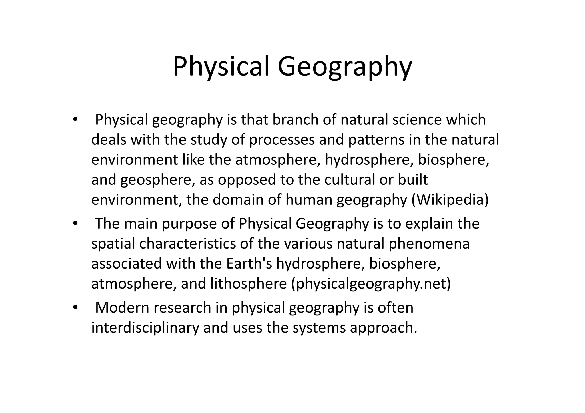
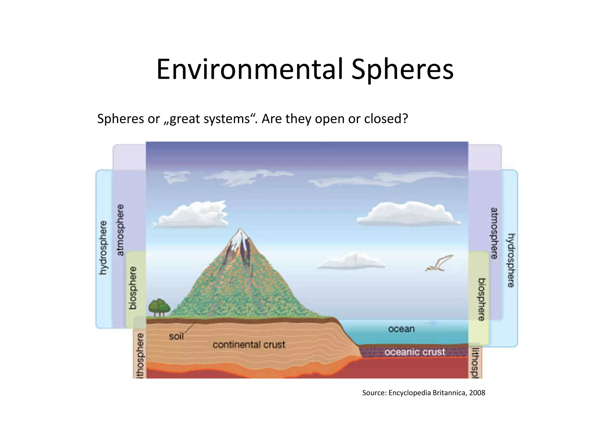
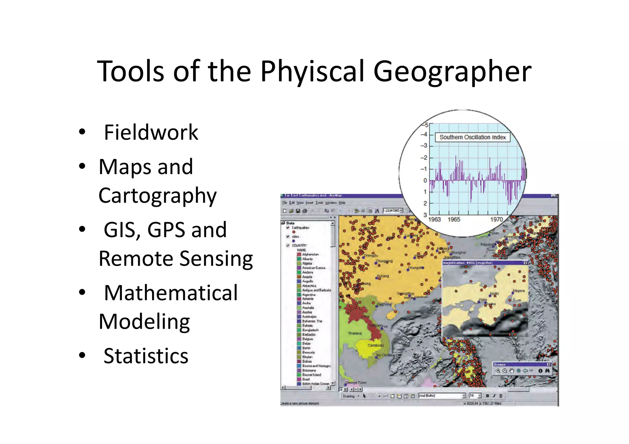

This document provides an introduction to a course on physical geography. It will include about 10 lessons of 90 minutes each that aim to provide a deeper understanding of how the Earth works and how physical geography influences humans. As a contribution, students will keep a physical geography journal summarizing relevant news stories from reputable sources. The course will define physical geography, briefly explore its history, and cover topics like the spherical earth, early maps, modern geography, and systems theory.


![Active learning methods in higher education [compatibility mode]](https://cdn.slidesharecdn.com/ss_thumbnails/activelearningmethodsinhighereducationcompatibilitymode-141110040033-conversion-gate02-thumbnail.jpg?width=640&height=640&fit=bounds)


![GEOGRAPHY-WPS-Office [Autosav.....ed].pptx](https://cdn.slidesharecdn.com/ss_thumbnails/geography-wps-officeautosaved-250309073130-b5d8c98e-thumbnail.jpg?width=640&height=640&fit=bounds)


![Vibe Coding vs. Spec-Driven Development [Free Meetup]](https://cdn.slidesharecdn.com/ss_thumbnails/vibecodingvsspecdrivendevelopment-251209105622-43f455e7-thumbnail.jpg?width=640&height=640&fit=bounds)

![Coded Agents – with UiPath SDK + LangGraph [Virtual Hands-on Workshop]](https://cdn.slidesharecdn.com/ss_thumbnails/codedagentsdeck-251215155422-5497c599-thumbnail.jpg?width=640&height=640&fit=bounds)


