Download as PDF, PPTX
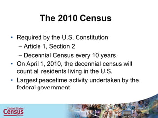
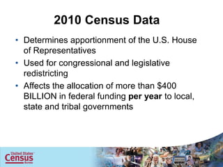
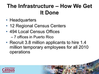
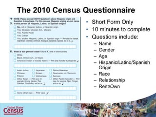
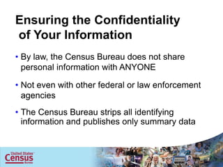
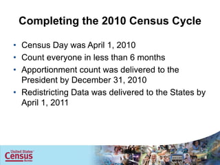

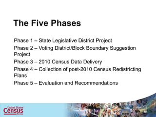
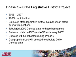
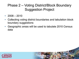
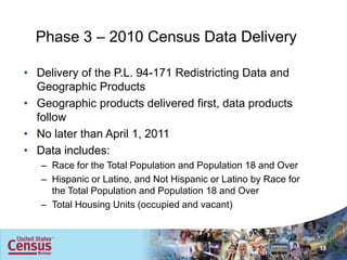
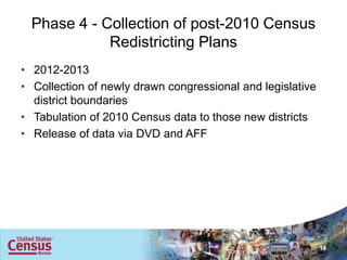
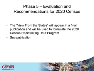
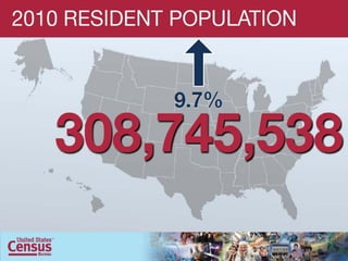

This document summarizes a census data boot camp covering topics like the 2010 census overview, geographic products and mapping census data, geographic concepts and programs, and the geographic support system initiative. It describes the 2010 census questionnaire, ensuring confidentiality of responses, and the five phases of the 2010 census redistricting data program which involves collecting state and local district boundary data to tabulate and deliver 2010 census results.


![Awareness of digital currency[1] (1).pptx](https://cdn.slidesharecdn.com/ss_thumbnails/awarenessofdigitalcurrency11-260125155504-b1badee4-thumbnail.jpg?width=640&height=640&fit=bounds)


