Download to read offline
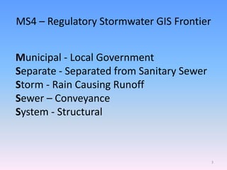
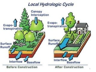
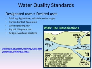
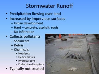
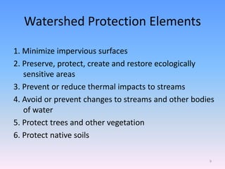

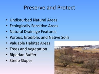

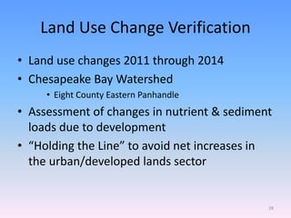
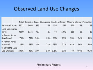
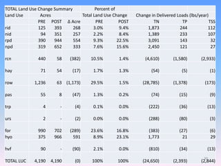

This document discusses stormwater management and GIS applications. It covers MS4 permit requirements, construction stormwater permits, ordinance compliance, flood management, and the Chesapeake Bay TMDL. The document provides information on using GIS to track best management practices (BMPs) to treat stormwater runoff and reduce pollutant loads. It also summarizes observed land use changes and their impacts on nutrient and sediment loads in the Chesapeake Bay watershed. Resources on stormwater design guidance, erosion and sediment control, and watershed protection are also referenced.


![1 ksa%20conference%202010%20 %20 mary%20kuo[1]](https://cdn.slidesharecdn.com/ss_thumbnails/1ksa20conference20201020-20mary20kuo1-100515121206-phpapp02-thumbnail.jpg?width=640&height=640&fit=bounds)


