Downloaded 5,017 times
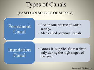
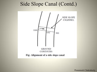
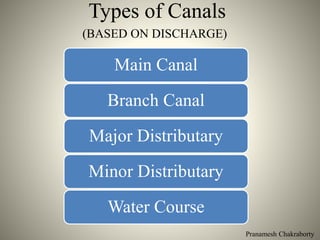
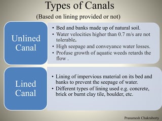
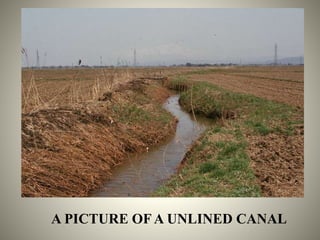
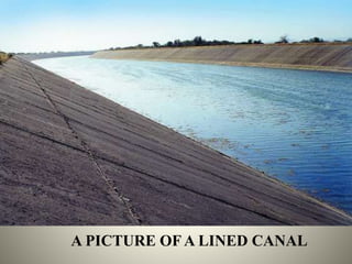


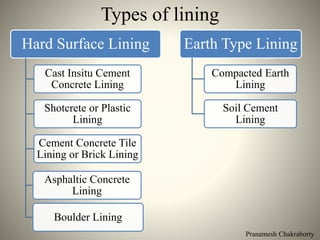
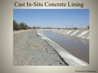


The document provides a comprehensive overview of various types of canals used for irrigation, navigation, and other purposes, categorized by their water supply sources, functions, alignment, discharge, and lining materials. It discusses features, construction considerations, and the management of water losses in canal systems, emphasizing the importance of canal design in effective irrigation. Additionally, the document details structural components such as side slopes, berms, and borrow pits, along with the benefits of lining canals to reduce water loss and enhance efficiency.


![canal_irrigation shshhshdjdjdjdjd[1].pptx](https://cdn.slidesharecdn.com/ss_thumbnails/canalirrigation1-250501055634-7c8c0305-thumbnail.jpg?width=640&height=640&fit=bounds)