Downloaded 12 times


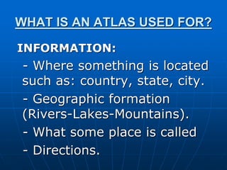
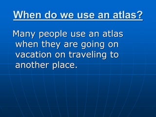
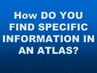

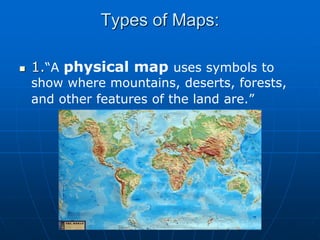
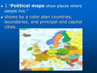


An atlas is a collection of maps arranged alphabetically or by location that provides information about places in the world. It can be used to find where locations are, geographic features like rivers and mountains, what places are called, and directions. People often use an atlas when traveling or going on vacation to an unfamiliar place. Specific information can be found using the table of contents, index, or keywords to locate the place. Atlases contain different types of maps like physical maps showing land features, political maps outlining countries and cities, and economic maps depicting industries and products of regions.