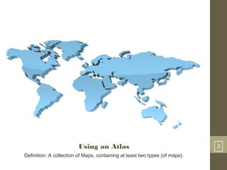
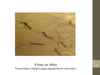
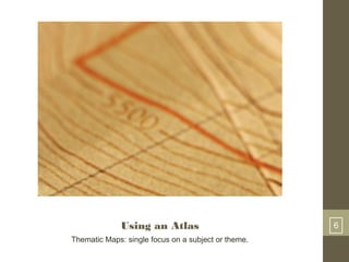
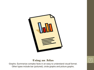
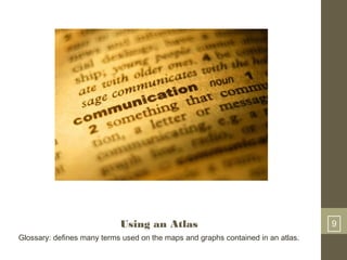
1 
Map Skills I 
Using an Atlas 
René M. Lafayette, M.Ed. 
6th Grade Social Studies 
Samoset Middle School 
1
Using an Atlas 2 
Question: What is an Atlas?
Using an Atlas 3 
Definition: A collection of Maps, containing at least two types (of maps).
Using an Atlas 4 
Physical Maps: highlights major, natural features of the region.
Using an Atlas 5 
Political Maps: highlight cities, countries and other political divisions.
Using an Atlas 6 
Thematic Maps: single focus on a subject or theme.
Using an Atlas 7 
Graphs: Summarize complex facts in an easy to understand visual format. 
Other types include bar (pictured), circle graphs and picture graphs.
Using an Atlas 8 
Map keys: elevations, growning seasons, land uses.
Using an Atlas 9 
Glossary: defines many terms used on the maps and graphs contained in an atlas.
Using an Atlas 9 
Glossary: defines many terms used on the maps and graphs contained in an atlas.

Map Skills I: Using An Atlas

  • 1.
    1 Map SkillsI Using an Atlas René M. Lafayette, M.Ed. 6th Grade Social Studies Samoset Middle School 1
  • 2.
    Using an Atlas2 Question: What is an Atlas?
  • 3.
    Using an Atlas3 Definition: A collection of Maps, containing at least two types (of maps).
  • 4.
    Using an Atlas4 Physical Maps: highlights major, natural features of the region.
  • 5.
    Using an Atlas5 Political Maps: highlight cities, countries and other political divisions.
  • 6.
    Using an Atlas6 Thematic Maps: single focus on a subject or theme.
  • 7.
    Using an Atlas7 Graphs: Summarize complex facts in an easy to understand visual format. Other types include bar (pictured), circle graphs and picture graphs.
  • 8.
    Using an Atlas8 Map keys: elevations, growning seasons, land uses.
  • 9.
    Using an Atlas9 Glossary: defines many terms used on the maps and graphs contained in an atlas.
  • 10.
    Using an Atlas9 Glossary: defines many terms used on the maps and graphs contained in an atlas.