Downloaded 68 times
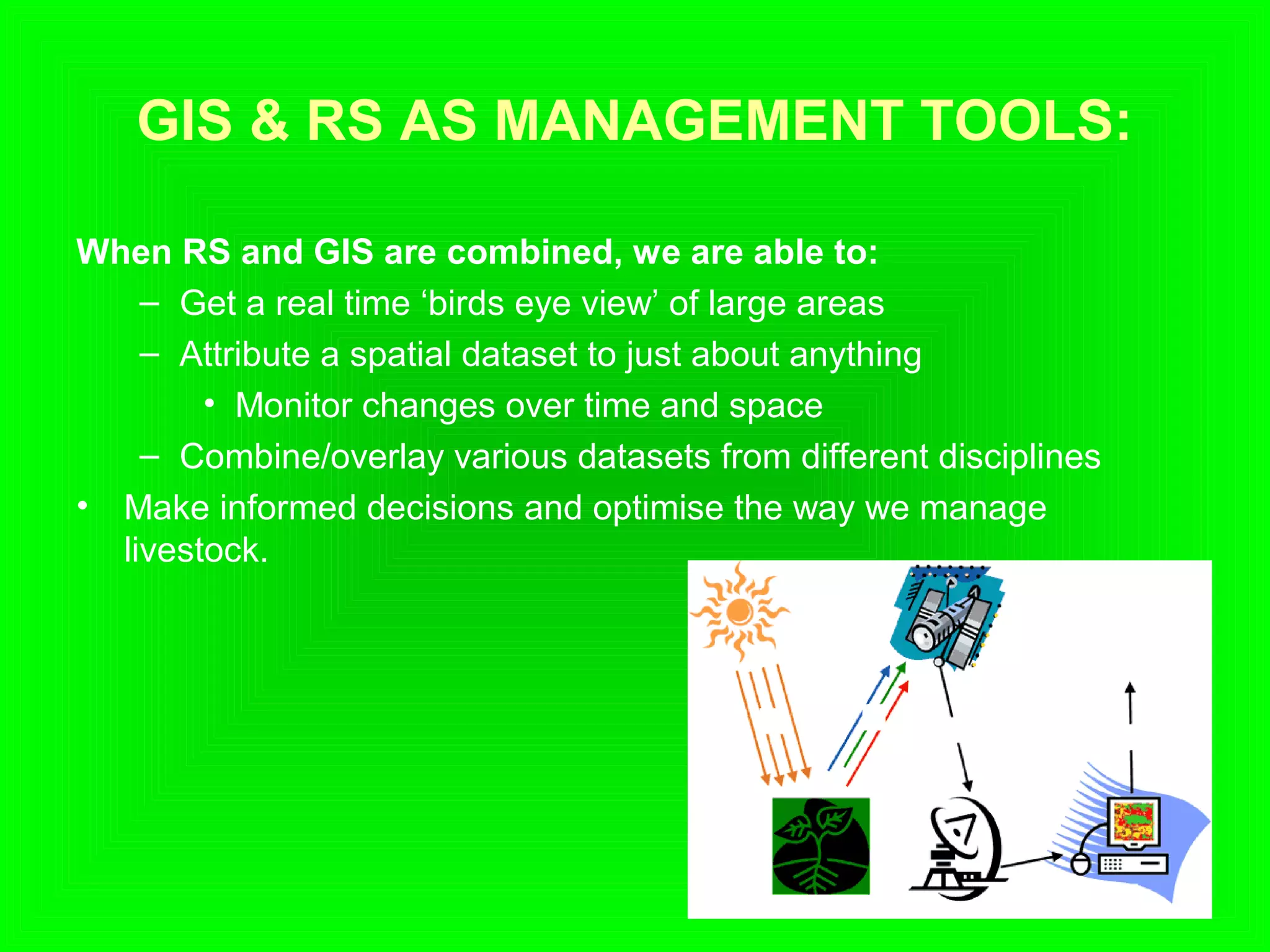


The document discusses the applications of remote sensing and geographic information systems (GIS) technologies in livestock management, highlighting their roles in tracking livestock, improving grazing distribution, and disease monitoring. It outlines how GIS and remote sensing can provide real-time data, analyze spatial relationships, and contribute to informed decision-making in livestock management. The document concludes that while these technologies offer valuable insights, careful evaluation of information needs and potential costs is essential for effective implementation.


