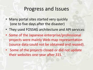
Downloaded 16 times
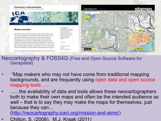
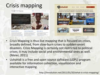
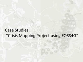
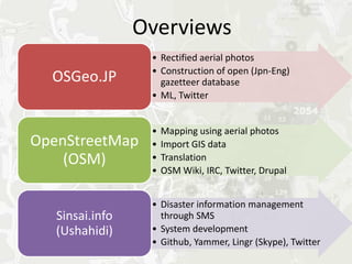
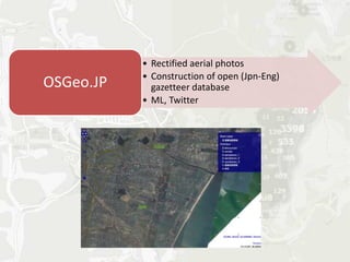
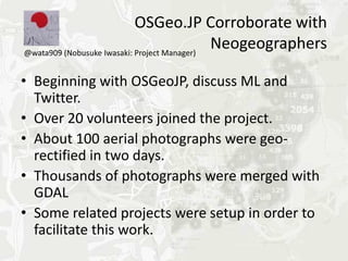
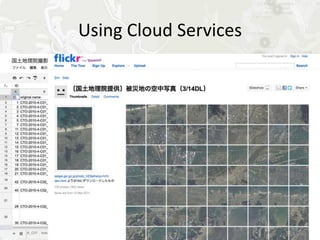
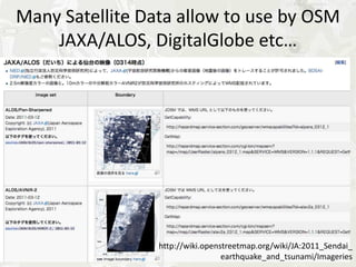
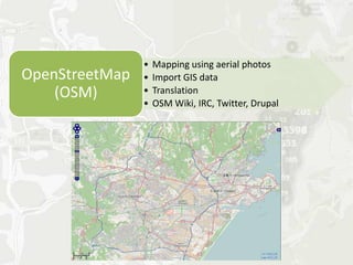
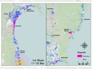
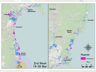
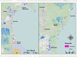
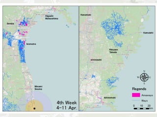
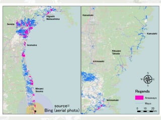
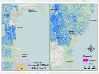
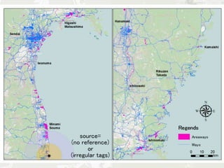
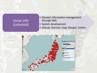
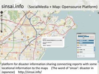
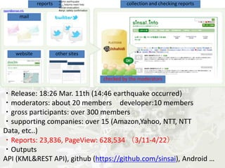


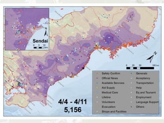
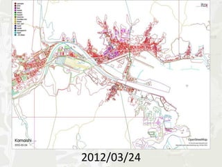
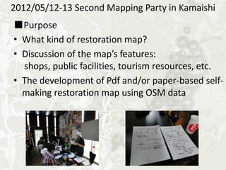
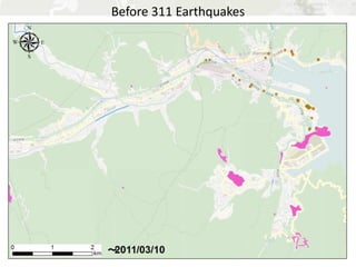
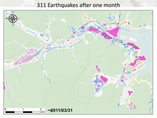
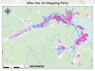
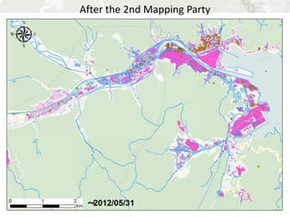
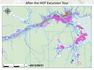

1) The presenter discussed the role of neogeography and volunteered geographic information (VGI) in crisis mapping during and after the 2011 Tohoku earthquake and tsunami in Japan. 2) Case studies were presented on how OpenStreetMap and Ushahidi's Sinsai.info platform were used to collect and map crowdsourced geographic information from social media to support relief efforts. 3) Long-term efforts included creating detailed restoration maps of affected areas through mapping parties and fieldwork with local residents to document rebuilding progress over time.


