Download to read offline
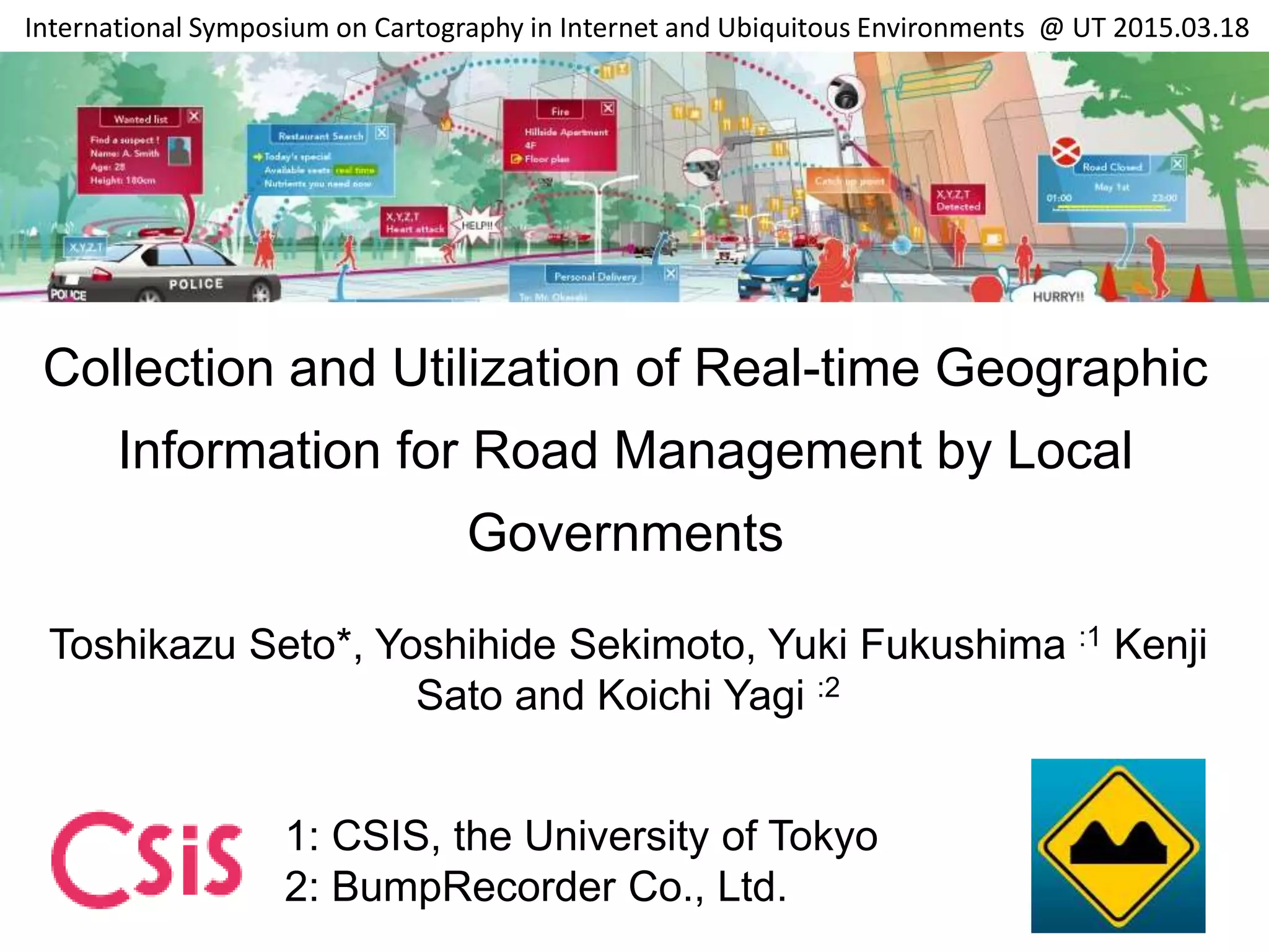
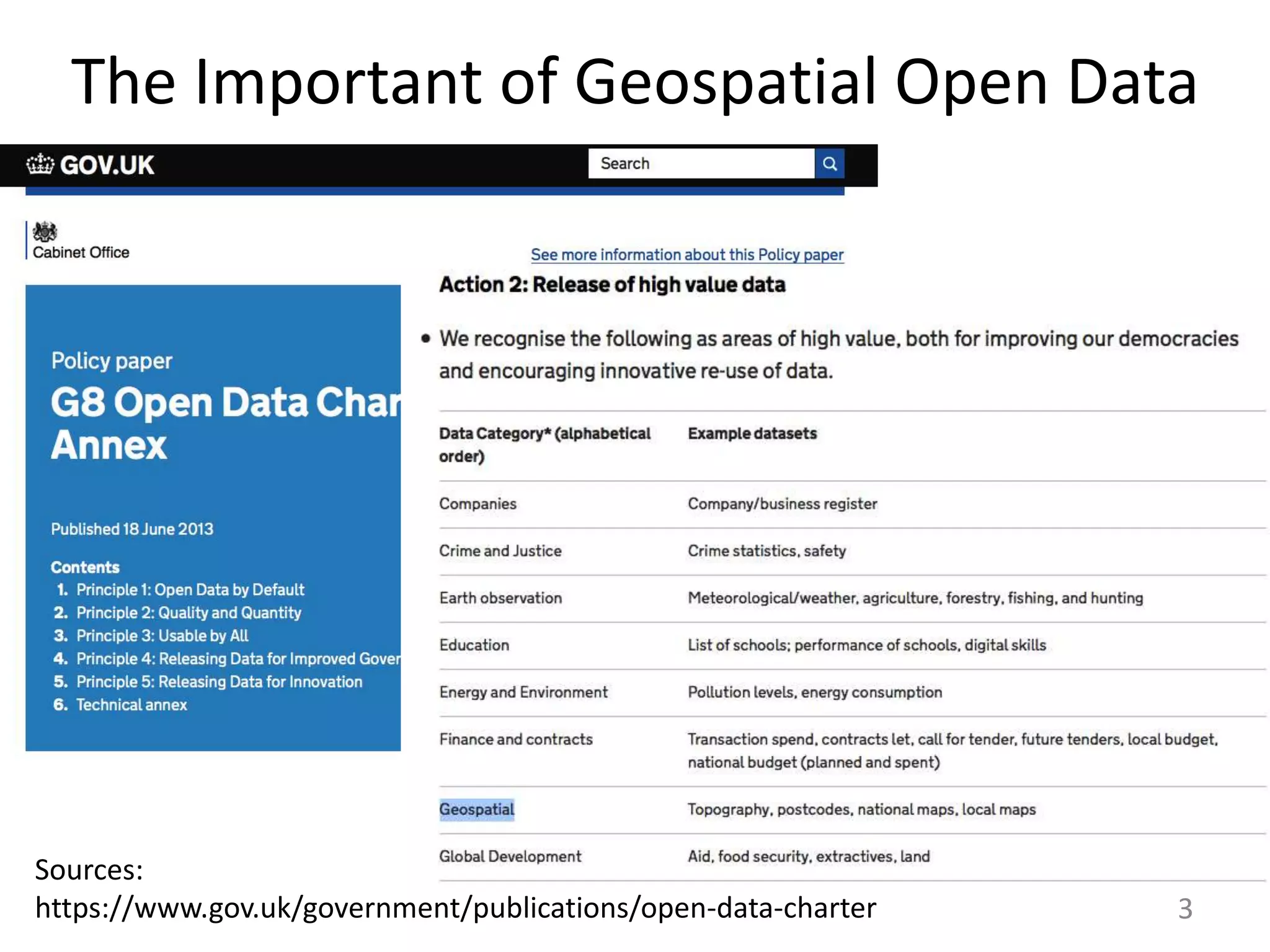
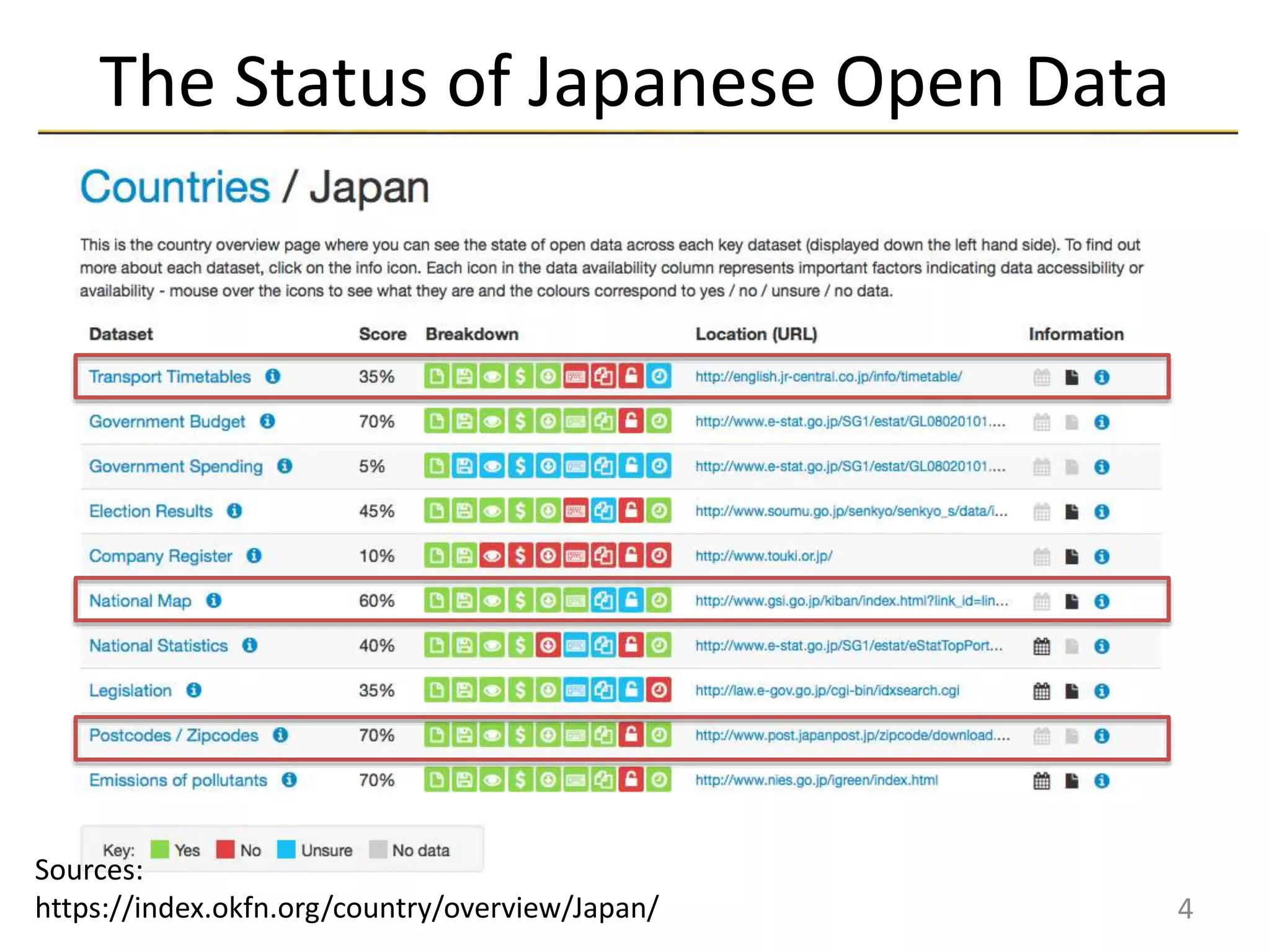
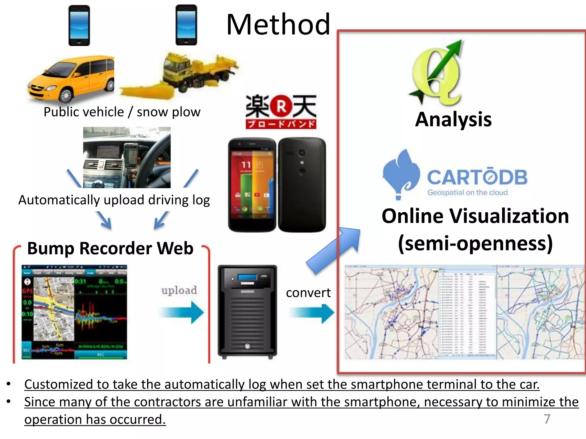
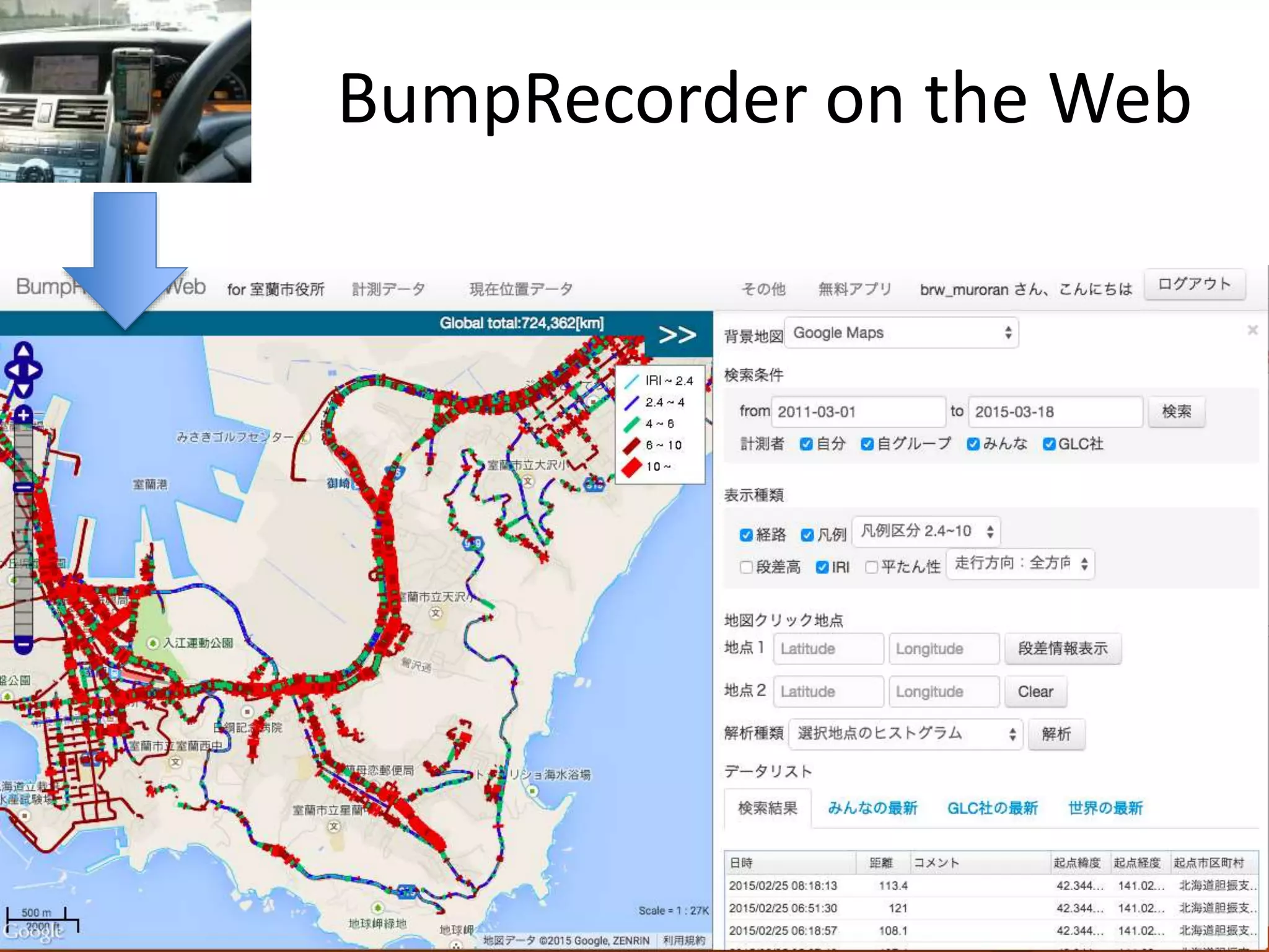
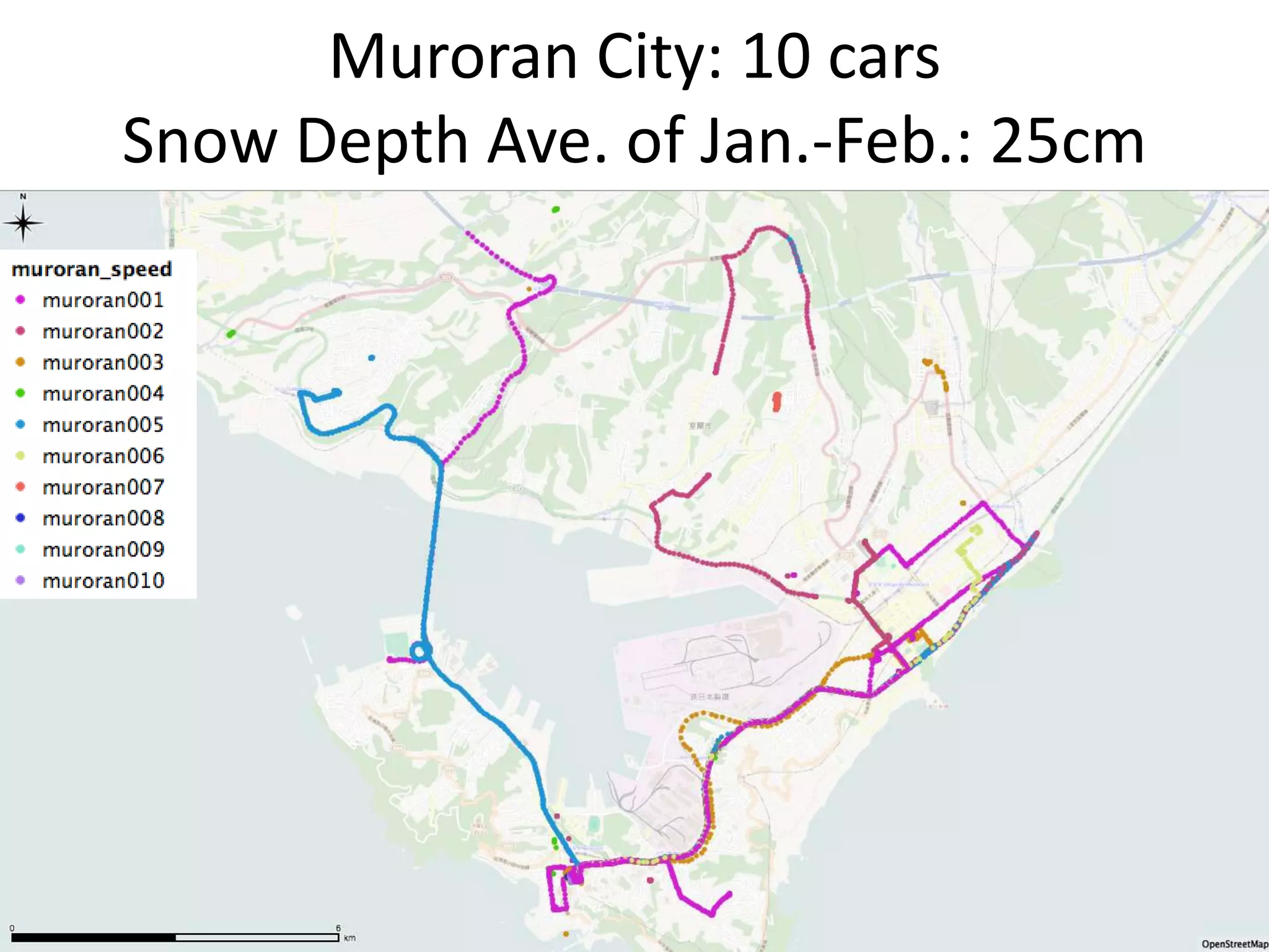

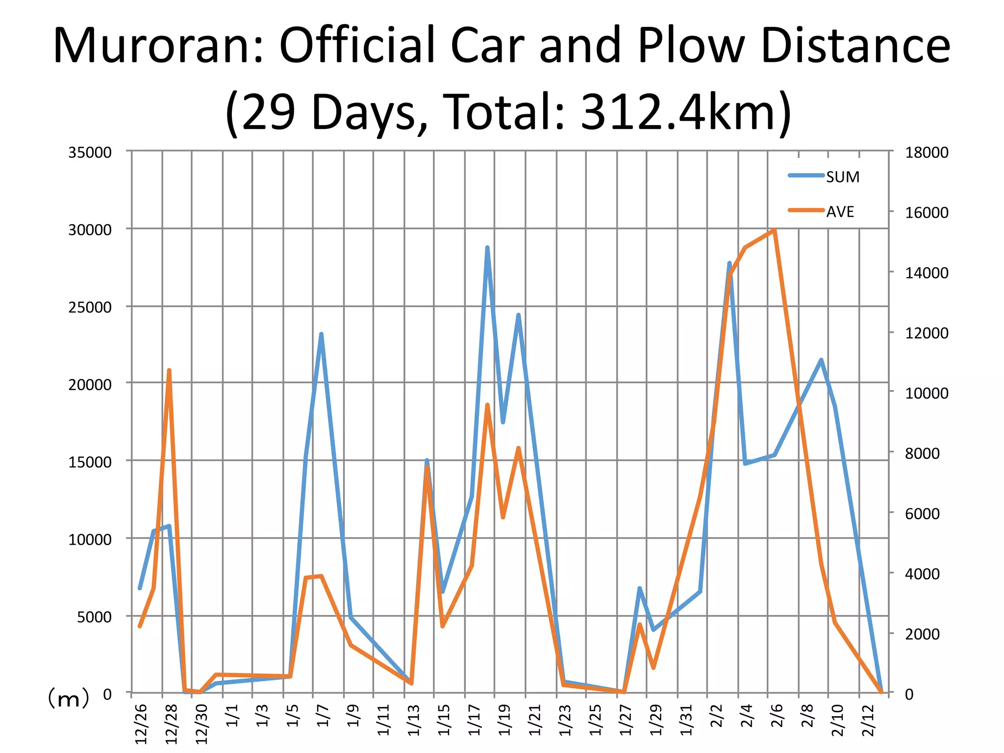
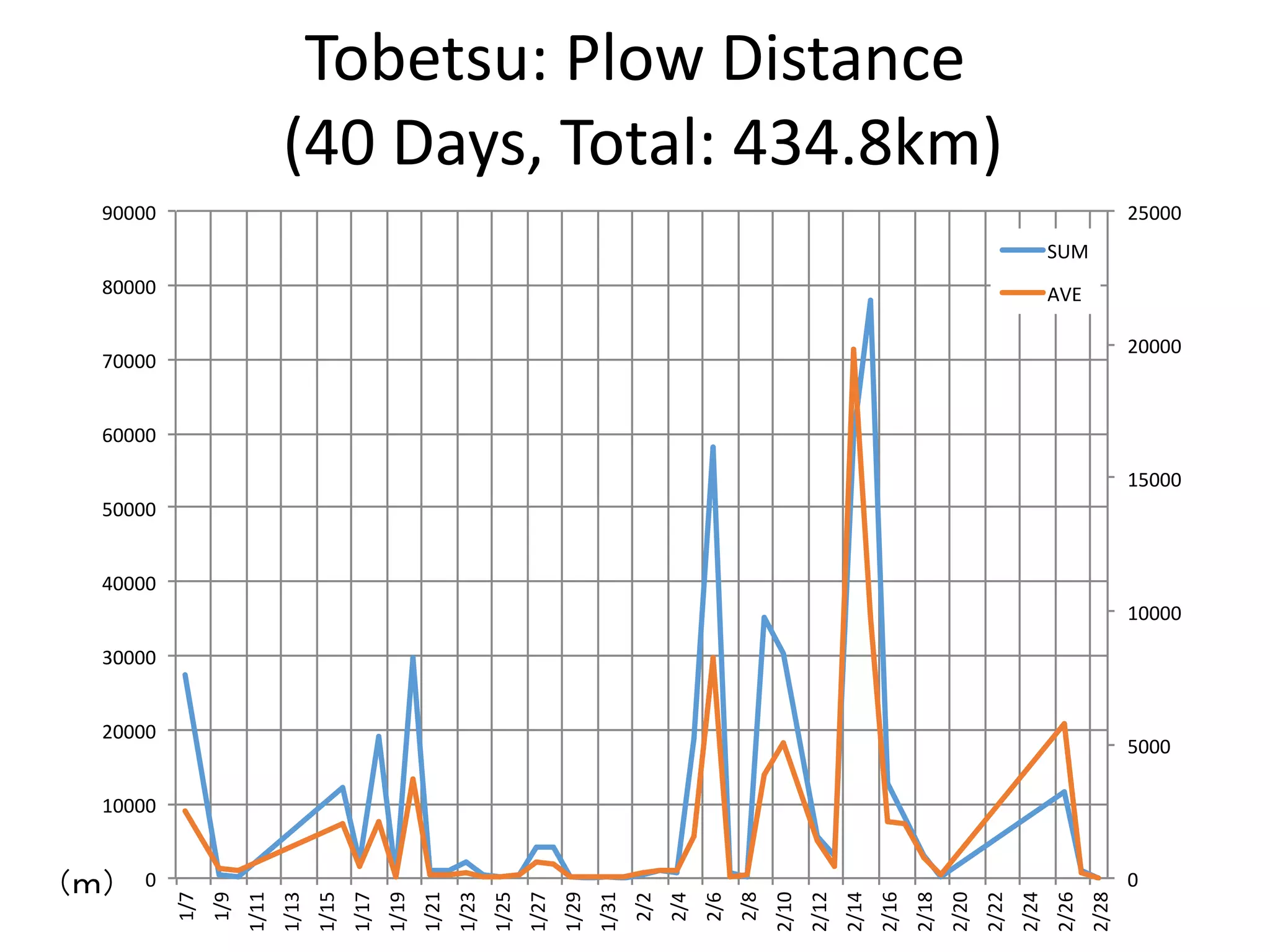
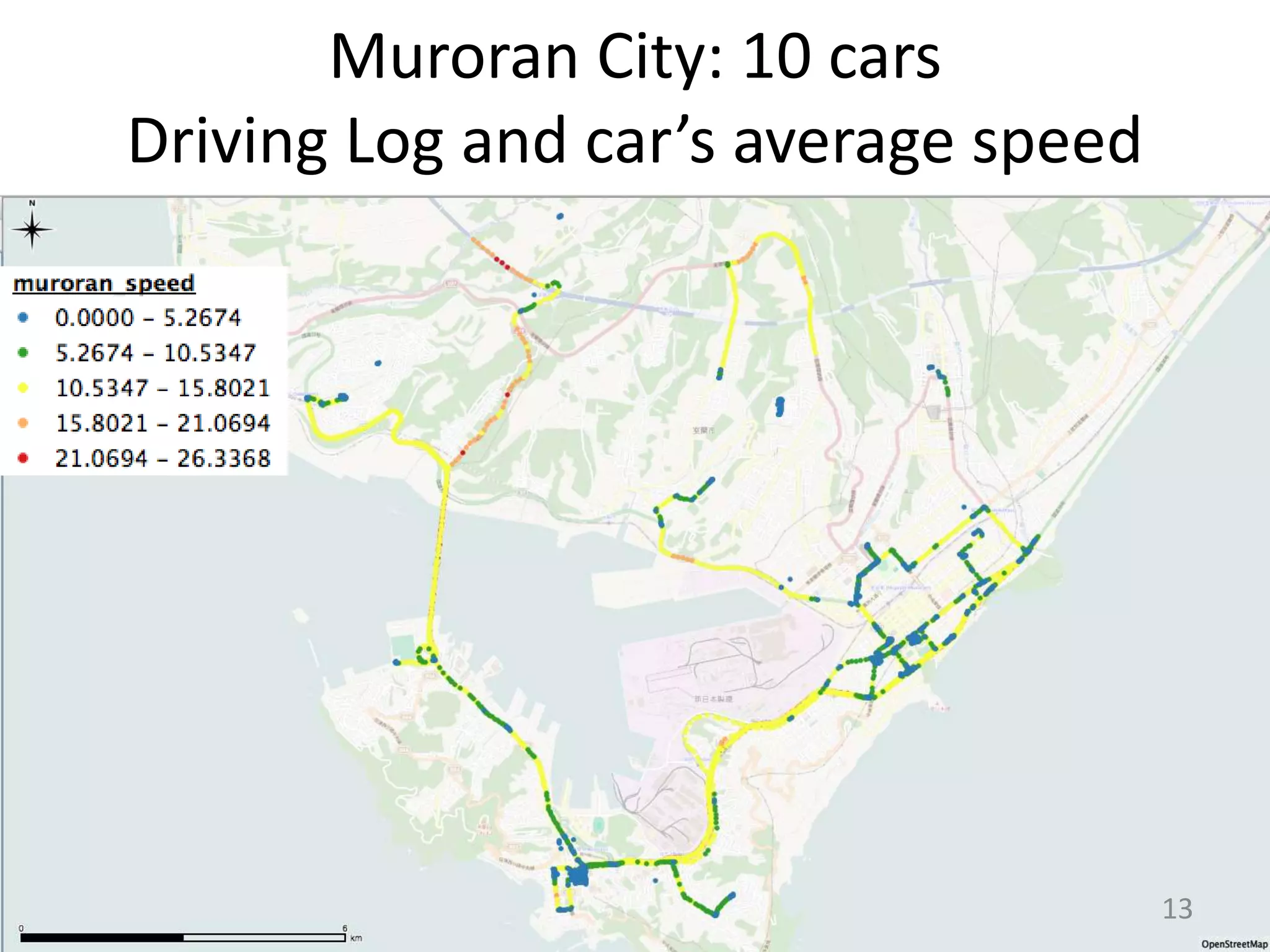
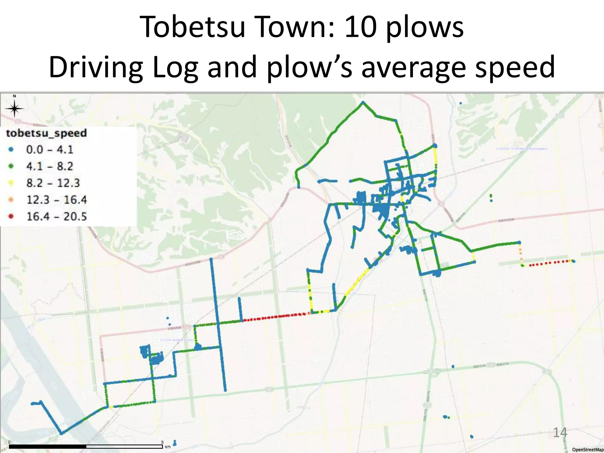
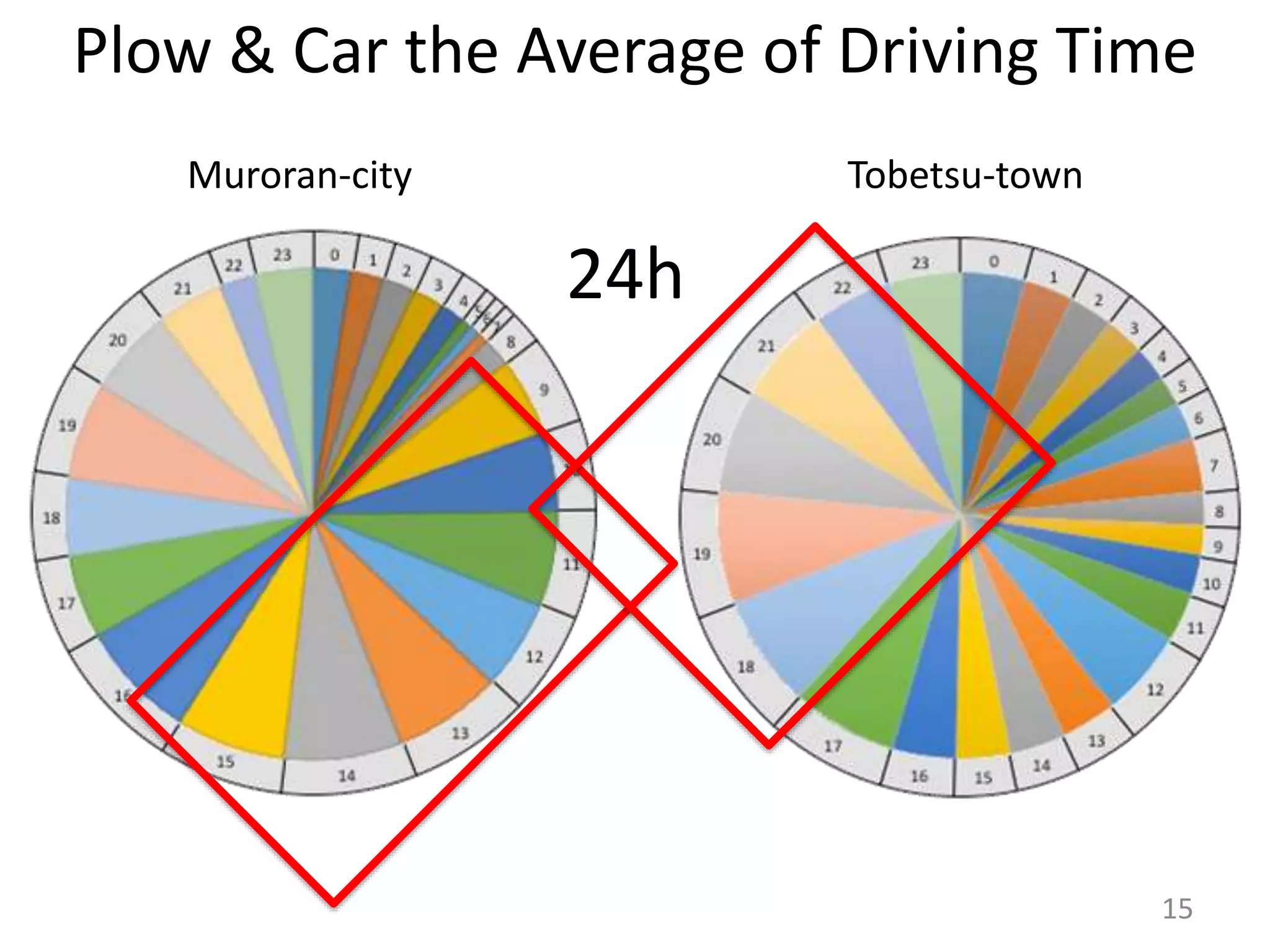
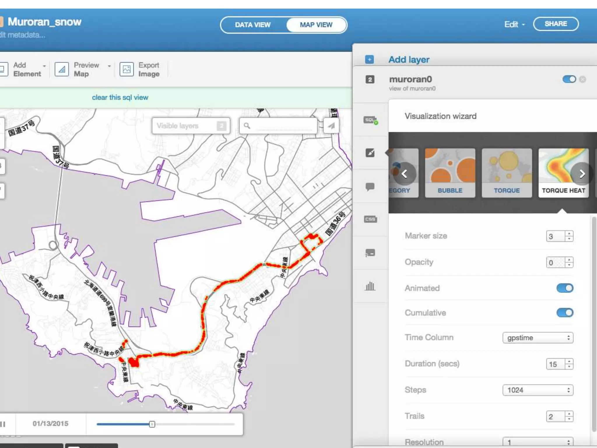
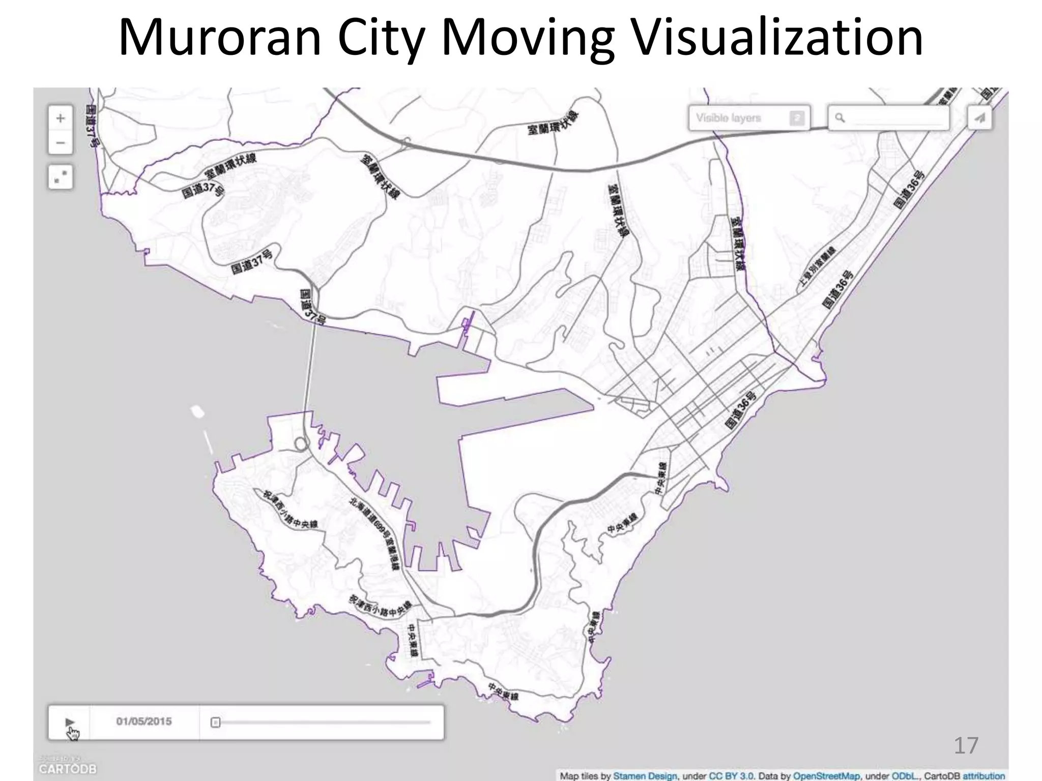
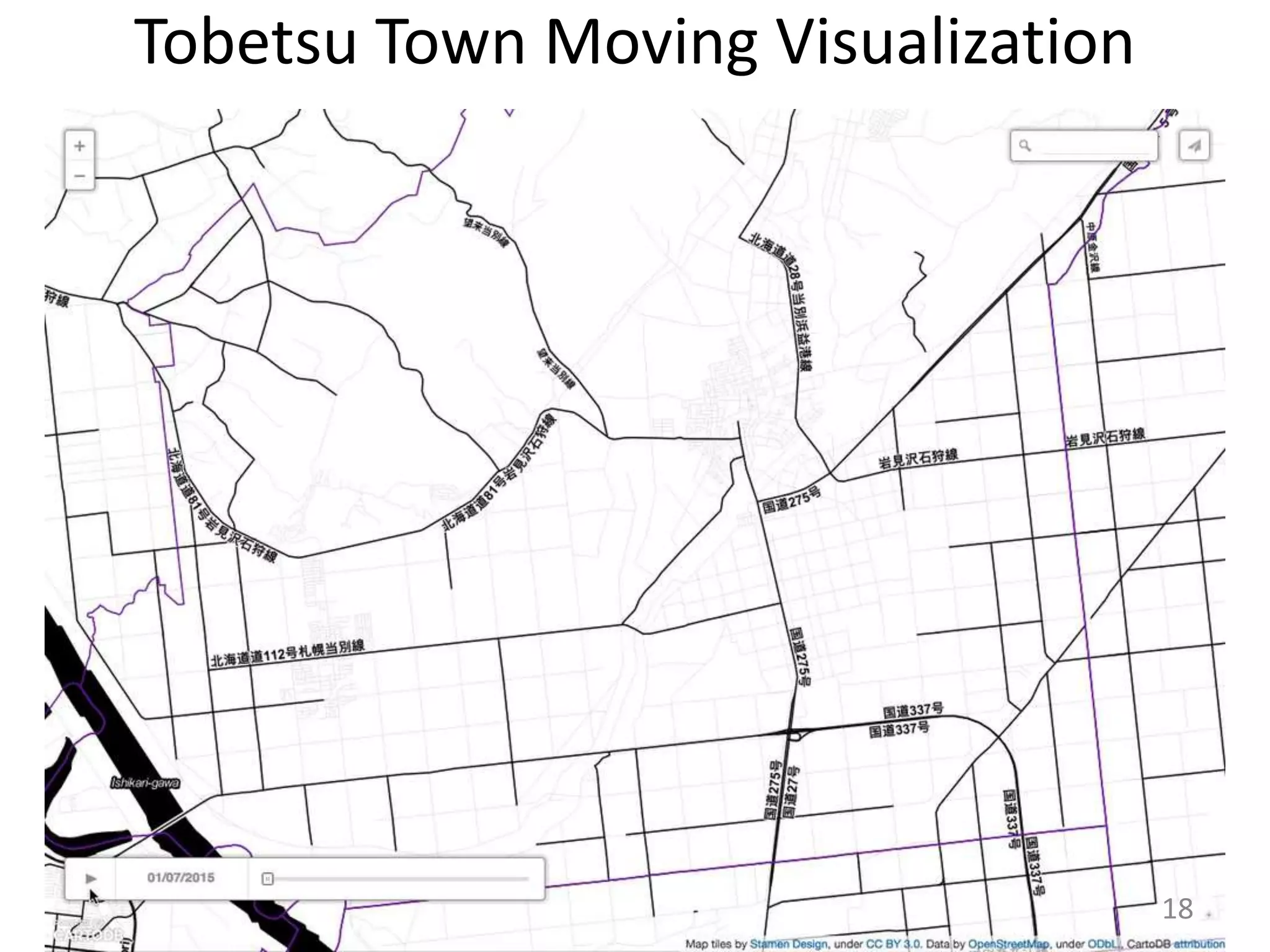
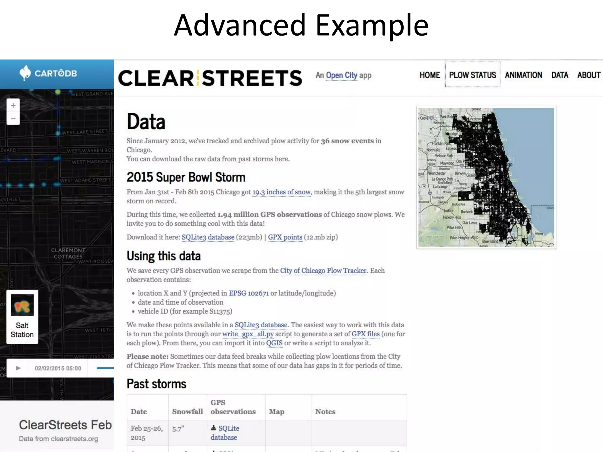

This document discusses a study conducted in Japan to collect and utilize real-time geographic information from local government vehicles like snow plows. Researchers equipped vehicles with smartphones running an app to automatically log driving data like location, speed and time. This data was uploaded and visualized online. The study aimed to test using open-source mapping and apps to support local governments. It conducted case studies in two cities, tracking snow plow distances and times. While challenges remained, the goal was to achieve cooperation between governments and residents by making such real-time geographic data more open and accessible.


