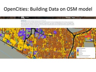
Download to read offline

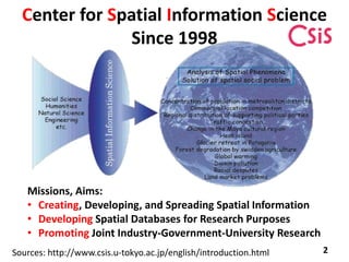
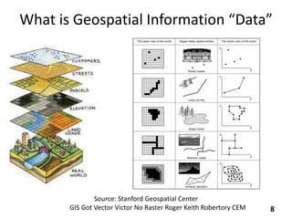
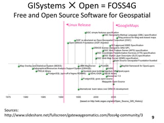
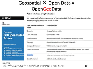
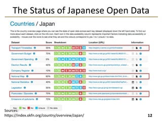
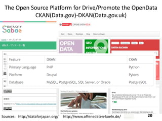
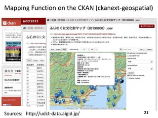
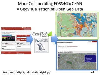
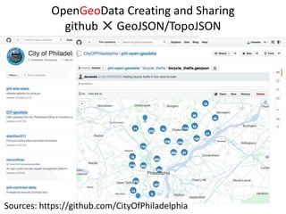

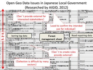

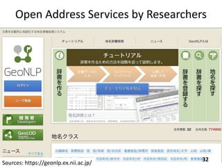
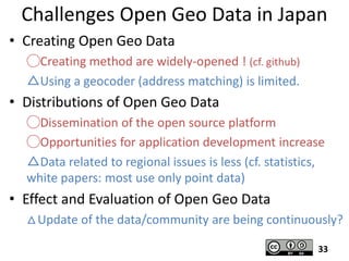


1) The document discusses open data and open platforms for geospatial information. It provides an overview of the Center for Spatial Information Science and their work in developing spatial databases and promoting joint research. 2) It then covers trends in neogeography, volunteered geographic information, and citizens as sensors. Examples are given of open data projects in Japan that address regional issues through open data and platforms. 3) Challenges of open geospatial data in Japan are discussed, such as limited address geocoding capabilities and lack of regional issue data. The increasing opportunities for application development through open data platforms are also noted.