

![Contact Us Douglas J. Joubert, MS, MLIS National Institutes of Health Library Information Architecture Branch Phone: 301-594-6282 E-mail: [email_address] LinkedIn: http://www.linkedin.com/in/douglasjoubert Twitter: http://twitter.com/doujouDC Cindy Clark, MSLS National Institutes of Health Library Information & Education Services Branch Phone: 301-496-2186 E-mail: [email_address] http://nihlibrary.nih.gov DIVISION OF LIBRARY SERVICES OFFICE OF RESEARCH SERVICES NATIONAL INSTITUTES OF HEALTH U.S. DEPARTMENT OF HEALTH AND HUMAN SERVICES](https://image.slidesharecdn.com/2010iclc03-100317162720-phpapp01/85/2010-Intelligence-Community-Library-Consortium-Meeting-25-320.jpg)

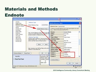
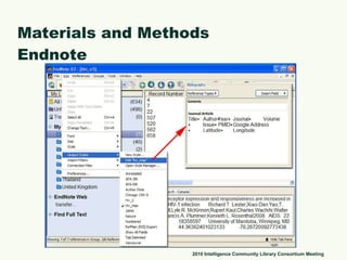
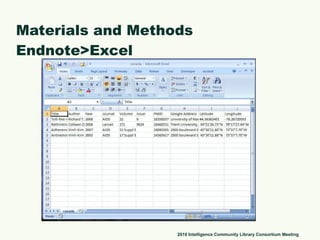
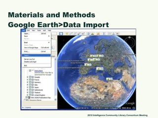
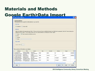
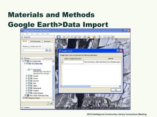
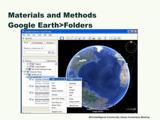
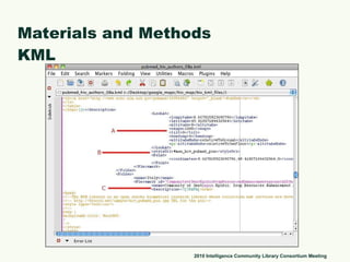
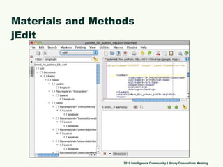
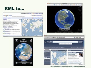
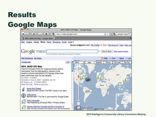
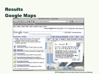
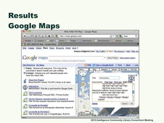
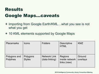
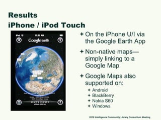
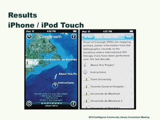
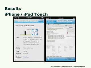
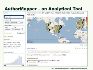
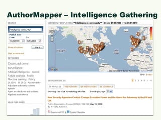
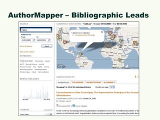
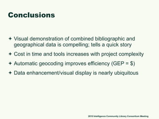
The document describes a project to visualize bibliographic data from an Endnote library on HIV therapy research geographically using Google Earth. Bibliographic records were enhanced with author institution location data and imported into Google Earth to map the global distribution of HIV therapy research. The visualization was compelling and told a quick story about the data. However, complexity and tools required increase with larger projects.