


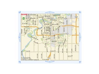
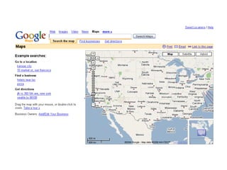
![<!DOCTYPE html PUBLIC "-//W3C//DTD XHTML 1.0 Strict//EN" "http://www.w3.org/TR/xhtml1/DTD/xhtml1-strict.dtd"> <html xmlns="http://www.w3.org/1999/xhtml"> <head> <meta http-equiv="content-type" content="text/html; charset=utf-8"/> <title>Google Maps JavaScript API Example</title> <script src="http://maps.google.com/maps?file=api&v=2&key=abcdefg" type="text/javascript"></script> <script type="text/javascript"> //<![CDATA[ function load() { if (GBrowserIsCompatible()) { var map = new GMap2(document.getElementById("map")); map.setCenter(new GLatLng(37.4419, -122.1419), 13); } } //]]> </script> </head> <body onload="load()" onunload="GUnload()"> <div id="map" style="width: 500px; height: 300px"></div> </body> </html> Google Maps JavaScript](https://image.slidesharecdn.com/popular-gis-1853/85/Popular-GIS-47-320.jpg)


![http://en.wikipedia.org/wiki/Marshall_McLuhan ...[I]f a new technology extends one or more of our senses outside us into the social world, then new ratios among all of our senses will occur in that particular culture. It is comparable to what happens when a new note is added to a melody. And when the sense ratios alter in any culture then what had appeared lucid before may suddenly become opaque, and what had been vague or opaque will become translucent. - The Gutenburg Galaxy](https://image.slidesharecdn.com/popular-gis-1853/85/Popular-GIS-76-320.jpg)
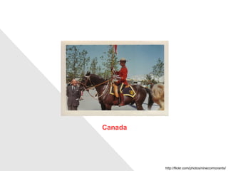
![Popular GIS Chris Hammond-Thrasher USP Library < [email_address] > < [email_address] > March 2007](https://image.slidesharecdn.com/popular-gis-1853/85/Popular-GIS-77-320.jpg)

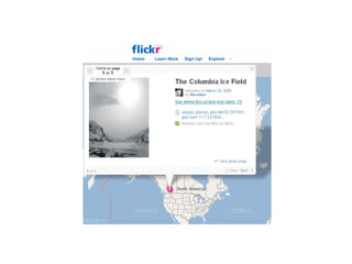
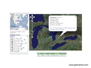
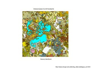
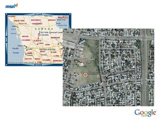
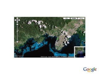
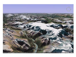
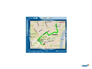
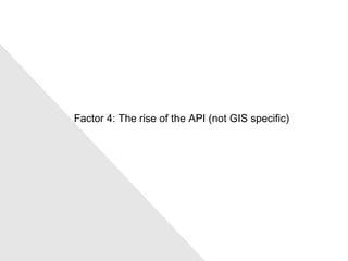
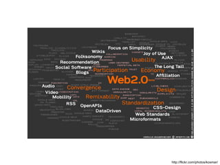
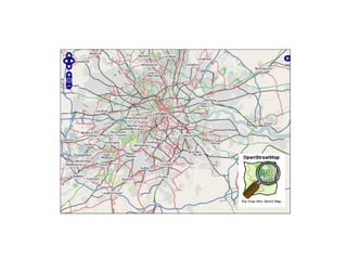
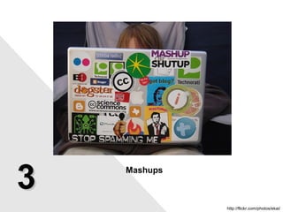
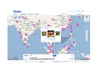
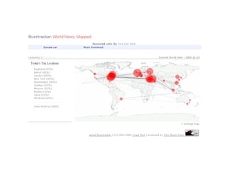
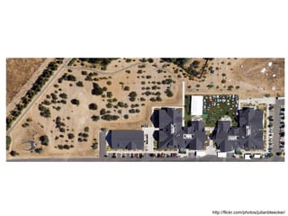
The document discusses the evolution of popular GIS (Geographic Information Systems) through various influences such as social factors, the rise of APIs, and the emergence of collaborative databases. It highlights the accessibility of spatial data and consumer GPS technologies, alongside referencing examples from digital culture. Additionally, it touches upon the implications of new technology on sensory perceptions in society, referencing Marshall McLuhan's theories.


![Creating User Friendly Joomla! Websites and Forms [English]](https://cdn.slidesharecdn.com/ss_thumbnails/tpjab12usability-120521050559-phpapp01-thumbnail.jpg?width=640&height=640&fit=bounds)