Road Network heirarchy of Ahmedabad
•Download as PPTX, PDF•
3 likes•1,903 views

The presentation is a brief introduction to the road network of Ahmedabad comprising of terminals, nodes, arterial, sub-arterial, collector and local roads. It also provides an intersection detail of Paldi circle as one case study.

Recommended
More Related Content
What's hot
What's hot (20)
Similar to Road Network heirarchy of Ahmedabad
Similar to Road Network heirarchy of Ahmedabad (20)
Recently uploaded
Recently uploaded (20)
Road Network heirarchy of Ahmedabad
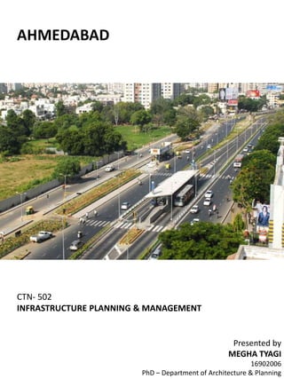
- 1. AHMEDABAD CTN- 502 INFRASTRUCTURE PLANNING & MANAGEMENT Presented by MEGHA TYAGI 16902006 PhD – Department of Architecture & Planning
- 2. Land- Use Plan AHMEDABAD Ahmedabad has grown in form of circular rings around the walled city area which is traditional central business district. The street network evolved historically as ring-radial form, comprising of 5 rings and 19 well defined radials; 11 in the west and 8 in the east.
- 3. Road-Network AHMEDABAD LEGEND • National Highway • State highway • Arterial road • Sub- Arterial road • Collector road • Local street • Railway line • Sabarmati river • National expressway
- 4. AHMEDABAD Road-Network + terminals & nodes LEGEND • National Highway • State highway • Arterial road • Sub- Arterial road • Collector road • Local street • Railway station • BRTS Station • Railway line • Sabarmati river
- 6. Paldi- circle- land use plan AHMEDABAD COMMERCIAL ZONE, C-1 RESIDENTIAL ZONE, R-1(A) RESIDENTIAL ZONE, R-1(B) LEGEND RESIDENTIAL ZONE, R-2 GAMTAL ROAD WATER RECREATION_PARKS+GARDENS RIVER
- 7. Paldi- circle- Road network hierarchy AHMEDABAD
- 8. Paldi- circle- intersection detail Arterial road- 42 ROW AHMEDABAD LEGEND • Vehicular movement • Bus movement • Pedestrian movement • Vehicular conflict points • Vehicular-pedestrian conflict points Paldi bus stand Udipi cafe Kasturi dining ha S Maheshwari tours & travels Bhawani chai Ahmedabad Municipal corporation 7 m 9 m9 m5 m 5 m2.5 m2.5 m 1 m 1 m 42 m ROW BRTS Carriage way Service roadService road Carriage way