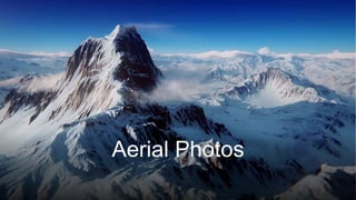
Aerial photographs show what land looks like from above, taken either from airplanes or satellites. Vertical photographs provide overhead views of most places in the world using software like Google Earth. These photos allow identification of both physical and human geographical features, as well as different land uses such as buildings, roads, fields, and industry in urban areas like Southampton near the coast.
6. Vertical
Photographs
• You can use maps and photos like
these to identify both physical and
human geographical features.
• It is also possible to identify different
land uses, such as buildings, roads,
fields and industry.
8. Southampton
• The city is near the coast.
• It is a built-up area and most of the land is used for housing and industry.
• Towns and cities like this are called urban areas.