Download as PDF, PPTX
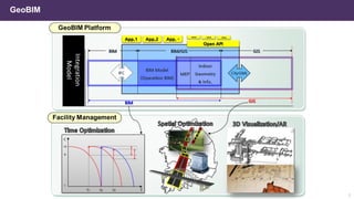

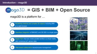
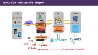
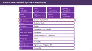

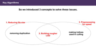
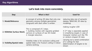
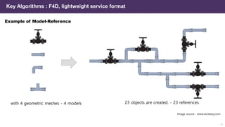
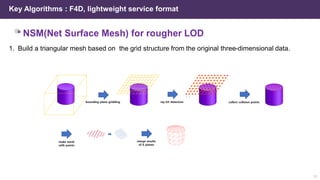
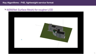
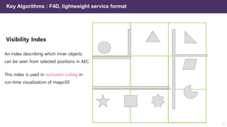
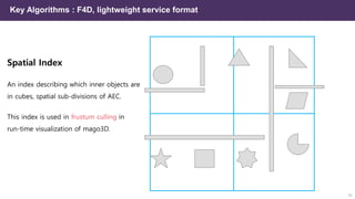
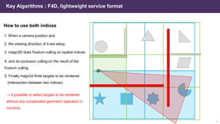
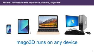
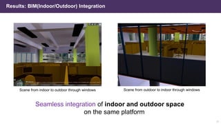
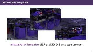

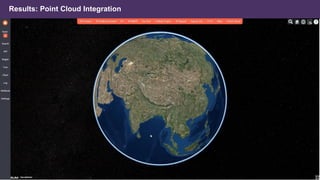
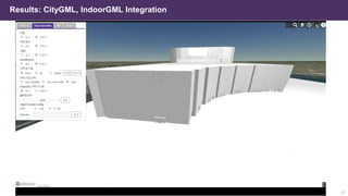
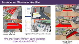
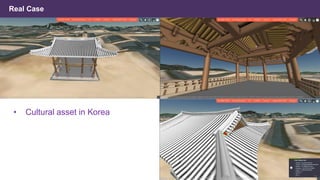
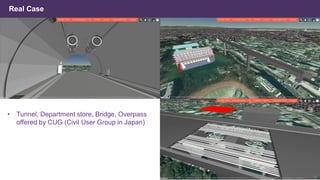


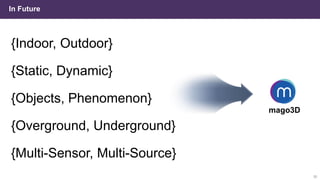

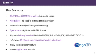


Mago3D is an open-source web-based platform designed for visualizing complex 3D objects, including BIM, seamlessly integrating AEC and 3D GIS. It features a lightweight service format for reducing data size and improving rendering speed, accommodating large-scale models and complex data. Ultimately, Mago3D aims to serve as a digital twin platform, enabling real-time understanding and visualization of both indoor and outdoor environments.


![[벤틀리시스템즈코리아 사용자세미나]세슘(Cesium) 제품과 디지털트윈 구현 사례](https://cdn.slidesharecdn.com/ss_thumbnails/gaia3dcesiumintroductionusecase1029-241104081234-24208b36-thumbnail.jpg?width=640&height=640&fit=bounds)


![5G Explained! A High Level Overview [Introduction]](https://cdn.slidesharecdn.com/ss_thumbnails/5gexplainedahighleveloverview-260119165306-cc137a3e-thumbnail.jpg?width=640&height=640&fit=bounds)


