Download as PDF, PPTX
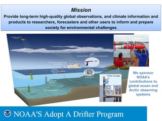
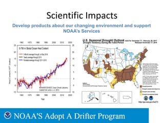
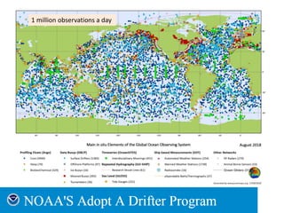
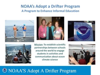
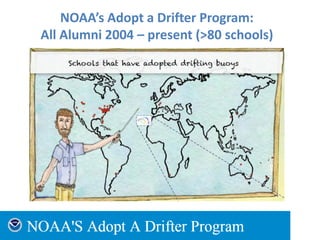
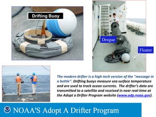
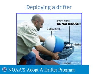
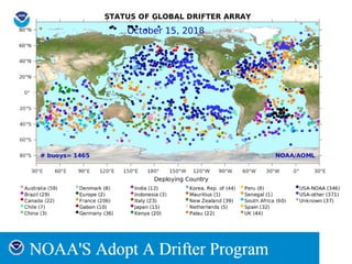
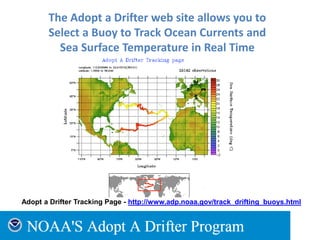
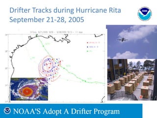
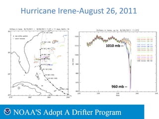
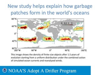
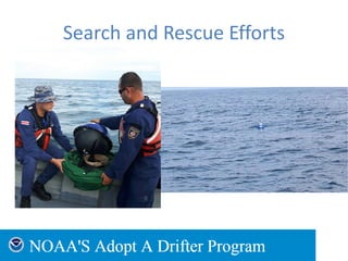


NOAA's Ocean Observing and Monitoring Division works to provide global ocean observations and climate data products through programs like Adopt a Drifter and Argo floats. The Adopt a Drifter Program partners with schools around the world to track drifting buoys in real-time and engage students in ocean science. Through over 1 million daily observations, these tools help monitor ocean currents, temperatures, and other variables to further understanding of our changing oceans and support NOAA's climate services.


![Beach slopes from satellite-derived shorelines [Coast2Coast presentation]](https://cdn.slidesharecdn.com/ss_thumbnails/coast2coastkvosslideshare-200513061851-thumbnail.jpg?width=640&height=640&fit=bounds)


