The document discusses the role of information technology (IT) in environmental management, highlighting the establishment of the Environmental Information System (ENVIS) by the Indian government in 1982. It covers various applications of IT, including Geographic Information Systems, Google Earth, and robotics in environmental research and disaster management. The document emphasizes the integration of technology in analyzing environmental data and enhancing awareness of ecological issues.
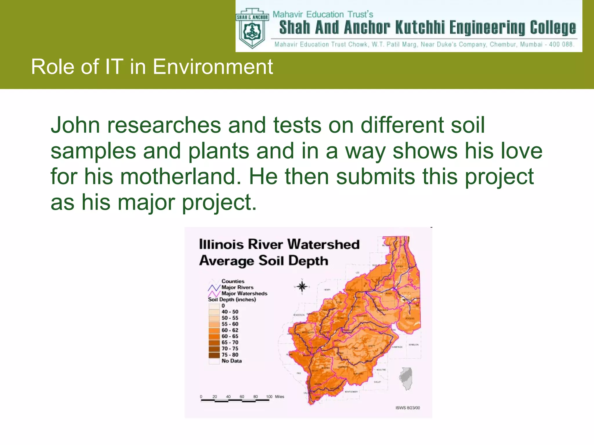
John researches andtests on different soil samples and plants and in a way shows his love for his motherland. He then submits this project as his major project.
9.
Environment Information System(ENVIS)India The Government of India, in December, 1982, established an Environmental Information System (ENVIS) as a plan programme A large number of nodes, known as ENVIS Centres, have been established in the network to cover the broad subject areas of environment with a Focal Point in the Ministry of Environment & Forests. Environment Information System (ENVIS) India www. envis .nic.in/ -
10.
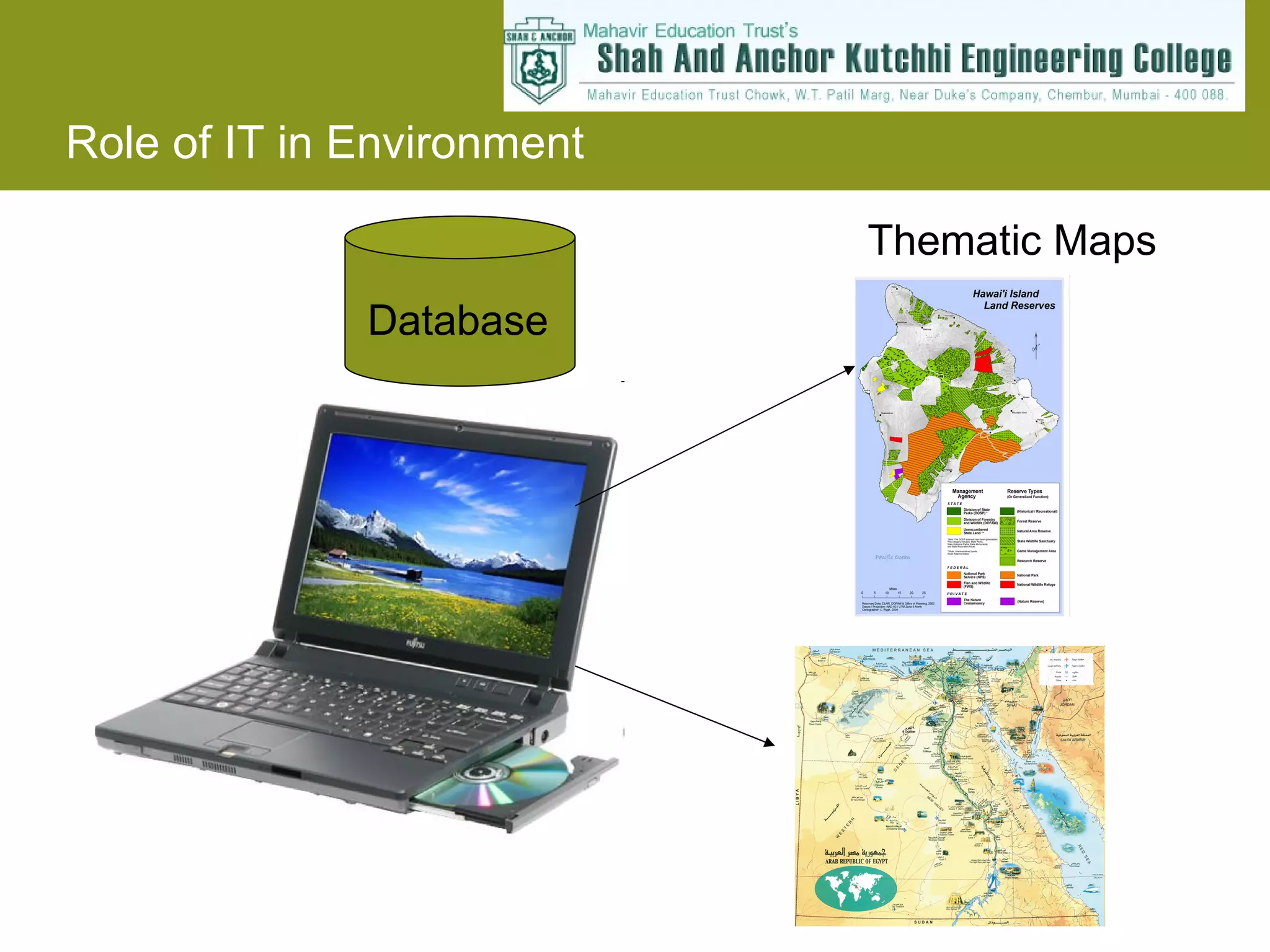
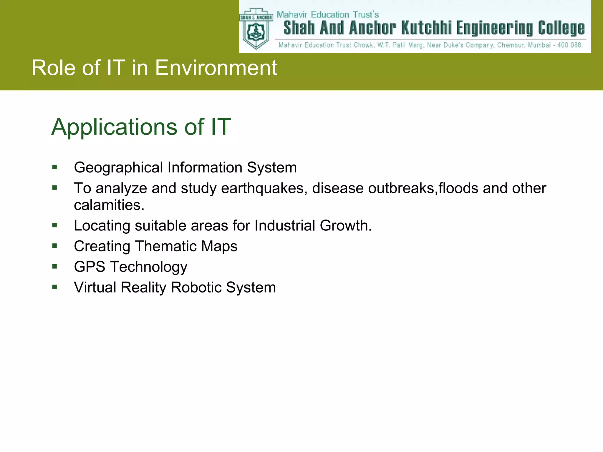
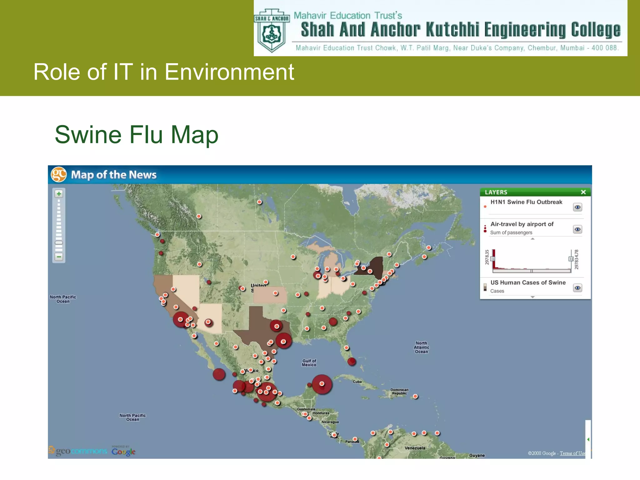
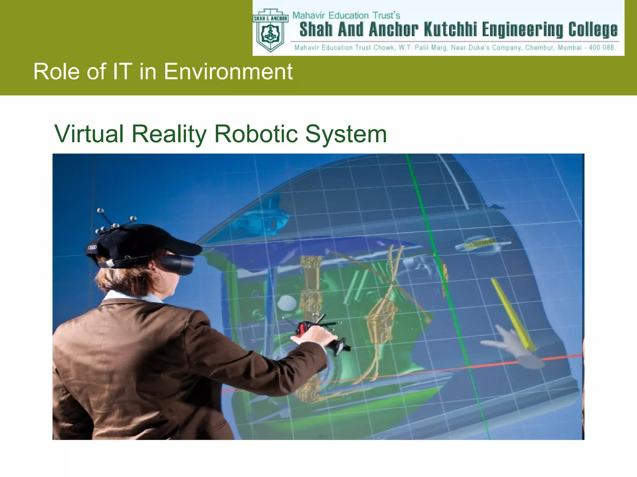
Applications of ITGeographical Information System To analyze and study earthquakes, disease outbreaks,floods and other calamities. Locating suitable areas for Industrial Growth. Creating Thematic Maps GPS Technology Virtual Reality Robotic System
11.
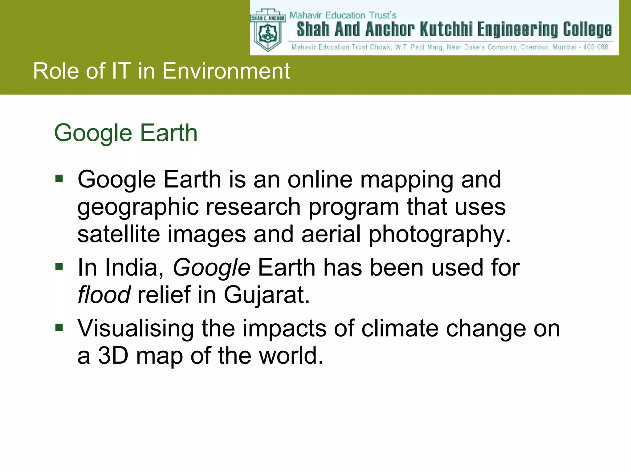
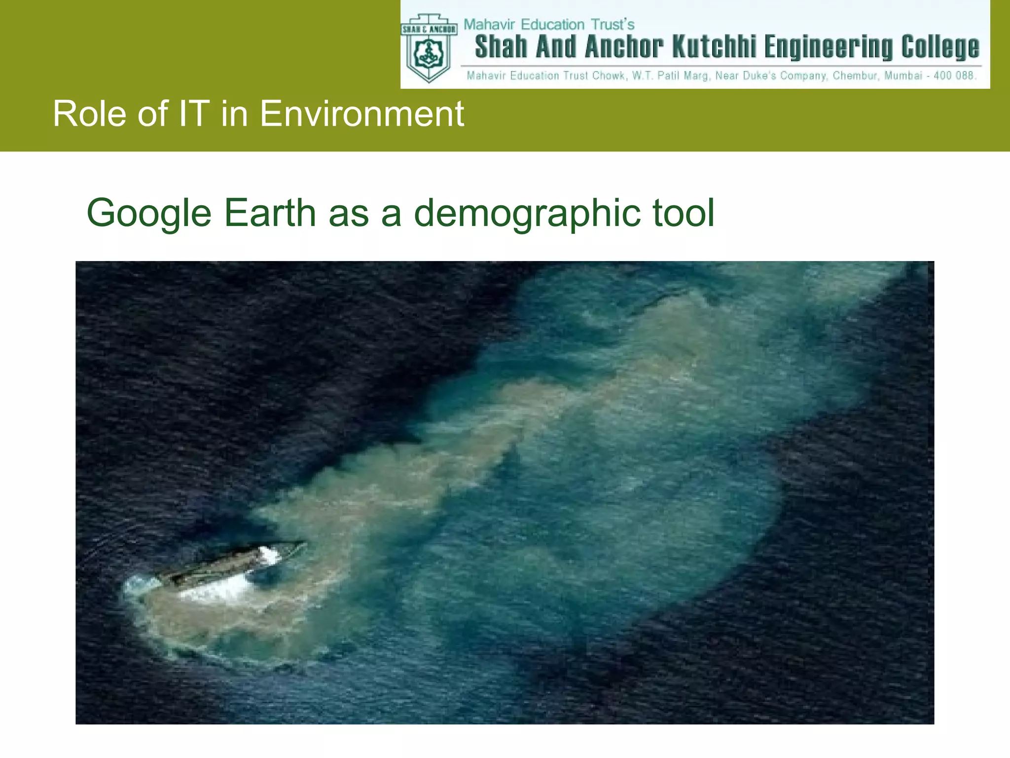
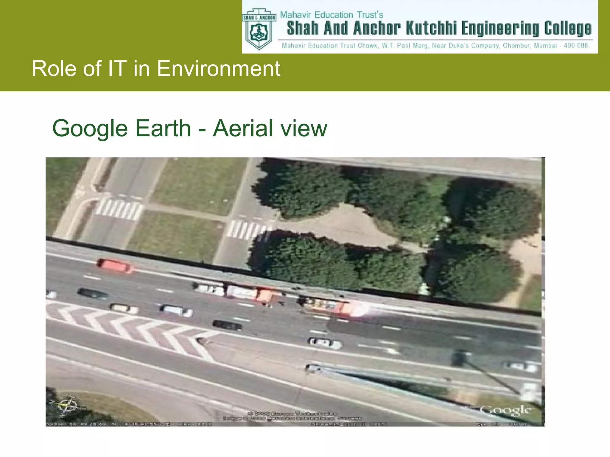
Google Earth GoogleEarth is an online mapping and geographic research program that uses satellite images and aerial photography. In India, Google Earth has been used for flood relief in Gujarat. Visualising the impacts of climate change on a 3D map of the world.
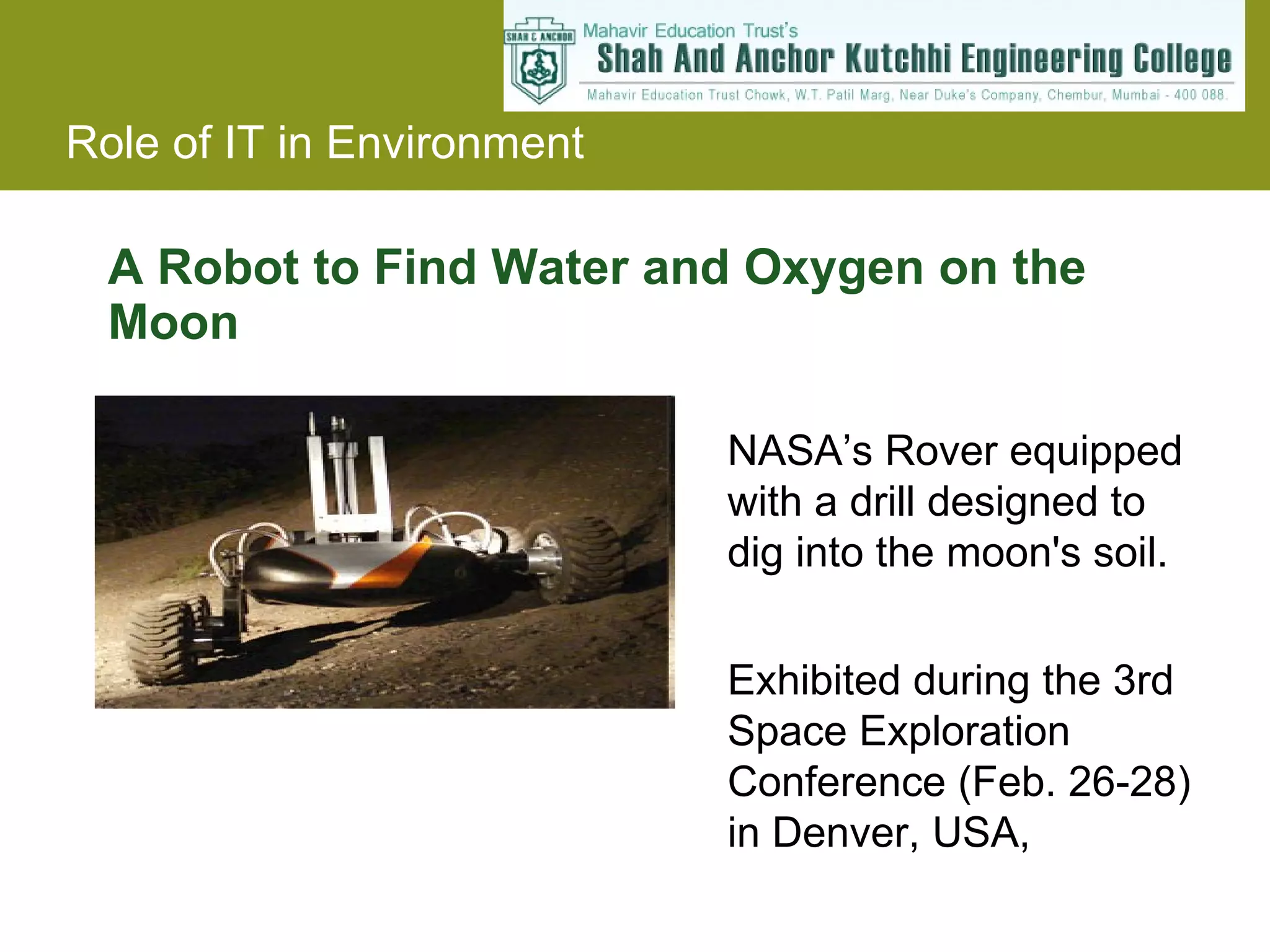
A Robot toFind Water and Oxygen on the Moon NASA’s Rover equipped with a drill designed to dig into the moon's soil. Exhibited during the 3rd Space Exploration Conference (Feb. 26-28) in Denver, USA,
16.
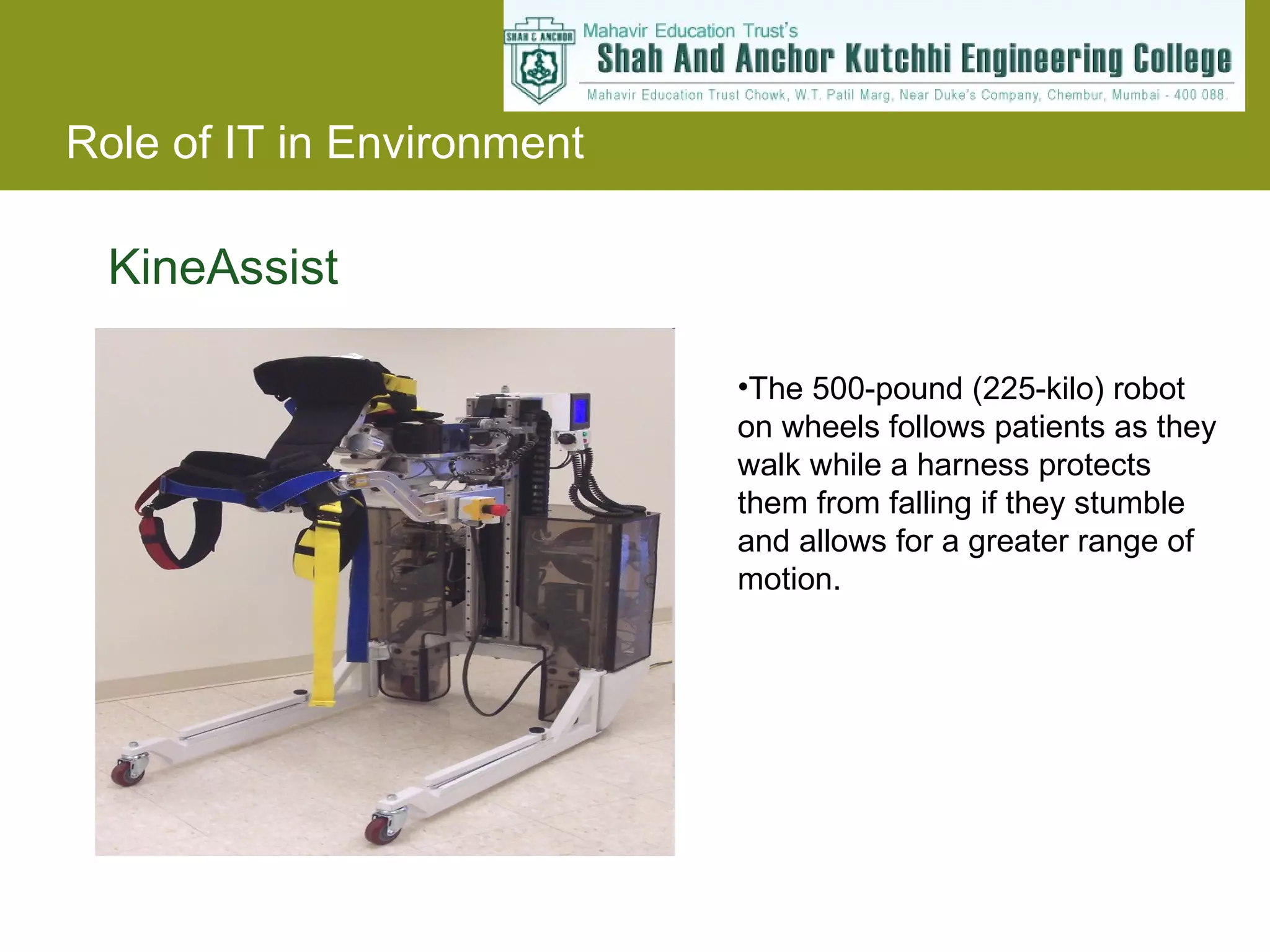
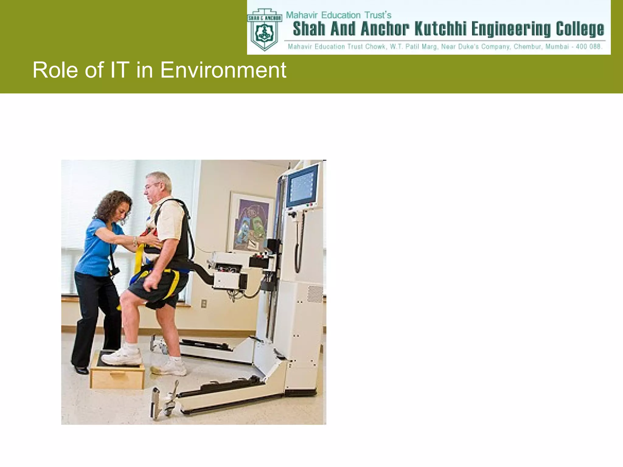
KineAssist The 500-pound(225-kilo) robot on wheels follows patients as they walk while a harness protects them from falling if they stumble and allows for a greater range of motion.

![Masoom Tulsiani [email_address] Jignesh Ghant www.masoom.us/presentations Thank you for your attention ! For any queries.](https://image.slidesharecdn.com/evs-ppt-091009225345-phpapp02/75/Role-of-IT-in-environment-19-2048.jpg)