Downloaded 2,901 times


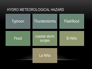
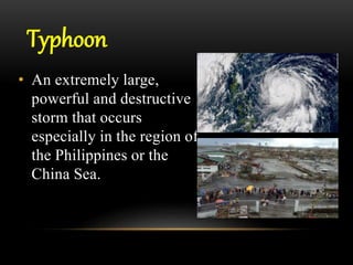


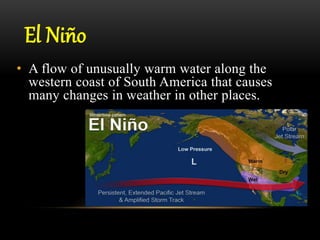
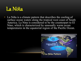


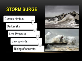

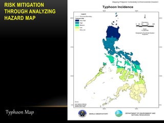

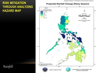


The document discusses various hydro-meteorological hazards such as typhoons, thunderstorms, flash floods, coastal storm surges, and El Nino/La Nina. It defines each hazard, describes their characteristics and how they can be identified. The document emphasizes the importance of understanding these hazards and analyzing hazard maps to aid in risk mitigation efforts. Hazard maps shown include typhoon tracks, historical rainfall maps, rainfall probability maps, and El Nino maps. Understanding hazards through analysis of such maps can help reduce risks from hazardous weather and climate events.