Download as PDF, PPTX
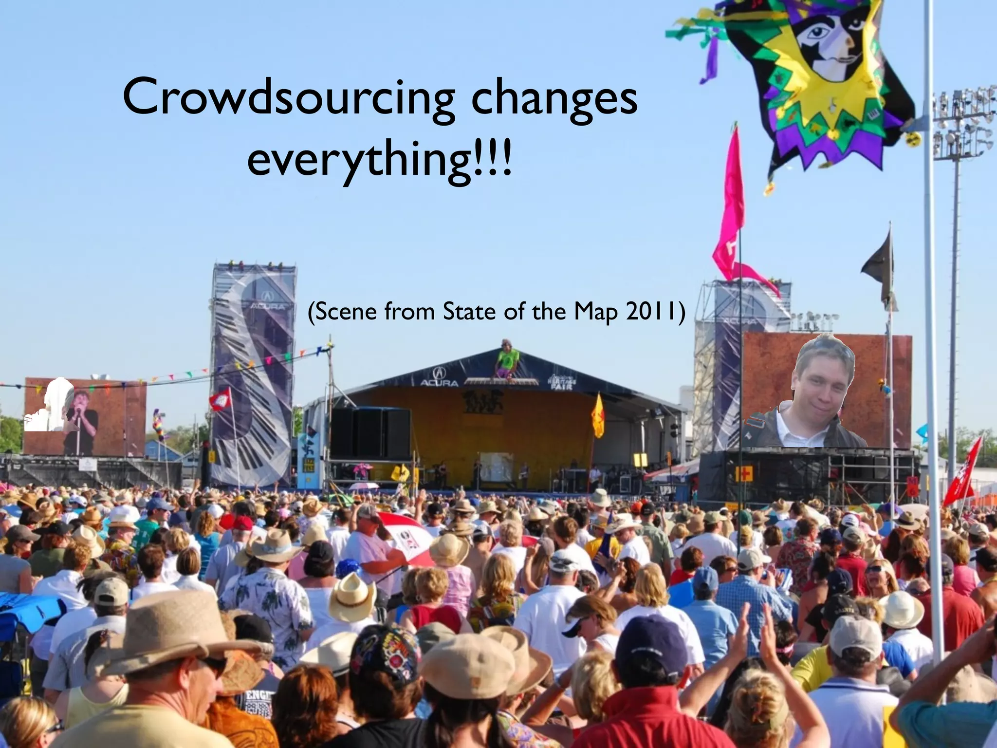

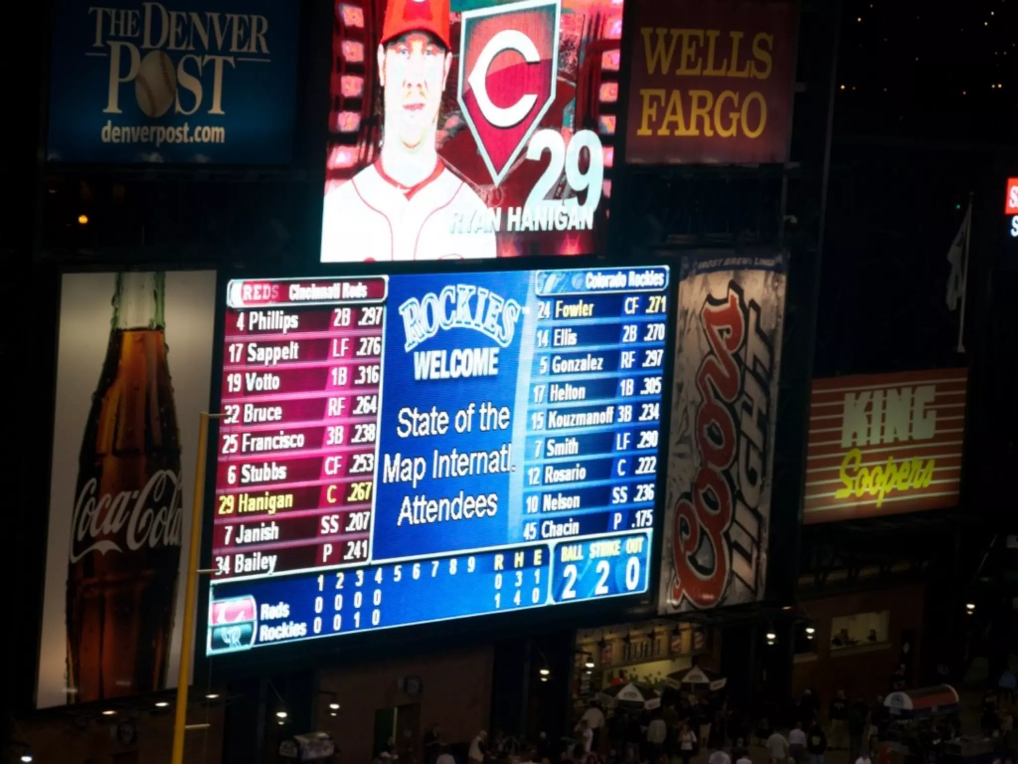

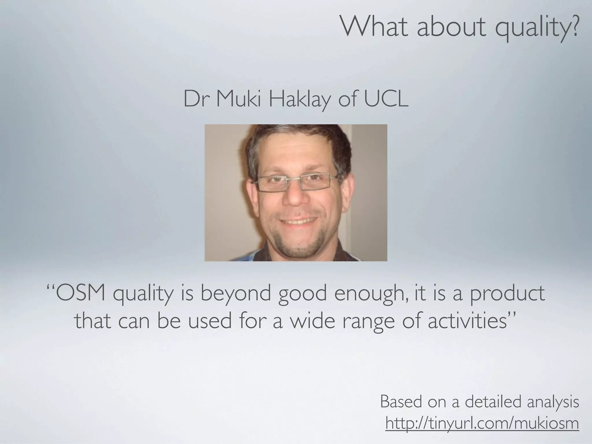
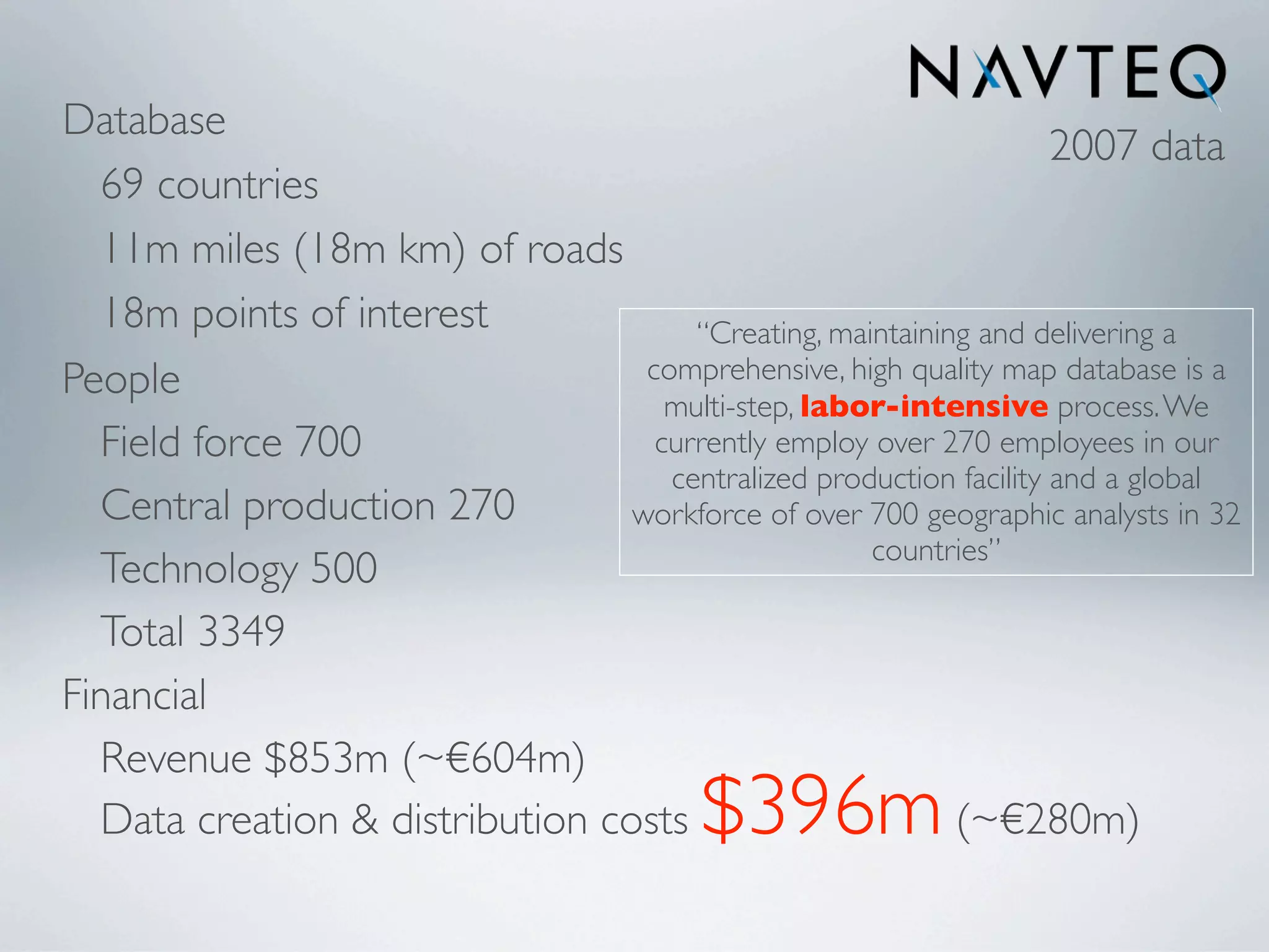
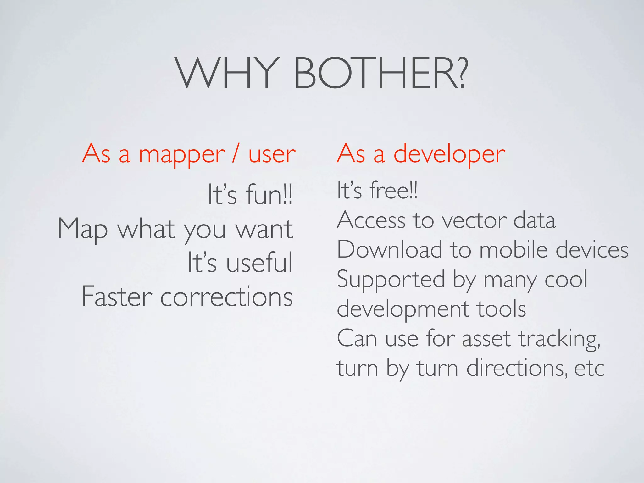


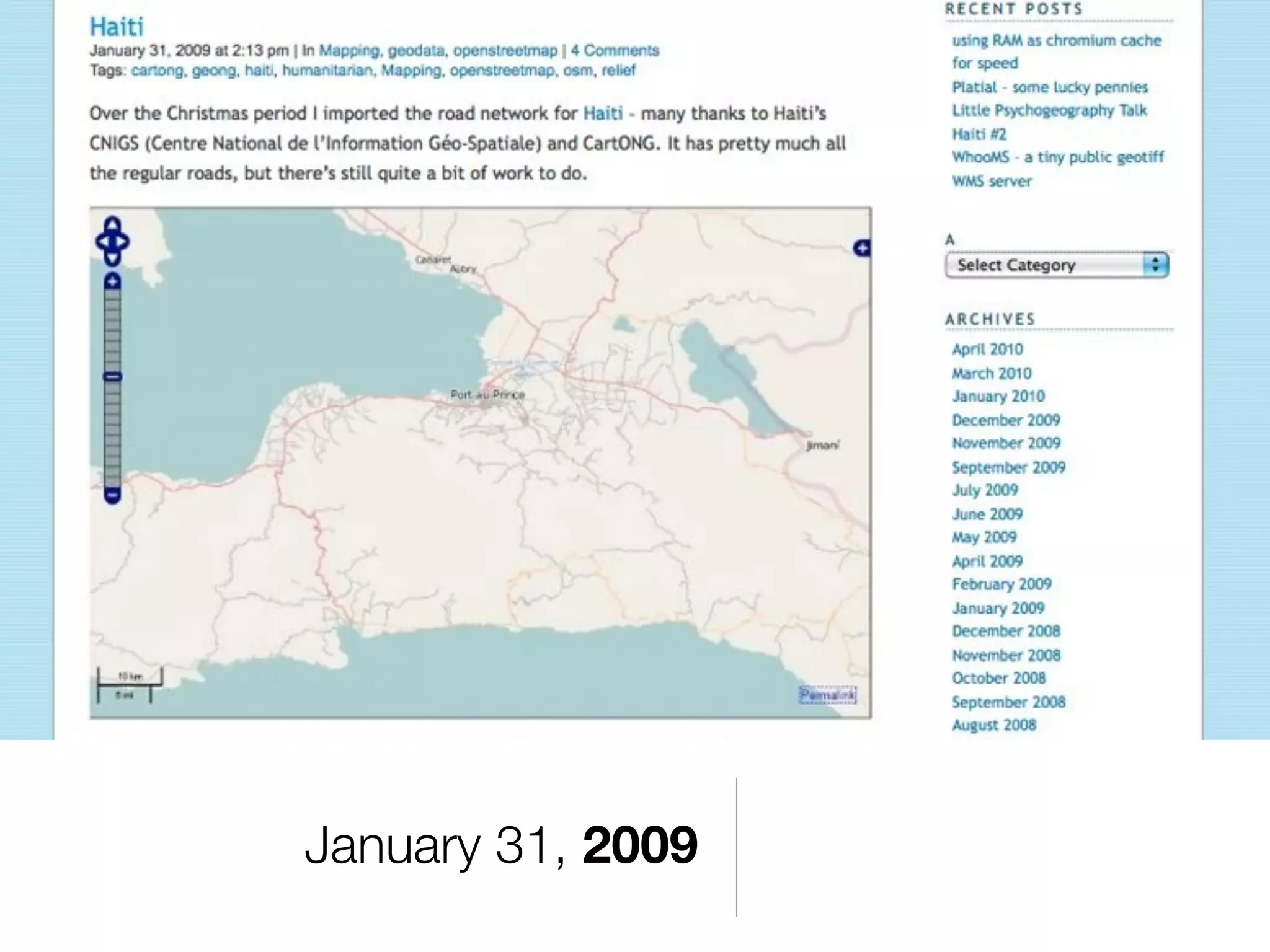
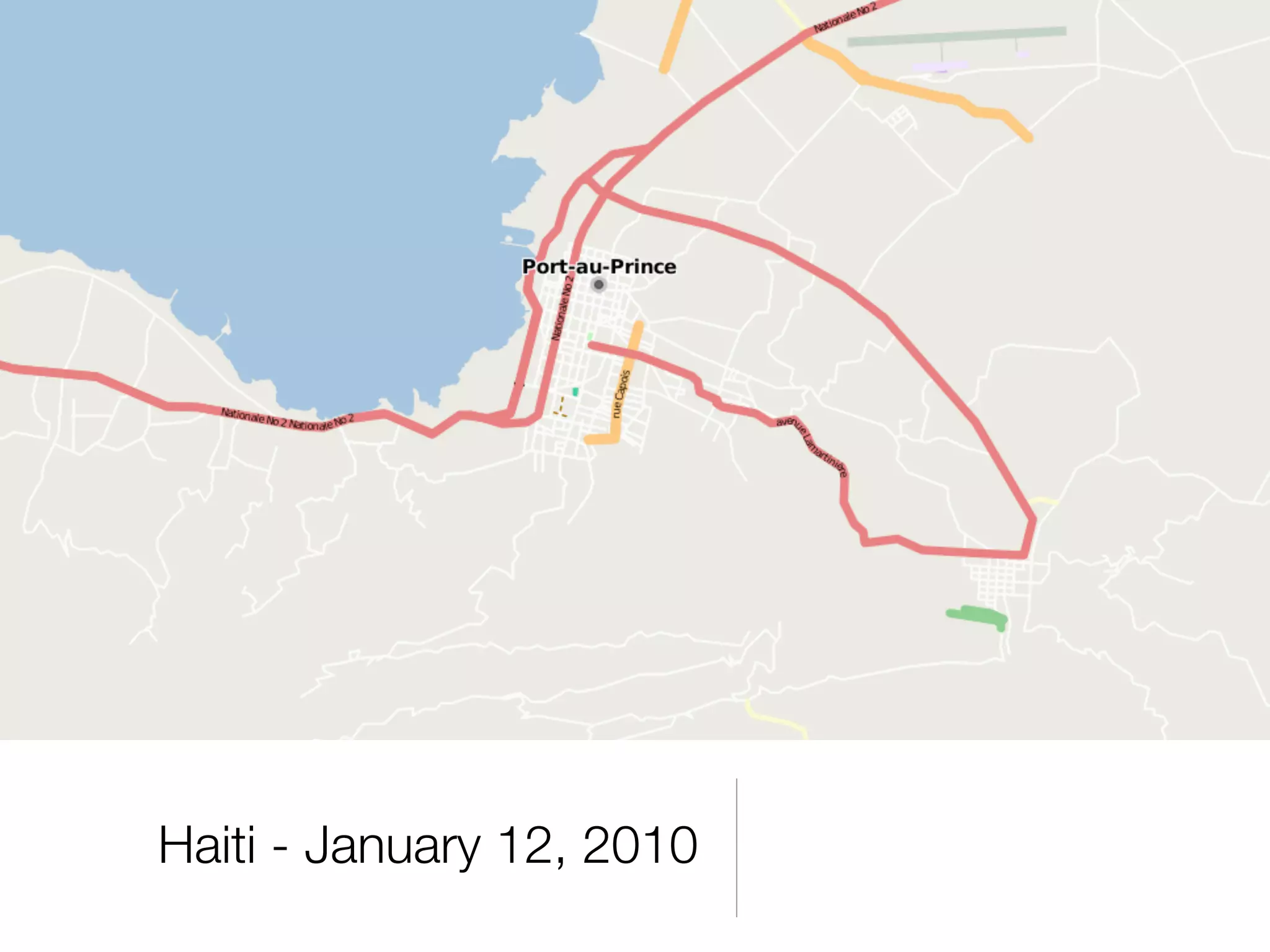
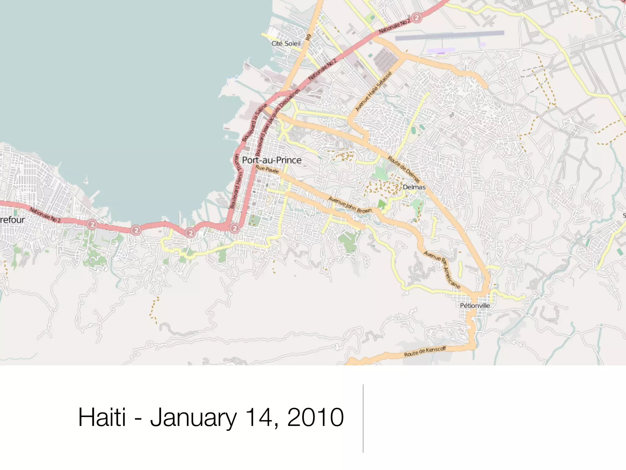
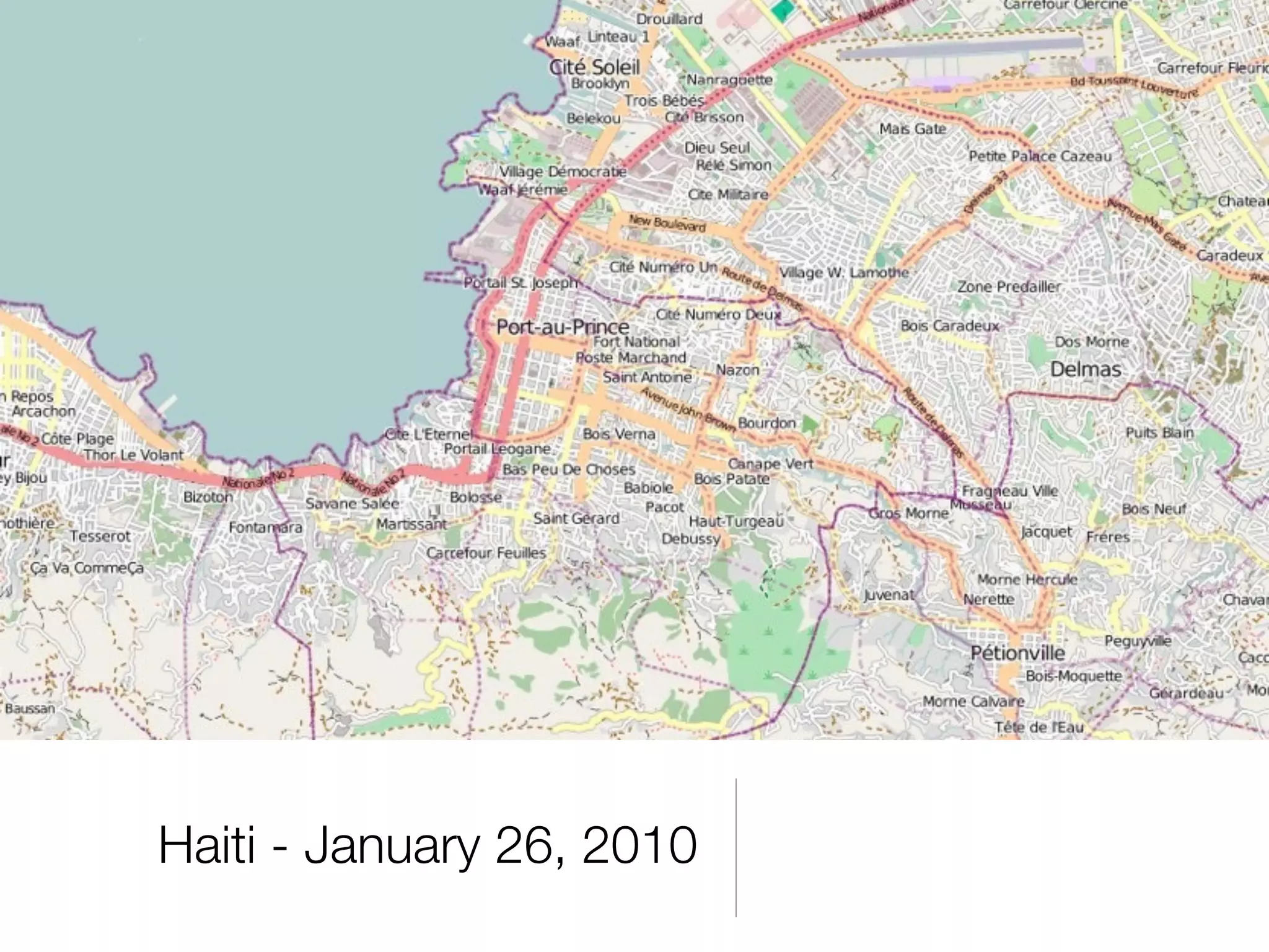
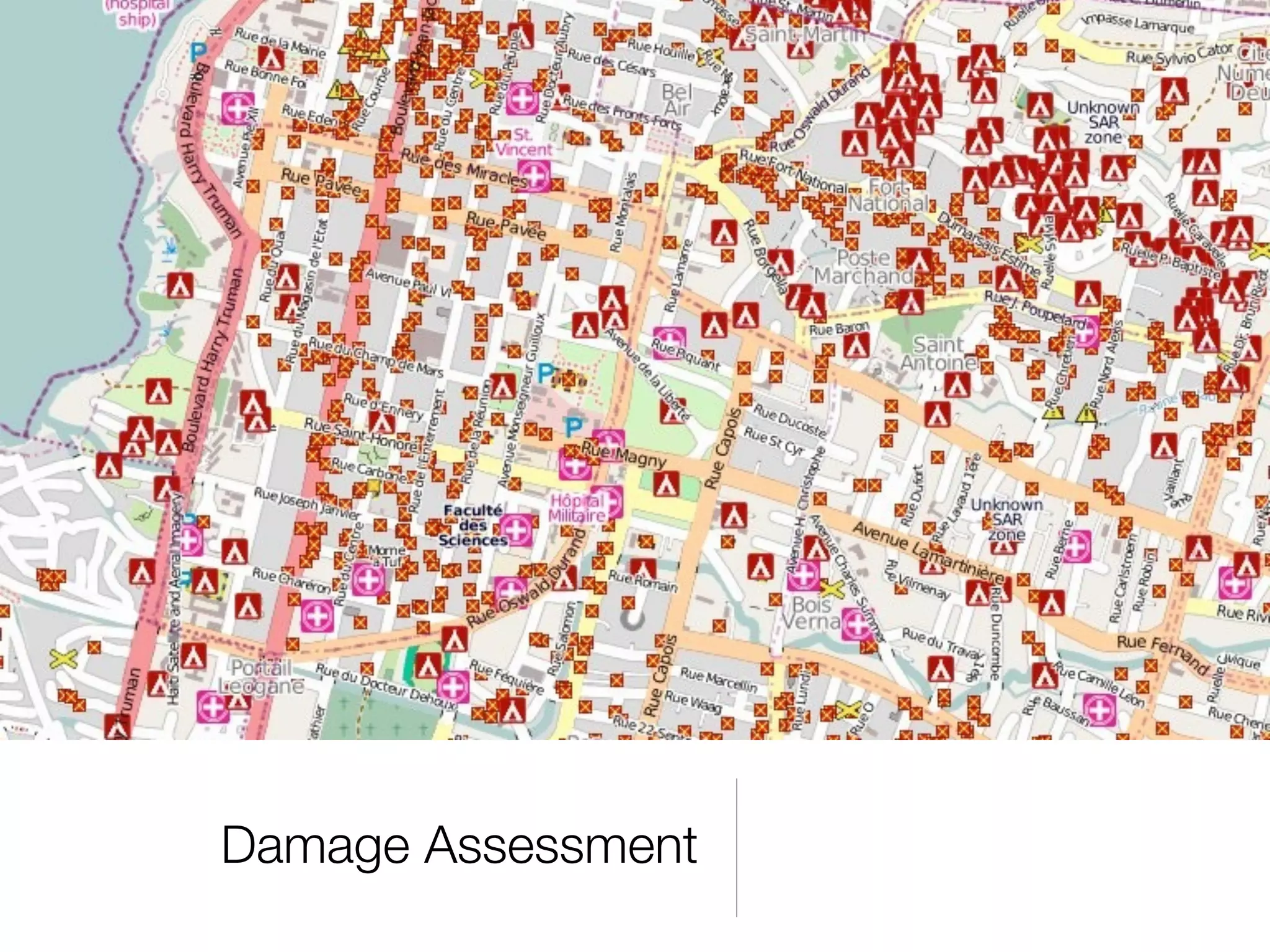
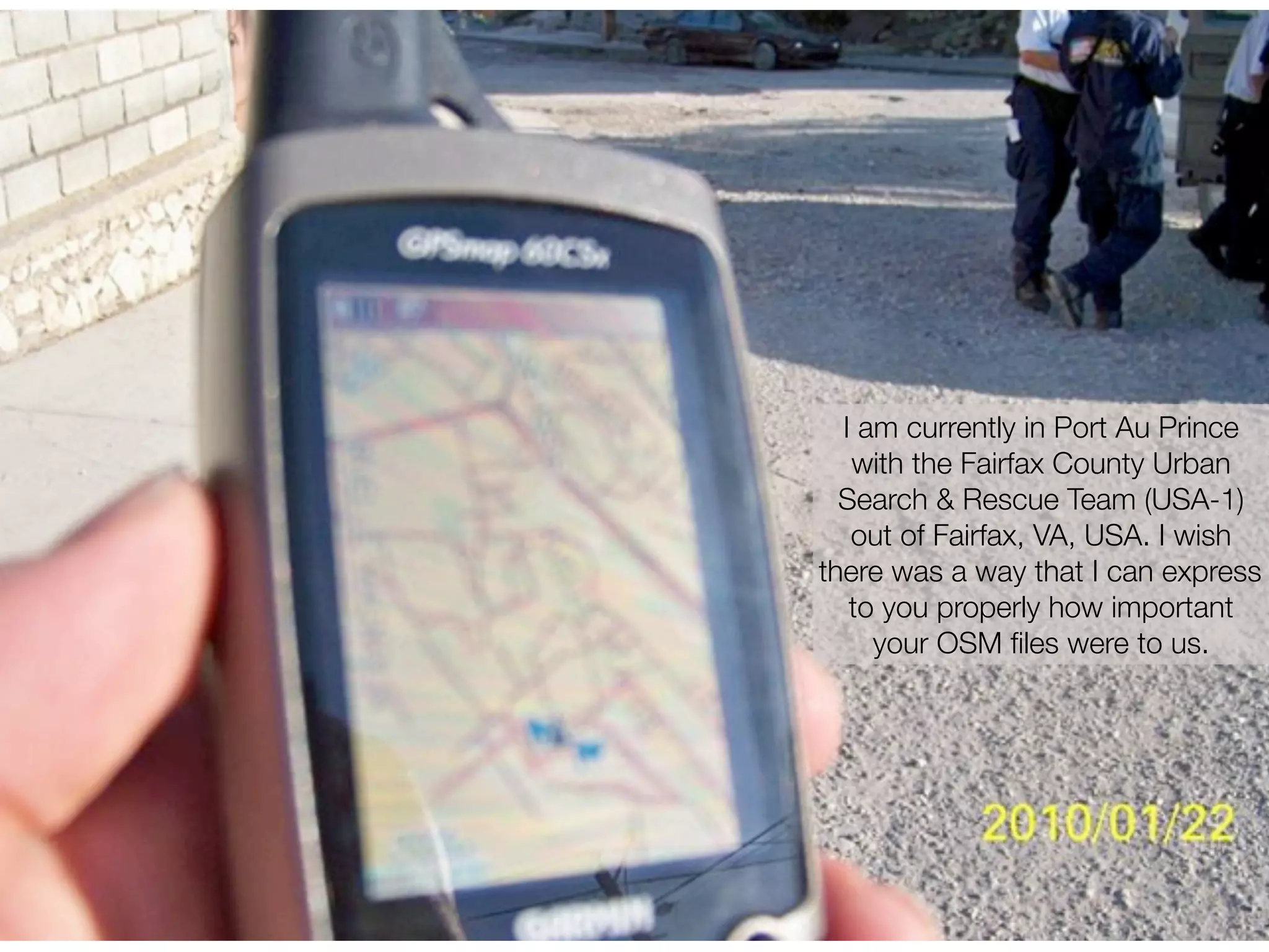
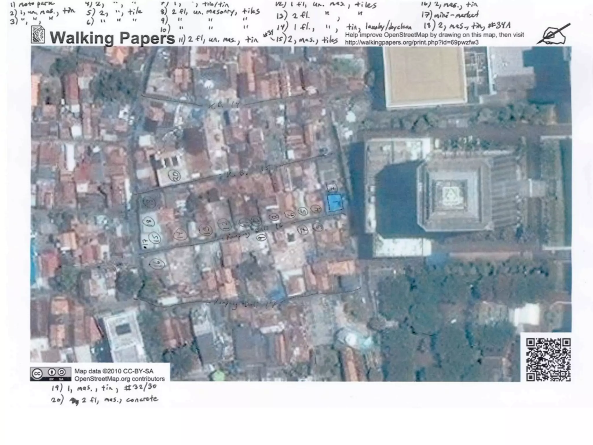
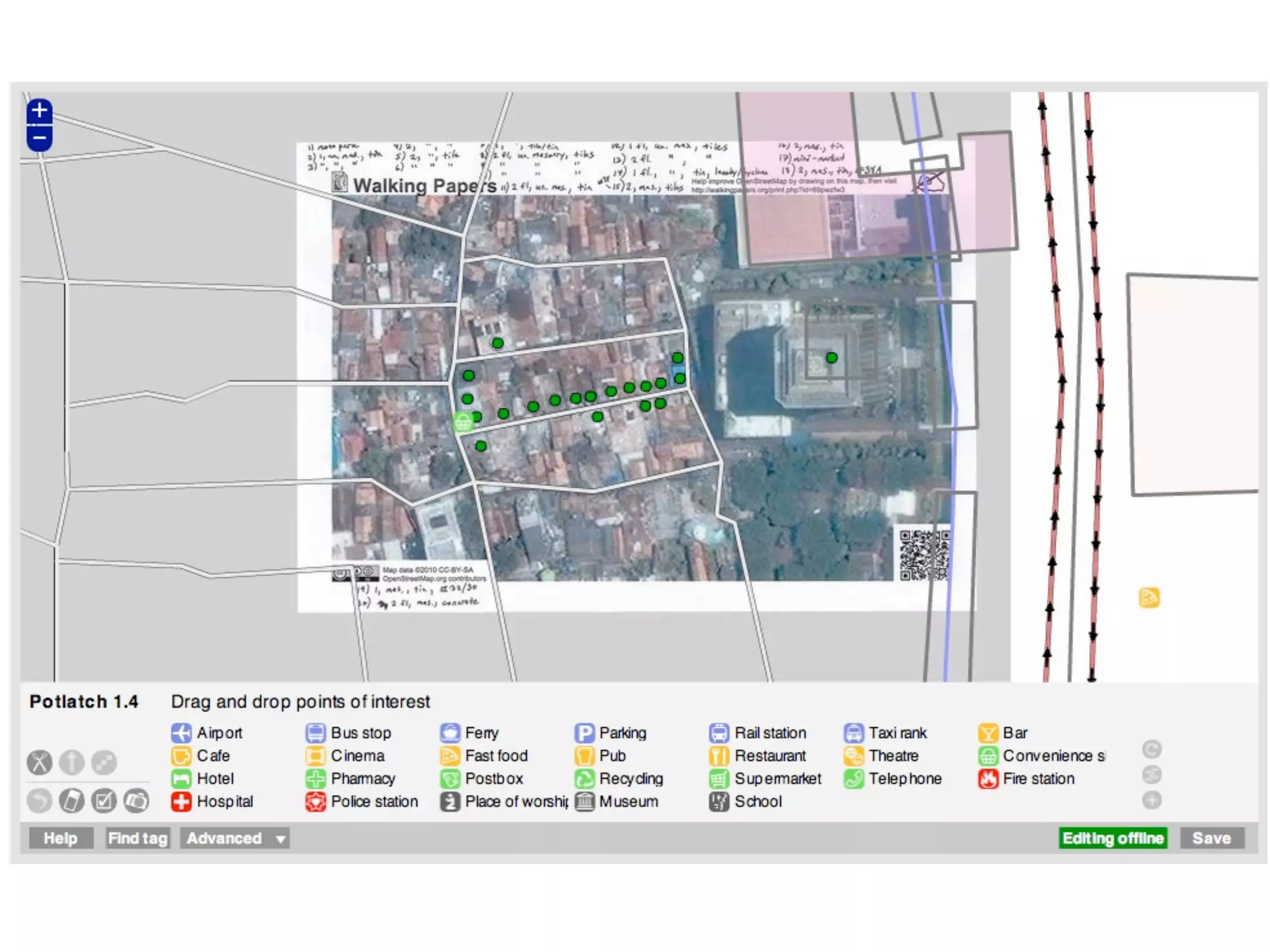
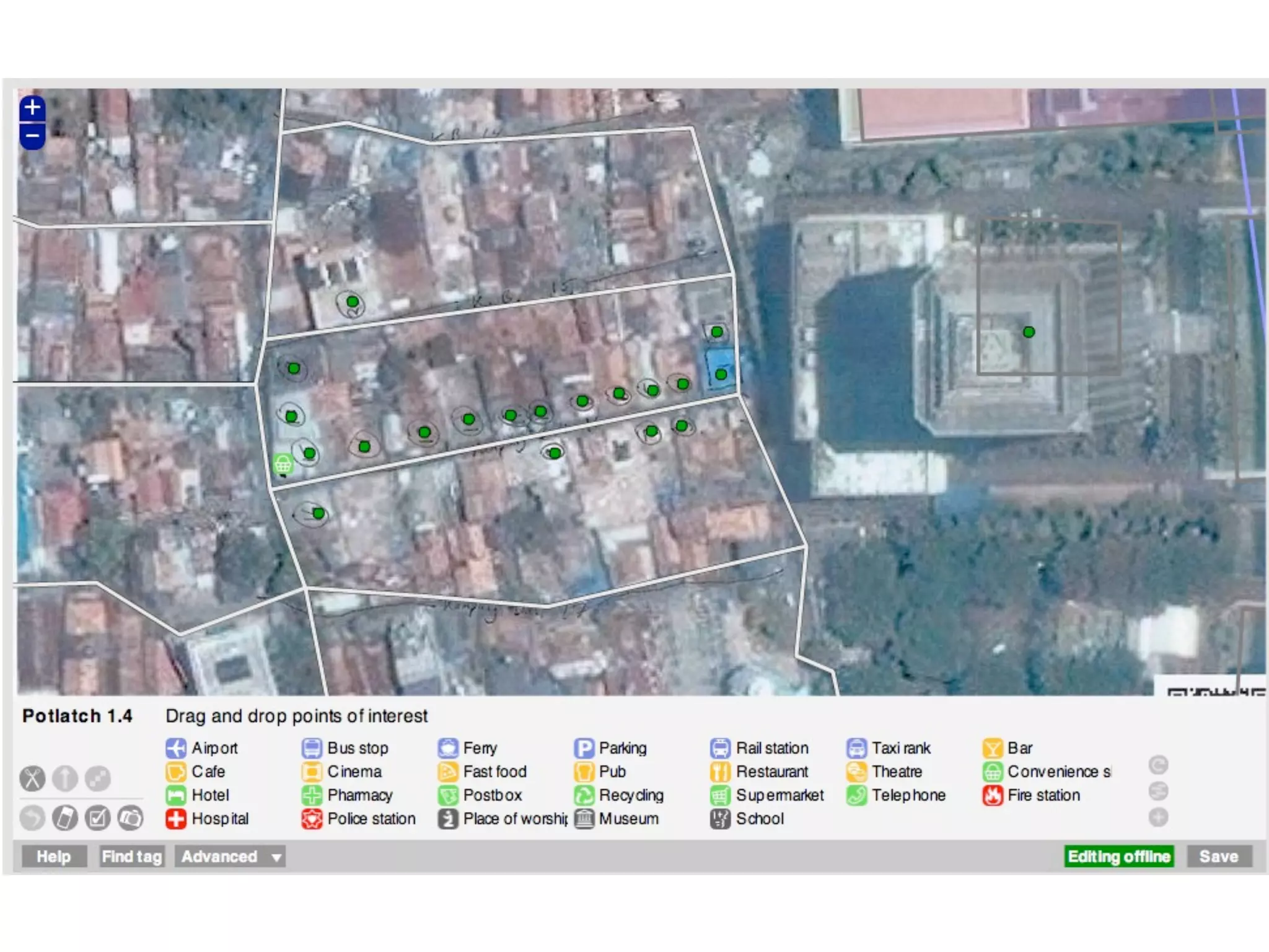
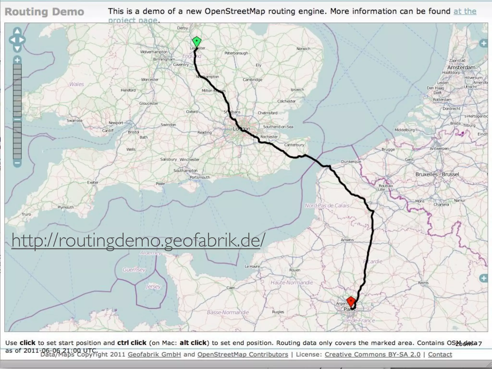
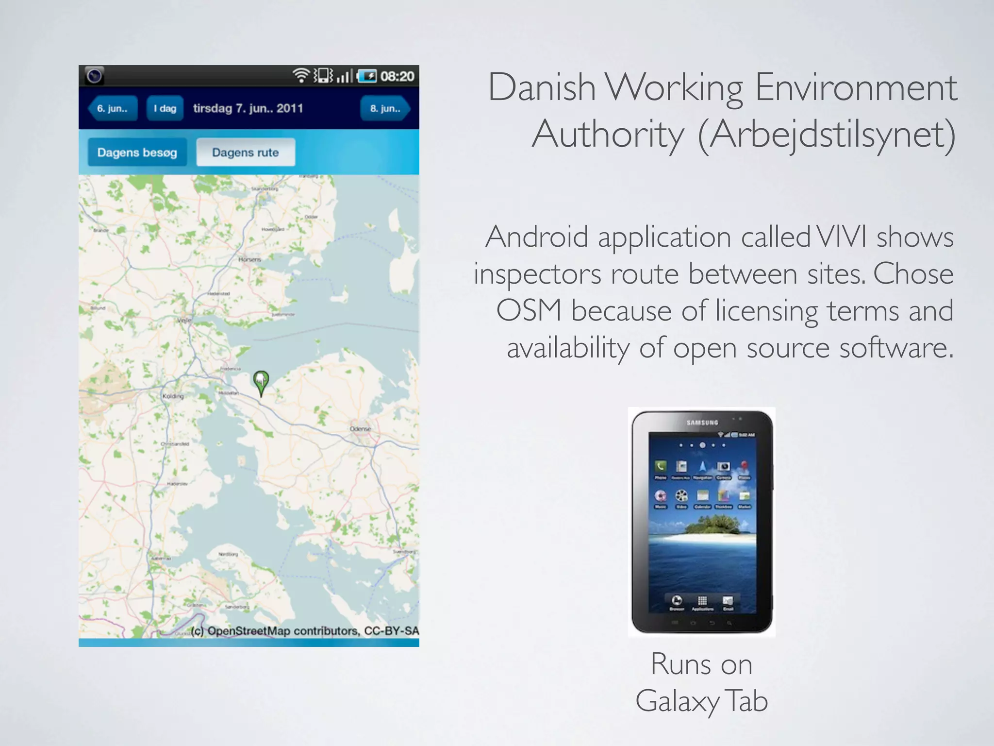
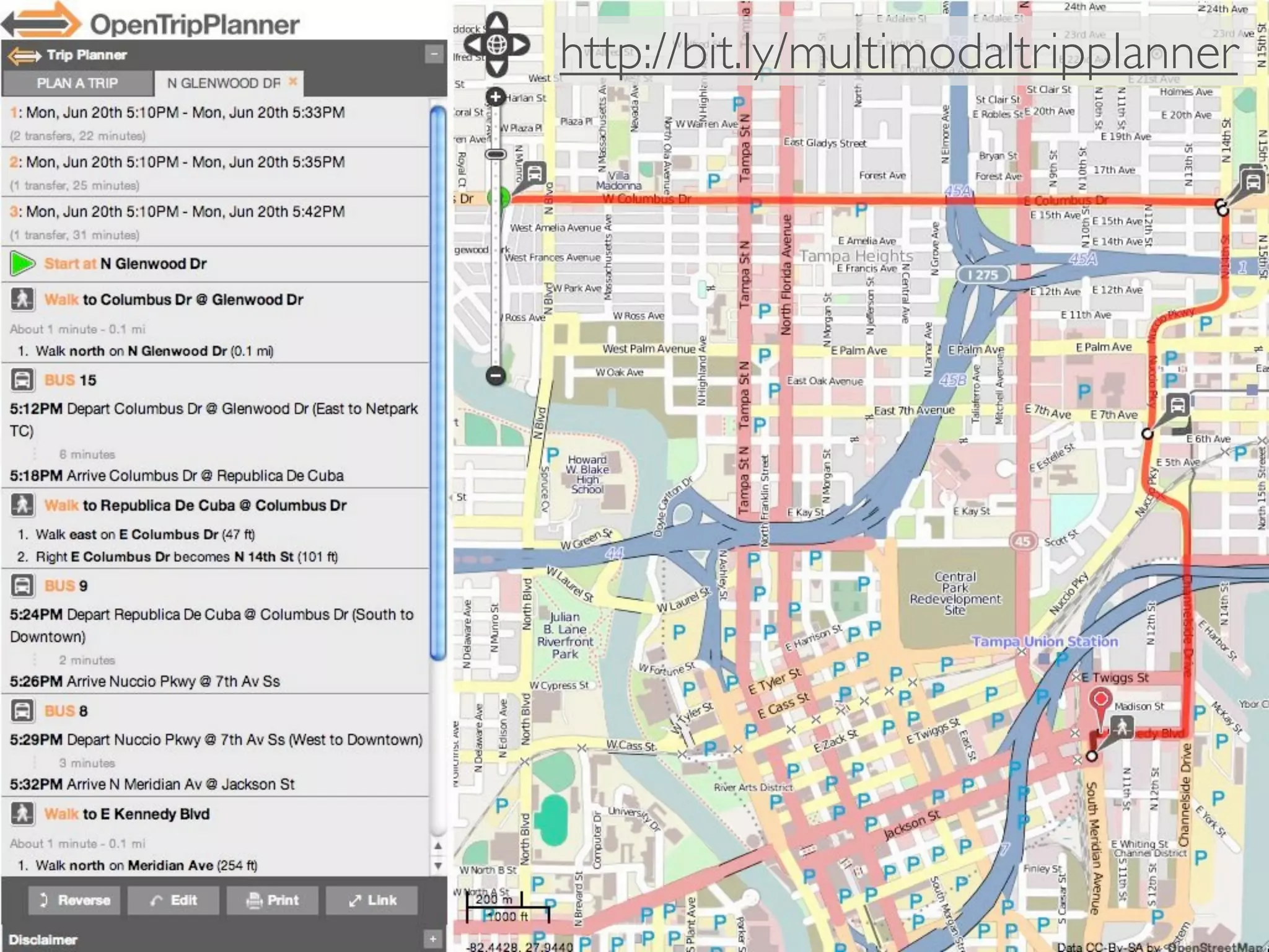
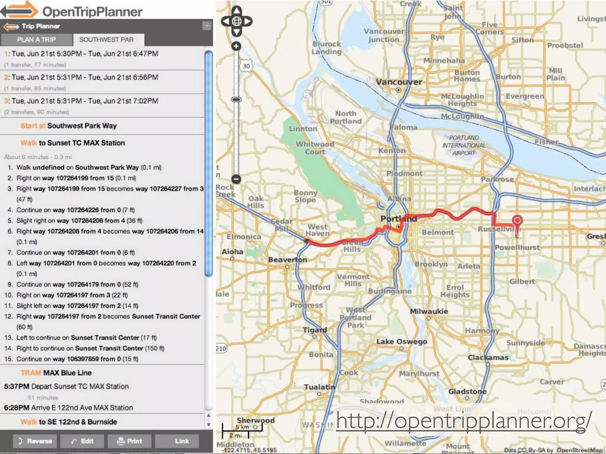
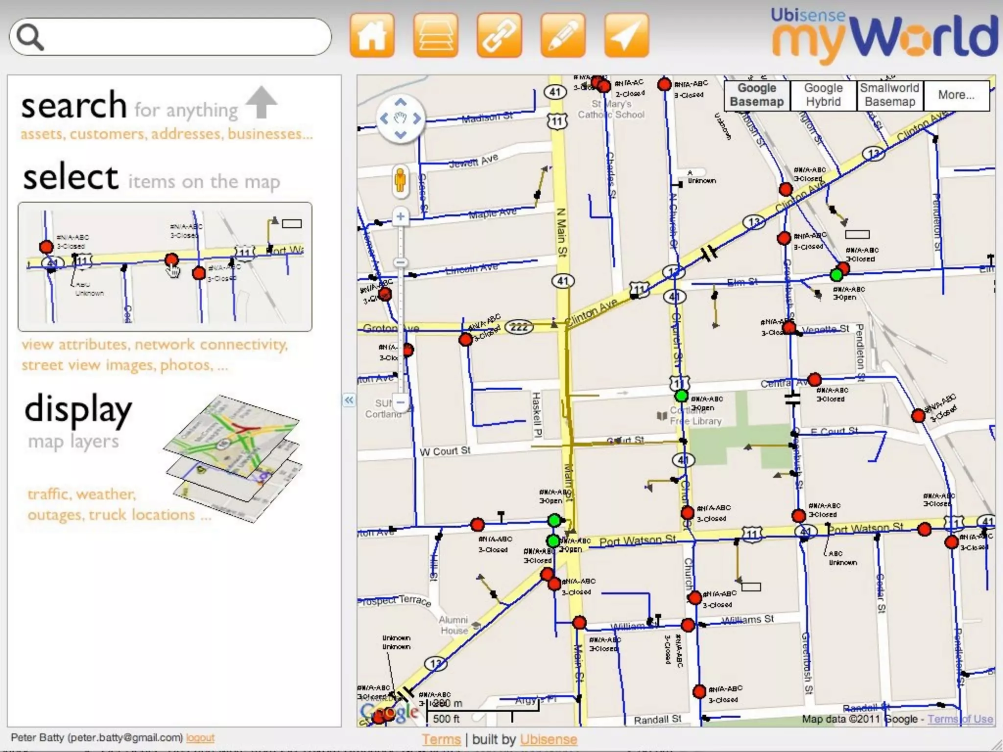
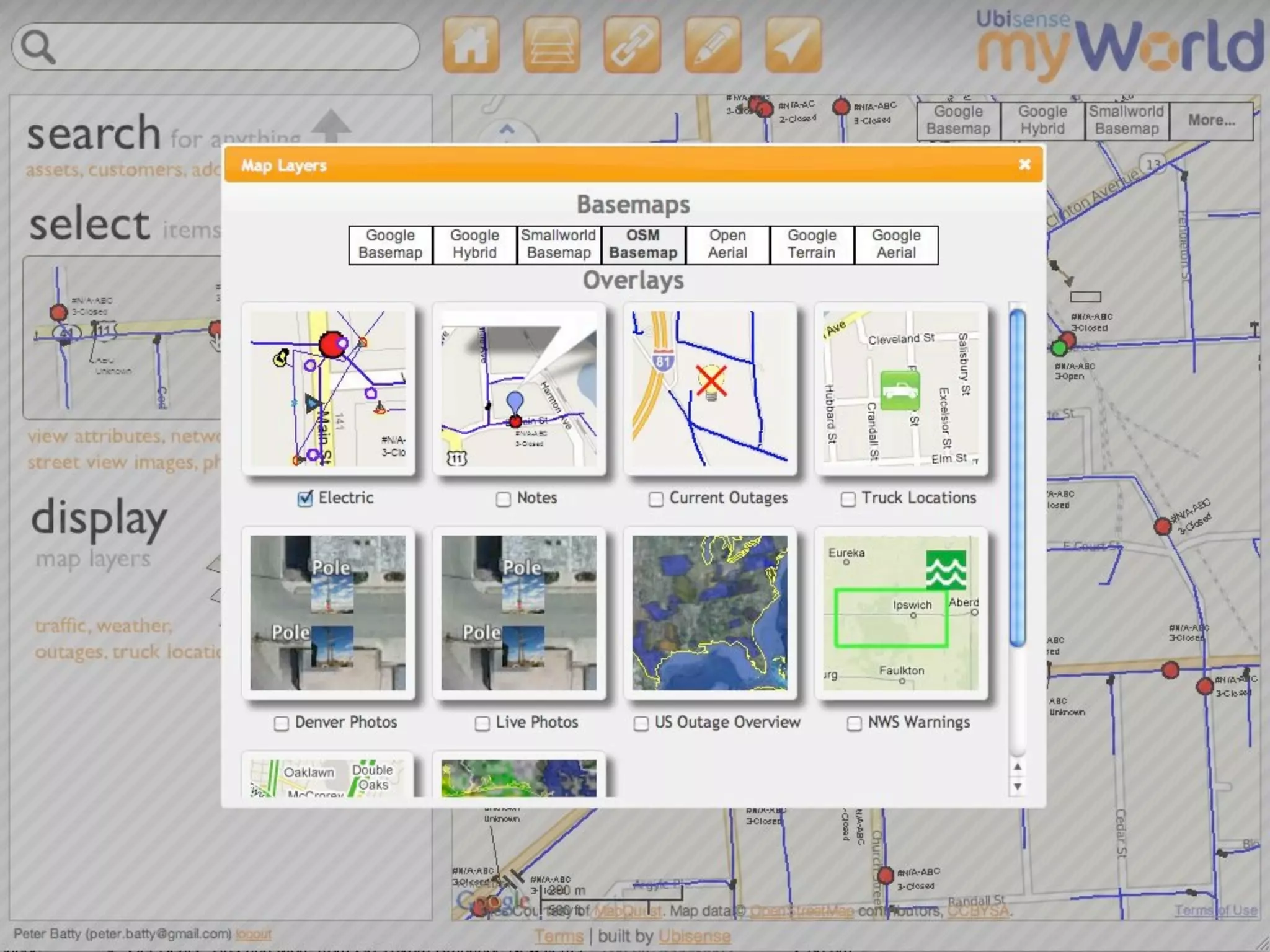
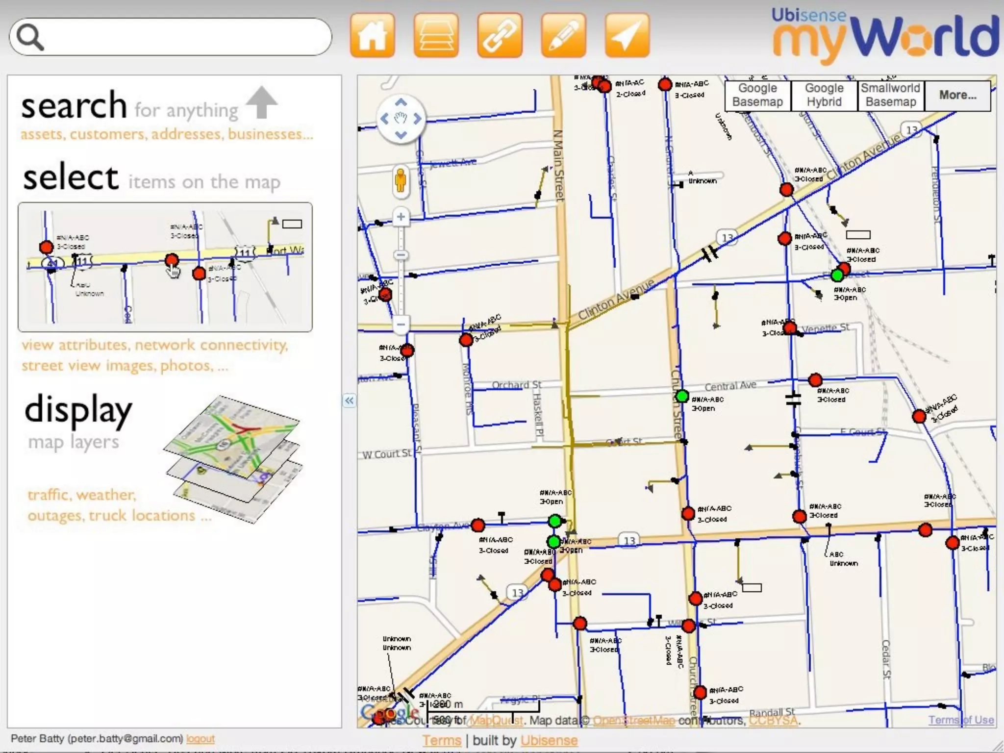
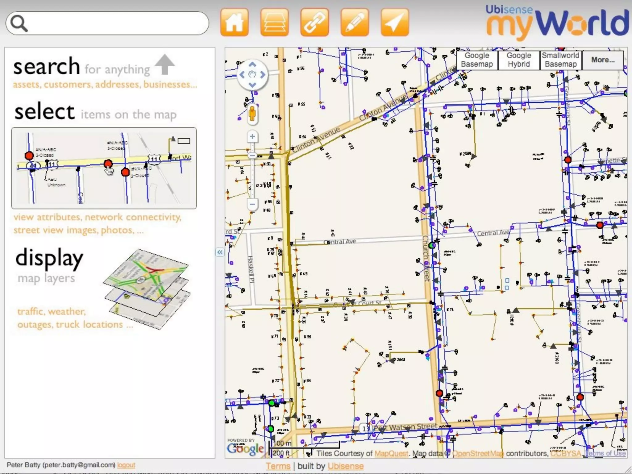
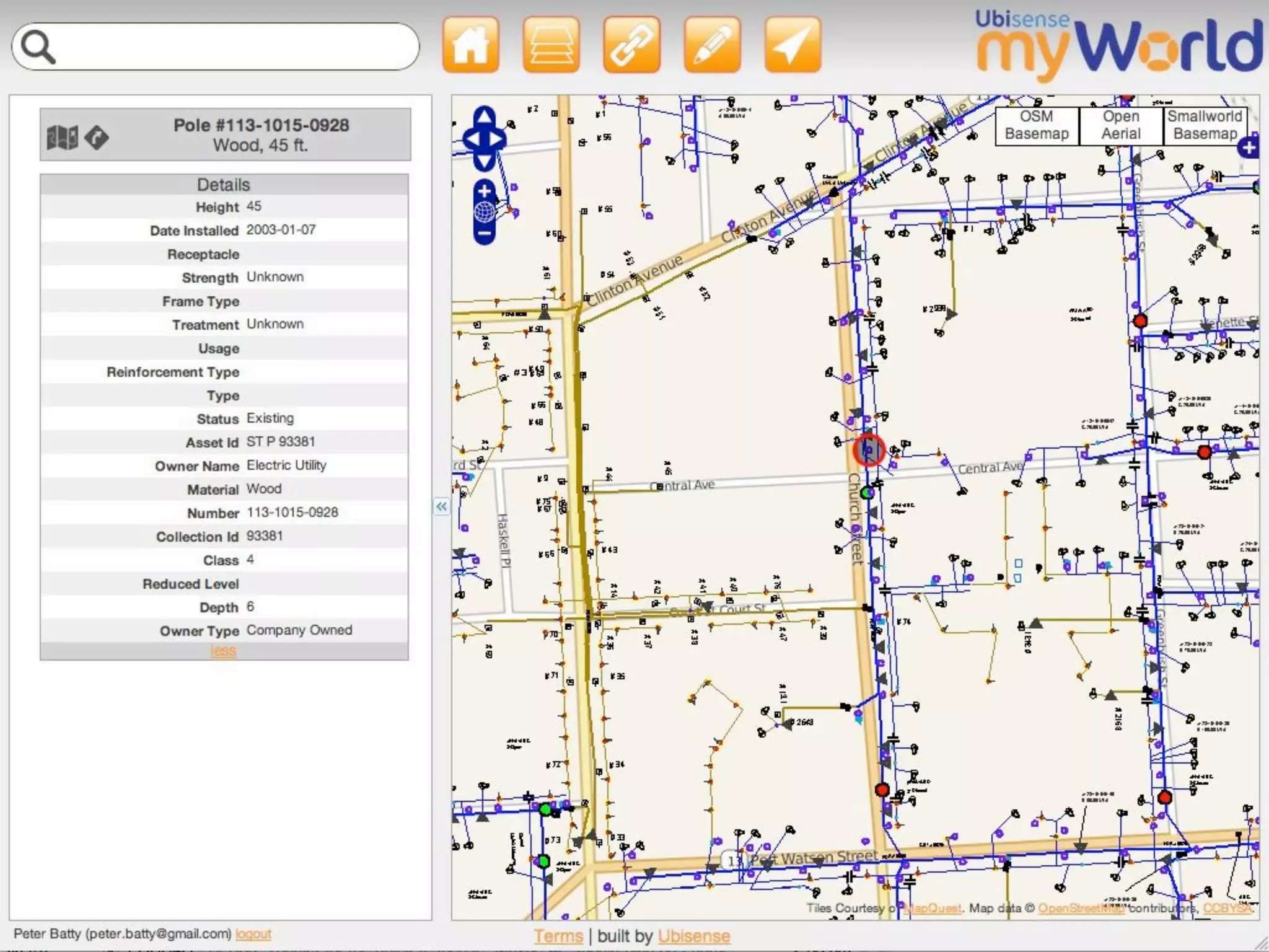
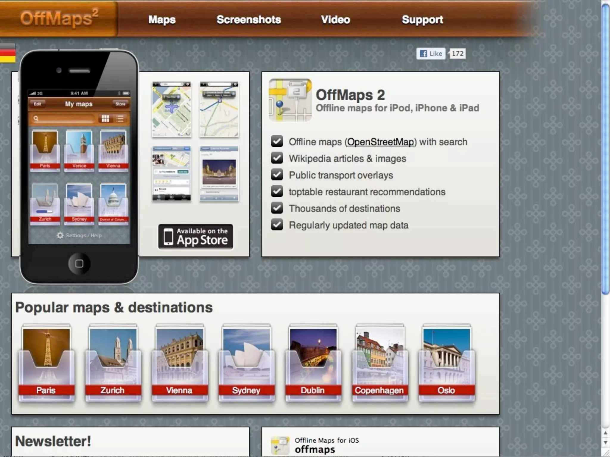
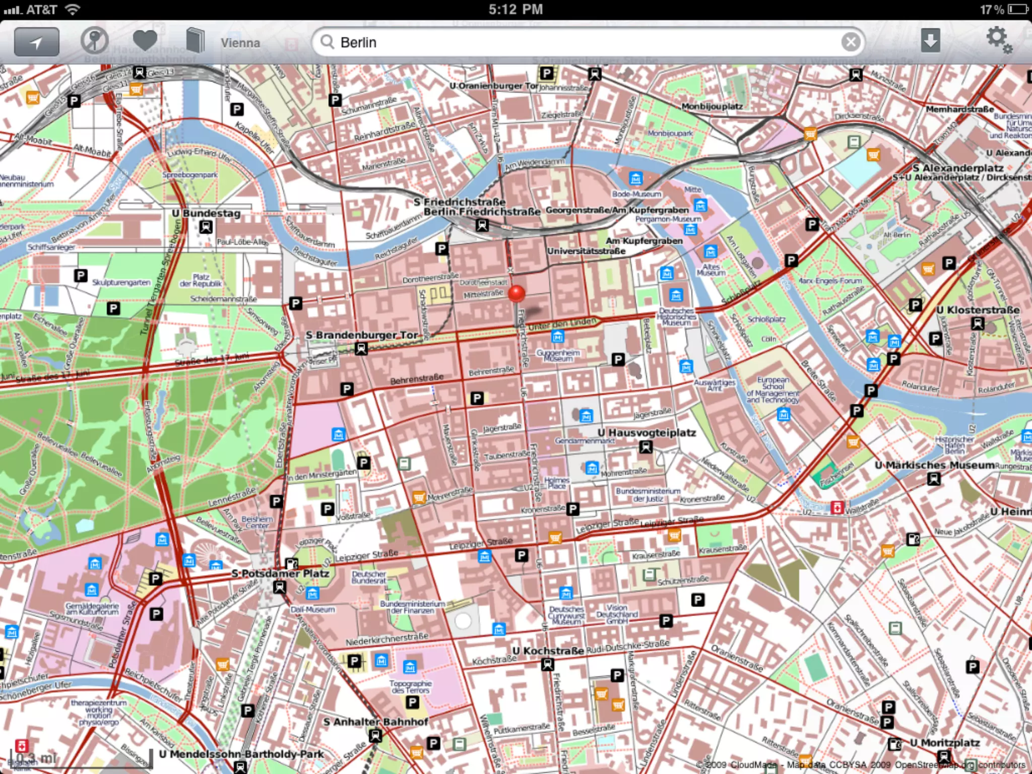
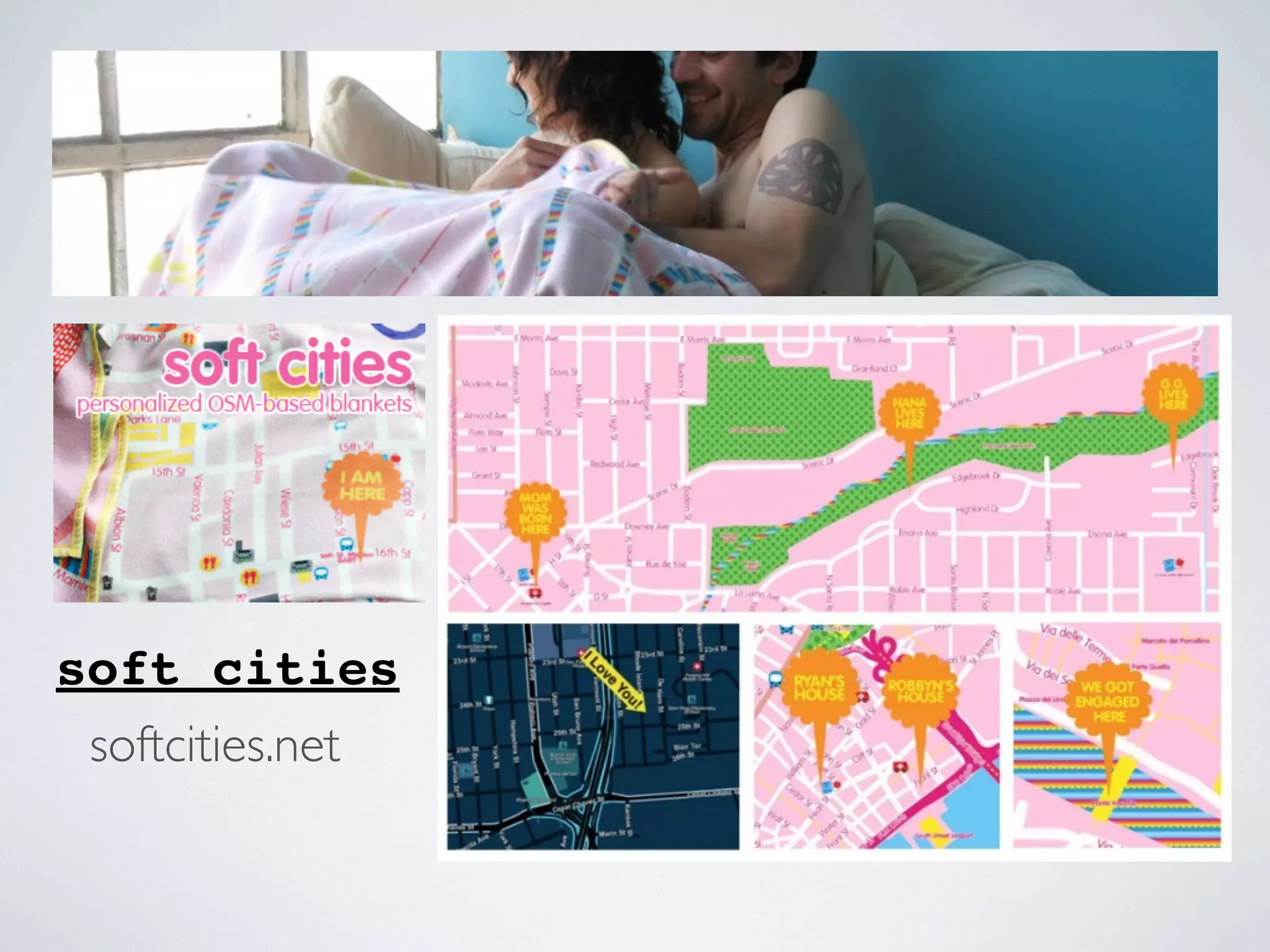


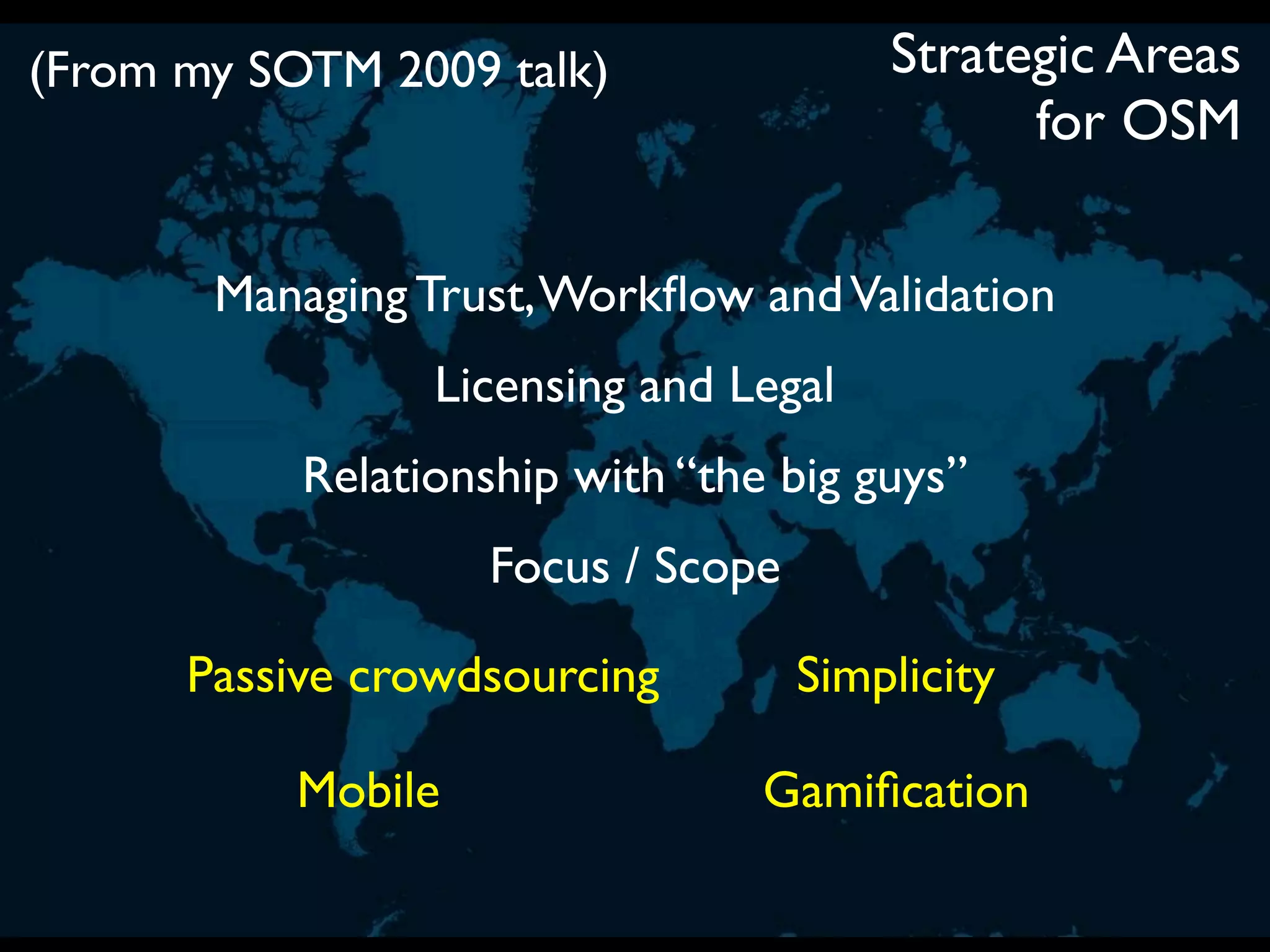

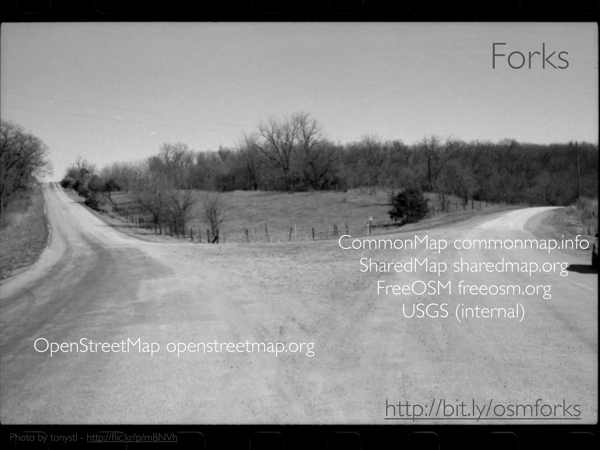

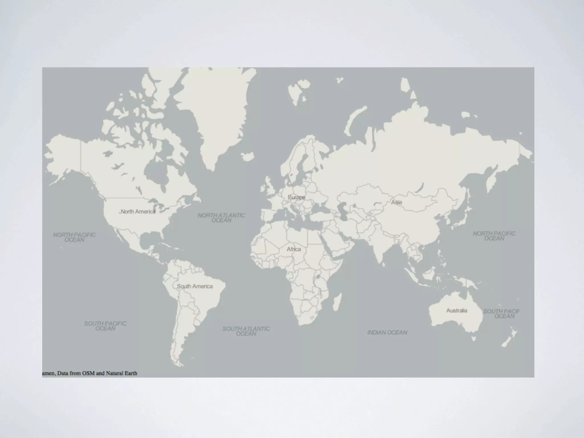
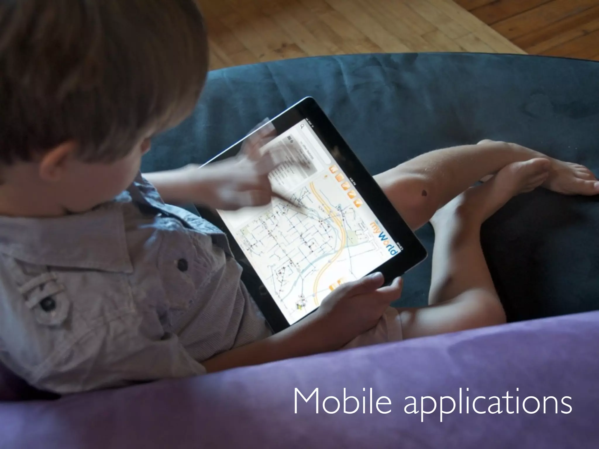

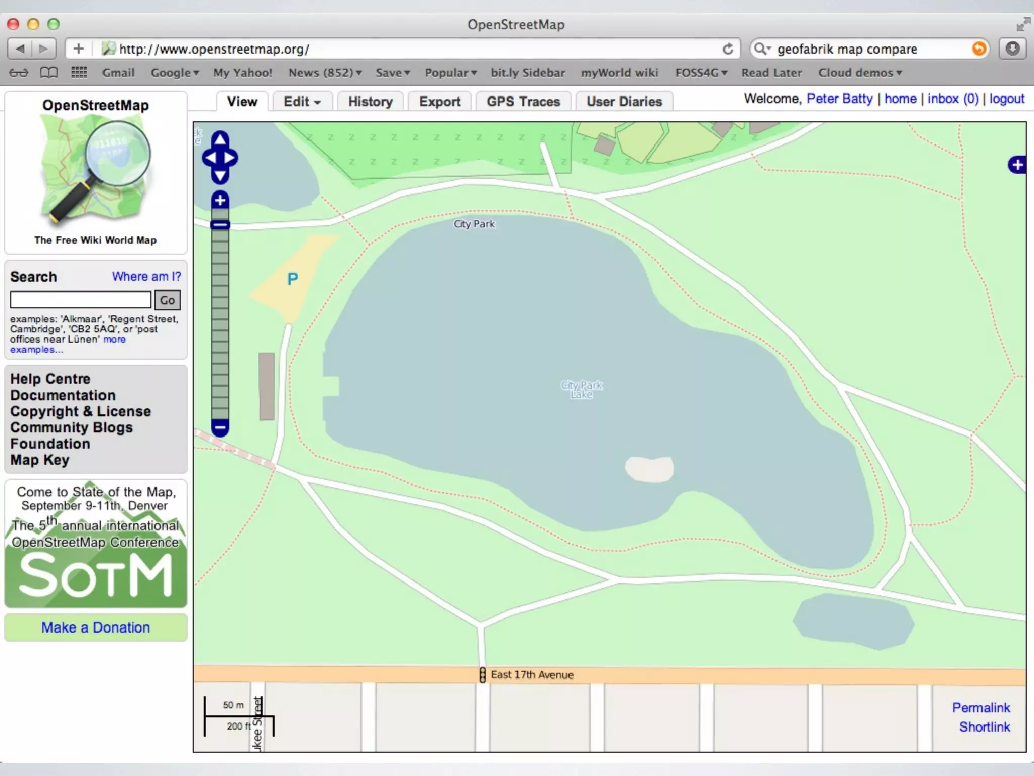

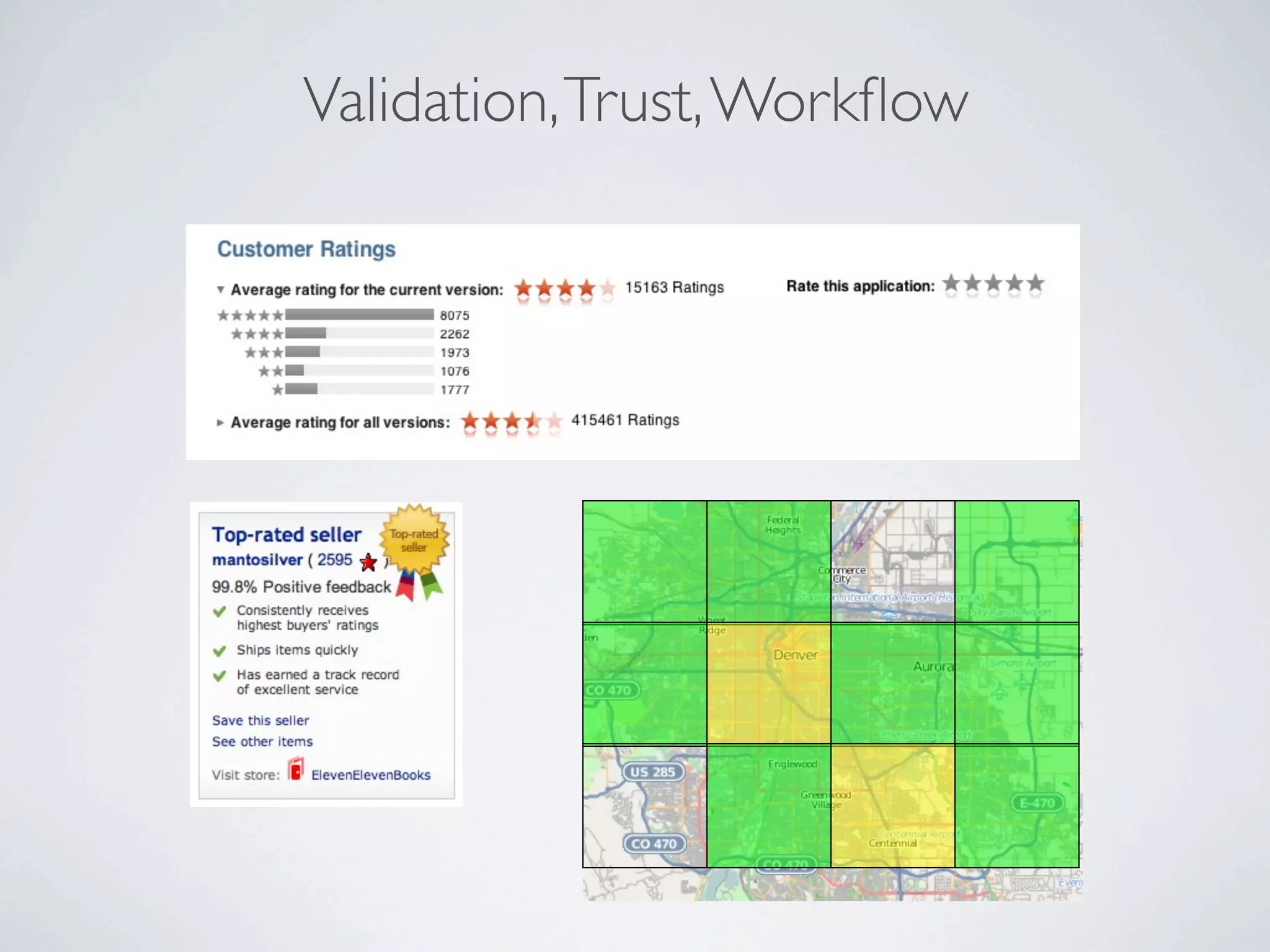

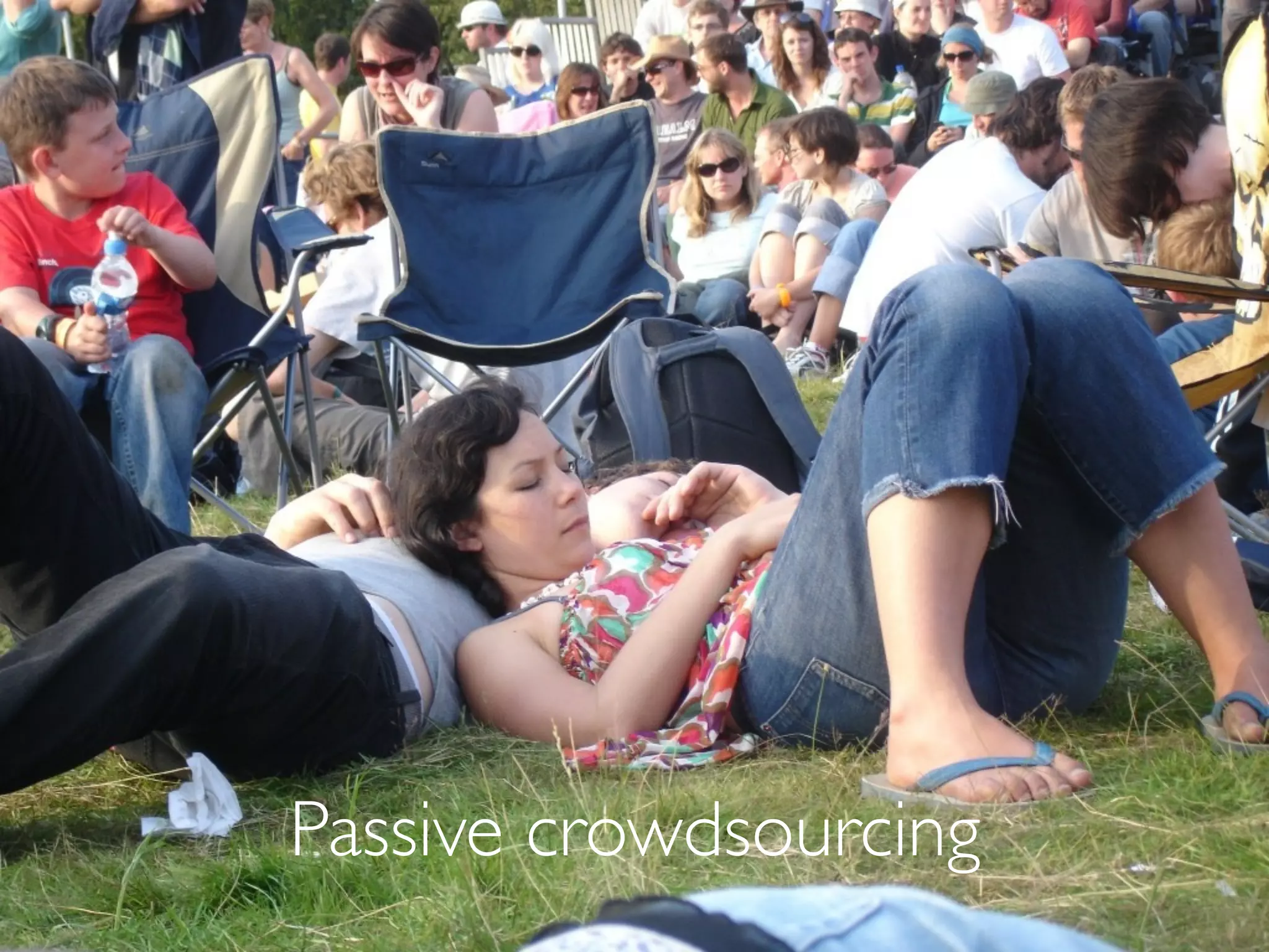
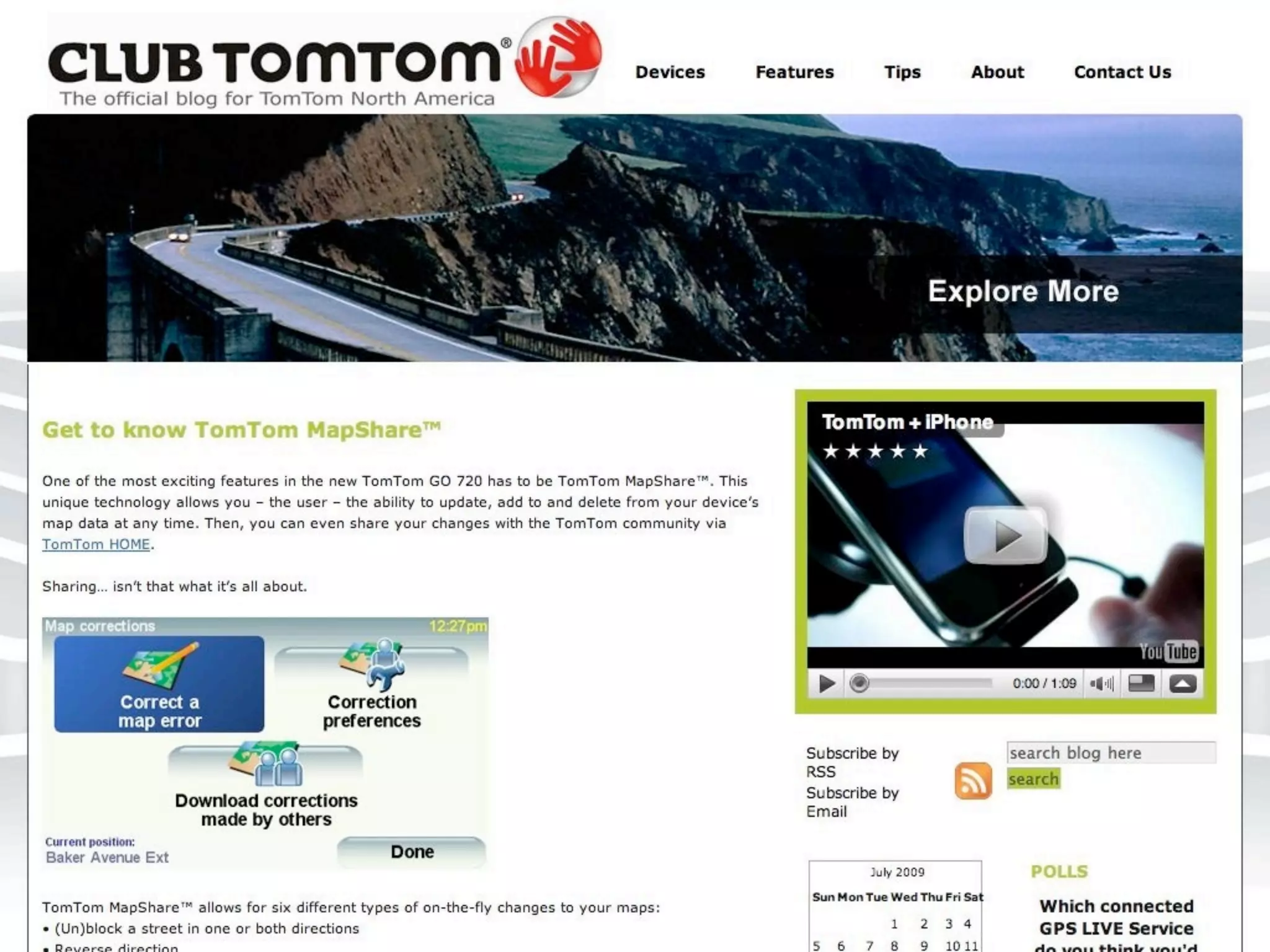
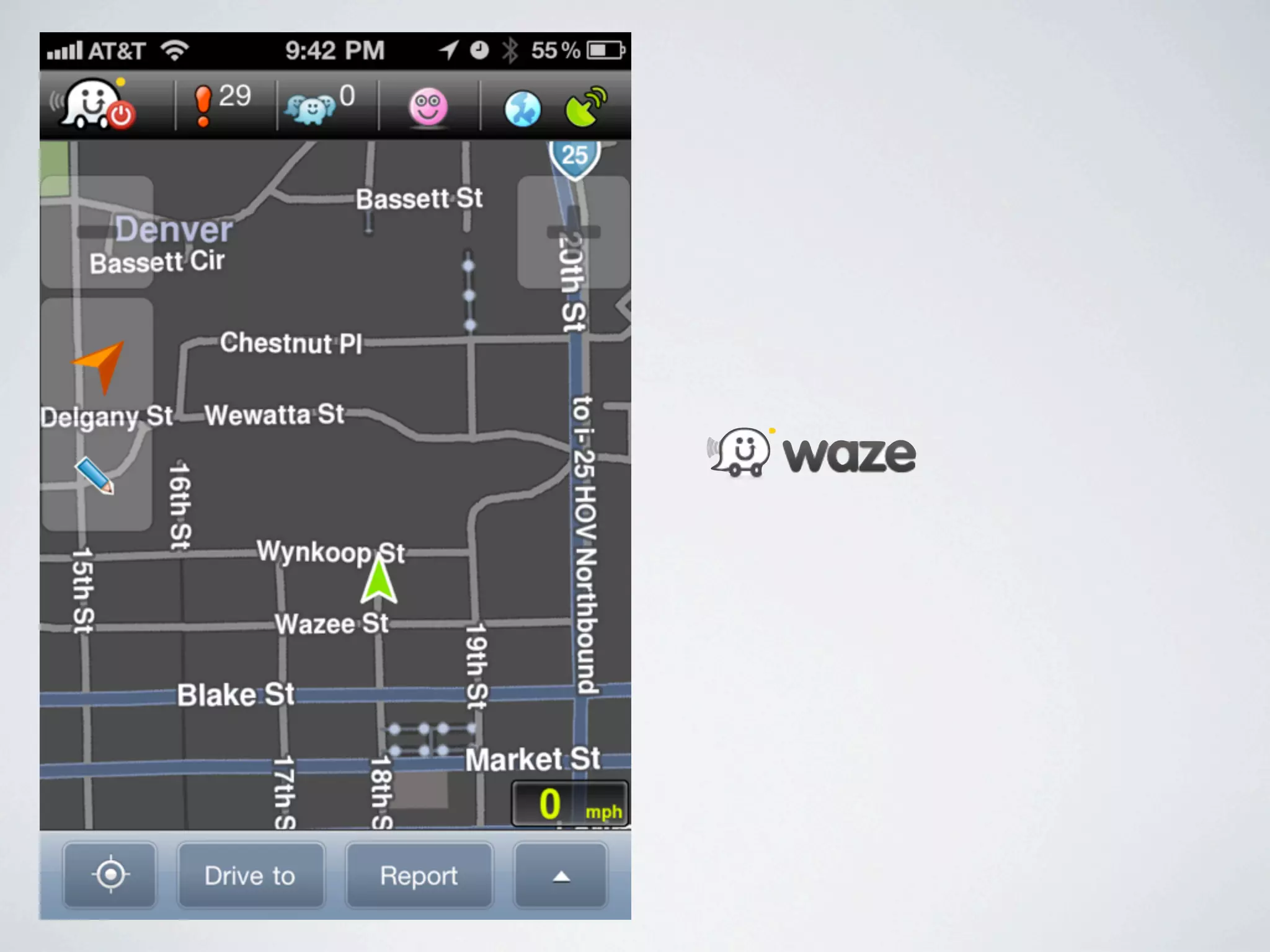
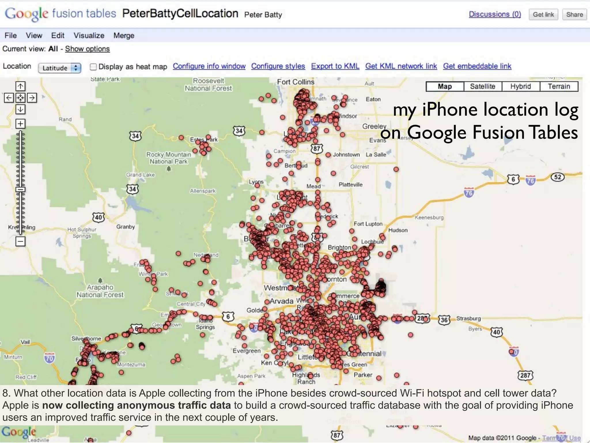


OpenStreetMap (OSM) is a crowdsourced map of the world. It began in 2007 and has grown significantly since then, with over 18 million miles of roads mapped by over 700 contributors. OSM data quality has been found to be high enough for many uses. The Humanitarian OSM Team uses OSM for disaster response. OSM is used in many mobile applications and for routing. The future of OSM includes managing trust, licensing issues, and monetizing through mobile applications.


![Vibe Coding vs. Spec-Driven Development [Free Meetup]](https://cdn.slidesharecdn.com/ss_thumbnails/vibecodingvsspecdrivendevelopment-251209105622-43f455e7-thumbnail.jpg?width=640&height=640&fit=bounds)


