Download as PDF, PPTX
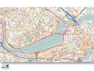
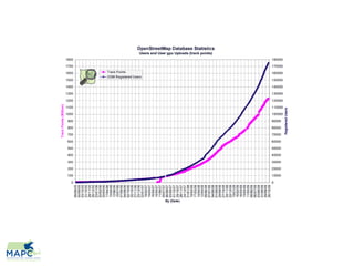

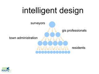
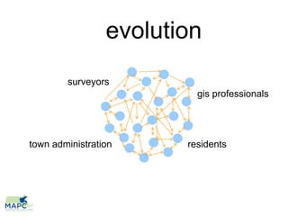
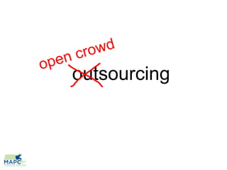
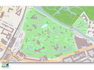
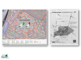
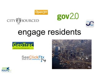
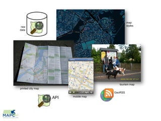
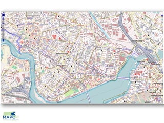

The document discusses the potential benefits of OpenStreetMap for towns, focusing on how local knowledge can be collected and shared through community engagement. It highlights various tools and platforms like mobile map APIs and public data distribution that can enhance urban planning and tourism. Additionally, it emphasizes the role of GIS professionals and town administration in harnessing this data for smarter city design.


![5G Explained! A High Level Overview [Introduction]](https://cdn.slidesharecdn.com/ss_thumbnails/5gexplainedahighleveloverview-260119165306-cc137a3e-thumbnail.jpg?width=640&height=640&fit=bounds)


