Downloaded 42 times
![Urban Planning Education In Context With Mobile Phones [email_address] John Cook Learning Technology Research Institute, London Metropolitan University Slides available from http://www.slideshare.net/johnnigelcook](https://image.slidesharecdn.com/urbaneducation-090421114753-phpapp01/75/Urban-Planning-Education-In-Context-With-Mobile-Phones-1-2048.jpg)


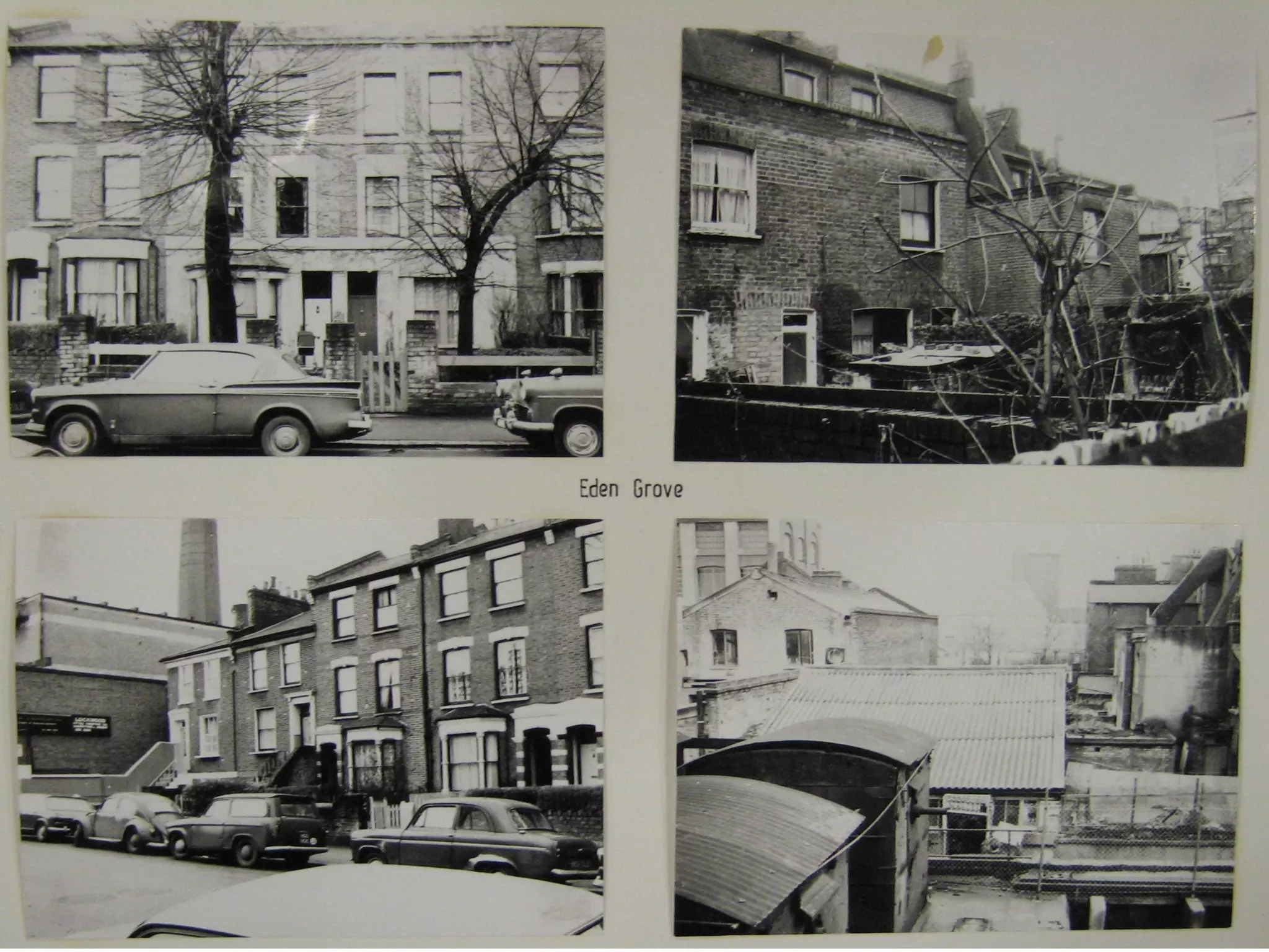


The document discusses a project focused on urban planning education that utilizes mobile learning technologies to provide contextualized understanding of educational discourse in urban areas near London Metropolitan University. It highlights the development of context-sensitive and location-aware mobile applications, which facilitate active learning and enhance the educational experience for trainee teachers. The findings indicate that students appreciated the interactive nature of the mobile tours, leading to a deeper engagement with the subject matter and practical considerations for future applications of mobile learning in educational contexts.


