Download to read offline
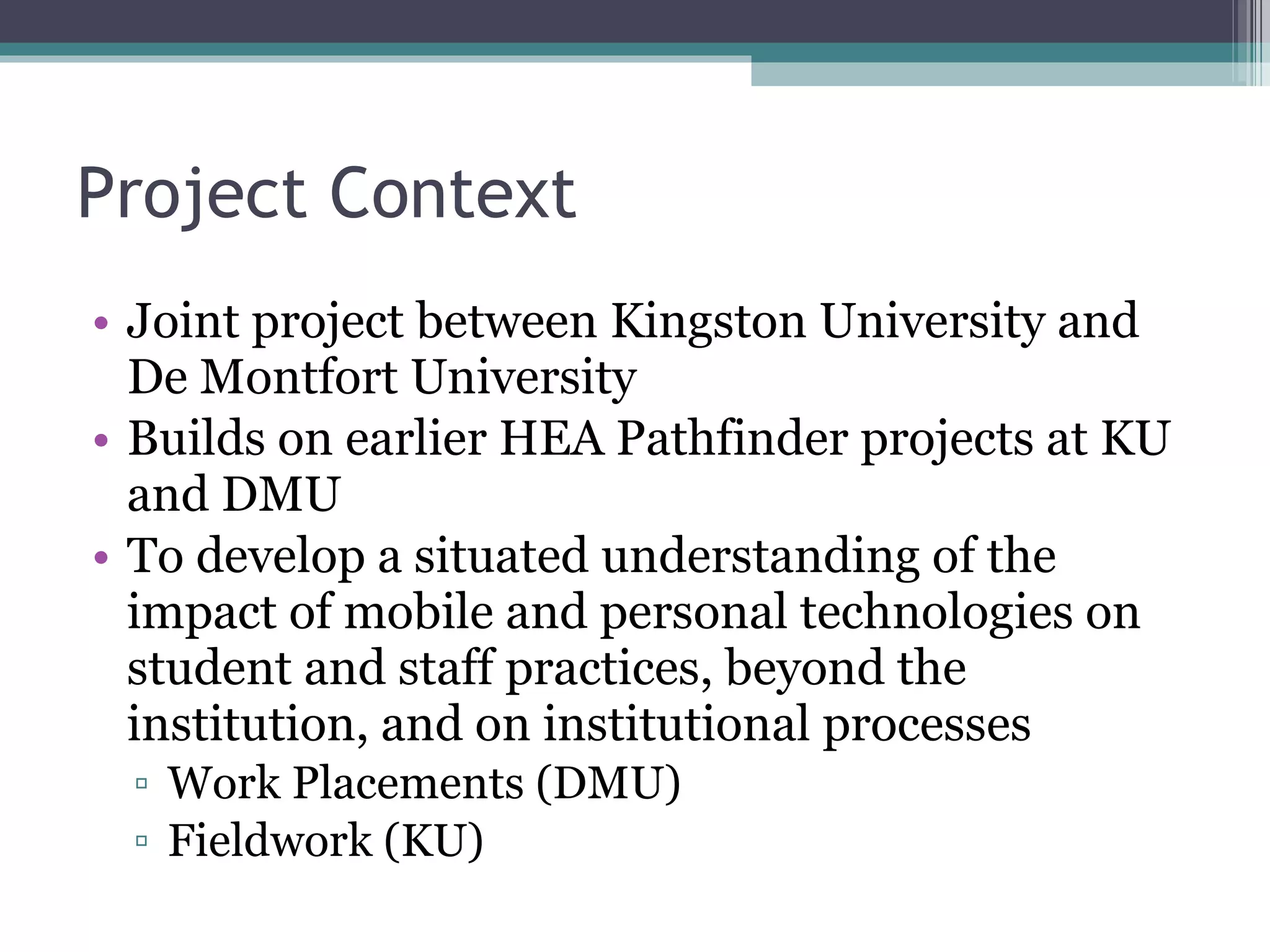
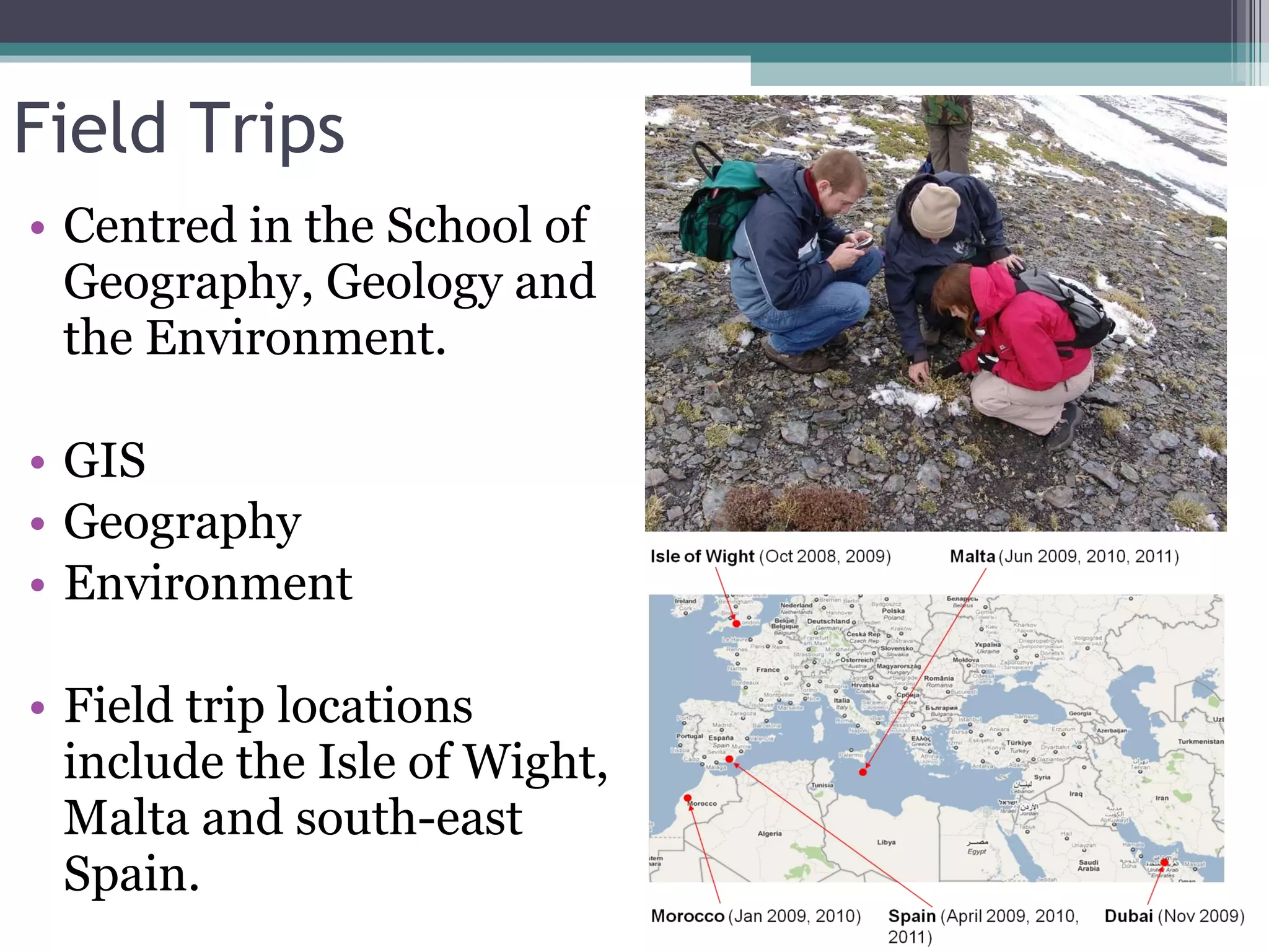
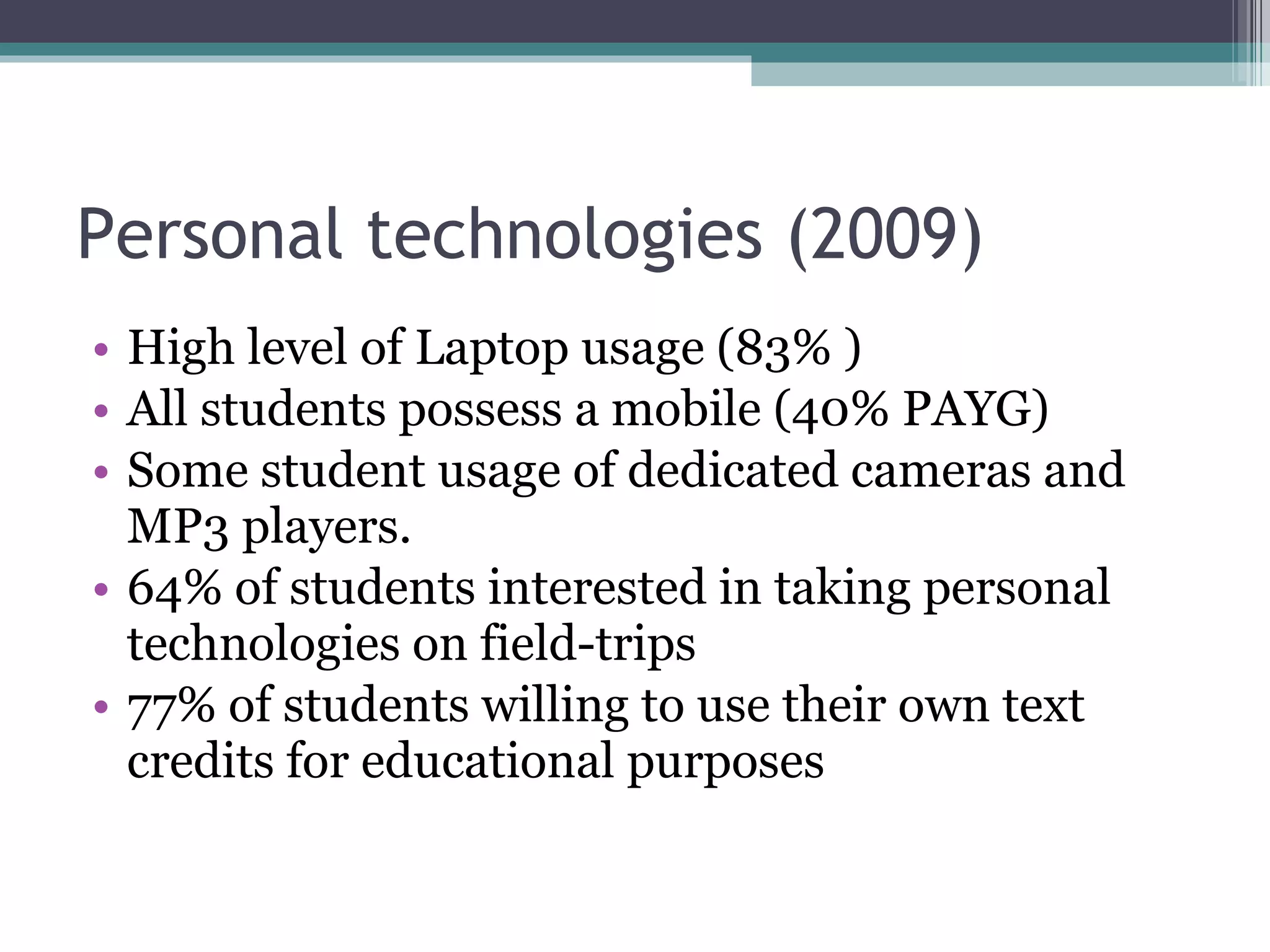
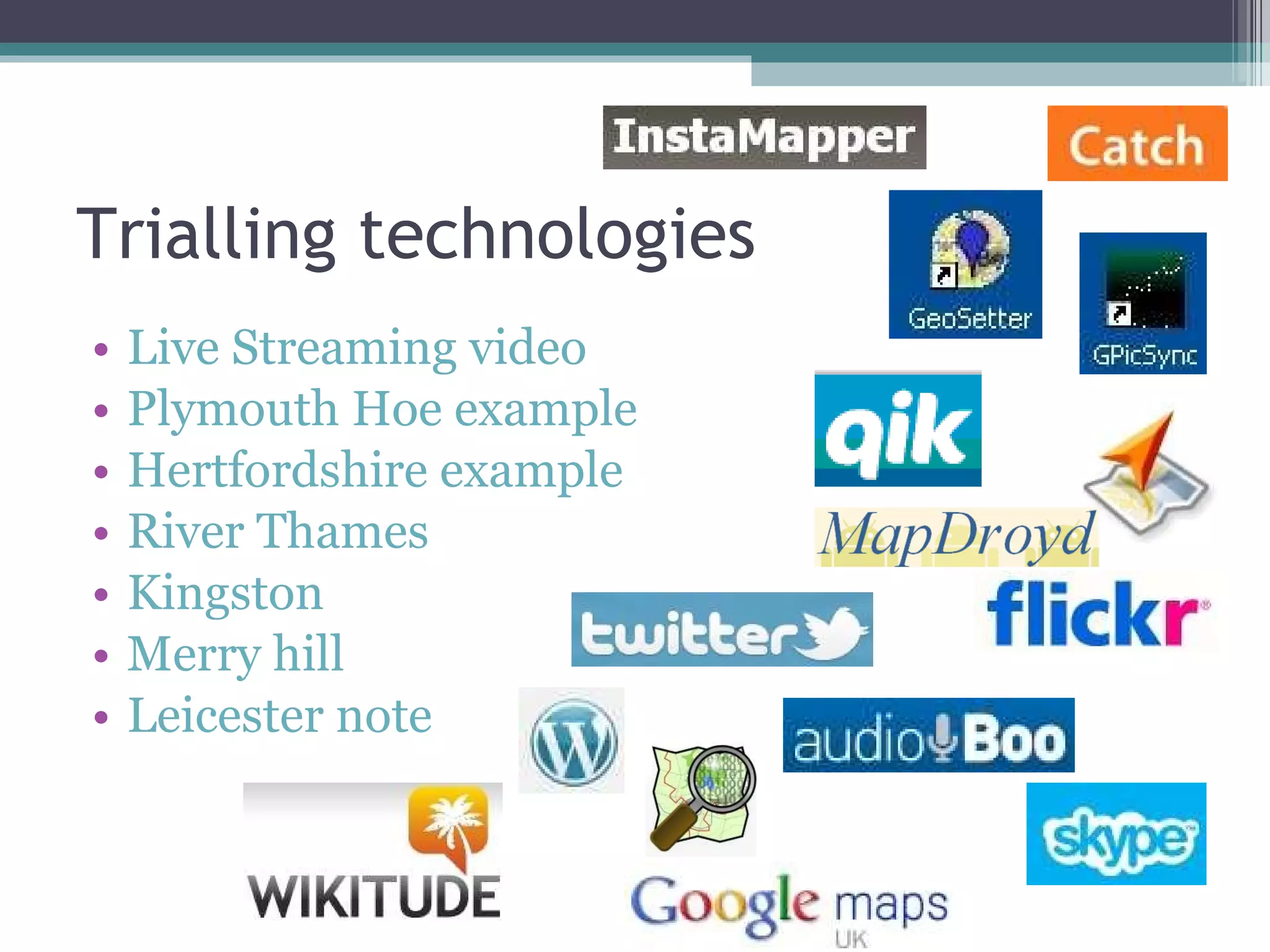
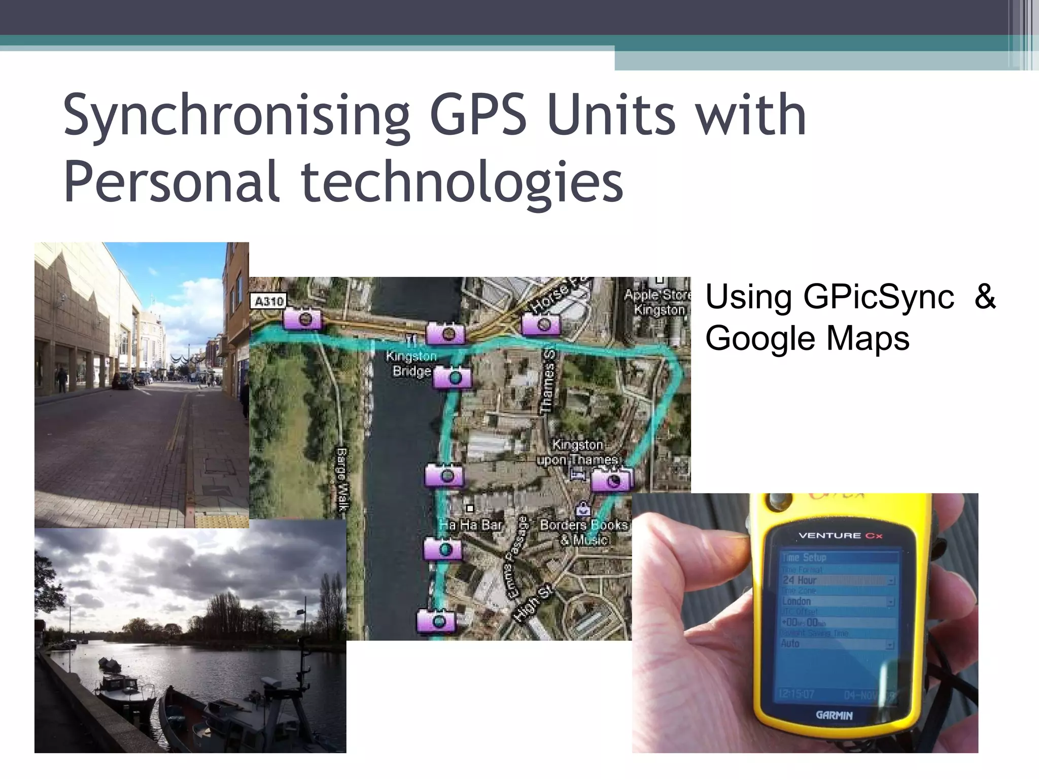
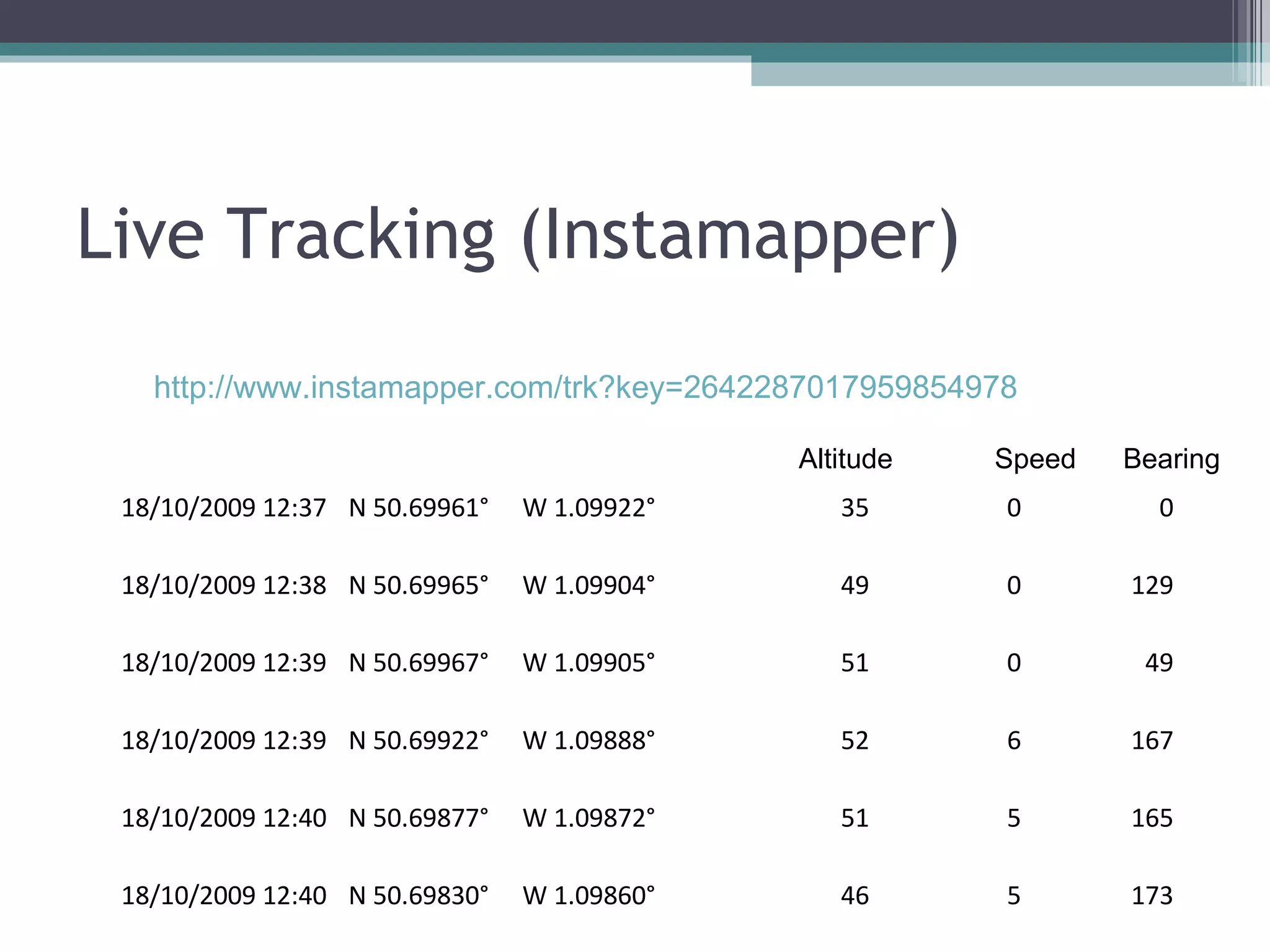
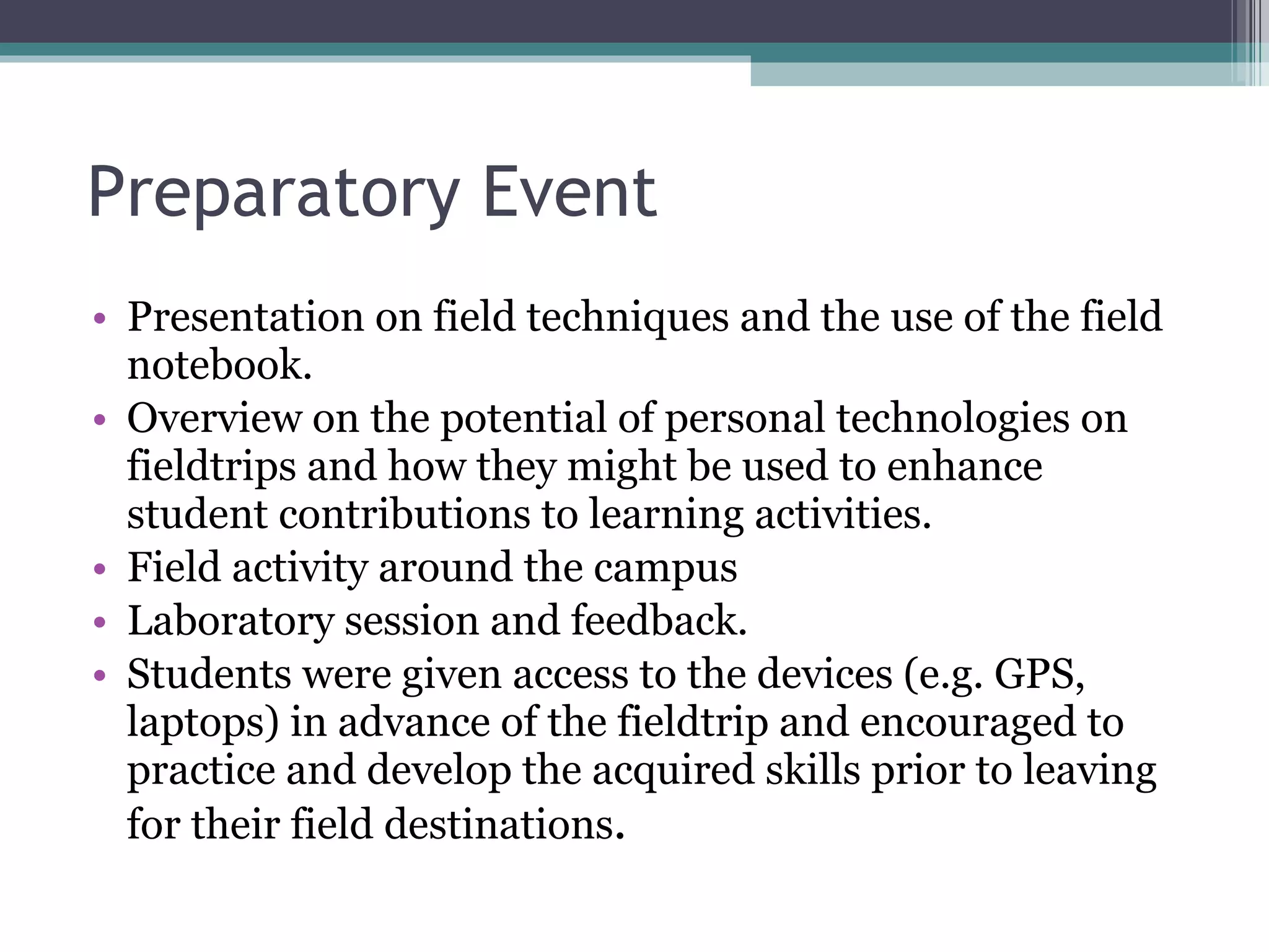
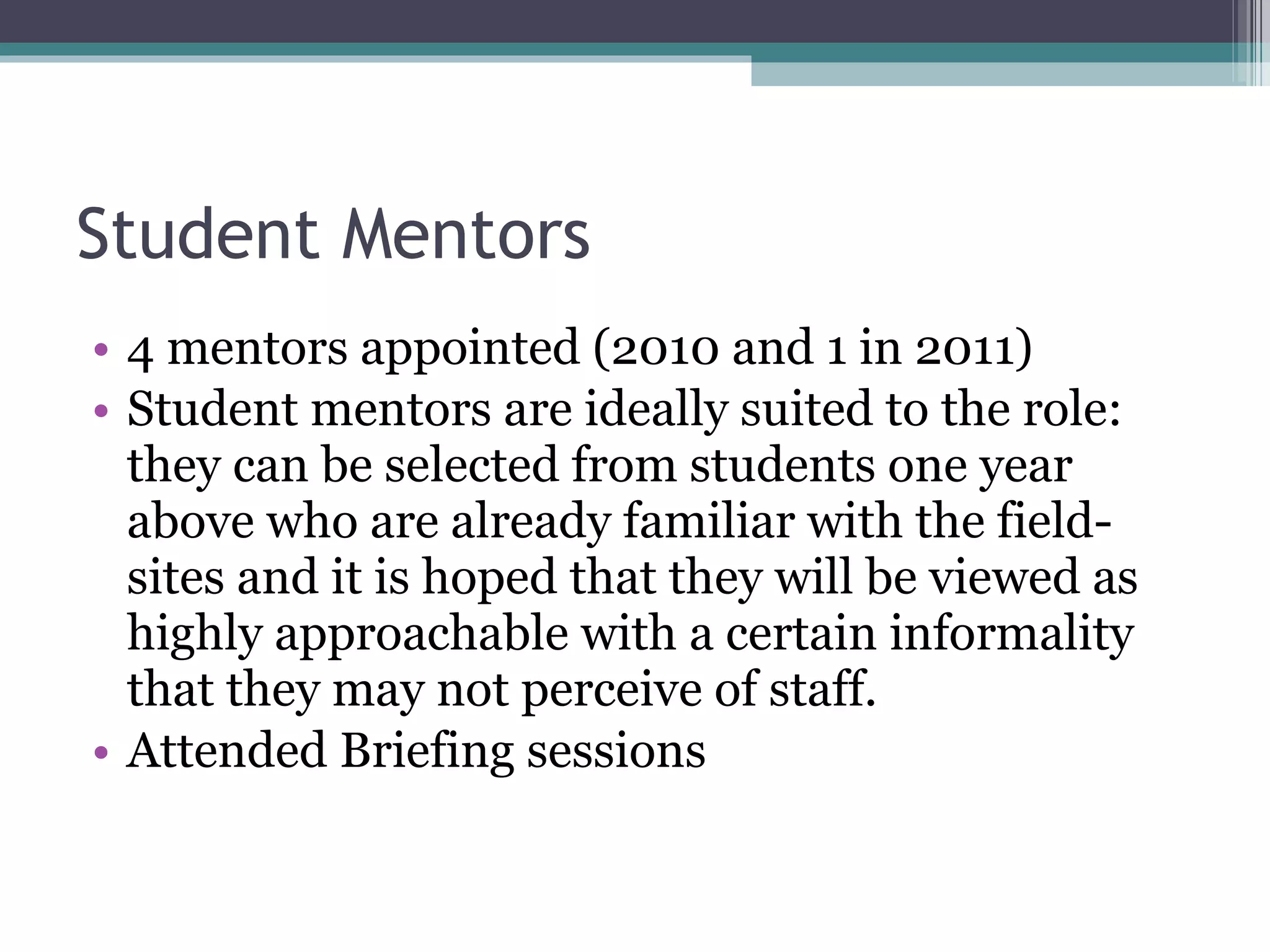
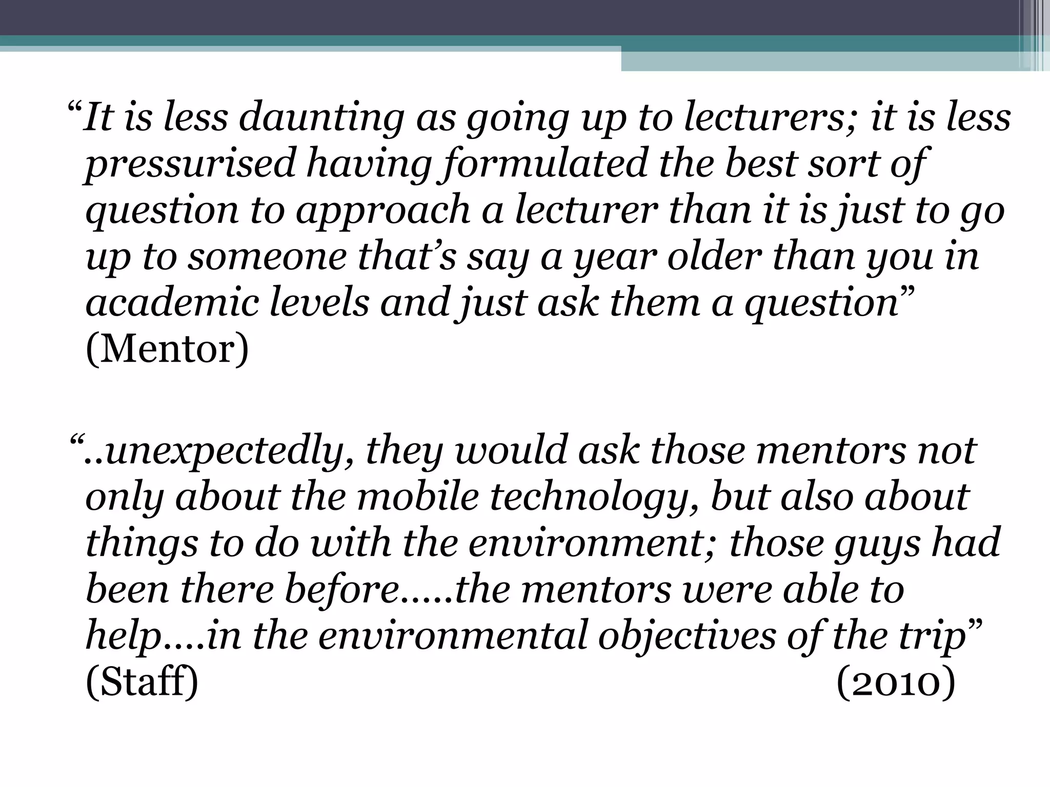

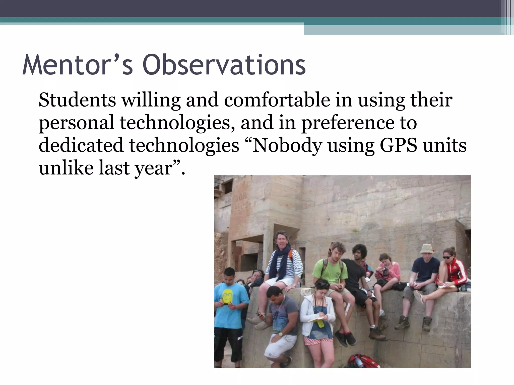

- The document discusses a project between Kingston University and De Montfort University to develop mobile and personal technologies to support student learning during field trips and work placements. - Pilot activities involved students using GPS units, cameras, and social media tools like blogs and Twitter to document their experiences and enhance collaboration. - Evaluations found that over 75% of students felt the technologies made fieldtrips more enjoyable and positively impacted their motivation and understanding. However, staff adoption of these technologies in their teaching was more limited. - Developments in 2011 included updated student guides, appointing a student mentor, and creating new video guides for staff on integrating technologies.


