Downloaded 17 times
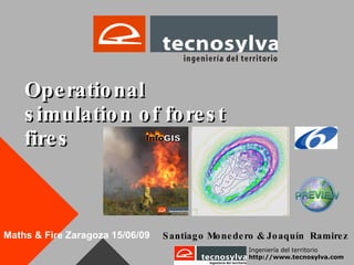
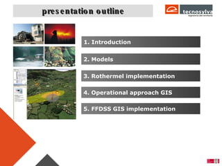
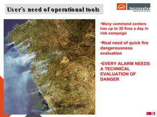

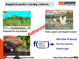
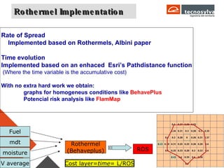


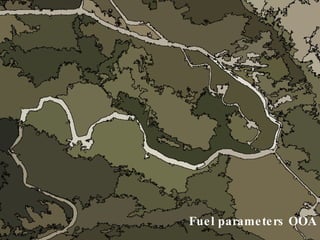
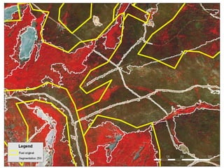

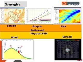
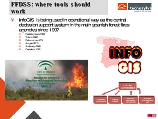
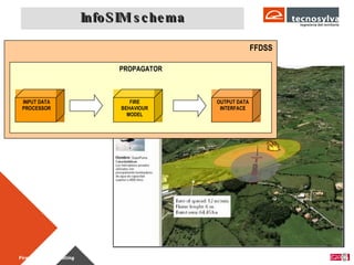
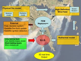
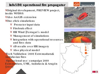
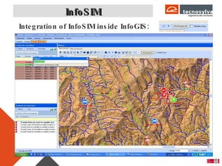
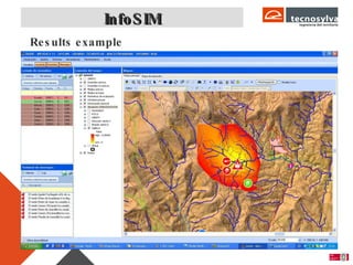
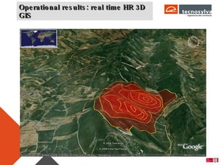
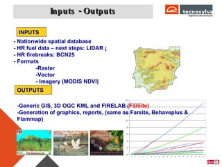
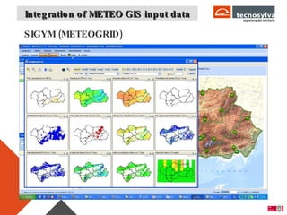
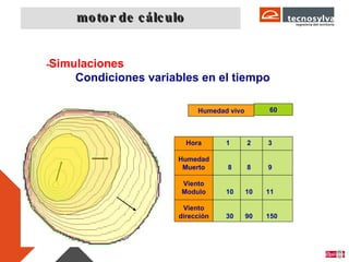
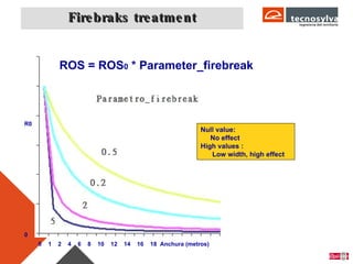
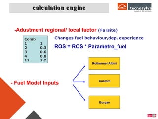
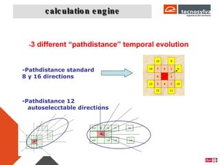
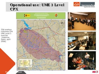

The document discusses operational forest fire simulation tools for supporting decision making. It outlines several models for fire propagation, including empirical Rothermel-based models and computational fluid dynamics physical models. It then describes the InfoSIM system, which integrates these propagation models, high-resolution wind data, and fuel maps into a GIS-based platform to enable real-time 3D wildfire simulation and analysis to support wildfire management. The system has been operationally implemented and validated in several regions in Spain.