Download to read offline
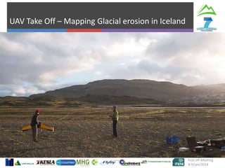
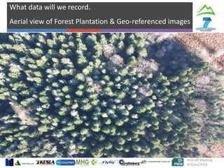
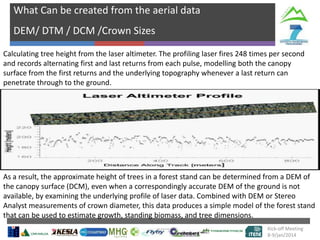
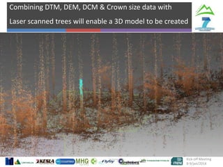
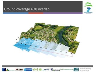
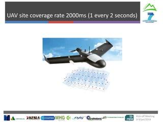
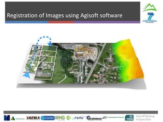
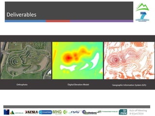
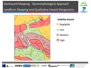
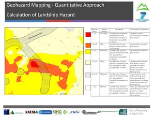
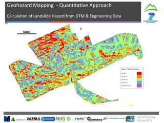
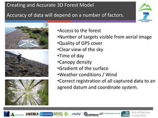


This document discusses the use of unmanned aerial vehicles (UAVs) and laser scanning to map forests and quantify geohazards. It describes how aerial imagery and laser altimetry data captured by UAVs can be used to generate digital elevation models, estimate tree heights, and create 3D models of forest stands. The document also explains how detailed geohazard mapping could allow for more optimized mountain forestry management by quantifying landslide, rockfall, and other risks. Overall, the document outlines how UAV and laser scanning data can provide detailed data needed to model and assess forests and geohazards.