Downloaded 100 times


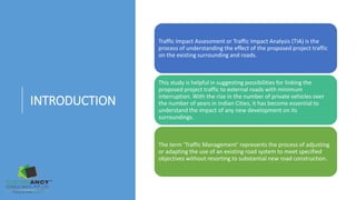
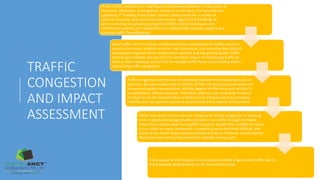

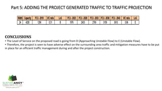

This document defines key terms used in traffic impact assessments and outlines the typical process for conducting one. It involves identifying the context of the site and surrounding road network, conducting a traffic survey of existing conditions, analyzing peak hour traffic and road capacities, estimating additional traffic from the proposed project, adding that to future traffic projections, and drawing conclusions about impacts and needed mitigation measures. The goal is to understand how a new development will affect the existing transportation system and identify solutions to minimize congestion.