Unmanned aerial vehicles can be used for 10 construction applications:
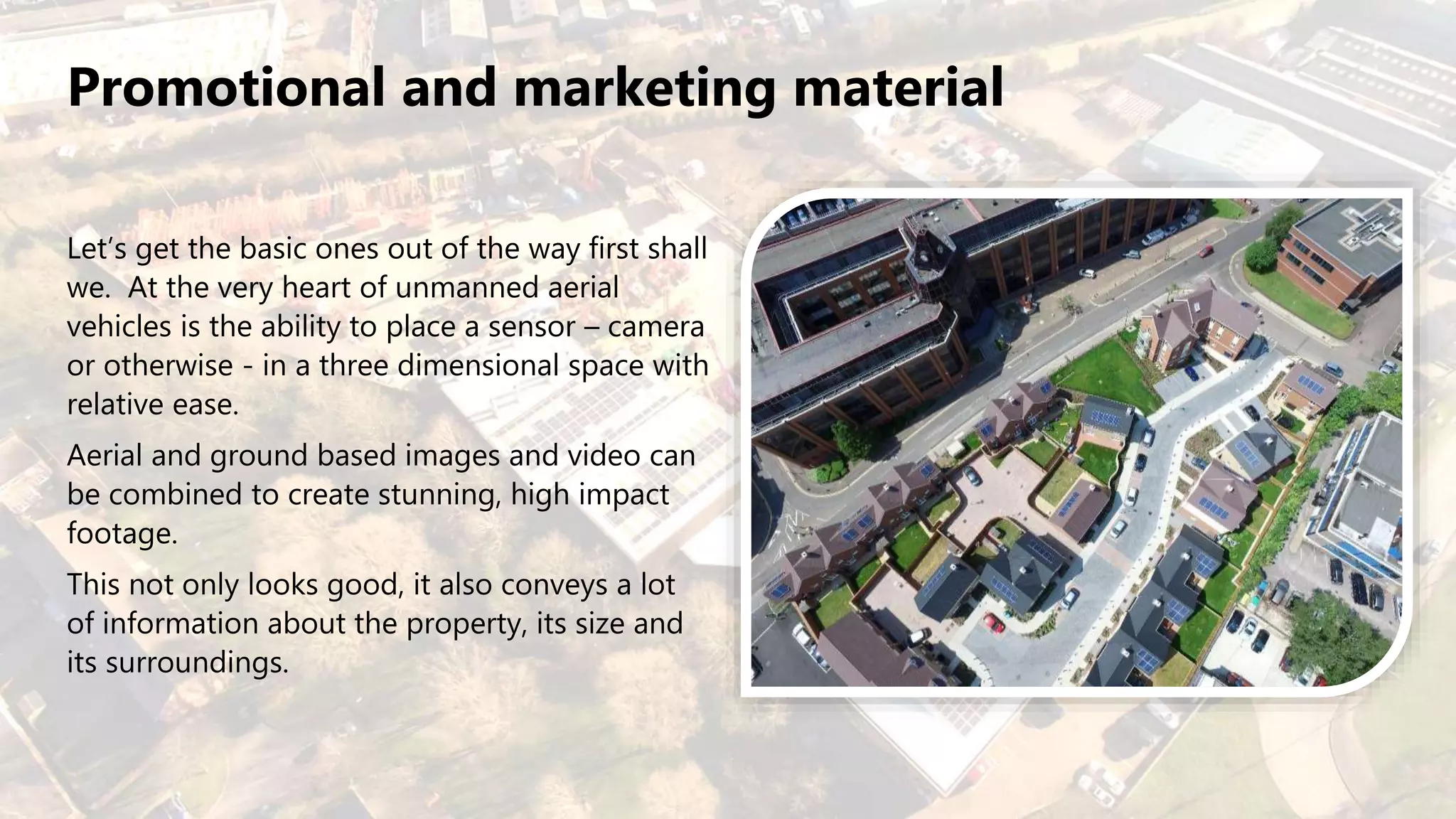
1. Creating promotional and marketing material using aerial and ground images.
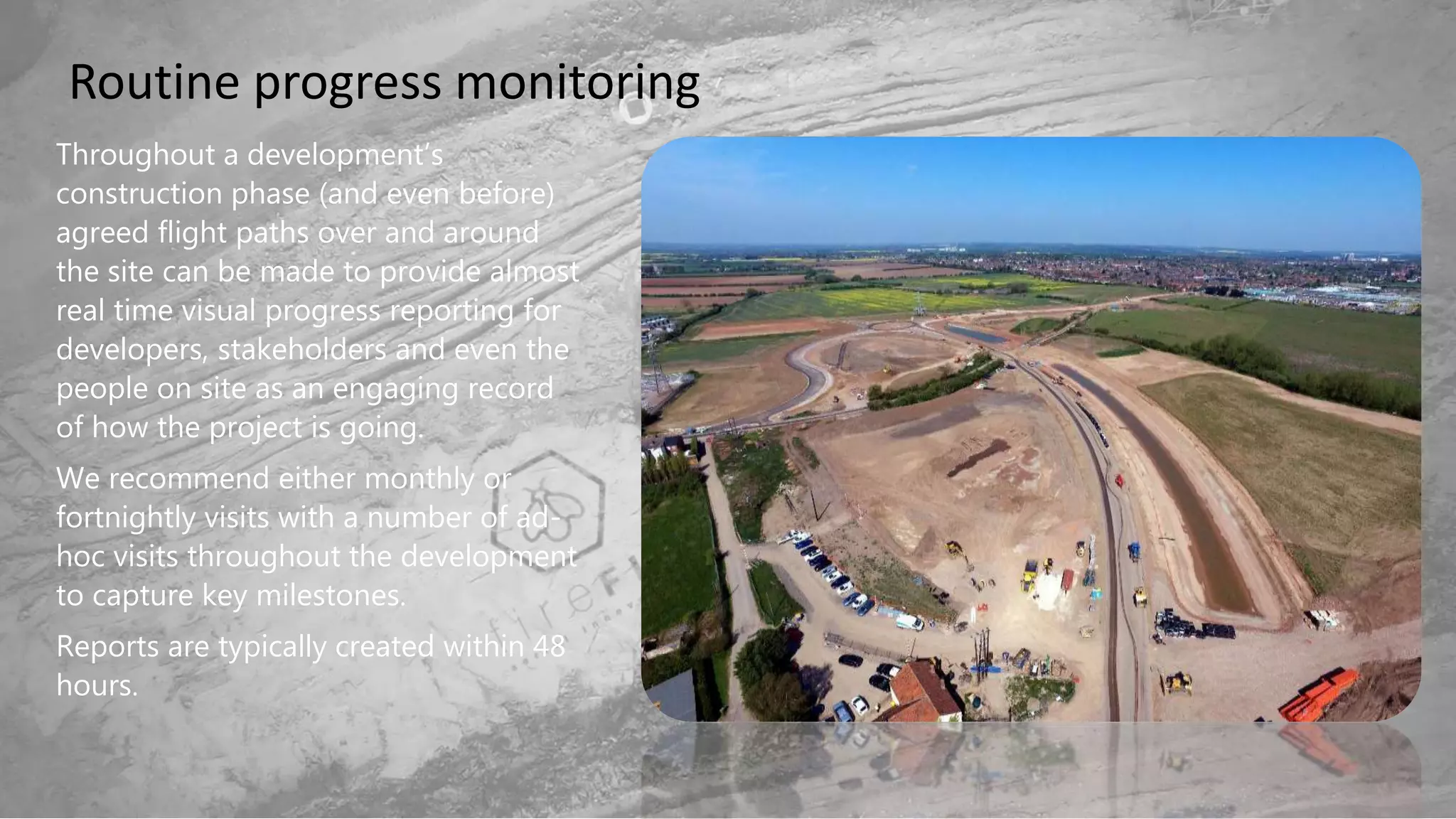
2. Routine progress monitoring through monthly or biweekly flights to capture images of development over time.
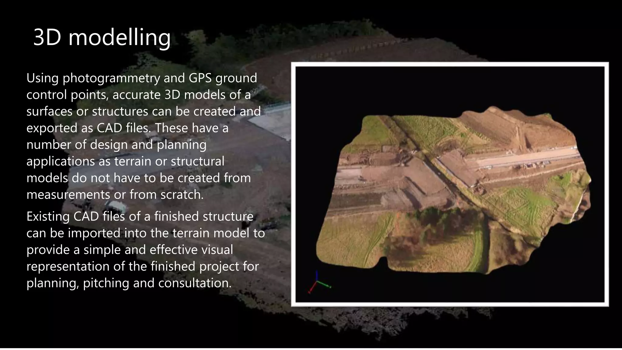
3. 3D modeling using photogrammetry to create accurate CAD models of structures or terrain from aerial images.