Download to read offline


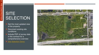
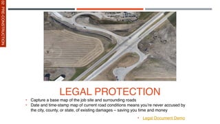


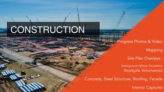
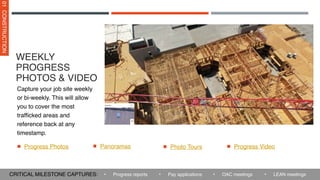
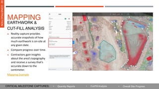

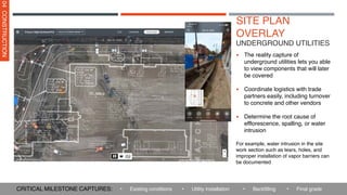


The document outlines the utilization of drones throughout all stages of construction, highlighting their capabilities to enhance safety, productivity, and documentation while reducing costs. With a network of certified pilots and comprehensive drone services, it emphasizes the importance of drones in improving project oversight and stakeholder communication. The summary includes applications during pre-construction, construction, and post-construction phases, showcasing how drones can create digital representations of sites, track progress, and document legal conditions.