Download as ODP, PPTX

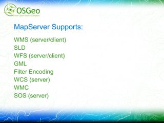
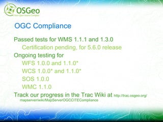
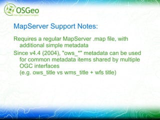
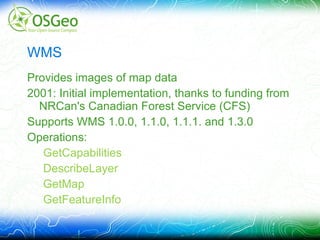
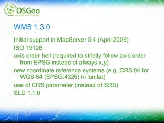
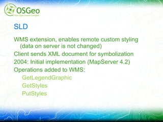
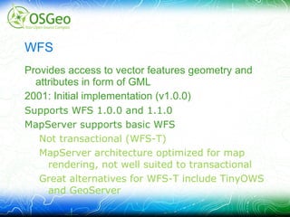


This document summarizes MapServer's support for various OGC web services standards including WMS, WFS, WCS, SLD, SOS, WMC and Filter Encoding. It provides details on the versions and specifications supported, initial implementation dates, key operations and limitations. Ongoing work includes pursuing official OGC compliance and supporting new releases of specifications.