Download as ODP, PPTX


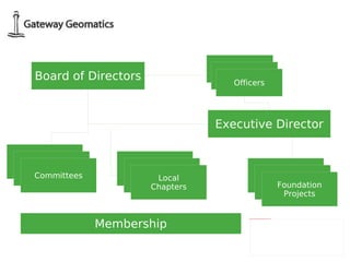

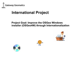
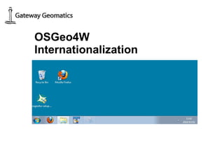
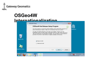
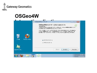
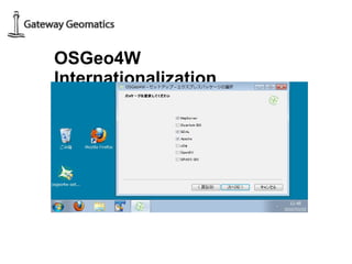


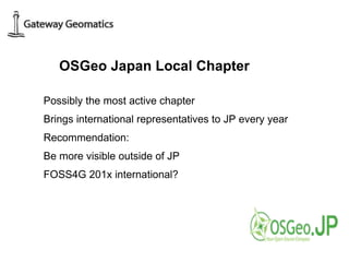

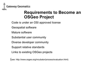

Jeff McKenna discusses fostering international collaboration for open source geospatial software through the OSGeo organization. He demonstrates collaborating on an open software project to internationalize the OSGeo4W Windows installer through joint code sprints involving developers from Japan, the United States, and other locations. McKenna recommends the active OSGeo Japan local chapter expand its outreach and visibility outside of Japan and supports holding future FOSS4G conferences internationally.


![Getting Started with Apache Spark: Big Data Made Simple [Free Meetup]](https://cdn.slidesharecdn.com/ss_thumbnails/apachesparkgettingstarted-260203175547-8361bcc3-thumbnail.jpg?width=640&height=640&fit=bounds)


